

 Antarctica
 Argentina
 Bolivia
 Chile
 Colombia
 Ecuador
 Guyana
 French Guiana
 Falkland Islands (Malvinas)
 Paraguay
 Peru
 Suriname
 Uruguay
 Venezuela
 Germany
 Austria
 Belgium
 Croatia
 Denmark
 Slovakia
 Slovenia
 Spain
 Finland
 France
 Greece
 the Netherlands
 Hungary
 Ireland
 Iceland
 Italy
 Luxembourg
 Norway
 Poland
 Portugal
 the United Kingdom
 the Czech Republic
 Sweden
 Switzerland
 Turkey
 Bermuda
 Canada
 the United States
 Greenland
 Mexico
 Saint Pierre and Miquelon
 the Dominican Republic
 Japan
 South Africa
 Egypt
 Australia
 Fiji
 New Zealand
 Papua New Guinea
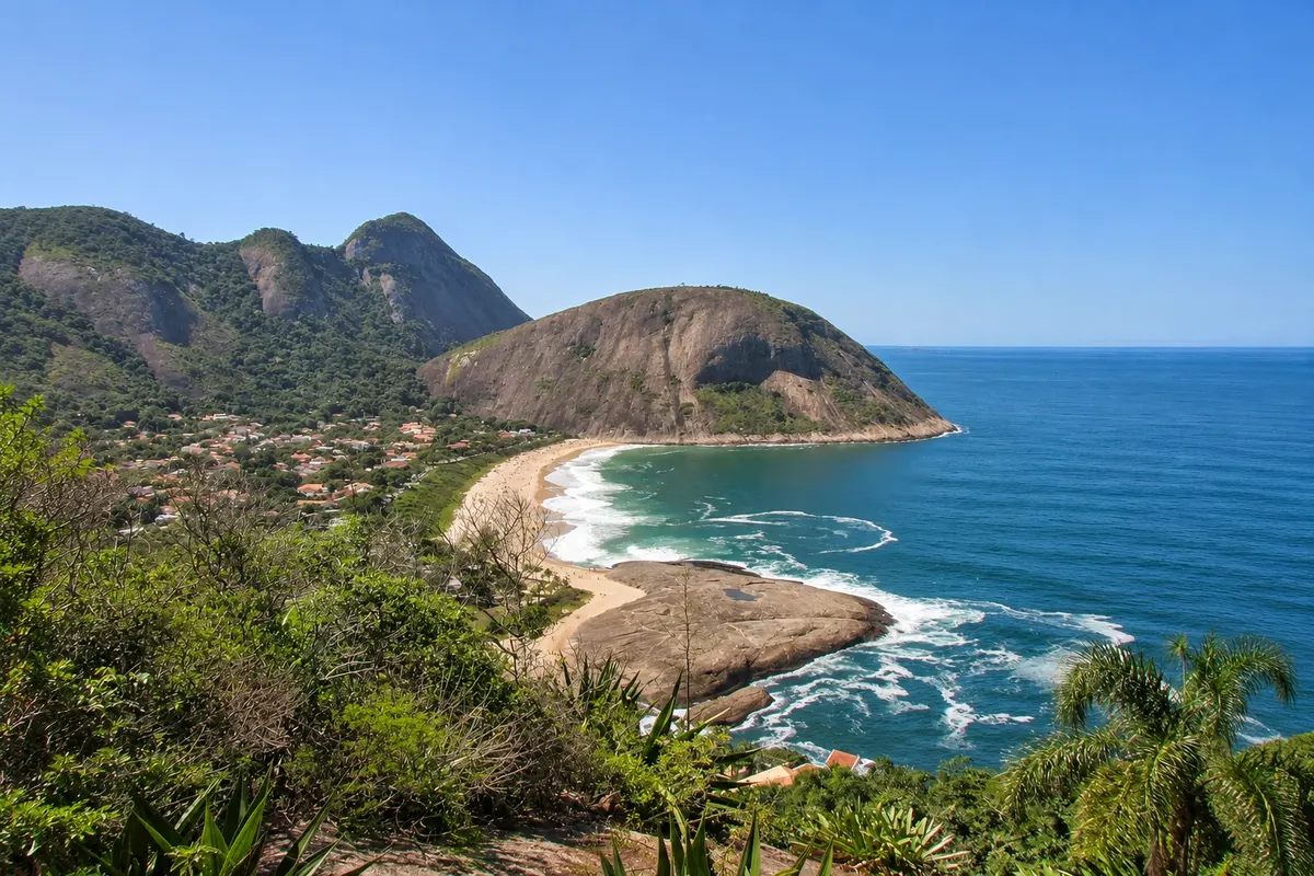
state park · Niterói, RJ
Serra da Tiririca State Park
State park of Atlantic Forest between Niterói and Maricá, with rocky hills above the sea. The most popular trails climb the Itacoatiara Headland (Costão de Itacoatiara), with views of the ocean beaches, and Alto Mourão, above Itaipuaçu beach.
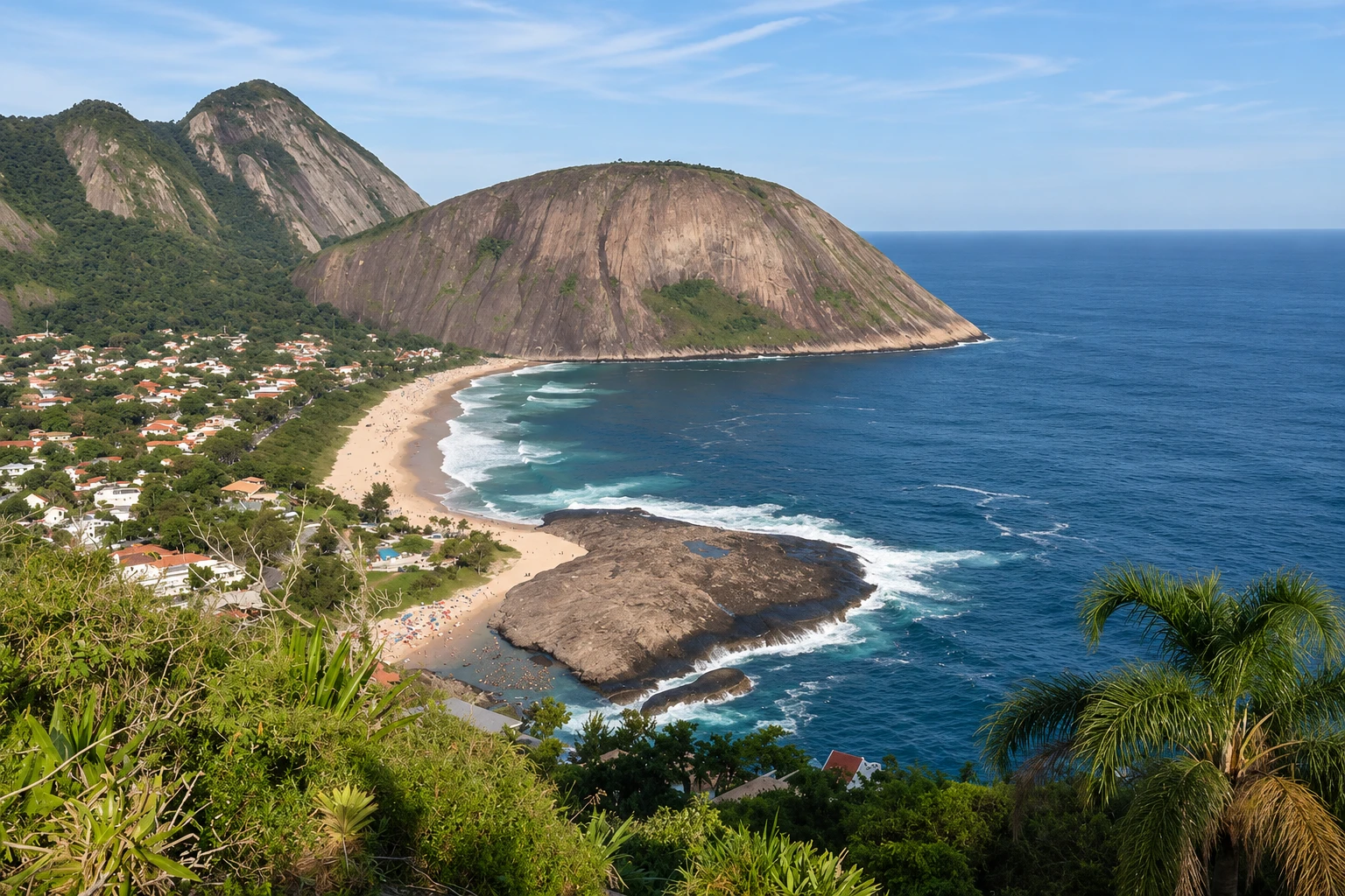
In the photo: Wide landscape of the Serra da Tiririca and Itacoatiara Beach, rounded granite headlands, forested slopes, a sandy shoreline and natural blue ocean.
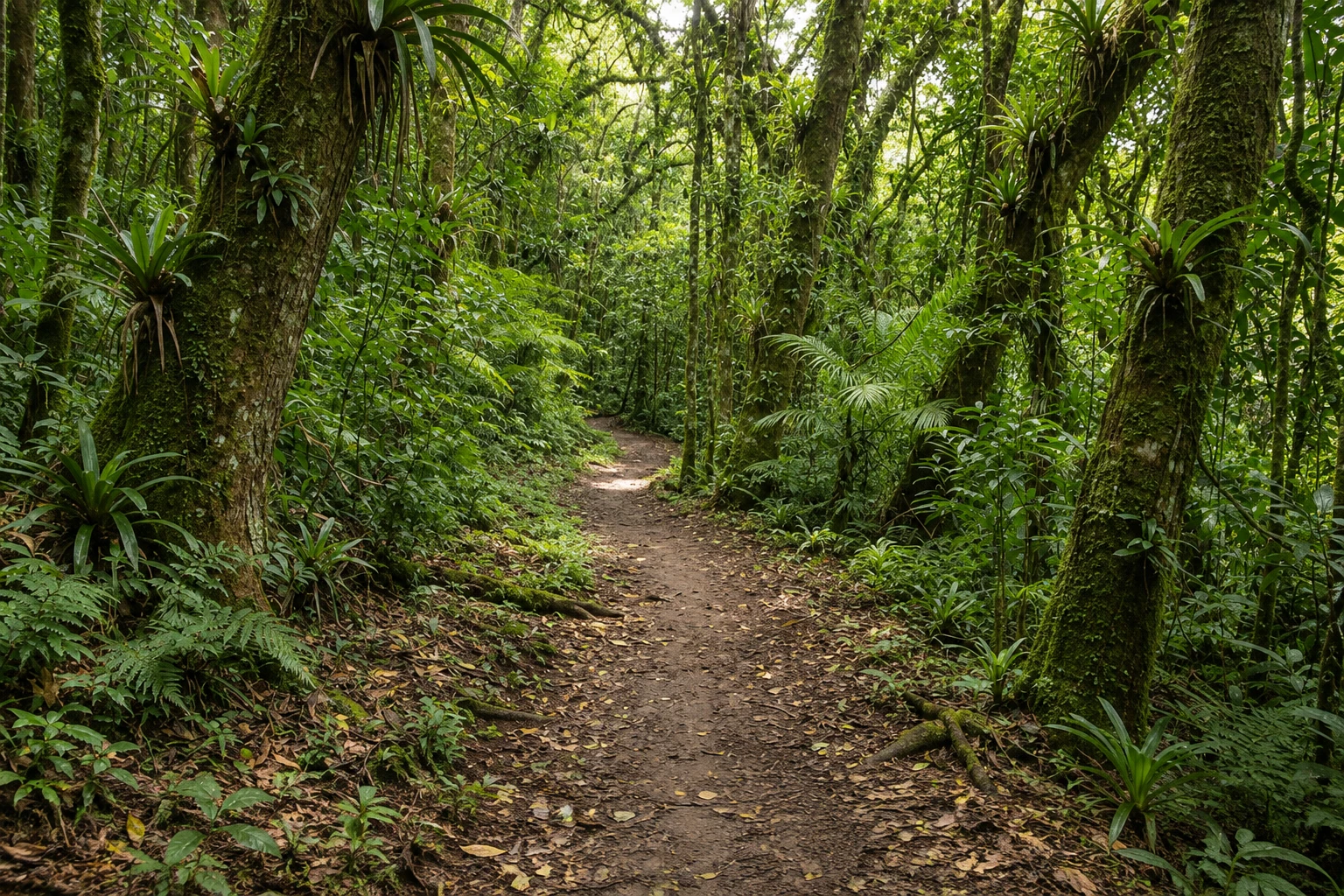
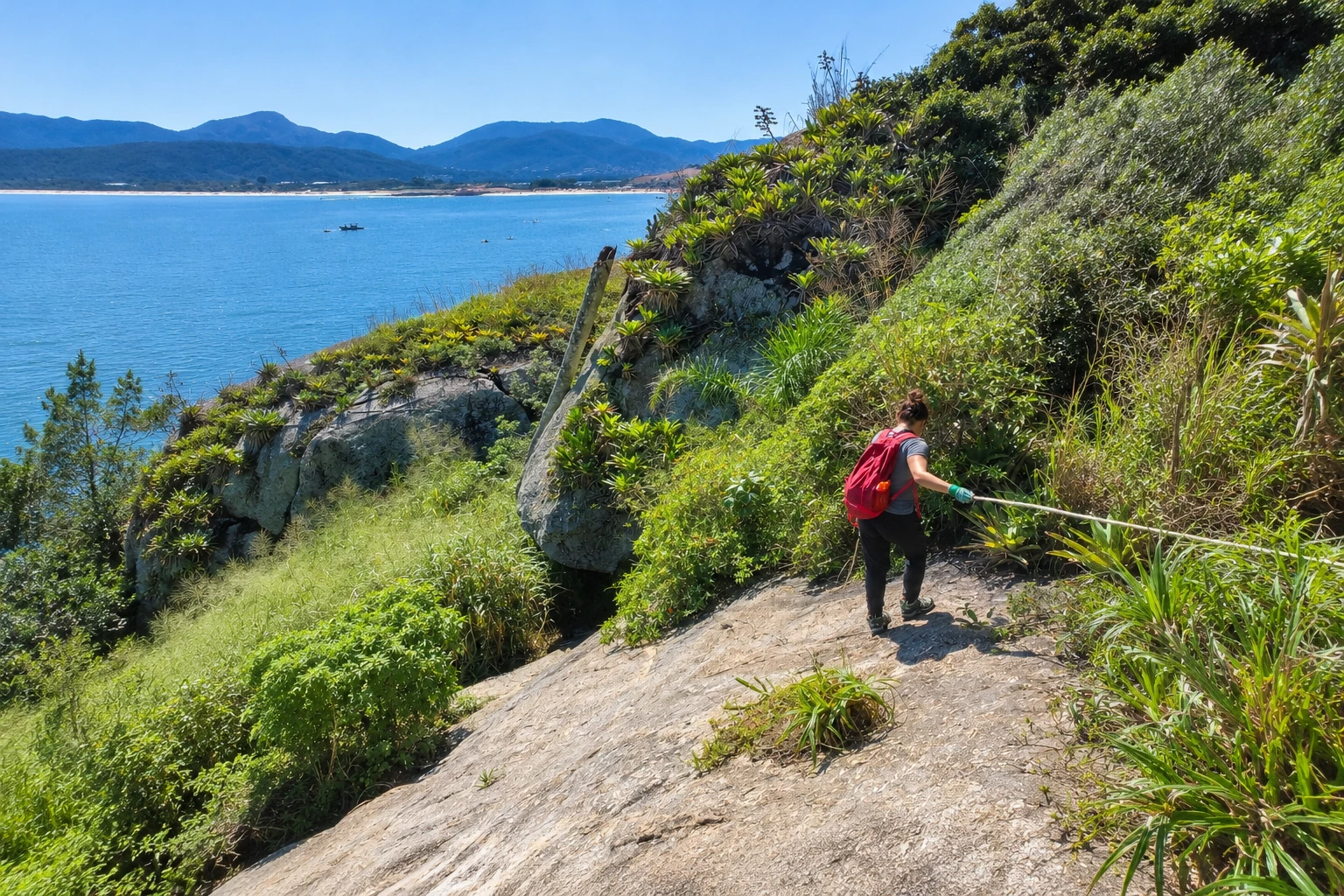
Illustrative images. The pictures in this guide are illustrations based on the real place, not photographs, and may differ from it.


A look at the place
Serra da Tiririca State Park in pictures
These pictures are illustrations based on the real place, not photographs. They may differ from the place.
Click the picture to enlarge it.
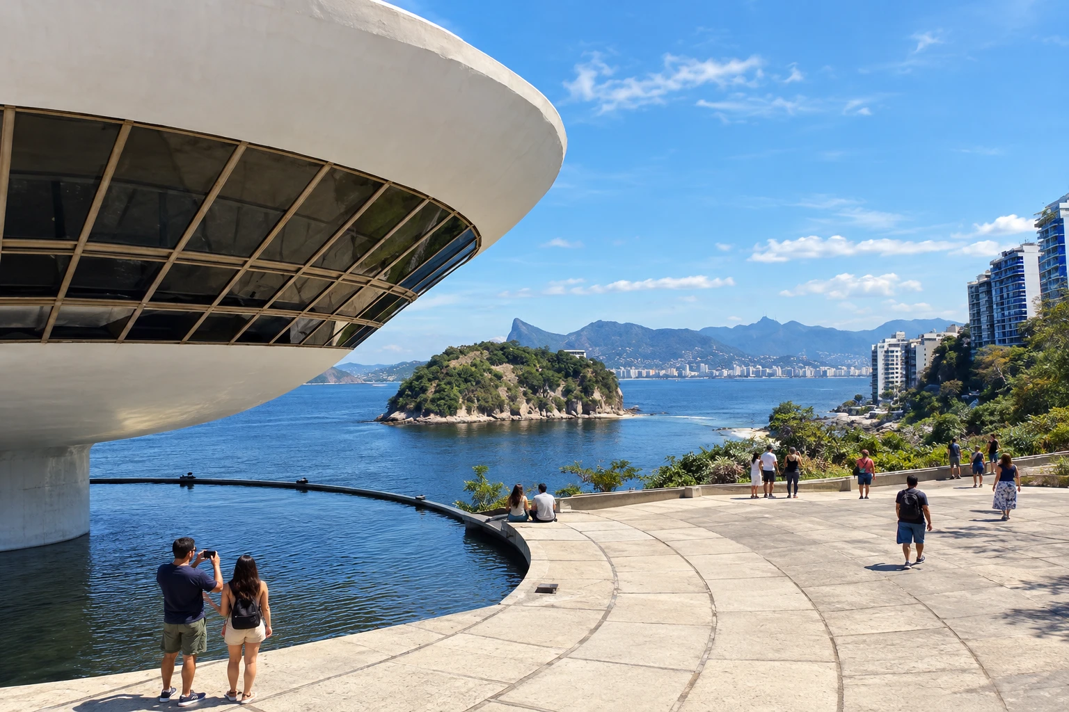
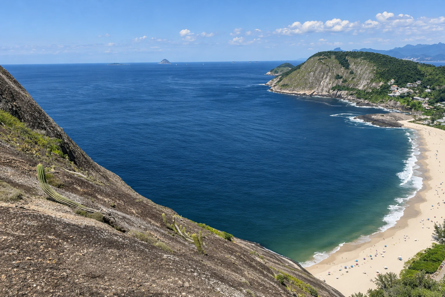
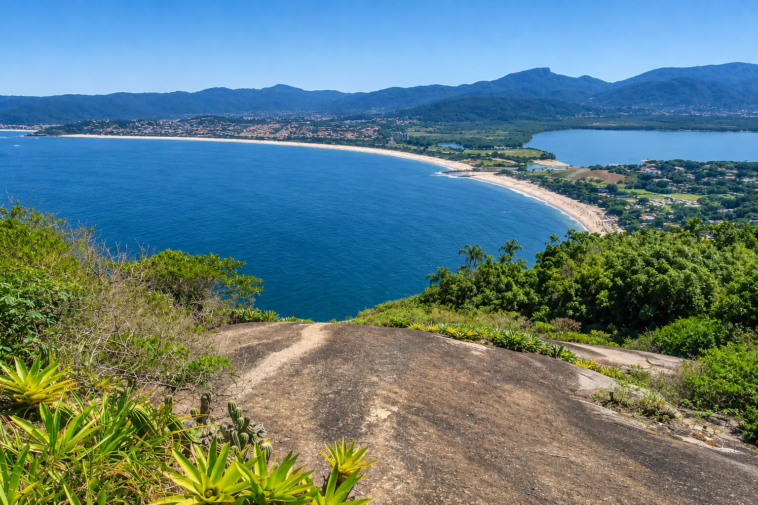
Discover
About Serra da Tiririca State Park
The Serra da Tiririca State Park protects the chain of hills that separates Niterói’s Oceanic Region from Itaipuaçu, in Maricá. Created in 1991 by state law and managed by the State Institute for the Environment (INEA), it includes stretches of Atlantic Forest, rocky headlands and a marine area off the coast between the points of Alto Mourão and the Itacoatiara Headland.
The best-known trail is the Itacoatiara Headland trail, which starts at the end of Itacoatiara beach. The path is short but steep, with sections of rock exposed to the sun; from the top you can see Itacoatiara beach directly below, the beaches of Itaipu and Camboinhas, the lagoons and, on clear days, the mountains of Rio de Janeiro.
On the Maricá side, the Alto Mourão trail climbs to a cliff above Itaipuaçu beach, from where you can see the long straight stretch of sand running east. The park also has other forest trails, such as Pedra do Elefante, also in Itaipuaçu.
The trails lack water and shade for much of the route, and the rocks become slippery in rain. Start early, stay on the marked path and return before dark.
After the climb, Itacoatiara beach — open sea and surrounded by the park’s hills — is the natural place to rest. Check INEA channels beforehand for visiting rules and possible trail closures.
Before you go
Practical information
Cidade Turismo reviews its information regularly, but something may have changed. Check with the place before planning your trip.
How much time to set aside
2 to 3 hours for the Headland trail, round trip. Adding Alto Mourão or Itacoatiara beach, allow a full day.
Best time
From April to September, when there is less rain and lower heat on exposed trails. Start early in the morning at any time of year; in summer, December to March, strong sun and late-afternoon showers require extra caution.
How to get there
The Itacoatiara Headland is at the end of Itacoatiara beach in Niterói’s Oceanic Region, accessible via Estrada Francisco da Cruz Nunes, the main road there. There are municipal buses from downtown Niterói to Itacoatiara. Alto Mourão is accessed from the Itaipuaçu side, in Maricá.
Tip
Bring water, sunscreen and shoes with good grip: the Headland trail has exposed rock and little shade. Afterwards, go down for a swim at Itacoatiara beach, observing the flags and sea conditions.
Official website
Get your questions answered
Frequently asked questions about Serra da Tiririca State Park
What is the best-known trail in Serra da Tiririca State Park?
The Itacoatiara Headland trail, which starts at the end of Itacoatiara beach. It is short but steep, and offers views of Niterói’s ocean beaches and the Rio mountains.
Is the Itacoatiara Headland trail difficult?
It is short and steep, with sections of rock exposed to the sun. It requires moderate fitness, shoes with good grip and water.
Where is Alto Mourão located?
On the Maricá side of the park, above Itaipuaçu beach. The trail climbs to a cliff with views over Itaipuaçu’s long stretch of sand.
Who manages Serra da Tiririca State Park?
The State Institute for the Environment (INEA), of the government of Rio de Janeiro. The park was created in 1991 and lies between Niterói and Maricá.
What is the best time of day to do the Serra da Tiririca trails?
Early morning, to avoid strong sun on the exposed rocks and to have enough time to return before dark.
Beyond the guide


