1 city

 Search
 Brazil
 Antarctica
 Argentina
 Bolivia
 Chile
 Colombia
 Ecuador
 Guyana
 French Guiana
 Falkland Islands (Malvinas)
 Paraguay
 Peru
 Suriname
 Uruguay
 Venezuela
 Germany
 Austria
 Belgium
 Croatia
 Denmark
 Slovakia
 Slovenia
 Spain
 Finland
 France
 Greece
 the Netherlands
 Hungary
 Ireland
 Iceland
 Italy
 Luxembourg
 Norway
 Poland
 Portugal
 the United Kingdom
 the Czech Republic
 Sweden
 Switzerland
 Turkey
 Bermuda
 Canada
 the United StatesGreenland
 Mexico
 the Dominican RepublicTurkey
 South Africa
 Egypt
 Australia
 Fiji
 New Zealand
 Papua New Guinea
Municipality · Arctic Circle
Kangerlussuaq and the ice sheet, Sisimiut, the Arctic Circle Trail, the fjords of Maniitsoq and the Inuit heritage of Aasivissuit–Nipisat.
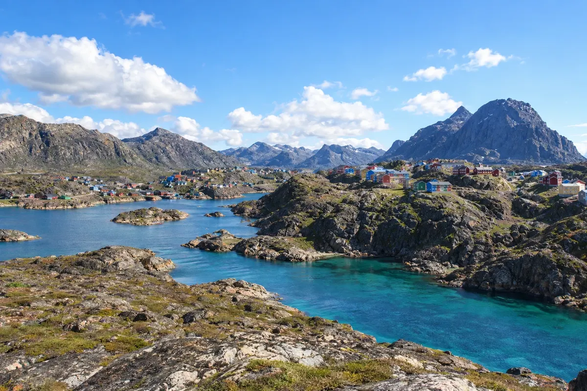
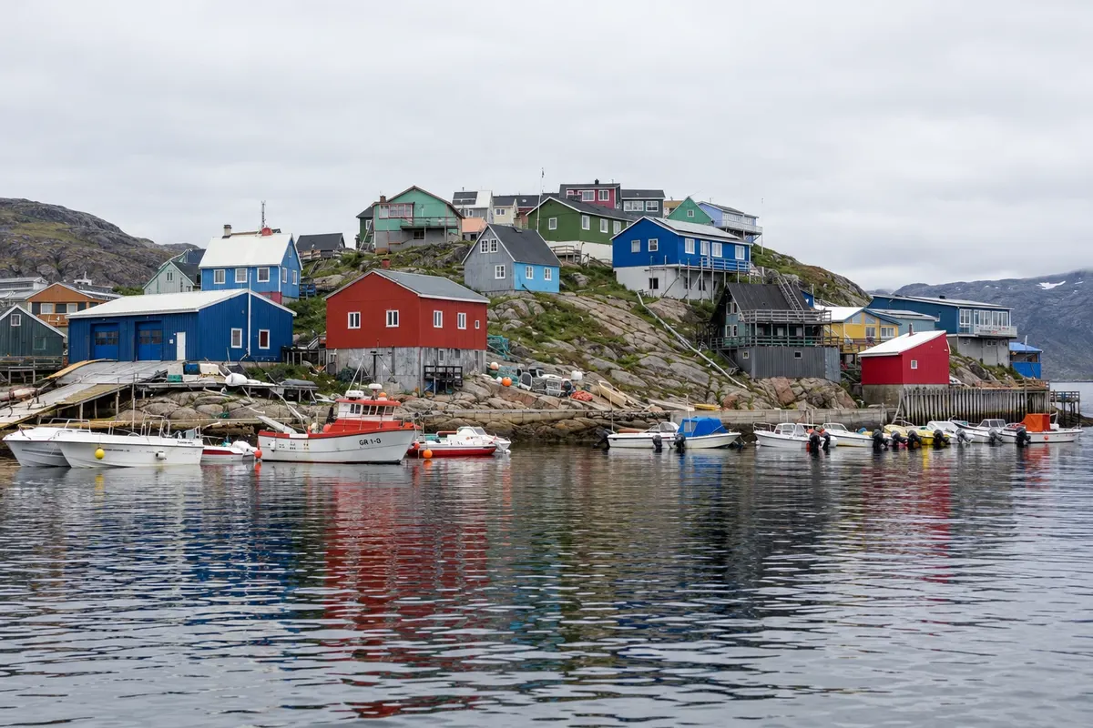
In the photo: Houses and boats along the rocky coast of Maniitsoq, in Qeqqata.
Illustrative images. The pictures in this guide are illustrations based on the real place, not photographs, and may differ from it.
The municipality
Qeqqata, “the middle one” in Greenlandic, lies along the central west coast of Greenland and is crossed by the Arctic Circle. It extends from the sea to the ice sheet and includes Sisimiut, the administrative center and the country’s second-largest town, Maniitsoq and Kangerlussuaq at the end of a long, narrow fjord.
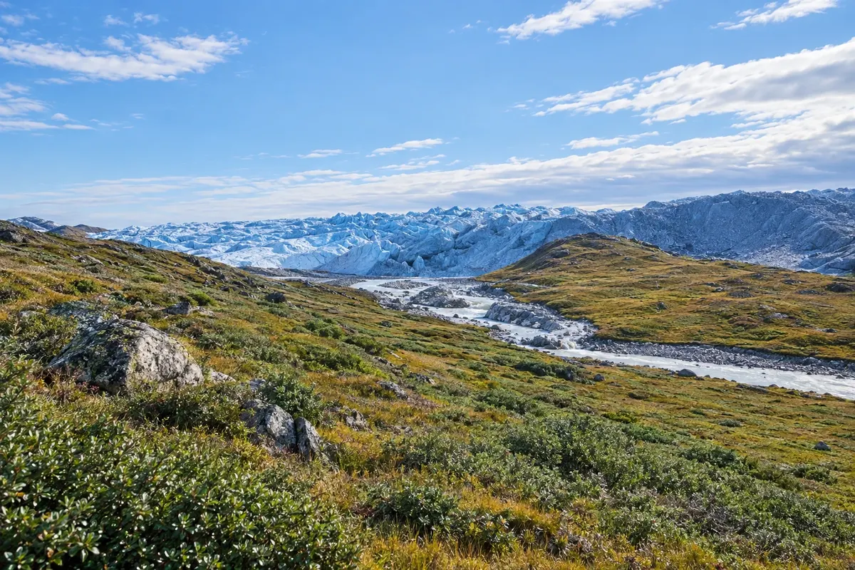
Kangerlussuaq began as a US air base during World War II and for decades was the country’s main international airport. It is the easiest place to reach the ice sheet: a gravel road leads from the town to Point 660, on the ice edge, passing close to the Russell Glacier. Muskoxen and reindeer live on the surrounding tundra.
Between Kangerlussuaq and the sea lies Aasivissuit–Nipisat, a UNESCO World Heritage site since 2018. It is an Inuit hunting landscape between the ice and the sea, with remains of camps, reindeer traps and settlements spanning about 4,200 years of history, from Aasivissuit near the ice to the island of Nipisat near Sisimiut.
Sisimiut is a fishing town with colonial-era houses gathered in a museum by the harbor, and mountains you can hike, such as Nasaasaaq. It is the southernmost town on the west coast where dog sleds are still used. The Arctic Circle Trail, a multi-day route with simple huts along the way, links Kangerlussuaq to Sisimiut across tundra and lakes.
Maniitsoq, to the south, sits on an island among fjords and high mountains, popular for boat tours and backcountry skiing.
Destinations
Cities
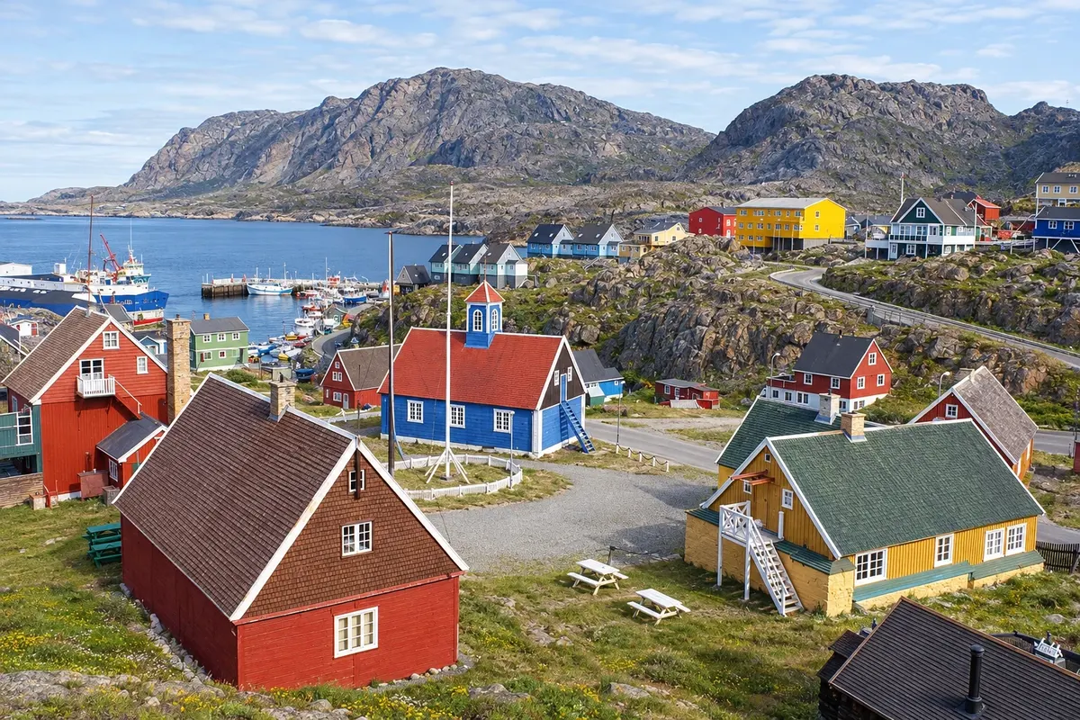
A port town about 50 km above the Arctic Circle, with colourful houses on the slopes and a colonial neighbourhood where the museum and Bethel Church are located. Mount Nasaasaaq closes the view to the east. This is the end of the Arctic Circle Trail, and in winter sled dogs return to pull sleds on the trails around town.
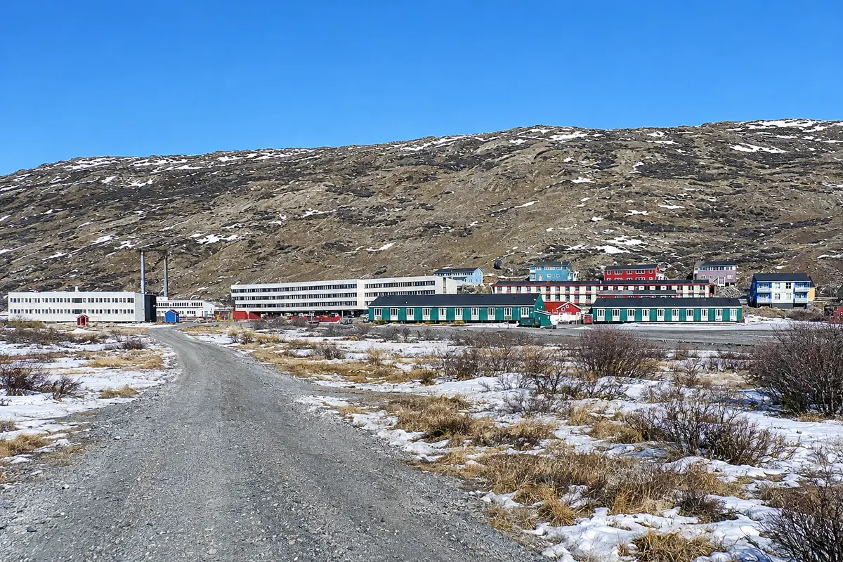
A settlement of a few hundred people at the head of the long Kangerlussuaq fjord, formed around a former U.S. airbase. It has the country’s driest and most stable climate and is the easiest place to reach the ice cap by road, along a dirt track to Point 660. The surrounding tundra has muskoxen and reindeer, and the Arctic Circle Trail begins here.
From June to August the tundra is snow-free, the road to the ice edge is usually open, and the Arctic Circle Trail is typically hiked from mid-June to mid-September. Kangerlussuaq has a dry climate with less precipitation than the coast. In autumn the tundra gains color, and from September to March the aurora borealis appears frequently when the sky is clear. From February to April is dogsled season in Sisimiut.
Kangerlussuaq Airport (SFJ) receives flights from Nuuk and other towns in the country and, for part of the year, direct flights from Copenhagen. Sisimiut (JHS) and Maniitsoq (JSU) have small airports with flights to Nuuk and Kangerlussuaq. There is no road between Kangerlussuaq and Sisimiut: travel is by plane or, on foot, via the Arctic Circle Trail. There are no roads connecting the towns. Confirm routes before booking.
Your questions
Local operators run excursions in adapted vehicles along the gravel road to Point 660 at the ice edge, where you can walk on the ice with a guide. Tours run mainly in summer; in winter access depends on snow conditions. Book before you go.
Most people hike the trail between Kangerlussuaq and Sisimiut in one to two weeks. There are no shops or services en route, only simple huts, so you must carry food and equipment for the entire trip. Plan the trip in advance and leave your itinerary with someone.
It is the Arctic Circle UNESCO World Heritage site, inscribed in 2018: a strip of land between the ice sheet and the sea used by Inuit and earlier peoples to hunt reindeer inland and marine animals on the coast. It comprises seven areas with remains of camps, traps and settlements.
Part of the year, yes: there are direct flights between Copenhagen and Kangerlussuaq, in a season that usually runs from late winter to autumn. At other times you reach it via Nuuk with a domestic flight. Confirm dates before booking.
Two or three days let you visit the museum and the old town, hike one of the surrounding mountains and take a boat trip along the coast. In winter, add an extra day for a dogsled excursion.