1 city

 Search
 Brazil
 Antarctica
 Argentina
 Bolivia
 Chile
 Colombia
 Ecuador
 Guyana
 French Guiana
 Falkland Islands (Malvinas)
 Paraguay
 Peru
 Suriname
 Uruguay
 Venezuela
 Germany
 Austria
 Belgium
 Croatia
 Denmark
 Slovakia
 Slovenia
 Spain
 Finland
 France
 Greece
 the Netherlands
 Hungary
 Ireland
 Iceland
 Italy
 Luxembourg
 Norway
 Poland
 Portugal
 the United Kingdom
 the Czech Republic
 Sweden
 Switzerland
 Turkey
 Bermuda
 Canada
 the United StatesGreenland
 Mexico
 the Dominican RepublicTurkey
 South Africa
 Egypt
 Australia
 Fiji
 New Zealand
 Papua New Guinea
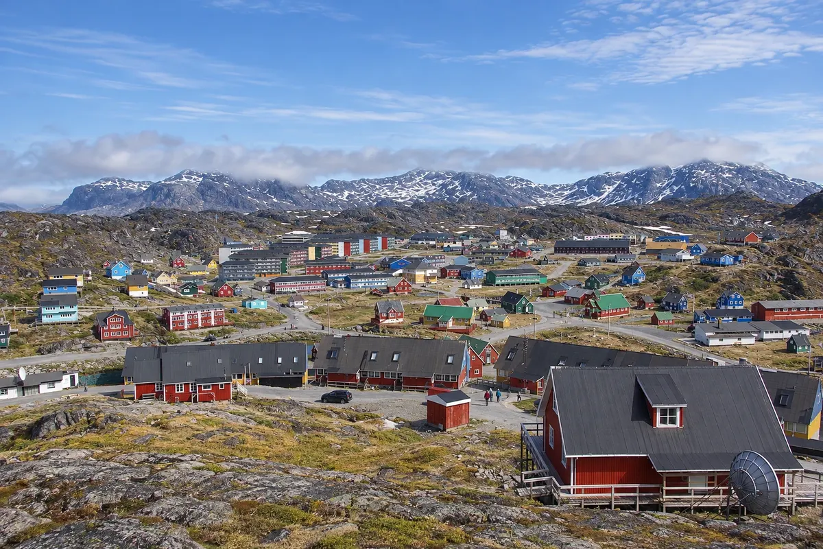
Municipality · Nuuk and East Greenland
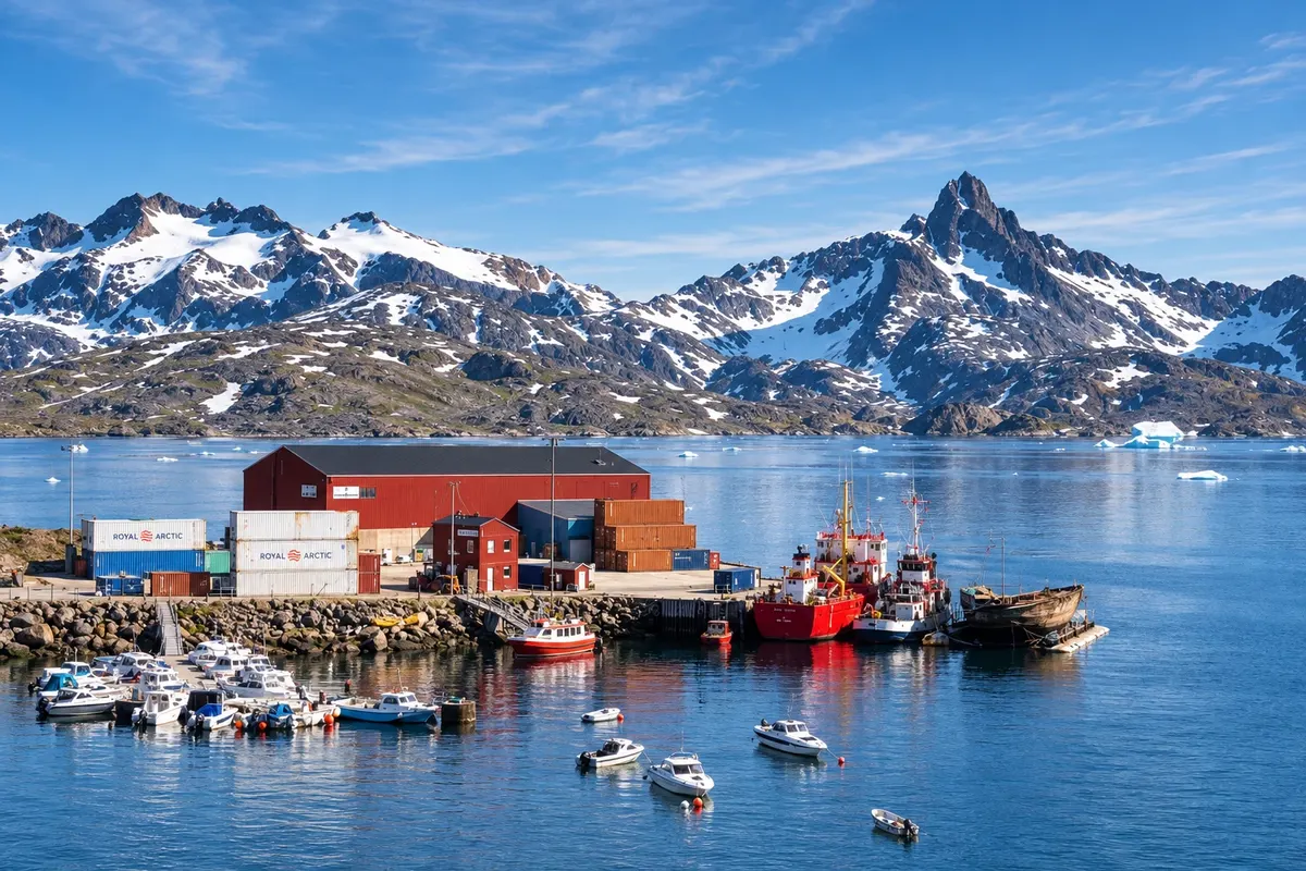
Nuuk, the capital, and the Nuup Kangerlua fjord; on the east coast, Tasiilaq, Kulusuk and Ittoqqortoormiit, at the entrance to Scoresby Sund.
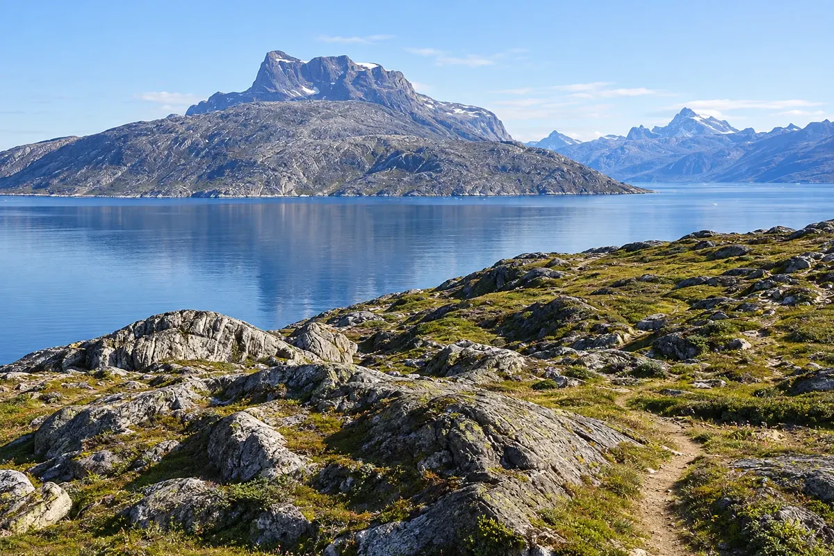
In the photo: Paamiut and the rocky slopes of the west coast of Sermersooq.
Illustrative images. The pictures in this guide are illustrations based on the real place, not photographs, and may differ from it.
The municipality
Sermersooq, “place of much ice” in Greenlandic, is the municipality that contains Nuuk, the capital of Greenland, and it stretches across both coasts of the country: the southwest, around Nuuk and Paamiut, and the east, from Tasiilaq to Ittoqqortoormiit. The two parts are separated by the ice cap and connected only by airplane.
Nuuk (Godthåb in Danish) sits at the mouth of the Nuup Kangerlua fjord, facing the 1,210-meter mountain Sermitsiaq. Beside the colonial harbor are Hans Egede’s house, built in 1721 and the oldest building in the country, the red wooden Lutheran cathedral, and the Greenland National Museum, which holds the Qilakitsoq mummies. The Katuaq cultural center, with its undulating facade, hosts concerts, film and exhibitions.
The Nuuk fjord branches among islands and mountains down to glaciers that descend from the ice cap, and it is navigated by boat to settlements such as Kapisillit. In summer, humpback whales often appear near the city.
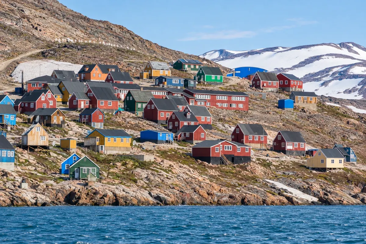
On the east coast live the tunumiit, with their own dialect and traditions, such as drum dancing and bone and wood carving. Tasiilaq, the largest town on the east coast, lies in a fjord surrounded by mountains, with the Vale of the Flowers just behind the houses and a museum in the old church. Kulusuk, on a nearby island, has the region’s airport and a settlement of colorful houses on the rocks.
Farther north, Ittoqqortoormiit sits at the entrance of Scoresby Sund (Kangertittivaq), the largest fjord system in the world, surrounded by mountains and icebergs. It is the last town before Northeast Greenland National Park, which only admits expeditions with a permit.
Destinations
Cities
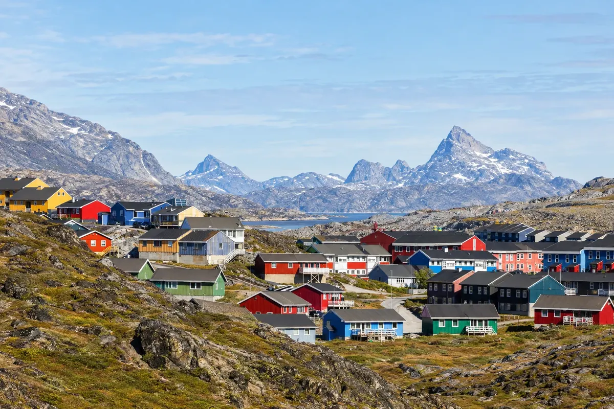
The country’s capital occupies a rocky peninsula at the mouth of the large fjord, with Sermitsiaq on the other side of the water. It mixes the colonial harbor, with Hans Egede’s house, the cathedral and the National Museum, with modern buildings such as the Katuaq cultural center. It is the base for boat trips on the fjord and for flights to the rest of the country.
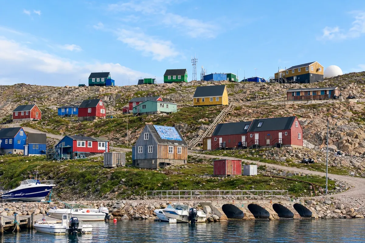
One of Greenland’s most isolated settlements, with about 350 residents, on the edge of the vast Scoresby Sund. Founded in 1925, it survives on hunting and fishing, with colorful houses on a slope above the sea. To the north begins the large protected northeastern area, and the settlement is the base for boat and kayak trips into the fjord.
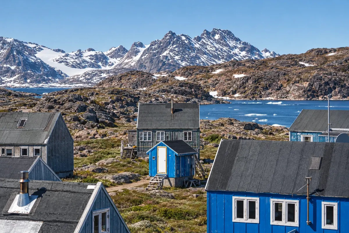
A settlement of about 200 residents on an island off the east coast, with colourful houses on the rocks, a 1908 church built from shipwreck timber and the tradition of drum dancing. It has the region’s airport, two hours’ flight from Reykjavík, and is the gateway to Tasiilaq and the fjords full of icebergs in the east.
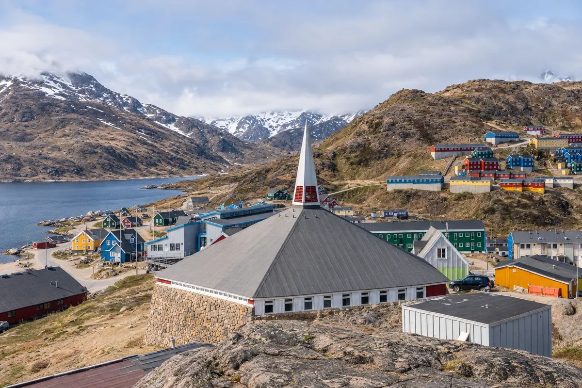
The largest town on Greenland’s east coast, with about 1,800 inhabitants, in a natural harbor on the island of Ammassalik, surrounded by mountains. Founded in 1894 as a trading post, it has the museum in the old church, the Valley of Flowers a few steps from the center, and serves as a base for the Sermilik fjord icebergs and for Tunumiit culture.
In Nuuk, summer—June through August—brings long days, boats on the fjord and hikes in the mountains, and it is the season when humpback whales commonly appear. On the east coast, the sea is usually free enough for boats from July to September; for the rest of the year, flights and helicopters are the way to travel. Winter is long and dark, with northern lights from September to March when the sky is clear, and on the east the dog sleds set out at late winter and in spring.
Nuuk Airport (GOH) is the country’s main airport, with year-round direct flights from Copenhagen, flights from Iceland and, in summer, from Newark in the United States, as well as connections to other towns. On the east coast, Kulusuk Airport (KUS) receives flights from Nuuk and Iceland, and helicopters and boats link Kulusuk to Tasiilaq. Ittoqqortoormiit is reached by helicopter from Nerlerit Inaat Airport (CNP), which receives flights from Iceland. There are no roads between the towns. Confirm routes before booking.
Your questions
Two or three days allow you to see the colonial harbor, the cathedral, Hans Egede’s house and the National Museum, walk through the neighborhoods and take a boat trip on the fjord. With one or two more days, you can do a long excursion to the head of the fjord or climb one of the mountains surrounding the city.
The museum in Nuuk tells the country’s story from the earliest peoples to the colonial era, with kayaks, sleds, fur clothing and art. The best-known exhibit is the Qilakitsoq mummies, found near Uummannaq and about 500 years old.
By plane, from Nuuk to Kulusuk Airport, and from there by helicopter or boat to Tasiilaq. There are also flights from Iceland direct to Kulusuk and to Nerlerit Inaat, near Ittoqqortoormiit. There is no road or regular boat service between the two coasts.
It is the largest fjord system in the world, on the east coast, with arms that reach hundreds of kilometers between mountains and glaciers. The town of Ittoqqortoormiit sits at its entrance. Boat tours and expeditions operate mainly at late summer, when the sea ice retreats.