



Ice cap
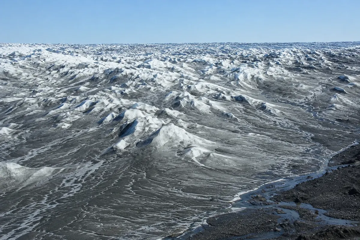
Point 660 Ice Sheet
The point at the ice-cap edge, about 35 km from Kangerlussuaq, where the dirt road from the settlement ends. From there you walk with a guide onto the ice cap.

 Search
 Brazil
 Antarctica
 Argentina
 Bolivia
 Chile
 Colombia
 Ecuador
 Guyana
 French Guiana
 Falkland Islands (Malvinas)
 Paraguay
 Peru
 Suriname
 Uruguay
 Venezuela
 Germany
 Austria
 Belgium
 Croatia
 Denmark
 Slovakia
 Slovenia
 Spain
 Finland
 France
 Greece
 the Netherlands
 Hungary
 Ireland
 Iceland
 Italy
 Luxembourg
 Norway
 Poland
 Portugal
 the United Kingdom
 the Czech Republic
 Sweden
 Switzerland
 Turkey
 Bermuda
 Canada
 the United StatesGreenland
 Mexico
 the Dominican RepublicTurkey
 South Africa
 Egypt
 Australia
 Fiji
 New Zealand
 Papua New Guinea
Qeqqata · Greenland
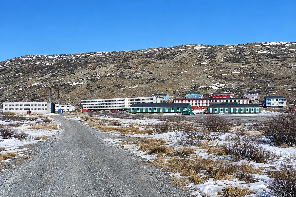
In the destination Kangerlussuaq and the ice cap.
In the photo: The village of Kangerlussuaq, between low buildings and tundra hills.
Illustrative images. The pictures in this guide are illustrations based on the real place, not photographs, and may differ from it.
The city
A settlement of a few hundred people at the head of the long Kangerlussuaq fjord, formed around a former U.S. airbase. It has the country’s driest and most stable climate and is the easiest place to reach the ice cap by road, along a dirt track to Point 660. The surrounding tundra has muskoxen and reindeer, and the Arctic Circle Trail begins here.
There's no accommodation in the guide yet in Kangerlussuaq.
There are no restaurants in the guide yet in Kangerlussuaq.
Know a good one? Recommend it to ushow to get there · how many days · itinerary · questions
The local experience
The point at the ice-cap edge, about 35 km from Kangerlussuaq, where the dirt road from the settlement ends. From there you walk with a guide onto the ice cap.
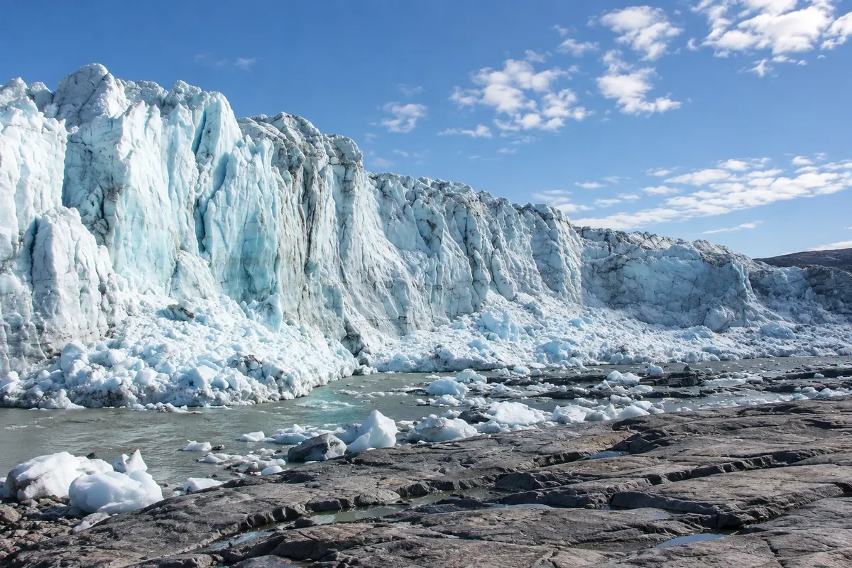
A tongue of ice that descends from the ice cap down to the tundra east of Kangerlussuaq, with a front tens of meters high. It lies along the road toward Point 660.
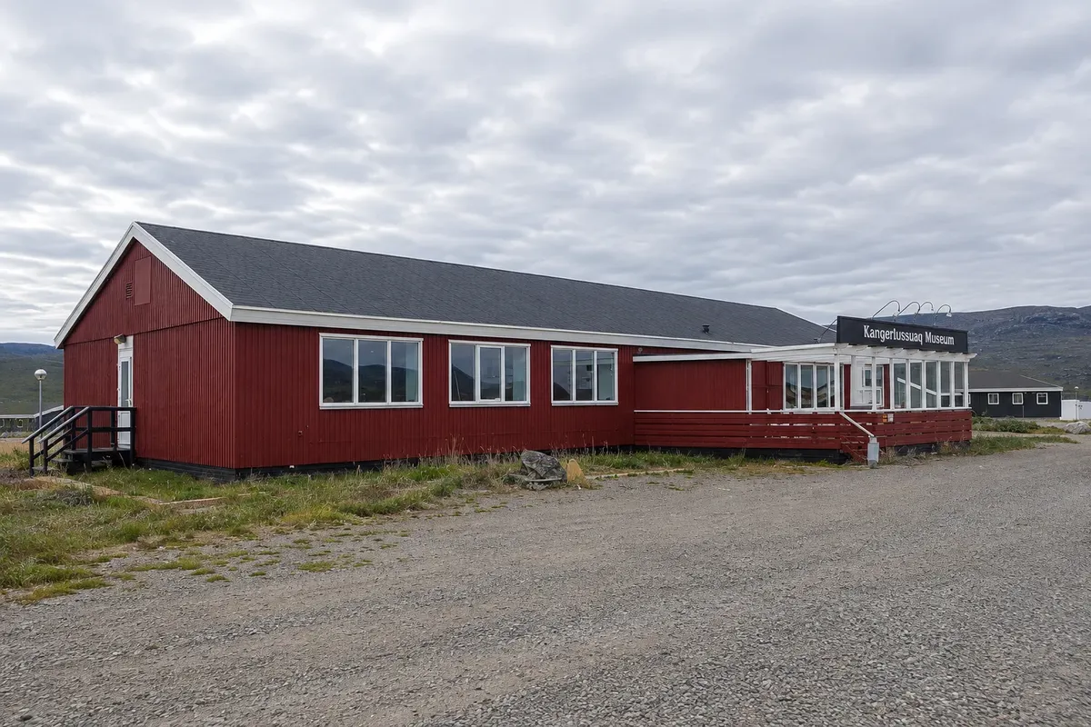
Small museum next to the airport that tells the history of the former American air base, opened in 1941, and of the settlement that grew around it.
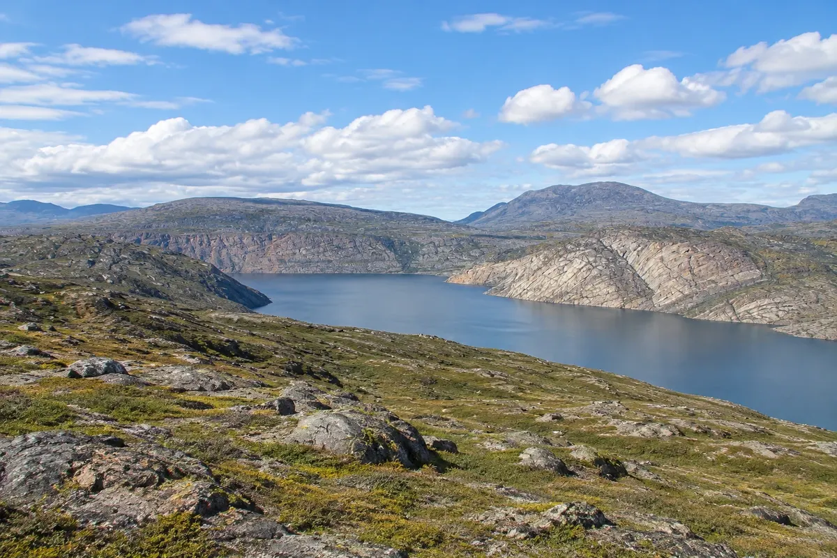
Long-distance trail between Kangerlussuaq and Sisimiut, covering more than 150 km across tundra, lakes and valleys north of the Arctic Circle, usually completed in one to two weeks.