

Kangerlussuaq and the ice cap

Qeqqata · Greenland

Kangerlussuaq and the ice cap

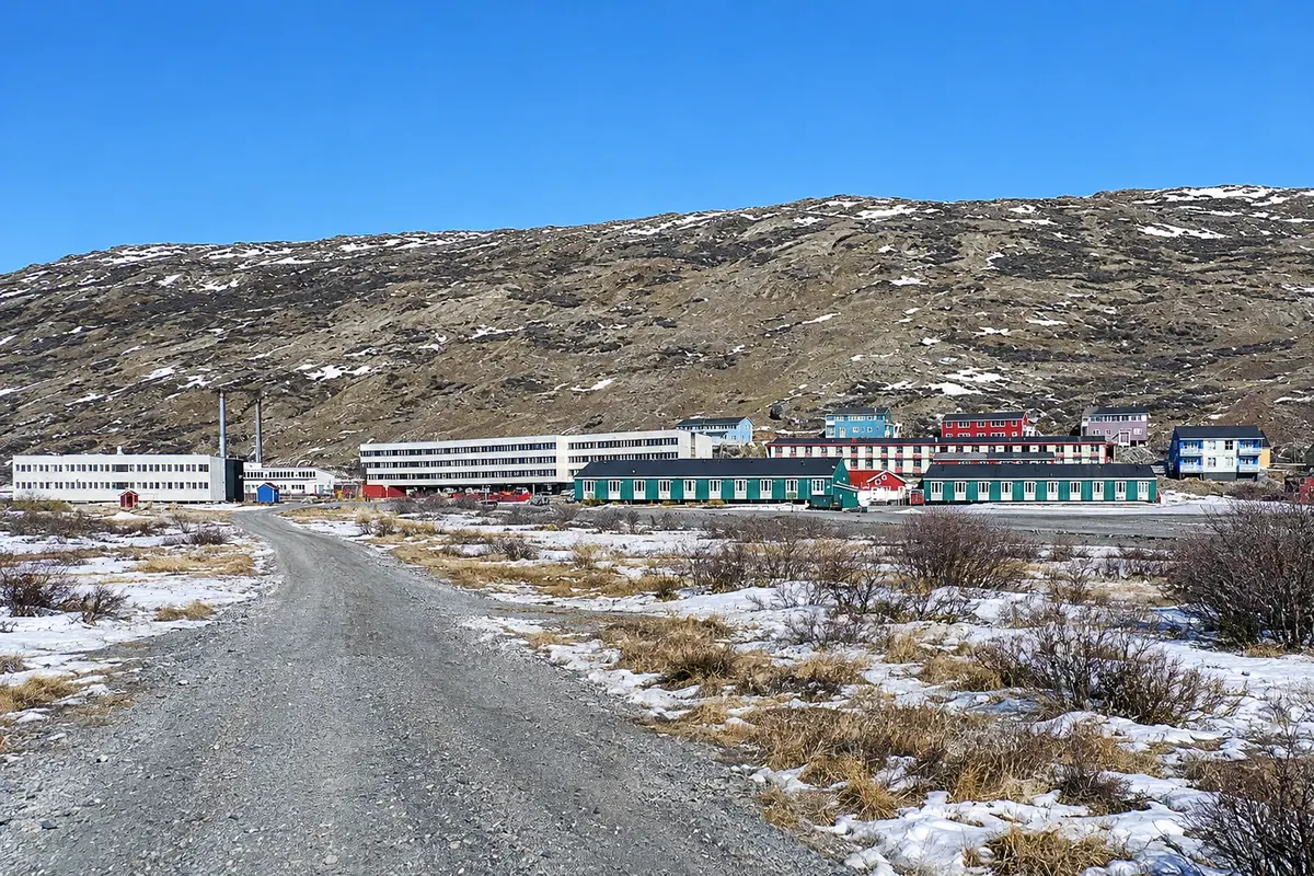
The settlement of the former airbase, at the head of a fjord over 100 km long, where a dirt road leads to the edge of the ice cap and to the Russell Glacier.

Arctic Circle

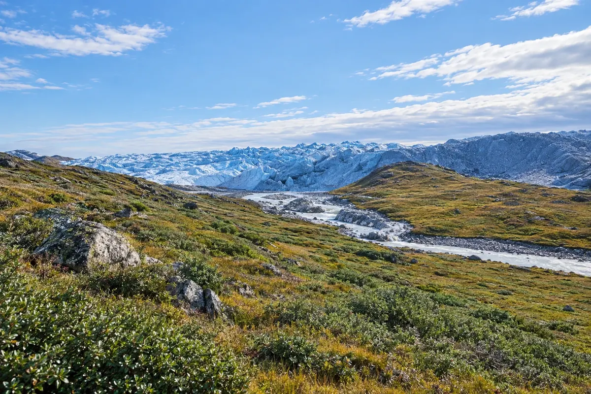
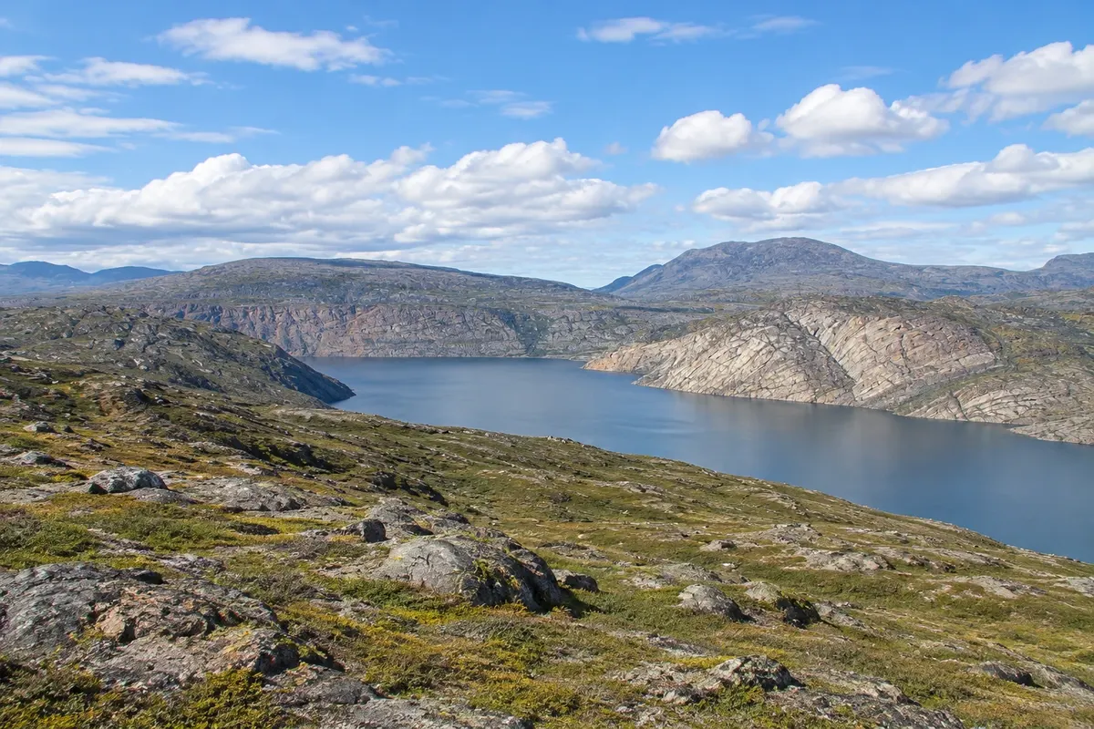
In the photo: Tundra and meltwater near the edge of the ice cap, close to Kangerlussuaq.

Illustrative images. The pictures in this guide are illustrations based on the real place, not photographs, and may differ from it.

Get to know the place

A region to enjoy
at your own pace.

Kangerlussuaq lies inland on Greenland’s west coast, just north of the Arctic Circle, at the head of a long narrow fjord. The name means “the big fjord” in Greenlandic. It began as a U.S. airbase in 1941 and for decades was the country’s main international gateway.

The settlement is small, made up largely of former military buildings, but the surroundings are the main attraction: the ice cap is only a few dozen kilometers away, and a rare dirt road in Greenland runs to Point 660 at the ice edge and to the Russell Glacier.

The climate is dry and more stable than on the coast, with clear summers and cold winters. The surrounding tundra has lakes, moraines and valleys where muskoxen and reindeer graze, and forms part of the Inuit hunting landscape protected by UNESCO at the Aasivissuit–Nipisat site.

The Arctic Circle Trail starts here, the long-distance trek that crosses the tundra to Sisimiut on the coast.

This destination brings together 1 city: Kangerlussuaq.

Share: WhatsApp
Traveler, share your experiences through photos Up to 5 photos of each place you visited.

One destination, many paths

The cities on this trip

Start with one city or combine several in your itinerary.

Where Kangerlussuaq and the ice cap is
Kangerlussuaq

Dados cartográficos: © OpenStreetMap contributors (ODbL 1.0); contorno terrestre: Natural Earth (public domain). Adapted by Cidade Turismo.

How to get there: Kangerlussuaq and the ice cap

✈ Kangerlussuaq Mittarfia (SFJ) · 1 km to Kangerlussuaq

There are flights to several towns on the west coast and, in some seasons, direct flights from Denmark. There is no road to the coast. Confirm routes before buying tickets.

The local experience

Things to do in Kangerlussuaq and the ice cap

Point 660 Ice Sheet
Kangerlussuaq · Qeqqata · Ice cap

Point 660 Ice Sheet

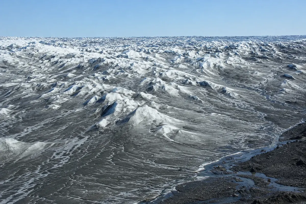
The point at the ice-cap edge, about 35 km from Kangerlussuaq, where the dirt road from the settlement ends. From there you walk with a guide onto the ice cap.

Russell Glacier
Kangerlussuaq · Qeqqata · Glacier

Russell Glacier

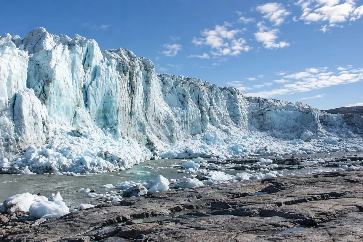
A tongue of ice that descends from the ice cap down to the tundra east of Kangerlussuaq, with a front tens of meters high. It lies along the road toward Point 660.

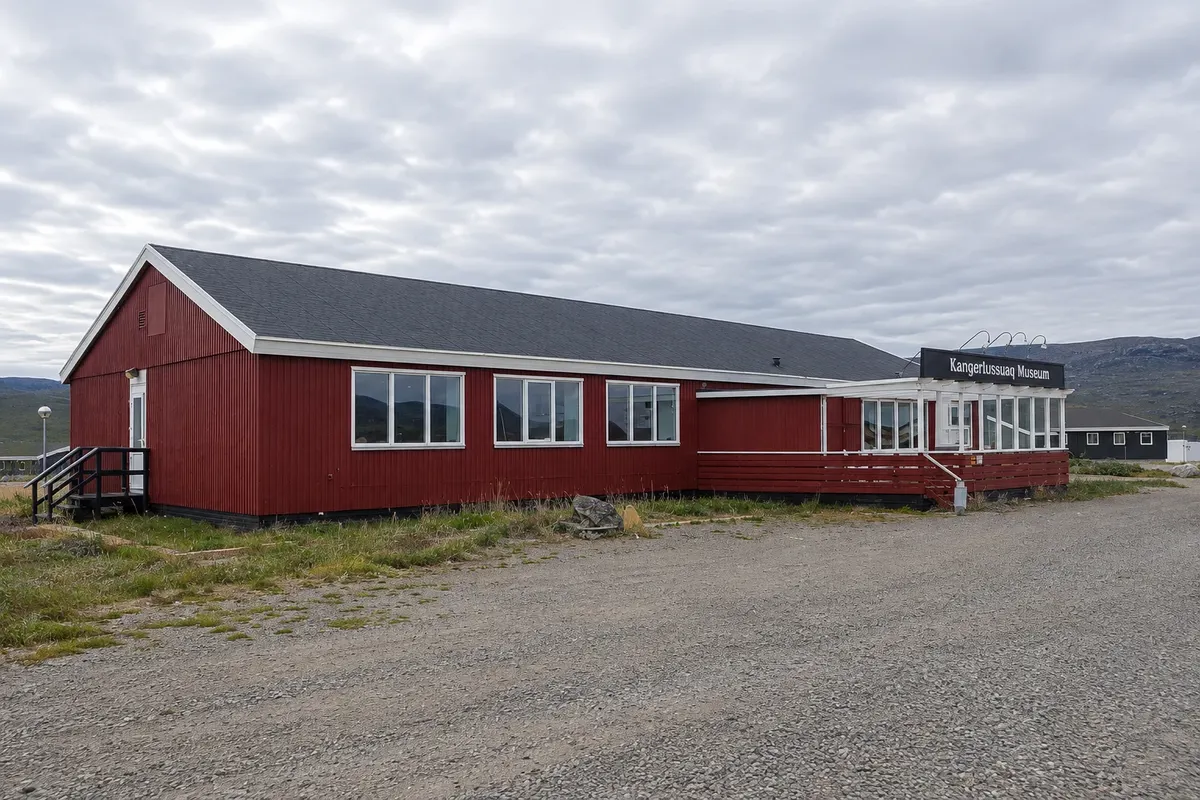
Kangerlussuaq Museum
Kangerlussuaq · Qeqqata · Museum

Kangerlussuaq Museum

Small museum next to the airport that tells the history of the former American air base, opened in 1941, and of the settlement that grew around it.

Arctic Circle Trail
Kangerlussuaq · Qeqqata · Trail

Arctic Circle Trail

Long-distance trail between Kangerlussuaq and Sisimiut, covering more than 150 km across tundra, lakes and valleys north of the Arctic Circle, usually completed in one to two weeks.

Before you go

Practical information

A little planning leaves more time to enjoy the journey.

When to go

From June to September, with long days, for the ice and the tundra. Winter, with its dry air, favors auroras on dark nights and snowmobile and sled trips.

The seasons shown are the most usual ones; nature doesn't always follow the calendar.

How many days to stay

Two days, with the ice excursion on one of them. Walking the cross-country route to Sisimiut requires one to two additional weeks.

Which city to stay in

The settlement is small and clustered around the airport, where the accommodations, the shop and the departure points for tours are located. To sleep closer to the ice, there are camps and cabins on the ice edge offered on organized tours.

Respect the place

Take your trash with you, follow the signs and support local businesses. In natural areas, follow the visiting guidelines.

Get your questions answered

Frequently asked questions about Kangerlussuaq and the ice cap

What to do in Kangerlussuaq?

Go to the ice cap at Point 660, see the Russell Glacier, take tundra trips to view muskoxen and start the Arctic Circle Trail.

Is Kangerlussuaq worth a stop on the trip?

Yes, for those who want to set foot on the ice cap: it’s the easiest place to do that overland, on half-day tours.

Can you travel from Kangerlussuaq to Sisimiut by land?

Only on foot, via the Arctic Circle Trail. Those not hiking the trail take the short flight between the two towns.

When is the best time to go to Kangerlussuaq?

From early summer to early autumn for the ice and hiking; on the long winter nights for auroras and snow activities.

Explore other destinations Search by state and city