

 Brazil
 Argentina
 Bolivia
 Chile
 Colombia
 Ecuador
 Guyana
 French Guiana
 Falkland Islands (Malvinas)
 Paraguay
 Peru
 Suriname
 Uruguay
 Venezuela
 Germany
 Austria
 Belgium
 Croatia
 Denmark
 Slovakia
 Spain
 Finland
 France
 Greece
 the Netherlands
 Hungary
 Ireland
 Iceland
 Italy
 Luxembourg
 Norway
 Poland
 Portugal
 the United Kingdom
 the Czech Republic
 Sweden
 Switzerland
 Turkey
 Canada
 the United States
 Mexico
 the Dominican Republic
 South Africa
 Australia
 Fiji
 New Zealand
 Papua New Guinea
Region · Ljubljana and Central Slovenia
Zasavska
The Sava valley between mountains, the old mining towns of Trbovlje, Hrastnik and Zagorje, Mount Kum and the geographic center of the country.
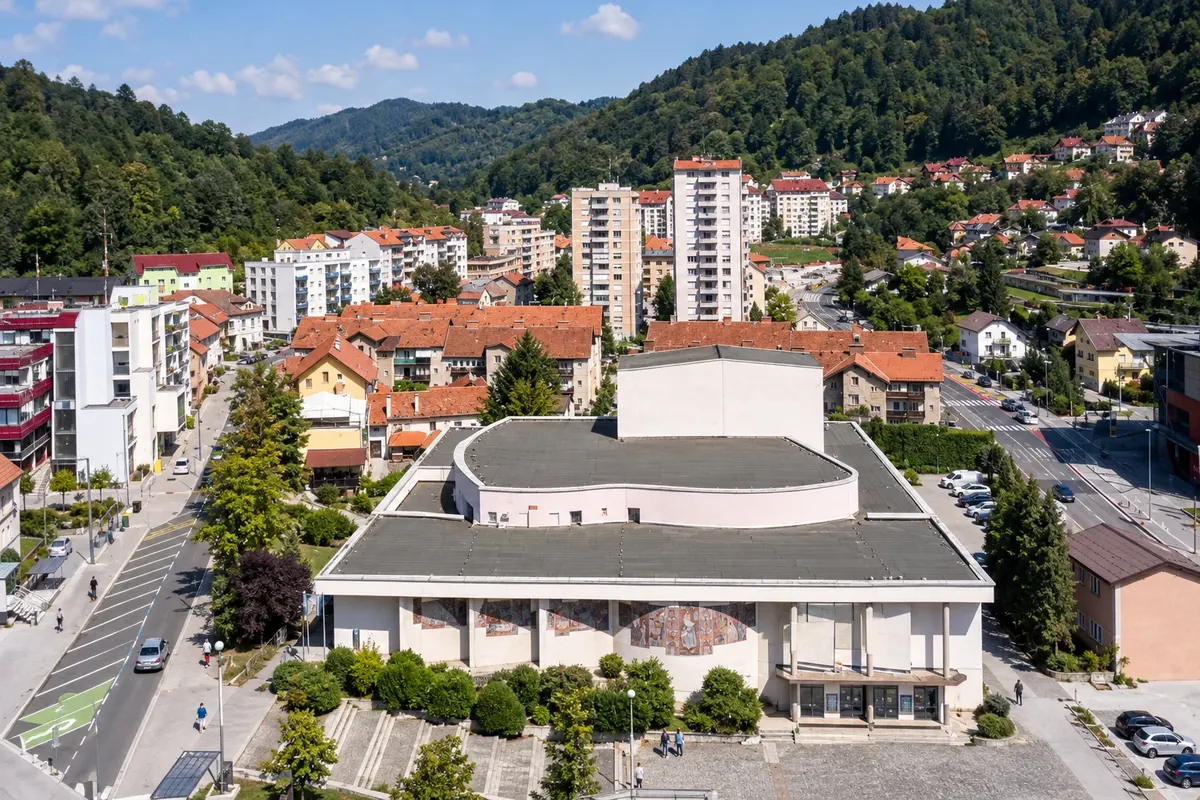
In the photo: Delavski dom, in Trbovlje.
Illustrative images. The pictures in this guide are illustrations based on the real place, not photographs, and may differ from it.

The region
Get to know Zasavska
Zasavska is the smallest of Slovenia’s twelve statistical regions. It occupies the stretch where the Sava River cuts through the hills east of Ljubljana, in a narrow valley, and includes the towns of Litija, Zagorje ob Savi, Trbovlje and Hrastnik. The railway line and the road run alongside the river from one end to the other.
For more than a century the valley’s economy was based on coal mining, glassmaking and energy production. In Trbovlje the chimney of the former thermal power plant, at 360 meters, is the tallest in Europe and can be seen from afar. The old workers’ quarters, miners’ housing and Hrastnik’s glassworks tell that story, which local museums preserve.
Above the valley, the hills offer trails and viewpoints. Kum, at about 1,220 meters, is the region’s highest point, nicknamed the Triglav of Zasavje, and there is a church and a mountain hut at the summit. Near Vače, in the municipality of Litija, a marker indicates GEOSS, the geographic center of Slovenia. It was in Vače that the Vače situla was found, a Bronze Age vessel now kept at the National Museum in Ljubljana.
Litija, to the west, has the pace of a small town, with old churches, trails along the Sava and rides for cyclists. The region is commonly visited on day trips from Ljubljana.
When to go
Kum and the hills are usually snow-free from May to October, the period for hiking and cycling along the Sava. In early autumn the forests change color and days become cooler. In winter the valley is cold and often foggy, and higher areas can receive snow.
Getting there
The railway from Ljubljana to Zidani Most and Maribor follows the Sava and stops at Litija, Zagorje ob Savi, Trbovlje and Hrastnik, a trip of less than an hour from the capital. There are also regional buses. By car the main road runs through the valley; the A1 motorway passes to the north, via Trojane.
Your questions
Frequently asked questions about Zasavska
What to see in the Zasavje region?
Trbovlje’s 360-meter chimney, the old miners’ neighborhoods and Hrastnik’s glassworks, the trails and viewpoint on Mount Kum, and GEOSS, the marker for Slovenia’s geographic center near Vače. Walks along the Sava, on foot or by bicycle, complete the visit.
Where is Slovenia’s geographic center?
Near the village of Vače, in the municipality of Litija, where a stone marker called GEOSS indicates the point. The site is in the hills north of the Sava, within driving distance of Ljubljana, and has trails in the surrounding area.
How to climb Mount Kum?
There are waymarked trails from the surrounding villages, and a road that reaches close to the summit. At the top there is a church and a mountain hut, and the view reaches the Alps and the Sava valley. In winter there may be snow: check the forecast before you set out.
Can you visit Zasavje on a day trip from Ljubljana?
Yes. The towns in the valley are less than an hour by train from the capital on the line to Zidani Most. For Mount Kum and Vače, which lie off the rail line, a car makes the visit easier.