

 Antarctica
 Argentina
 Bolivia
 Chile
 Colombia
 Ecuador
 Guyana
 French Guiana
 Falkland Islands (Malvinas)
 Paraguay
 Peru
 Suriname
 Uruguay
 Venezuela
 Germany
 Austria
 Belgium
 Croatia
 Denmark
 Slovakia
 Slovenia
 Spain
 Finland
 France
 Greece
 the Netherlands
 Hungary
 Ireland
 Iceland
 Italy
 Luxembourg
 Norway
 Poland
 Portugal
 the United Kingdom
 the Czech Republic
 Sweden
 Switzerland
 Turkey
 Bermuda
 Canada
 the United States
 Greenland
 Mexico
 Saint Pierre and Miquelon
 the Dominican Republic
 Japan
 South Africa
 Egypt
 Australia
 Fiji
 New Zealand
 Papua New Guinea
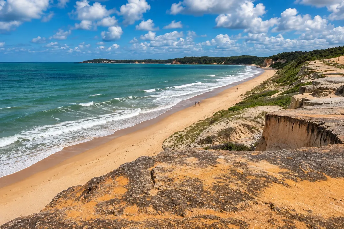
beach · Tibau do Sul, RN
Cacimbinhas Beach
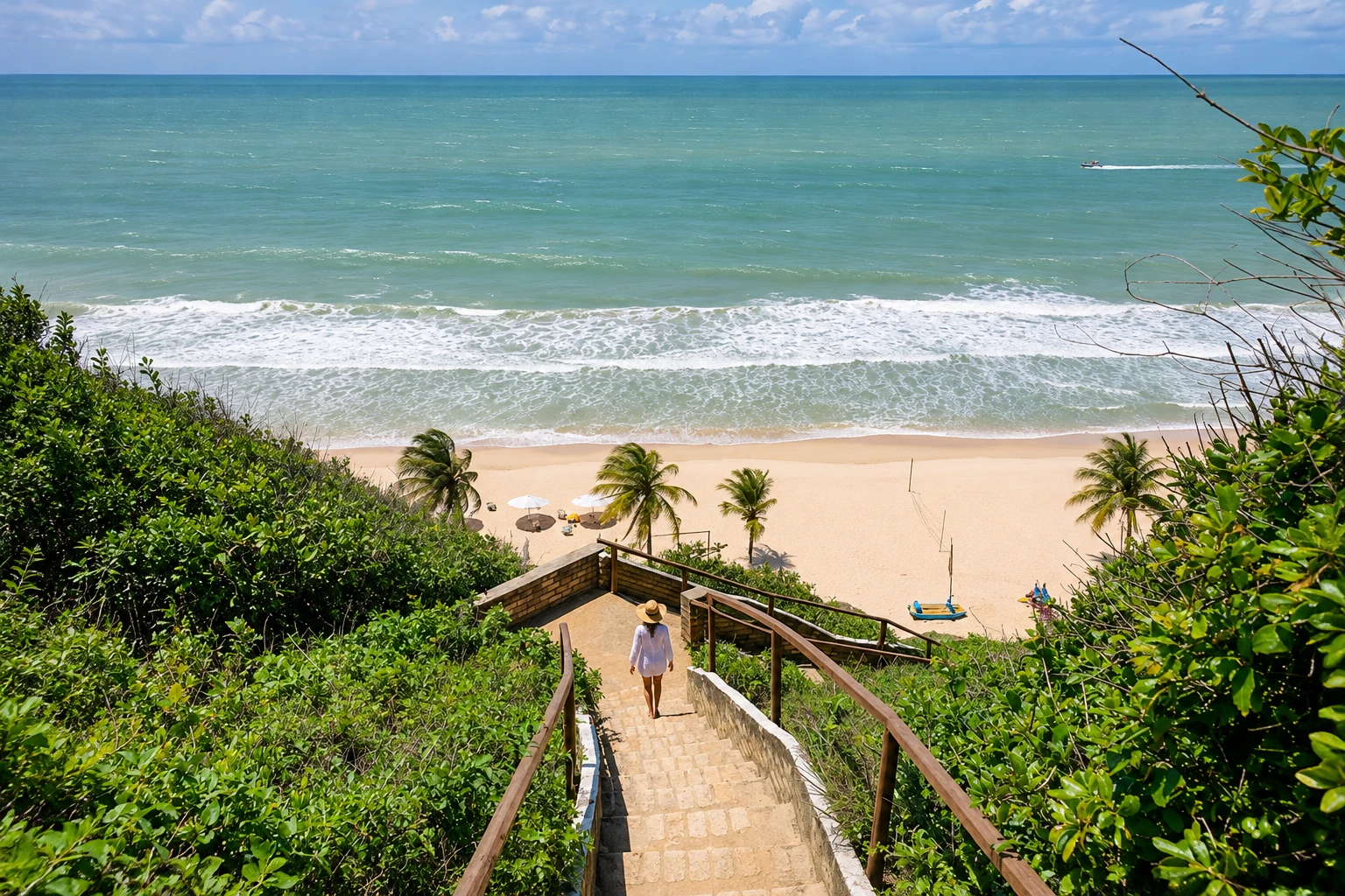
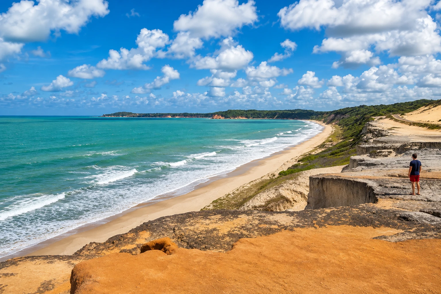
Long beach between Tibau do Sul and Pipa, at the foot of colorful cliffs and dunes, with access by stairs. The sea usually has more waves than in Pipa’s coves, and from the top of the cliffs a lookout shows the whole cliff face.
In the photo: Cliffs and the curve of Cacimbinhas Beach seen from above.
Illustrative images. The pictures in this guide are illustrations based on the real place, not photographs, and may differ from it.


A look at the place
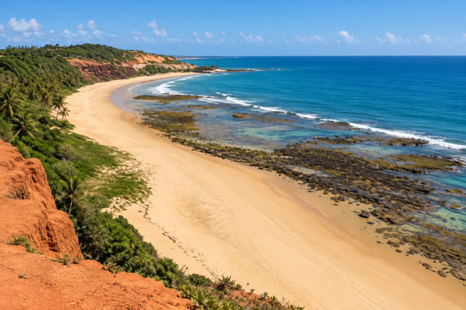
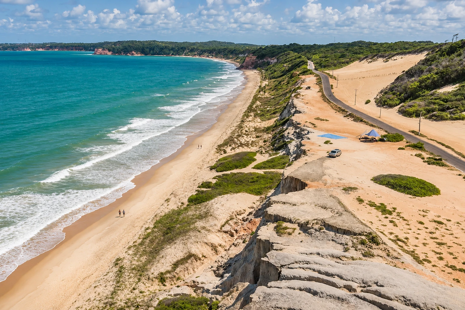
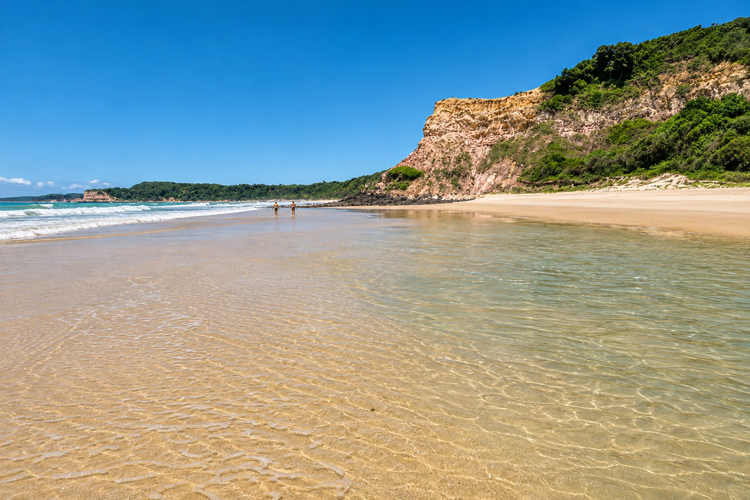
Cacimbinhas Beach in pictures
These pictures are illustrations based on the real place, not photographs. They may differ from the place.
Click the picture to enlarge it.
Discover
About Cacimbinhas Beach
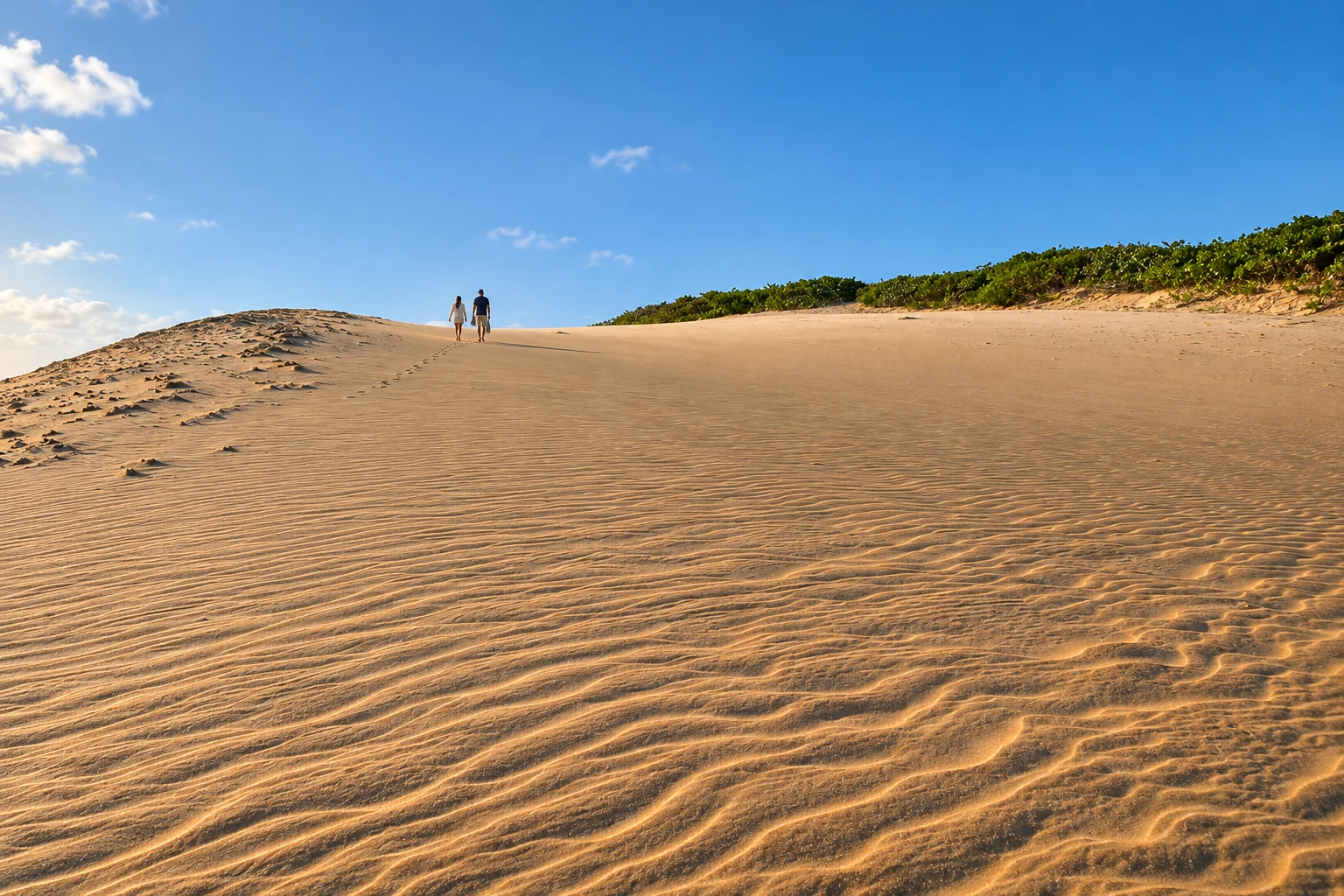
Cacimbinhas Beach lies between the town center of Tibau do Sul and the village of Pipa, at the base of a cliff face made of sand and clay. Above, the cliffs join dunes and the low coastal vegetation. It is one of the municipality’s longest beaches, with a stretch of sand that extends for a few kilometers.
Access to the sand is by stairs from the top of the cliff, and up there is a viewpoint from which you can see the entire cliff face and the curve of the beach. Seeing the cliffs from above, with the open sea below, is one of the reasons people visit.
The sea is more open than in the neighboring coves and usually has more waves than Praia do Madeiro. On calm days you can bathe near the shore; when the wind is strong the beach attracts kitesurfers. There is a single beach stall and little infrastructure beyond it. Between November and March, when the wind is favorable, there are often paragliding launches from the top of the cliff.
The cliffs are part of the Barreiras Formation, made of fragile sediments, and change with erosion. Stay away from the base of the cliff faces on the beach and from the edge at the top, and use only the stairs and marked paths.
Cacimbinhas pairs well with Praia do Madeiro and the Ecological Sanctuary on the Pipa side, and with Tibau do Sul’s center and Lagoa de Guaraíras on the other side, where the sunset over the lagoon draws visitors in the late afternoon.
Before you go
Practical information
Cidade Turismo reviews its information regularly, but something may have changed. Check with the place before planning your trip.
How much time to set aside
From 30 minutes at the viewpoint to half a day at the beach.
Best time
All year, during daylight. Morning and late afternoon give the best light on the cliffs. The driest months, September to February, usually have more sun; at low tide the sand stretch is larger.
How to get there
From Tibau do Sul’s center, follow Rodovia Hélio Galvão (RN-003) toward Pipa for a few kilometers and turn into the access road to Cacimbinhas. From Pipa’s entrance it’s about a 12-minute drive. There are vans and taxis between Pipa and Tibau do Sul.
Tip
Start at the viewpoint on the high ground to see the whole cliff face, and only then descend the stairs. Bring water and sunscreen, because there is little shade and little infrastructure on the sand.
Get your questions answered
Frequently asked questions about Cacimbinhas Beach
Where is Cacimbinhas Beach located?
Between the town center of Tibau do Sul and the village of Pipa, a few kilometers from Tibau do Sul along Rodovia Hélio Galvão (RN-003) and about a 12-minute drive from Pipa’s entrance.
How do you get down to the sand at Cacimbinhas Beach?
By stairs from the top of the cliff. At the top there is a viewpoint with views of the cliff face and the entire beach.
Is the water at Cacimbinhas good for swimming?
The sea is more open and usually has more waves than Praia do Madeiro. On calm days you can bathe near the shore; when it’s windy the beach attracts kitesurfers.
Is there infrastructure at Cacimbinhas Beach?
Little: there is a beach stall on the sand and few services beyond it. Bring water, sunscreen, and a hat, because there’s little shade.
Can you paraglide at Cacimbinhas?
There are paragliding launches from the top of the cliffs, which usually occur between November and March depending on the wind. Confirm in advance with local operators.
Beyond the guide


