

 Antarctica
 Argentina
 Bolivia
 Chile
 Colombia
 Ecuador
 Guyana
 French Guiana
 Falkland Islands (Malvinas)
 Paraguay
 Peru
 Suriname
 Uruguay
 Venezuela
 Germany
 Austria
 Belgium
 Croatia
 Denmark
 Slovakia
 Slovenia
 Spain
 Finland
 France
 Greece
 the Netherlands
 Hungary
 Ireland
 Iceland
 Italy
 Luxembourg
 Norway
 Poland
 Portugal
 the United Kingdom
 the Czech Republic
 Sweden
 Switzerland
 Turkey
 Bermuda
 Canada
 the United States
 Greenland
 Mexico
 Saint Pierre and Miquelon
 the Dominican Republic
 Japan
 South Africa
 Egypt
 Australia
 Fiji
 New Zealand
 Papua New Guinea
Viewpoint · Bombinhas, SC
Morro do Macaco
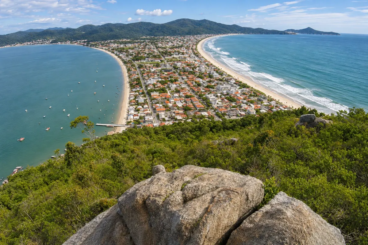
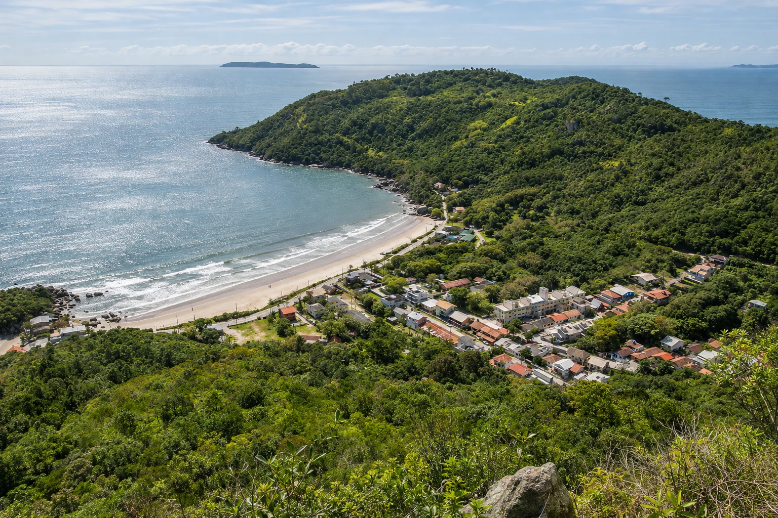
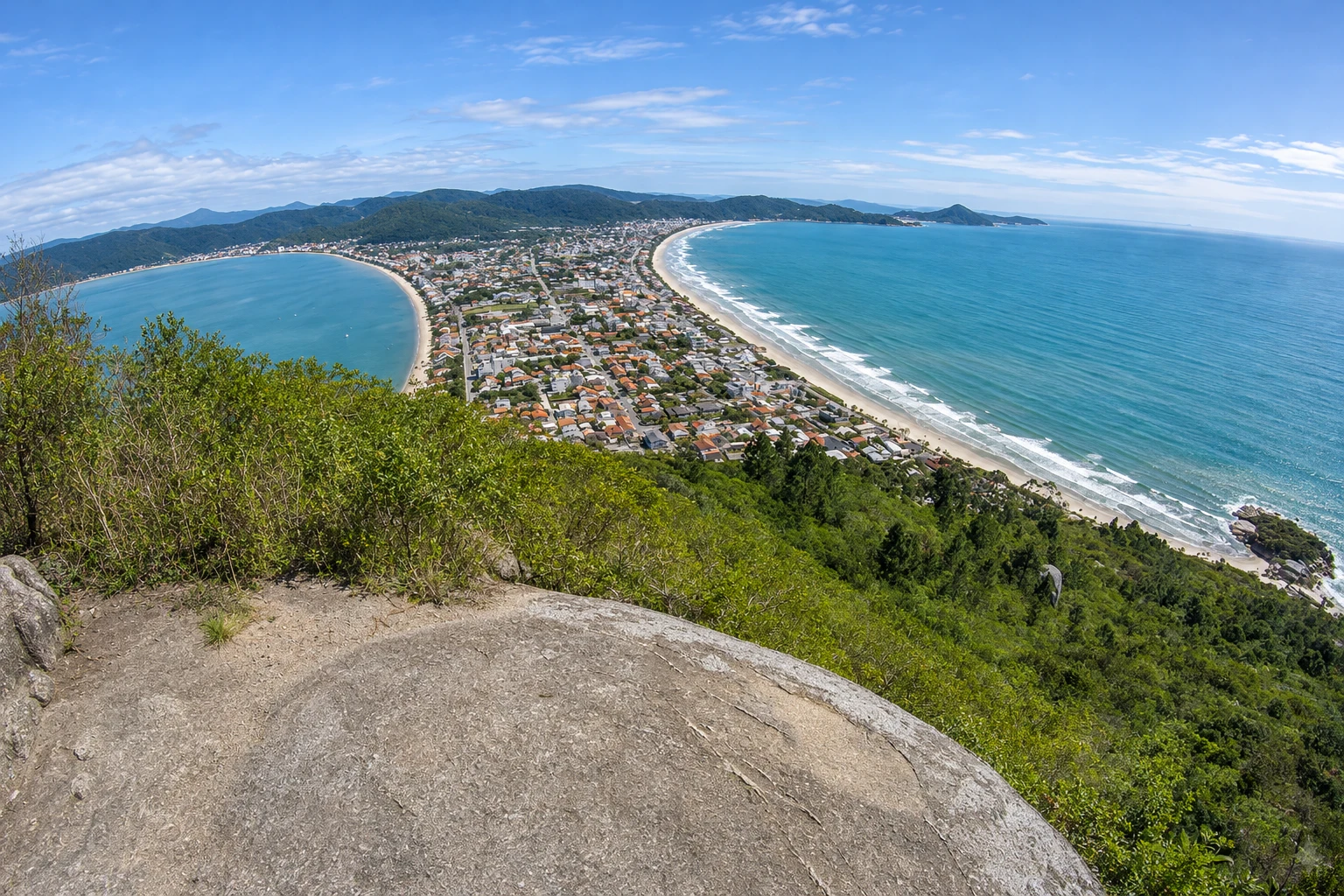
Hill 191 meters high on the southern tip of the Bombinhas peninsula, protected as a municipal natural park. A short trail through the forest, starting from Canto Grande, climbs to the top, where you can see Canto Grande between two seas, Mariscal, Zimbros and the offshore islands.
In the photo: View from Morro do Macaco toward Canto Grande between the inner sea and the outer sea.
Illustrative images. The pictures in this guide are illustrations based on the real place, not photographs, and may differ from it.


A look at the place
Morro do Macaco in pictures
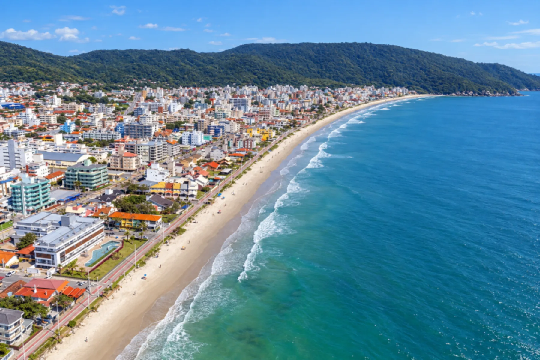
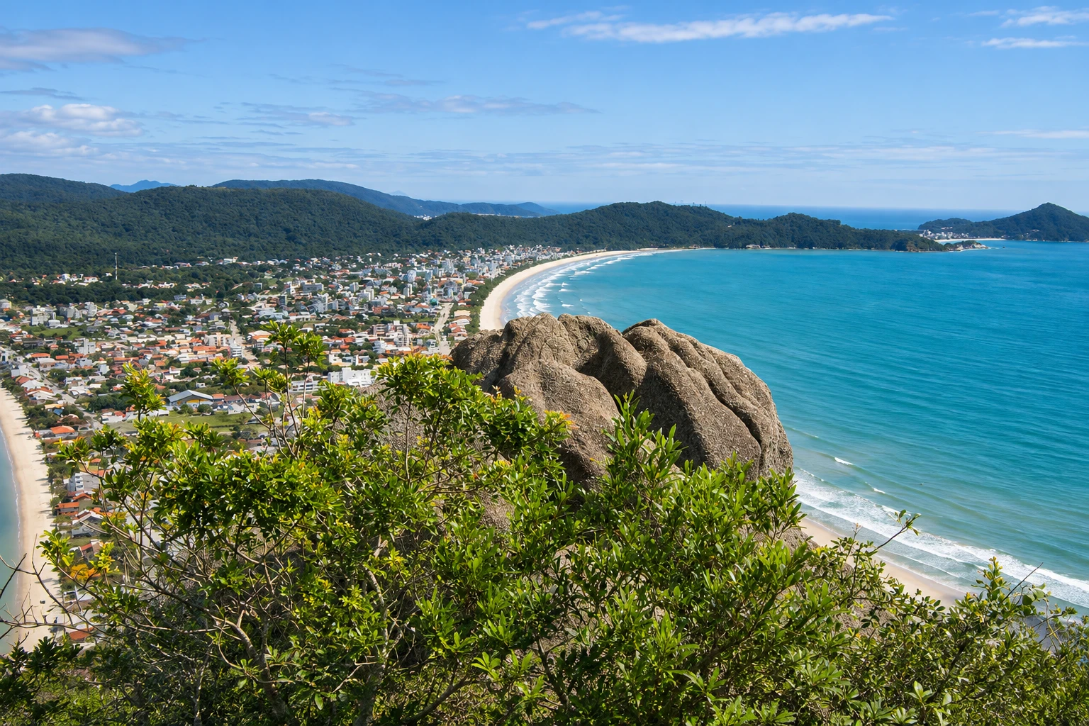
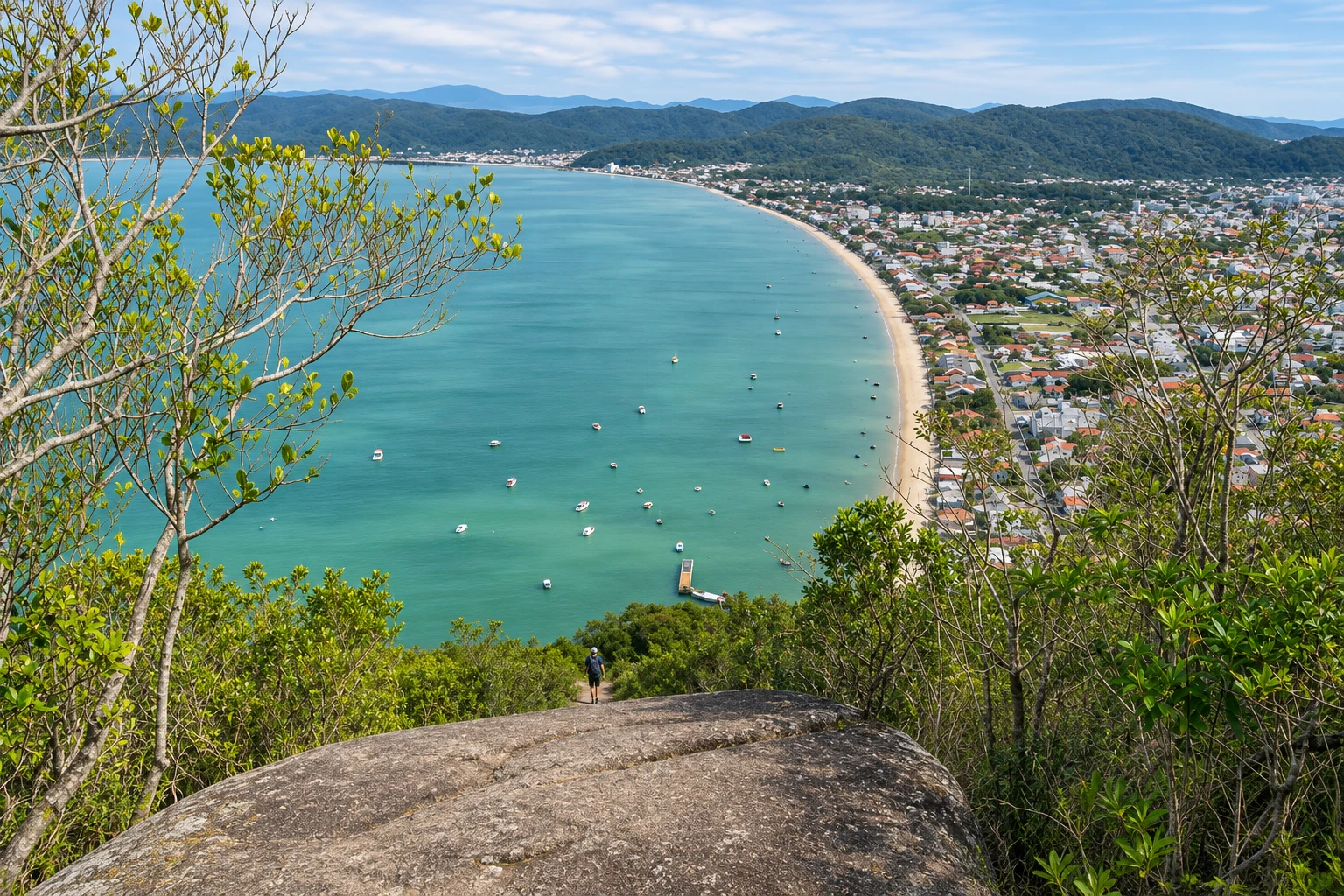
These pictures are illustrations based on the real place, not photographs. They may differ from the place.
Click the picture to enlarge it.
Discover
About Morro do Macaco
Morro do Macaco is the hill that closes the southern end of Canto Grande in Bombinhas, and its summit, at 191 meters above sea level, is one of the peninsula’s best-known viewpoints. The area is part of a municipal natural park that protects the hillside forest and the surrounding rocky shores.
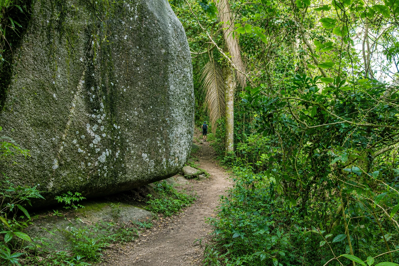
The ascent follows a trail of about 1.2 km that begins at the end of Praia do Canto Grande, near the fishermen’s pier. A few meters after the start the path splits: to the right goes the coastal trail to Praia da Tainha; to the left the climb to the hill begins. The final section is steeper, with stone steps and roots, but the walk is short and not difficult for people with some fitness.
From the top the view opens in almost every direction. Below lies Canto Grande, the narrow strip of sand between the inner sea, calm and facing the bay, and the outer sea, open to the ocean. To the north stretches Praia de Mariscal; to the west, Zimbros and the Tijucas Bay; offshore are the islands along the Bombinhas coast. Many visitors hike up to watch sunrise or sunset.
The hill should not be confused with Mirante Eco 360, a neighboring private viewpoint on the higher summit of the same area with its own access. Both visits can be done the same day, as can the descent to Praia da Tainha via the coastal trail.
Before you go
Practical information
Cidade Turismo reviews its information regularly, but something may have changed. Check with the place before planning your trip.
How much time to set aside
1 to 2 hours, round trip, with a stop at the summit. With the trail to Praia da Tainha, half a day.
Best time
All year, on clear-sky days, which give longer views of the beaches and islands. Start early in summer, from December to March, to avoid strong heat on the trail. Sunrise and sunset are the most popular times.
How to get there
From downtown Bombinhas, head to Canto Grande and go to the end of the beach, on Rua Jequitibá, near the pier, where the trail begins. Take the left branch at the fork, right at the start. There is street parking, more contested in summer, and local bus lines to Canto Grande.
Tip
Wear shoes with good grip, because the final section has rocks and roots. Bring water and do not leave trash on the trail. For sunrise or sunset, bring a flashlight for the descent.
Get your questions answered
Frequently asked questions about Morro do Macaco
Where does the Morro do Macaco trail start?
At the end of Praia do Canto Grande, in Bombinhas, on Rua Jequitibá, near the pier. Shortly after the start there is a fork: to the left you climb the hill; to the right the trail continues to Praia da Tainha.
Is the Morro do Macaco trail difficult?
It is short, about 1.2 km to the summit. The final section is steeper, with stone steps and roots, but the climb is manageable for people with some fitness.
How high is Morro do Macaco?
The summit is at 191 meters above sea level.
Are Morro do Macaco and Mirante Eco 360 the same place?
No. They are neighboring viewpoints in the same southern peninsula area. Morro do Macaco is inside a municipal park with a trail from Canto Grande; Mirante Eco 360 is a private viewpoint with its own access.
What can you see from the top of Morro do Macaco?
Canto Grande between the inner sea and the outer sea, Praia de Mariscal, Zimbros, Tijucas Bay and the islands off the Bombinhas coast.
Beyond the guide


