
mountain · Tiradentes, MG
Serra de São José
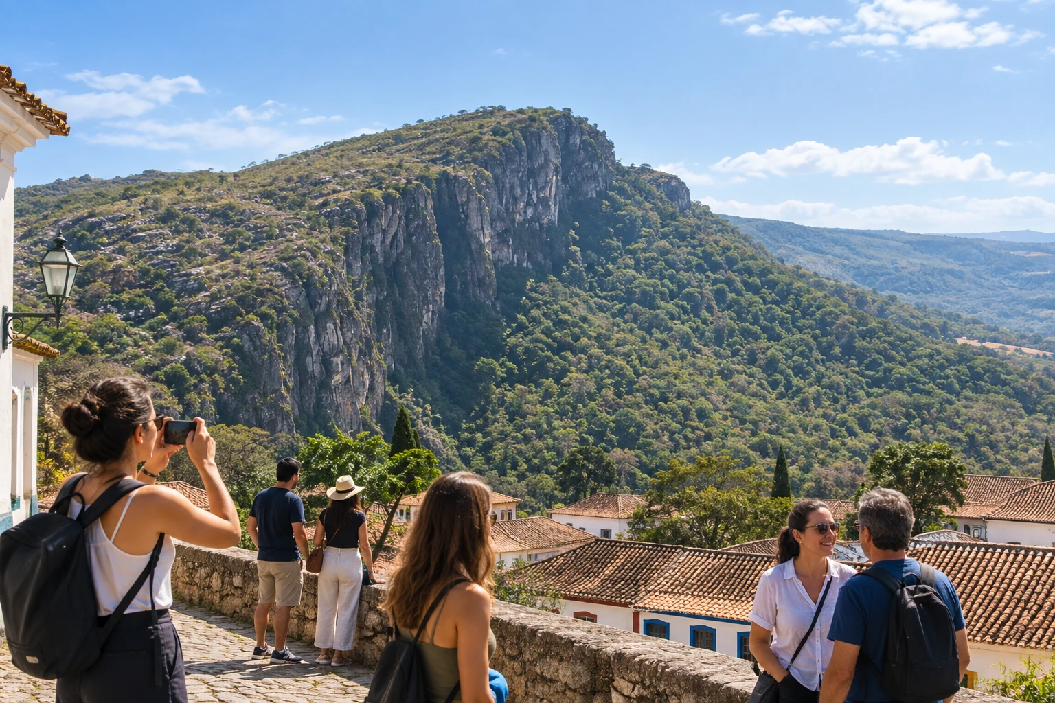
A quartzite ridge that frames the town and is protected as an environmental protection area and wildlife refuge. Its trails pass through forests, springs and viewpoints, including stretches of an old stone-paved road.
Illustrative images. The pictures in this guide are illustrations based on the real place, not photographs, and may differ from it.
Discover
About Serra de São José
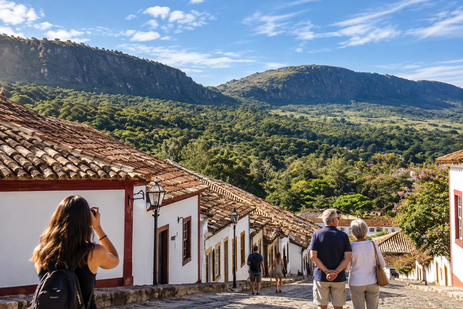
The Serra de São José is the rock wall that frames Tiradentes and appears in the background of almost every photo of the town. The range is protected by an environmental protection area and by the Refúgio de Vida Silvestre Estadual Libélulas da Serra de São José (state wildlife refuge), which extends across Tiradentes and neighboring towns such as São João del-Rei and Santa Cruz de Minas.
The history of the area is tied to the gold cycle: the first 18th-century explorations passed through here. A stretch of the old Calçada dos Escravos (Slaves' Causeway), a path of stones laid centuries ago, can still be walked. On the slope is the Mãe d'Água, the spring that supplies the Chafariz de São José, in the town center.
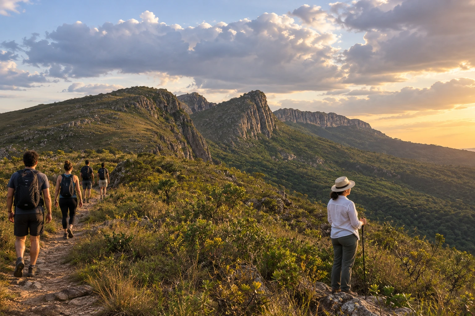
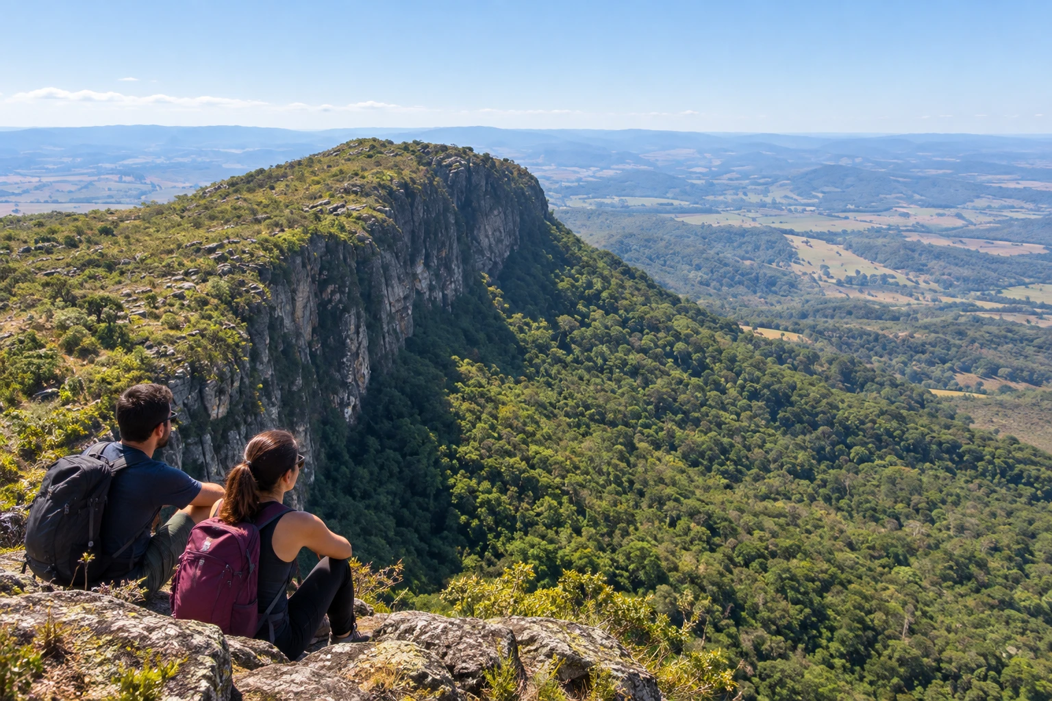
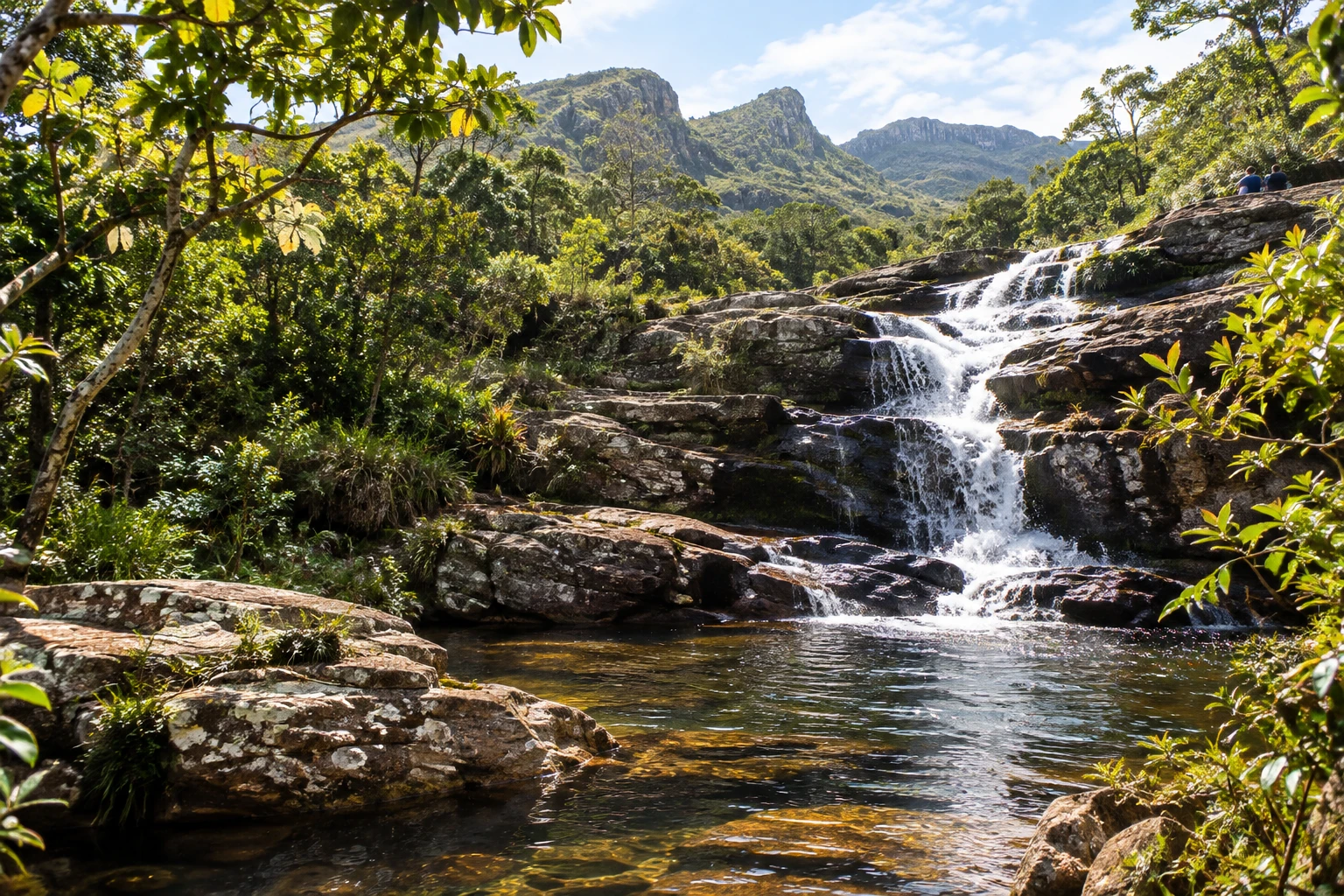
The trails cross patches of Atlantic Forest, fields with rocky-outcrop vegetation and viewpoints overlooking Tiradentes and the valley. The Cachoeira do Mangue (waterfall), with cascades and natural pools, is one of the most popular spots. There are short walks to the waterfall and the full traverse of the range, which takes up most of the day.
It is an outing for those who enjoy hiking. The trails have steep climbs in some stretches and little signage, so it is best to go with a certified guide or a local agency.
Before you go
Practical information
How much time to set aside
Half a day is enough for a trail to a waterfall or a viewpoint; the full traverse takes the whole day.
Best time
From April to September, in the dry season, the trails are firm and the sky is clear. Start early to avoid the strong midday sun; in summer the waterfalls are fuller, but the rains make the path slippery.
How to get there
The mountain range rises right next to town, about 3 km from the historic center of Tiradentes. The trailheads can be reached on foot or by car, and local agencies usually take groups to the start of the trail.
Tip
Bring plenty of water, snacks, sunscreen and insect repellent, and wear sneakers with good grip. Go with a guide: the trail has little signage and it is easy to lose your way.
A look at the place
Serra de São José in pictures
These pictures are illustrations based on the real place, not photographs. They may differ from the place.
Click the picture to enlarge it.
Get your questions answered
Frequently asked questions about Serra de São José
Do I need a guide to hike in the Serra de São José?
It is highly recommended. The trails have little signage, and certified guides and Tiradentes agencies run the hikes.
What is the best-known trail in the range?
The Serra de São José traverse, which passes viewpoints and the Calçada dos Escravos (Slaves' Causeway) and ends near the Cachoeira do Mangue (waterfall). There are also shorter trails to waterfalls.
Is the trail difficult?
It is moderately difficult: much of it is flat, but there are steep climbs and descents. You need to be fit enough to walk for several hours.
Can I start from downtown Tiradentes?
Yes. The range is about 3 km from the center, and the trails start at the edge of town.
Are there waterfalls in the Serra de São José?
Yes. The Cachoeira do Mangue, with cascades and natural pools, is the most popular in the range.