

 Brazil
 Antarctica
 Argentina
 Bolivia
 Chile
 Colombia
 Ecuador
 Guyana
 French Guiana
 Falkland Islands (Malvinas)
 Paraguay
 Peru
 Suriname
 Uruguay
 Venezuela
 Germany
 Austria
 Belgium
 Croatia
 Denmark
 Slovakia
 Slovenia
 Spain
 Finland
 France
 Greece
 the Netherlands
 Hungary
 Ireland
 Iceland
 Italy
 Luxembourg
 Norway
 Poland
 Portugal
 the United Kingdom
 the Czech Republic
 Sweden
 Switzerland
 Turkey
 Bermuda
 Canada
 the United States
 Greenland
 Mexico
 Saint Pierre and Miquelon
 the Dominican Republic
 South Africa
 Egypt
 Australia
 Fiji
 New Zealand
 Papua New Guinea
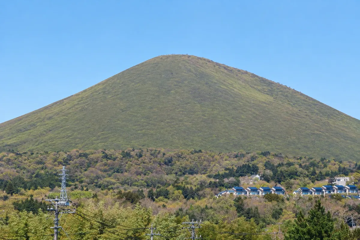
Volcano · Itō, Shizuoka
Mount Omuro
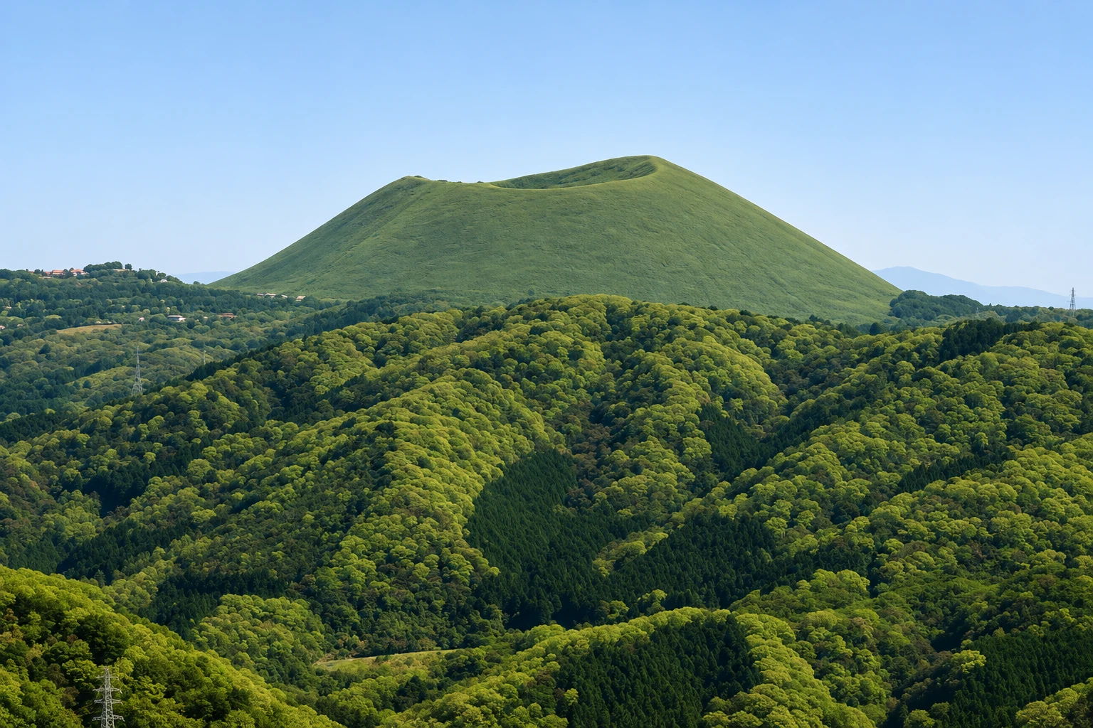
A 580-meter grassy volcanic cone on the Izu Kogen plateau in Ito. You reach it by chairlift, and the crater rim is walked on foot, with views of the sea, the Izu islands and Mount Fuji.
Illustrative images. The pictures in this guide are illustrations based on the real place, not photographs, and may differ from it.

A look at the place
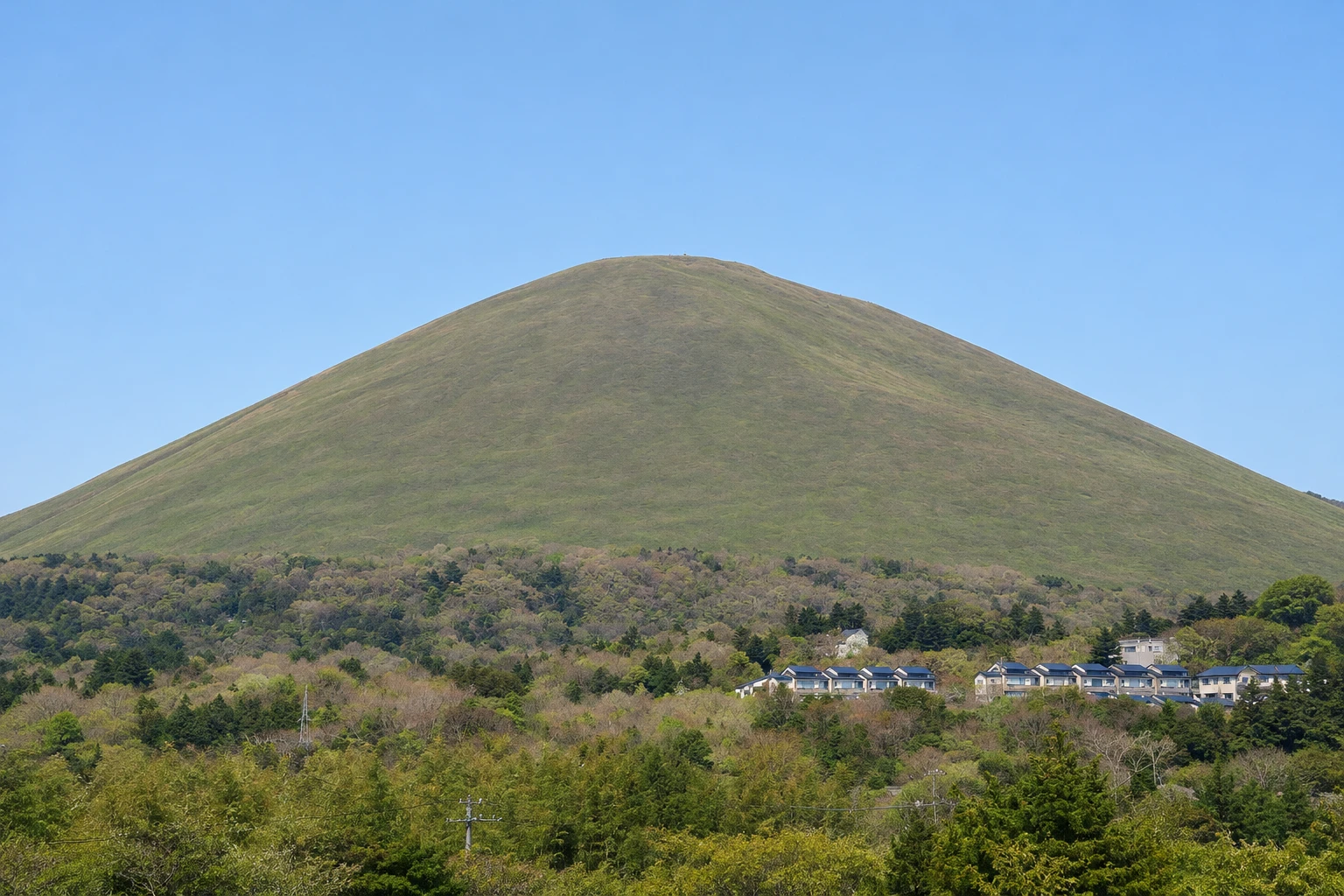
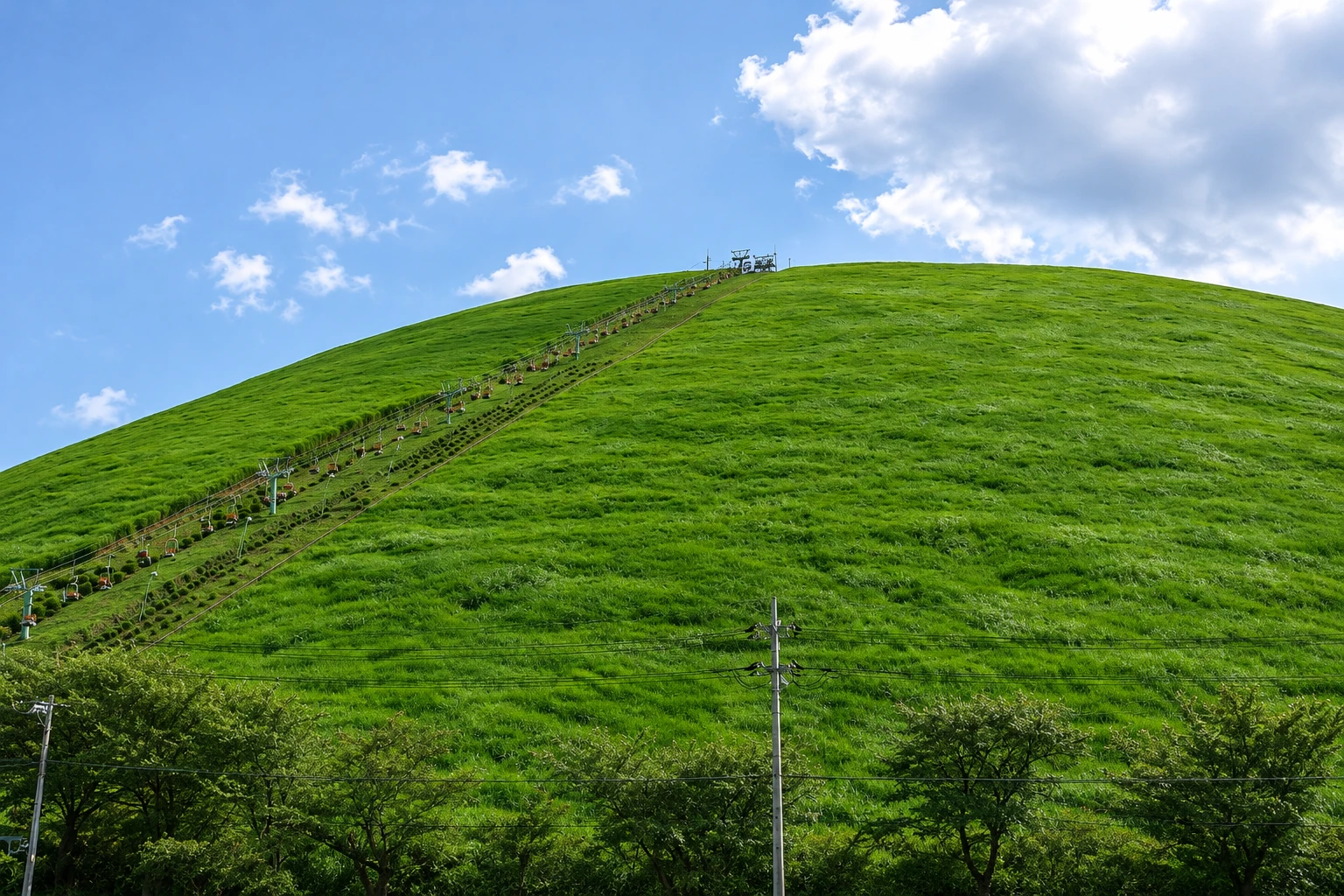
Mount Omuro in pictures
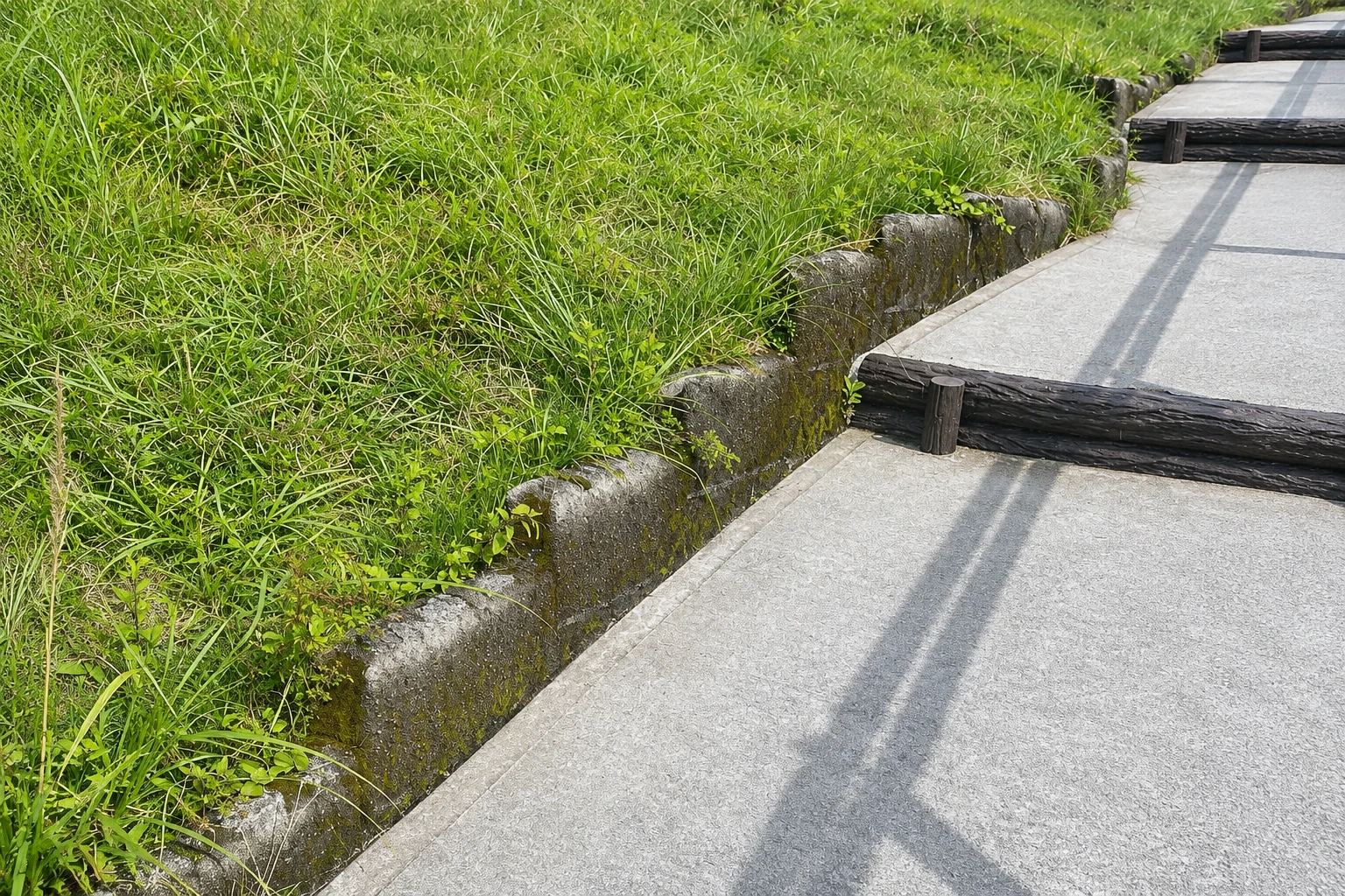
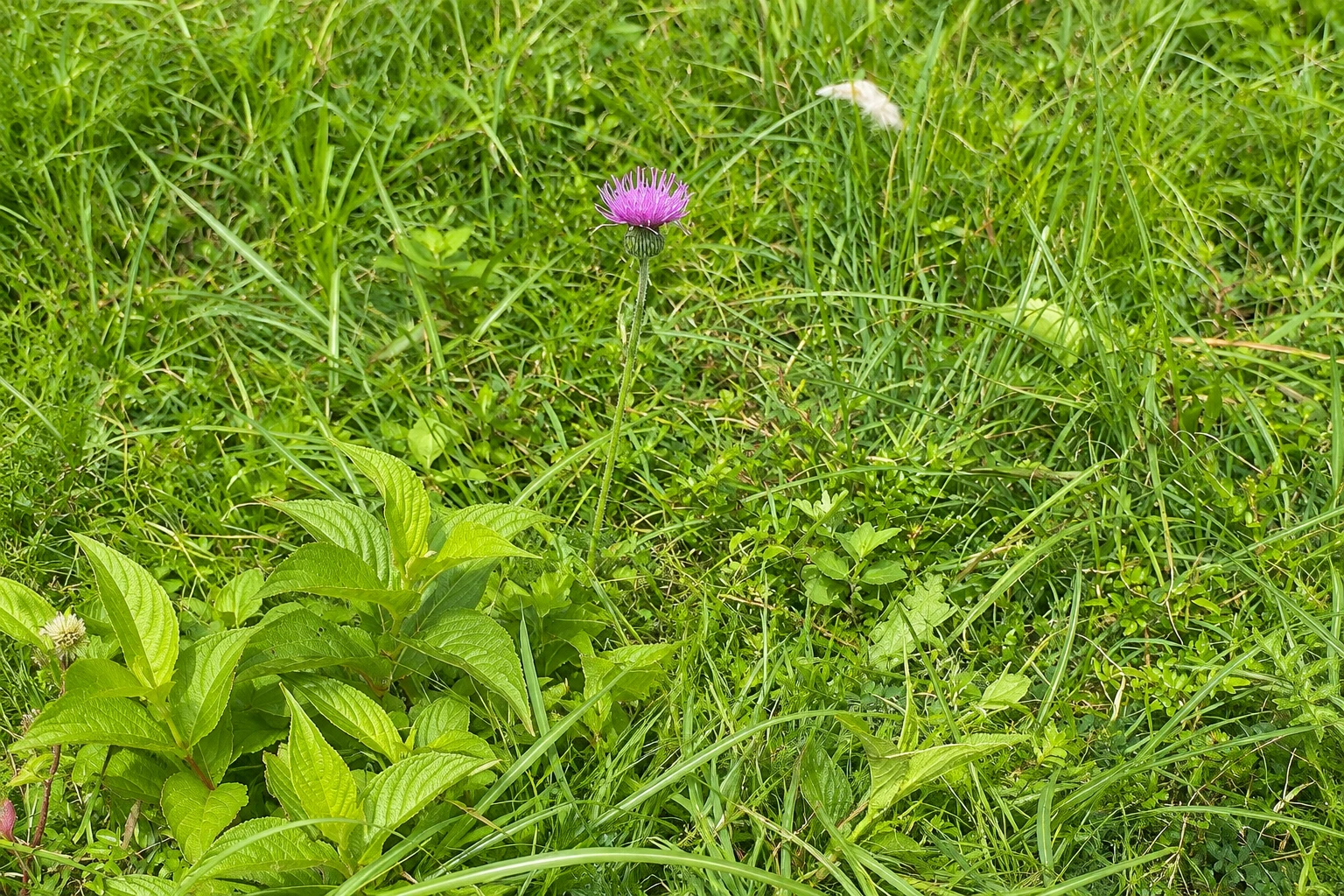
These pictures are illustrations based on the real place, not photographs. They may differ from the place.
Click the picture to enlarge it.
Discover
About Mount Omuro
Mount Omuro is a volcano of about 4,000 years, shaped like an inverted bowl, rising to 580 meters on the Izu Kogen plateau, south of Ito’s center. Its regular form and grass cover, without trees, make it one of the peninsula’s most familiar images. It is protected as a national natural monument and is part of the Izu Geopark.
To protect the slope, walking up is not allowed: the only route is the chairlift, which takes about six minutes to the top. Up there, a trail of about 1 km circles the crater rim, with steps and handrails on the steeper sections. The circuit takes 20 to 30 minutes.
From the rim you can see the sea, the Izu islands such as Oshima, and, on clear days, Mount Fuji to the north. On the crater floor, which is flat, there is an archery range and a small shrine. When there is no strong wind, you may also see people paragliding nearby.
Every February, the dried grass is burned in a traditional event, the yamayaki, which renews the turf and leaves the mountain black for a few weeks until the green returns in spring. At the foot of the mountain are Sakura no Sato Park, with several varieties of cherry trees, and small plateau museums. The Jogasaki coast is a few kilometers away inland.
Before you go
Practical information
Cidade Turismo reviews its information regularly, but something may have changed. Check with the place before planning your trip.
How much time to set aside
About 1 hour, including the chairlift and the rim circuit.
Best time
In the morning, when the air is usually clearer for views of Mount Fuji. The chairlift may stop in strong winds or bad weather, and the rim trail can close. The grass burning takes place in February. Check times in advance.
How to get there
From Ito Station, take a bus to the Mount Omuro stop, about 40 minutes. From Izu Kogen Station on the Izukyu Line, it’s about 15 minutes by bus or taxi.
Tip
Bring a warm layer: at the summit the wind is often stronger and colder than in town. Afterwards, head to the nearby Jogasaki coast.
Official website
Get your questions answered
Frequently asked questions about Mount Omuro
Is it possible to walk up Mount Omuro?
No. The ascent trail has been closed to protect the slope, and the only access to the top is the chairlift, which takes about six minutes.
How long does the walk around Mount Omuro’s crater take?
20 to 30 minutes, on a trail of about 1 km along the rim, with steps and handrails on the steeper sections.
Can you see Mount Fuji from Mount Omuro?
On clear days, yes, to the north. Visibility is usually better in the morning and in winter.
When is the burning of Mount Omuro?
In February, during a traditional event called yamayaki. The date changes each year and depends on the weather; check in advance.
Beyond the guide


