
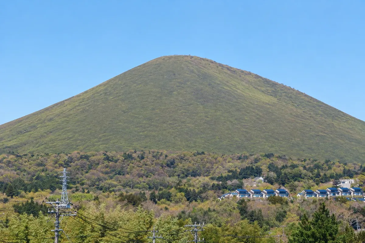
Volcano
Mount Omuro
A 580-meter grassy volcanic cone on the Izu Kogen plateau in Ito. You reach it by chairlift, and the crater rim is walked on foot, with views of the sea, the Izu islands and Mount Fuji.

 Search
 Brazil
 Antarctica
 Argentina
 Bolivia
 Chile
 Colombia
 Ecuador
 Guyana
 French Guiana
 Falkland Islands (Malvinas)
 Paraguay
 Peru
 Suriname
 Uruguay
 Venezuela
 Germany
 Austria
 Belgium
 Croatia
 Denmark
 Slovakia
 Slovenia
 Spain
 Finland
 France
 Greece
 the Netherlands
 Hungary
 Ireland
 Iceland
 Italy
 Luxembourg
 Norway
 Poland
 Portugal
 the United Kingdom
 the Czech Republic
 Sweden
 Switzerland
 Turkey
 Bermuda
 Canada
 the United States
 Greenland
 Mexico
 Saint Pierre and Miquelon
 the Dominican RepublicJapanTurkey
 South Africa
 Egypt
 Australia
 Fiji
 New Zealand
 Papua New Guinea
Shizuoka · Japan
In the destination Izu Peninsula.
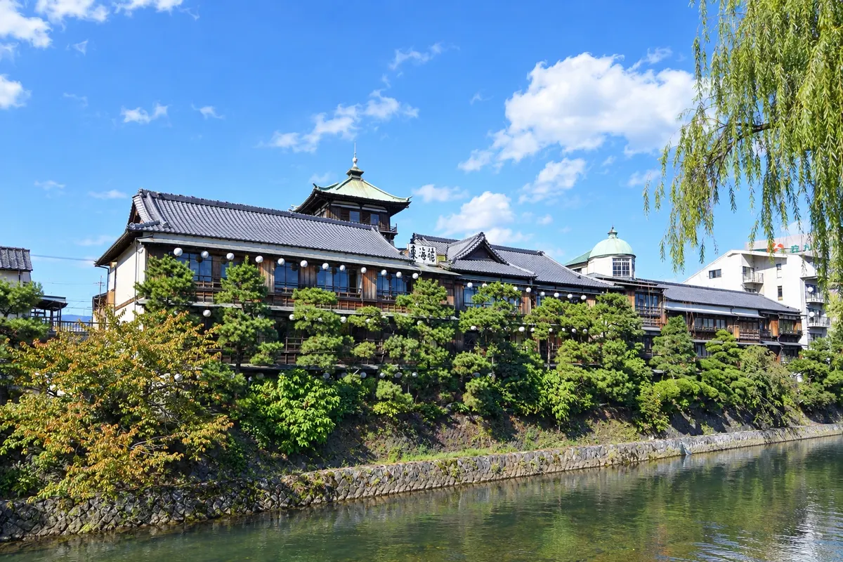
In the photo: Tokaikan and the Matsukawa River in Ito.
Illustrative images. The pictures in this guide are illustrations based on the real place, not photographs, and may differ from it.
The city
A hot-spring resort on the east coast of the Izu Peninsula, Ito has hundreds of springs, bathing houses and the former wooden ryokan Tokaikan, by the Okawa River. To the south, in the Izu Kogen area, are the cone of Mount Omuro, reached by a chairlift, and the Jogasaki coast, with lava cliffs and a suspension bridge over the sea.
There's no accommodation in the guide yet in Itō.
how to get there · how many days · itinerary · questions
The local experience
A 580-meter grassy volcanic cone on the Izu Kogen plateau in Ito. You reach it by chairlift, and the crater rim is walked on foot, with views of the sea, the Izu islands and Mount Fuji.
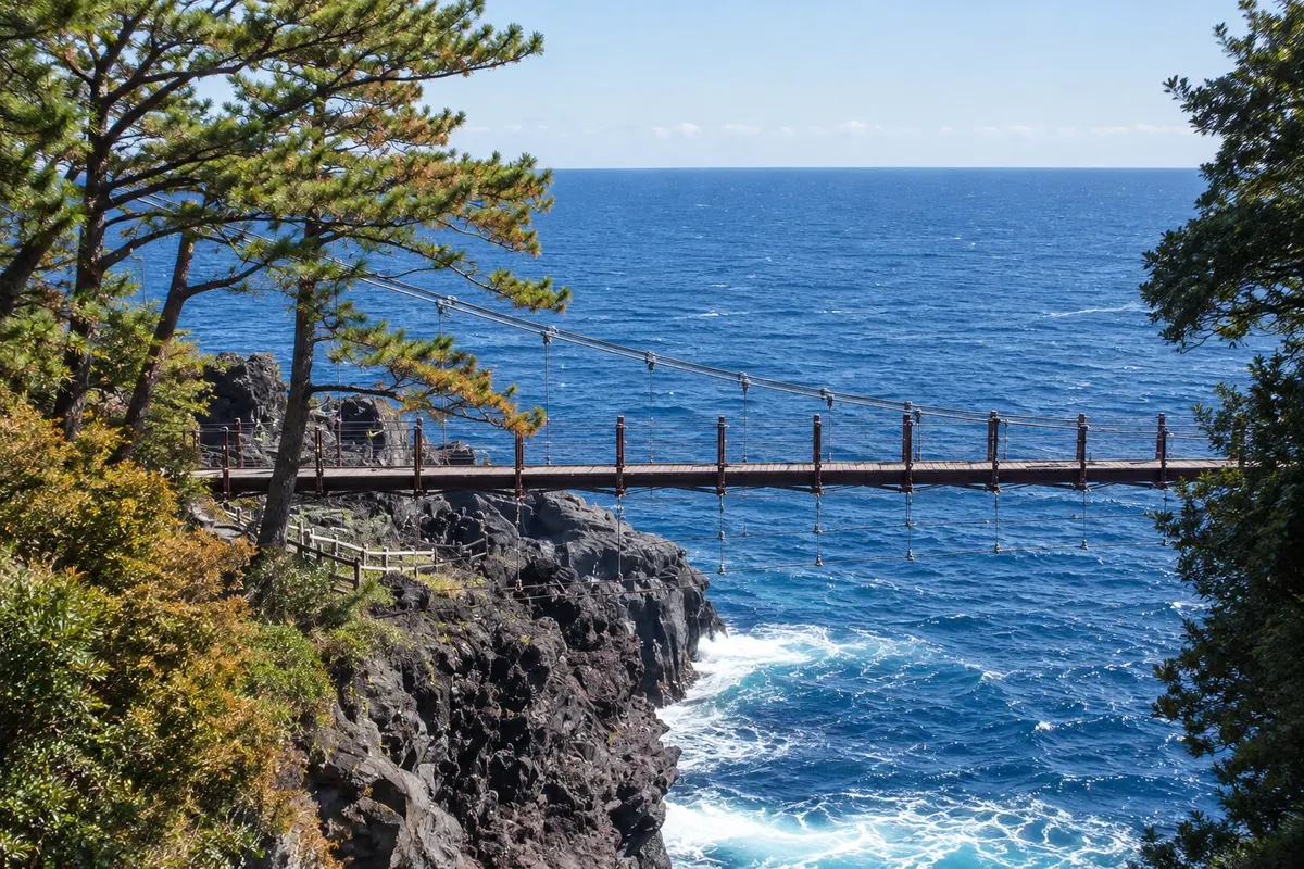
A coastline of black lava cliffs formed by an eruption from Mount Omuro, featuring the Kadowaki suspension bridge 23 meters above the sea, a lighthouse and cliff-edge trails.
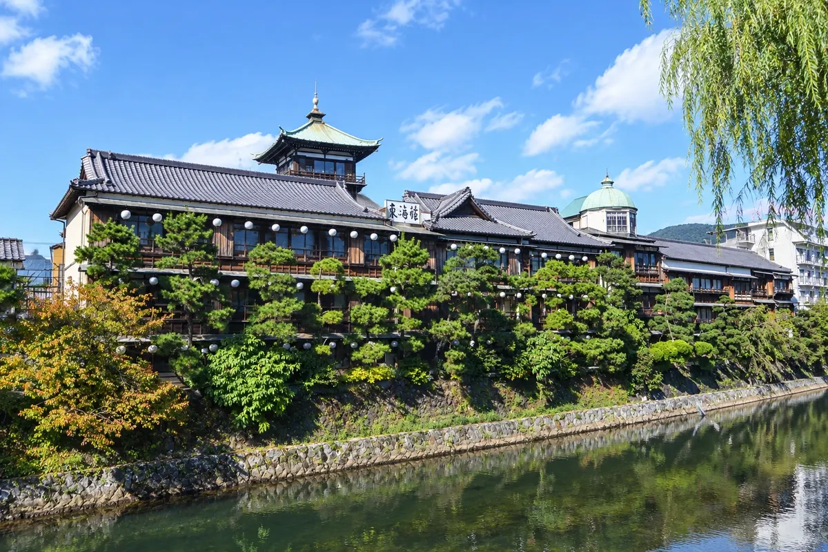
Former three-story wooden ryokan from 1928, on the banks of the Okawa River in central Ito, now open as a cultural center, with tatami rooms, an observation tower and a hot-spring bath on some days.
Beyond the guide


