

 Brazil
 Antarctica
 Argentina
 Bolivia
 Chile
 Colombia
 Ecuador
 Guyana
 French Guiana
 Falkland Islands (Malvinas)
 Paraguay
 Peru
 Suriname
 Uruguay
 Venezuela
 Germany
 Austria
 Belgium
 Croatia
 Denmark
 Slovakia
 Slovenia
 Spain
 Finland
 France
 Greece
 the Netherlands
 Hungary
 Ireland
 Iceland
 Italy
 Luxembourg
 Norway
 Poland
 Portugal
 the United Kingdom
 the Czech Republic
 Sweden
 Switzerland
 Turkey
 Bermuda
 Canada
 the United States
 Greenland
 Mexico
 Saint Pierre and Miquelon
 the Dominican Republic
 South Africa
 Egypt
 Australia
 Fiji
 New Zealand
 Papua New Guinea
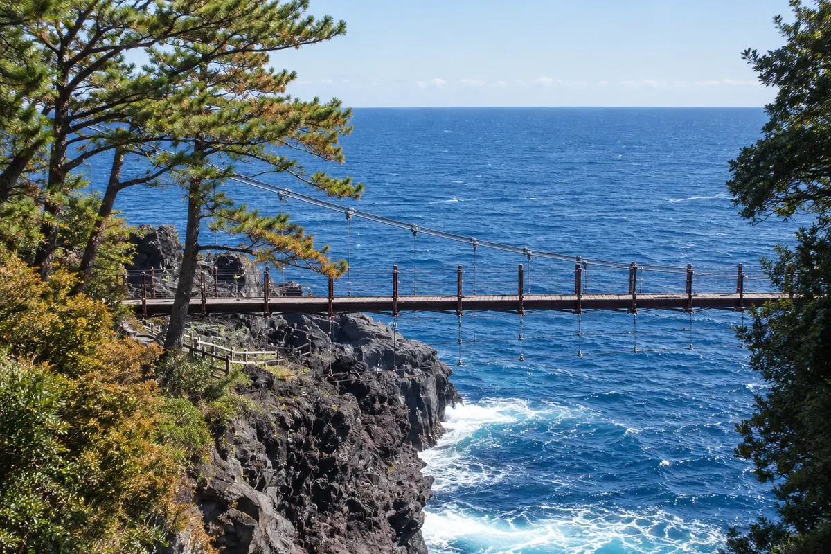
Coast · Itō, Shizuoka
Jogasaki Coast
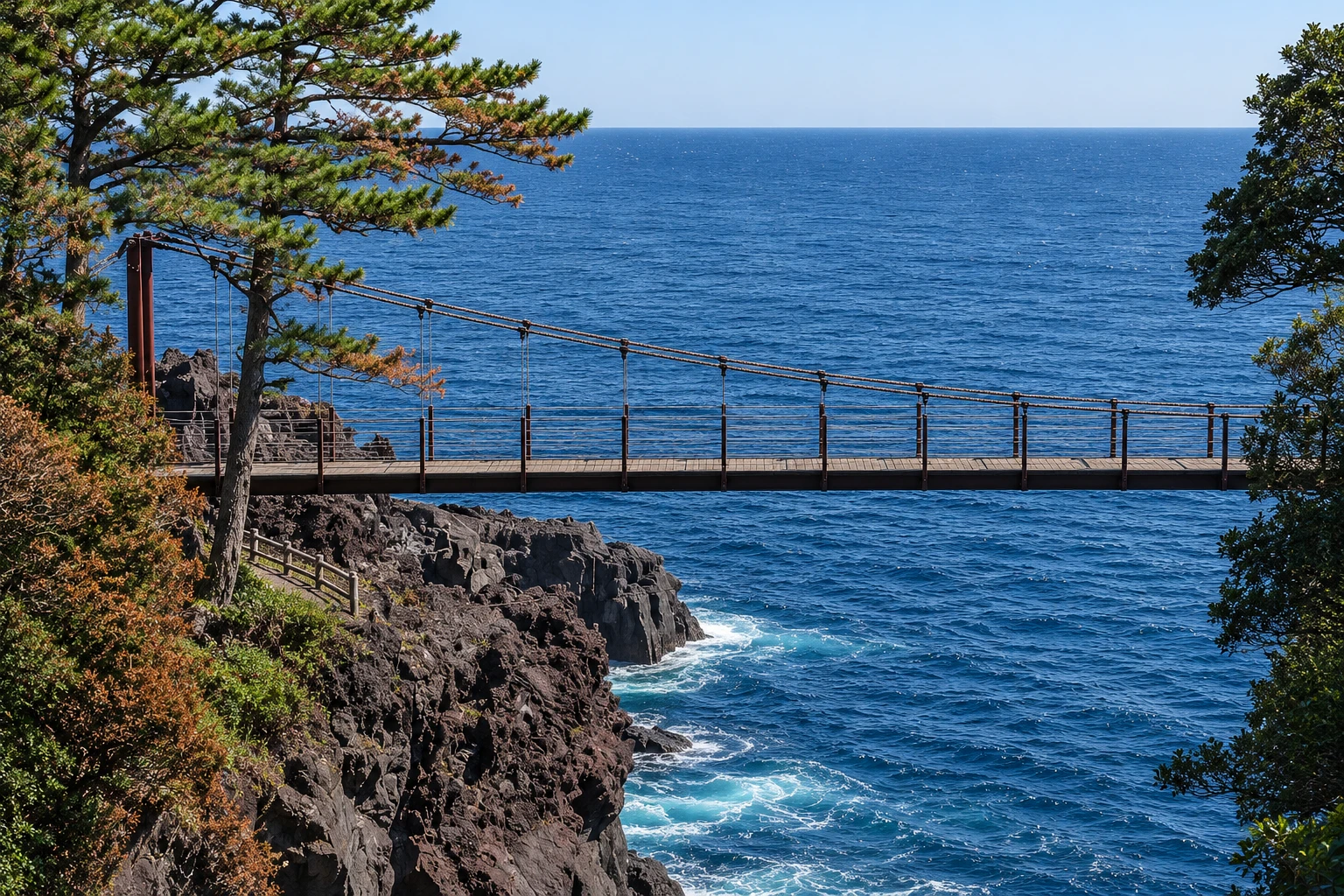
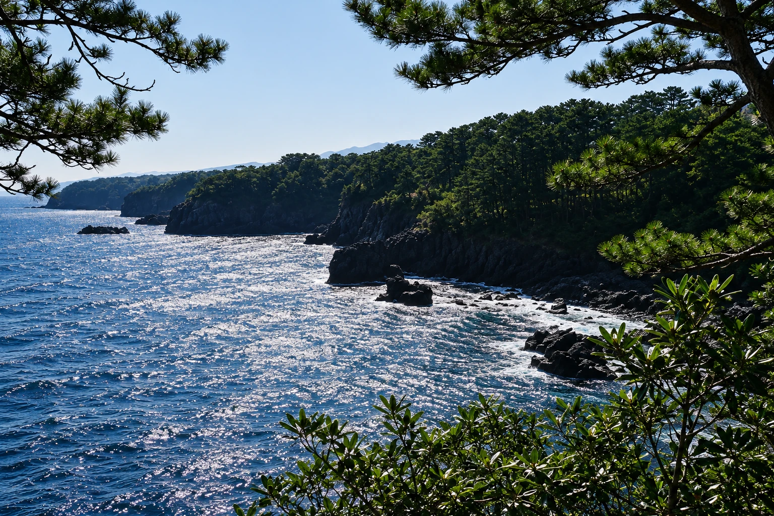
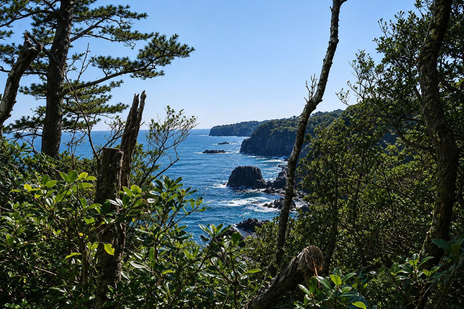
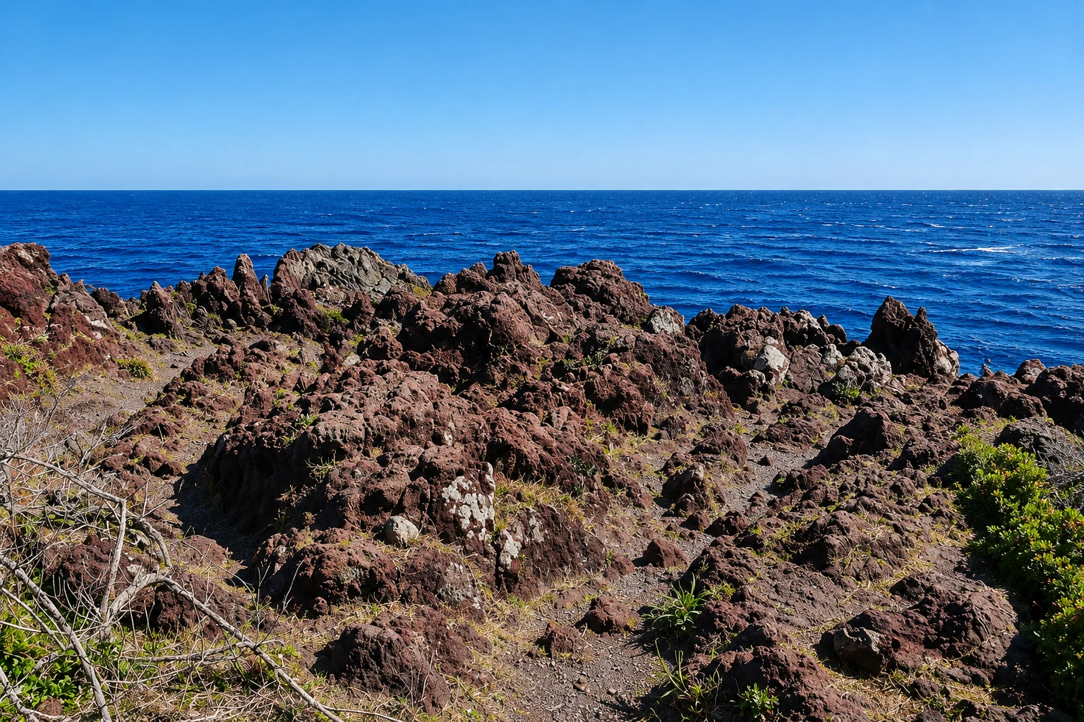
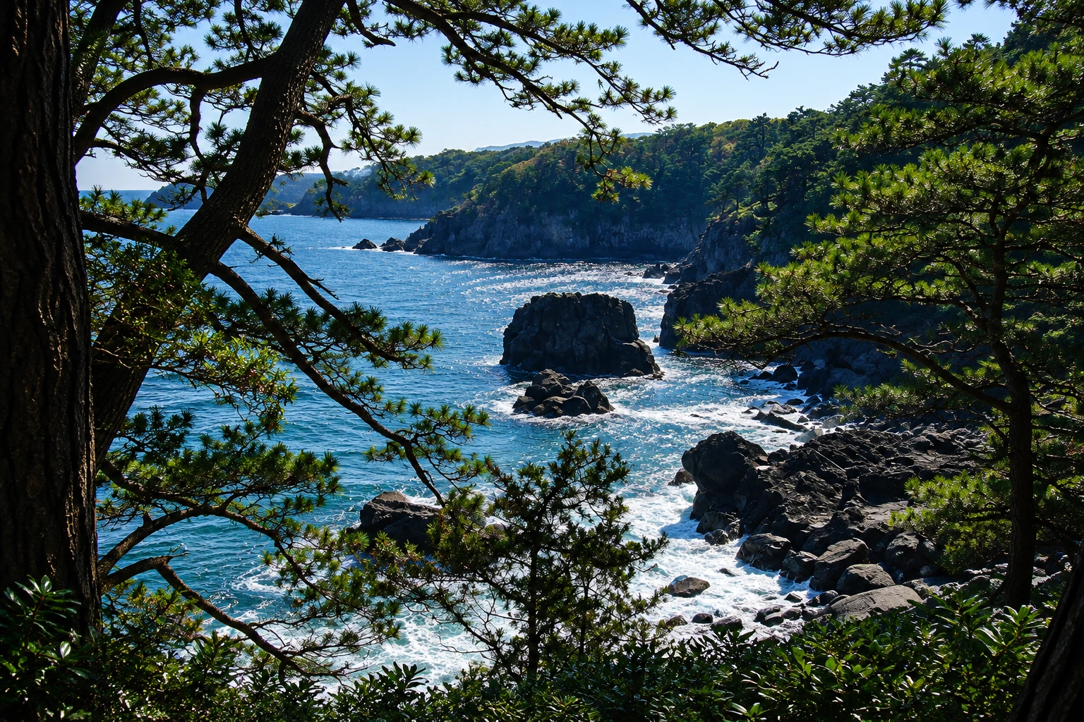
A coastline of black lava cliffs formed by an eruption from Mount Omuro, featuring the Kadowaki suspension bridge 23 meters above the sea, a lighthouse and cliff-edge trails.
Illustrative images. The pictures in this guide are illustrations based on the real place, not photographs, and may differ from it.

A look at the place
Jogasaki Coast in pictures
These pictures are illustrations based on the real place, not photographs. They may differ from the place.
Click the picture to enlarge it.
Discover
About Jogasaki Coast
The Jogasaki coast stretches about 9 km of Ito’s shoreline, south of the center. It was formed around 4,000 years ago when lava from Mount Omuro reached the sea and cooled into dark cliffs, carved by waves into coves, columns and caves. The landscape is one of the most visited sites in the Izu Geopark.
The best-known point is the Kadowaki suspension bridge, 48 meters long and about 23 meters above the water, spanning two rock promontories. Nearby, the Kadowaki Lighthouse has an observation platform open to visitors, with views along the cliff line and, on clear days, of Oshima Island.
A coastal trail, the Jogasaki Pikunikaru Kosu, runs along the cliff edge between the bridge and the Izu Kogen area, with sections of uneven rock and exposed roots. Another longer, more demanding route continues south to Yawatano. On both trails the path runs close to the edge, so pay attention to footwear and weather.
The area has parking, toilets and some seafood restaurants near the bridge. In spring the slopes behind the coast bloom with flowers, and in winter the sea is usually rougher, with high waves hitting the rocks. Mount Omuro is a few kilometers inland.
Before you go
Practical information
Cidade Turismo reviews its information regularly, but something may have changed. Check with the place before planning your trip.
How much time to set aside
From 1 to 2 hours, including the bridge, the lighthouse and a section of the trail.
Best time
In the morning or mid-afternoon, with the sea visible from above. Avoid days with strong wind and rain, when the rocks become slippery. Confirm the lighthouse opening hours beforehand.
How to get there
From Ito Station, take the Izukyu Line to Jogasaki-Kaigan Station (about 20 minutes), then walk about 20 minutes to Kadowaki Bridge. There are also buses from Ito and Izu-Kōgen.
Tip
Wear sneakers with good grip: the trail goes over rough lava and roots. For photos of the bridge, view it from the lookout next to the lighthouse.
Get your questions answered
Frequently asked questions about Jogasaki Coast
What is the Jogasaki suspension bridge like?
It is Kadowaki Bridge, 48 meters long and about 23 meters above the sea. It sways a little in the wind and offers views of the cliffs.
How do you reach the Jogasaki coast by train?
Take the Izukyu Line to Jogasaki-Kaigan Station, about 20 minutes from Ito. From the station, it’s about a 20-minute walk to the bridge.
Is the Jogasaki coastal trail difficult?
The section between the bridge and Izu-Kōgen is short, but has uneven rocks and roots. The trail southward is longer and requires more fitness.
How much time should you allow for the Jogasaki coast?
1 to 2 hours for the bridge, the lighthouse and a stretch of the trail. Combine it with Mount Omuro on the same day.
Beyond the guide


