

 Brazil
 Antarctica
 Argentina
 Bolivia
 Chile
 Colombia
 Ecuador
 Guyana
 French Guiana
 Falkland Islands (Malvinas)
 Paraguay
 Peru
 Suriname
 Uruguay
 Venezuela
 Germany
 Austria
 Belgium
 Croatia
 Denmark
 Slovakia
 Slovenia
 Spain
 Finland
 France
 Greece
 the Netherlands
 Hungary
 Ireland
 Iceland
 Italy
 Luxembourg
 Norway
 Poland
 Portugal
 the United Kingdom
 the Czech Republic
 Sweden
 Switzerland
 Turkey
 Bermuda
 Canada
 the United States
 Greenland
 Mexico
 Saint Pierre and Miquelon
 the Dominican Republic
 South Africa
 Egypt
 Australia
 Fiji
 New Zealand
 Papua New Guinea
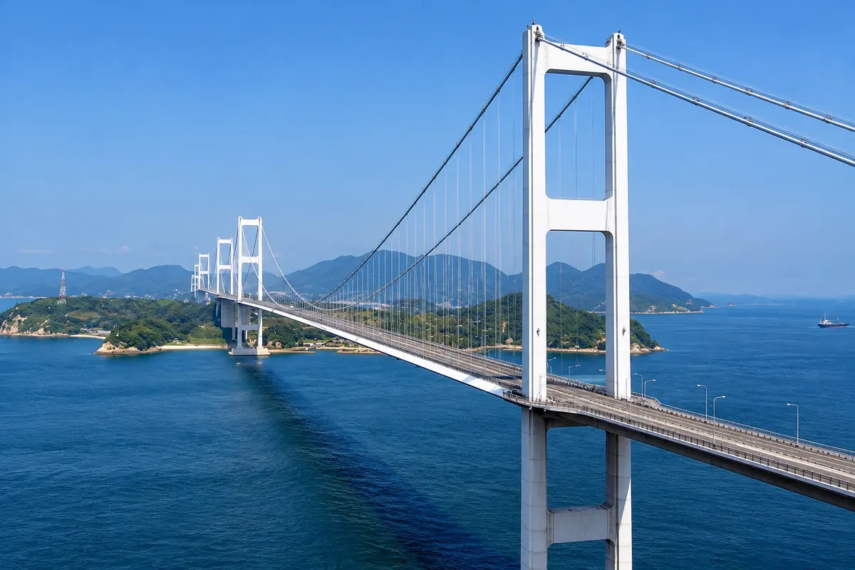
Bicycle route · Imabari, Ehime
Shimanami Kaido
Road of about 60 km between Imabari and Onomichi, across six islands and seven bridges, with a bike path of roughly 70 km marked by a blue line and bicycle rental stations.
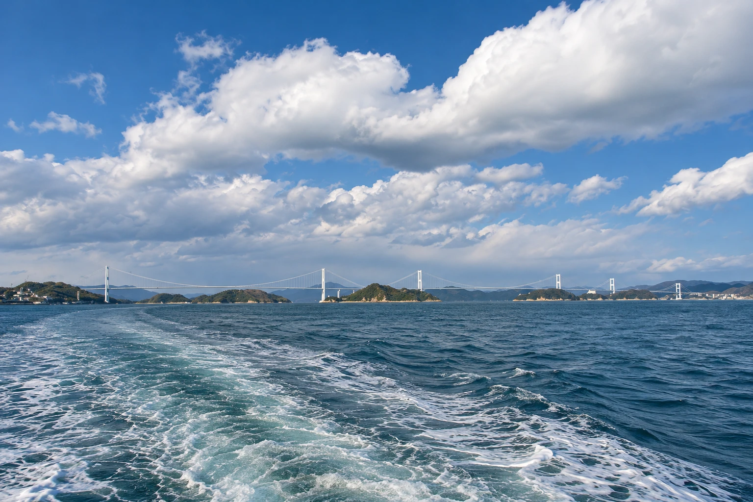
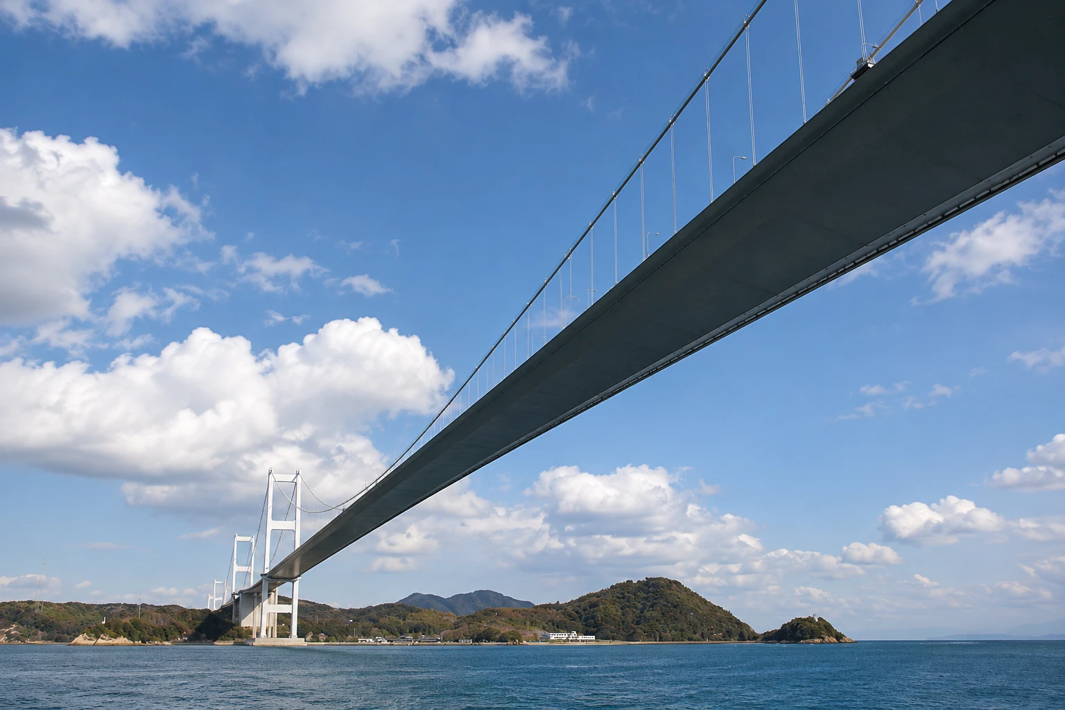
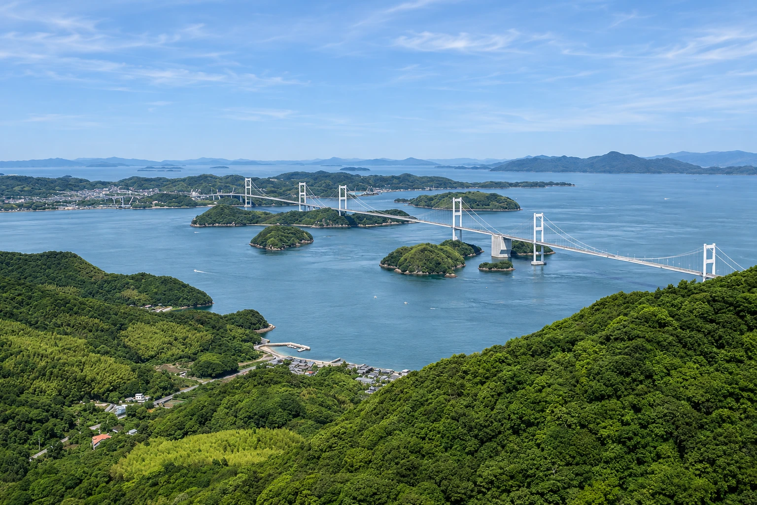
Illustrative images. The pictures in this guide are illustrations based on the real place, not photographs, and may differ from it.

A look at the place
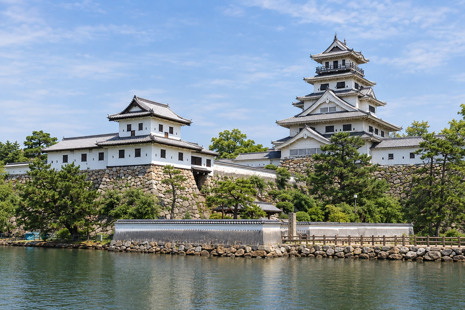
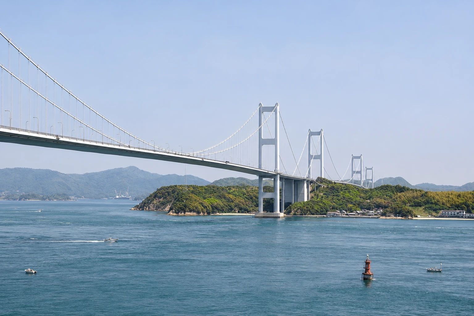
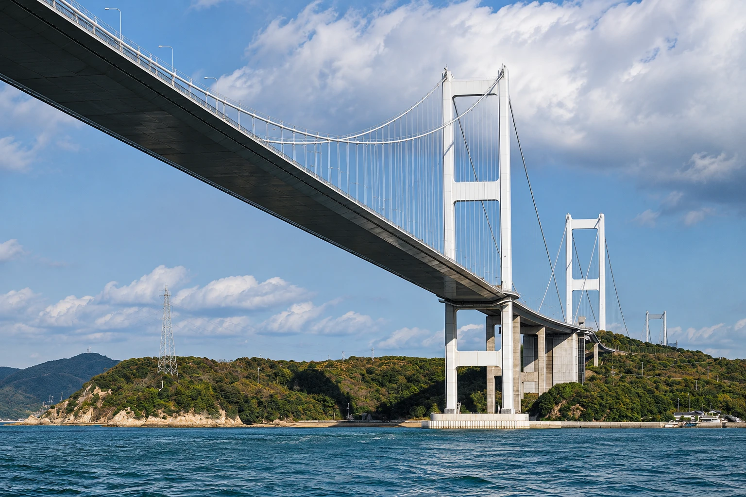
Shimanami Kaido in pictures
These pictures are illustrations based on the real place, not photographs. They may differ from the place.
Click the picture to enlarge it.
Discover
About Shimanami Kaido
Shimanami Kaido is the popular name for the Nishiseto Expressway, which links Imabari, on Shikoku, to Onomichi, in Hiroshima, crossing the Inland Sea for about 60 km. The road goes over six islands — Oshima, Hakatajima, Omishima, Ikuchijima, Innoshima and Mukaishima — via seven bridges of different designs, opened in sequence up to 1999.
Alongside the expressway, on dedicated lanes on the bridges and local roads on the islands, runs a cycling route of about 70 km, marked by a blue line on the pavement and distance signs. The climbs to each bridge are made by gentle ramps. Cyclists of all ages ride it, from ordinary bicycles to road bikes, and there are rental terminals along the way, with returns possible at a different location.
Kurushima Bridge, at the Imabari end, is the longest, at about 4 km, and the world’s first structure formed by three consecutive suspension bridges. The Itoyama Park viewpoint near the bridgehead shows the entire bridge and the strait, where tidal currents form whirlpools. Sightseeing boats often depart to view the currents up close.
On the islands the route passes citrus and tangerine orchards, beaches, fishing villages, Oyamazumi Shrine on Omishima, Kosan-ji Temple and the Hirayama Ikuo Museum on Ikuchijima. A full crossing typically takes an experienced cyclist a whole day, or two days for those who pedal more leisurely and stop on the islands.
Before you go
Practical information
Cidade Turismo reviews its information regularly, but something may have changed. Check with the place before planning your trip.
How much time to set aside
From half a day, for the Imabari–Oshima section, to two days for the complete crossing to Onomichi.
Best time
From March to May and October to November, when temperatures are mild. Start early to have daylight for the whole section. Strong winds, heavy rain or a typhoon can close the bridges to bicycles; check the forecast before you go.
How to get there
In Imabari, the Itoyama terminal is about 6 km from the station by bus or bike; the station also has rentals. At the other end, Onomichi is on the Sanyo train line.
Tip
Reserve a bicycle during high season and choose an electric bike if you don’t cycle often. If you want to shorten the route, take a boat between islands or the bus and return the bike at the nearest terminal.
Get your questions answered
Frequently asked questions about Shimanami Kaido
How many kilometers long is the Shimanami Kaido cycling route?
Around 70 km between Imabari and Onomichi, with variations depending on the route chosen across the islands. The expressway itself is about 60 km.
Is the Shimanami Kaido hard to cycle?
No special fitness is required. The climbs to the bridges are gentle ramps, and most of the rest is flat. The total distance is what tires you; shorter sections are easy.
Can I return the bicycle at a different terminal?
Yes, most terminals accept returns at another point on the route, with their own fees and rules. Confirm when you rent.
Where can I see the Kurushima Bridge from a distance?
From the viewpoint at Itoyama Park in Imabari, next to the bicycle terminal, and from the Kiro Mountain lookout on Oshima.
Beyond the guide


