

 Brazil
 Antarctica
 Argentina
 Bolivia
 Chile
 Colombia
 Ecuador
 Guyana
 French Guiana
 Falkland Islands (Malvinas)
 Paraguay
 Peru
 Suriname
 Uruguay
 Venezuela
 Germany
 Austria
 Belgium
 Croatia
 Denmark
 Slovakia
 Slovenia
 Spain
 Finland
 France
 Greece
 the Netherlands
 Hungary
 Ireland
 Iceland
 Italy
 Luxembourg
 Norway
 Poland
 Portugal
 the United Kingdom
 the Czech Republic
 Sweden
 Switzerland
 Turkey
 Bermuda
 Canada
 the United States
 Greenland
 Mexico
 Saint Pierre and Miquelon
 the Dominican Republic
 South Africa
 Egypt
 Australia
 Fiji
 New Zealand
 Papua New Guinea
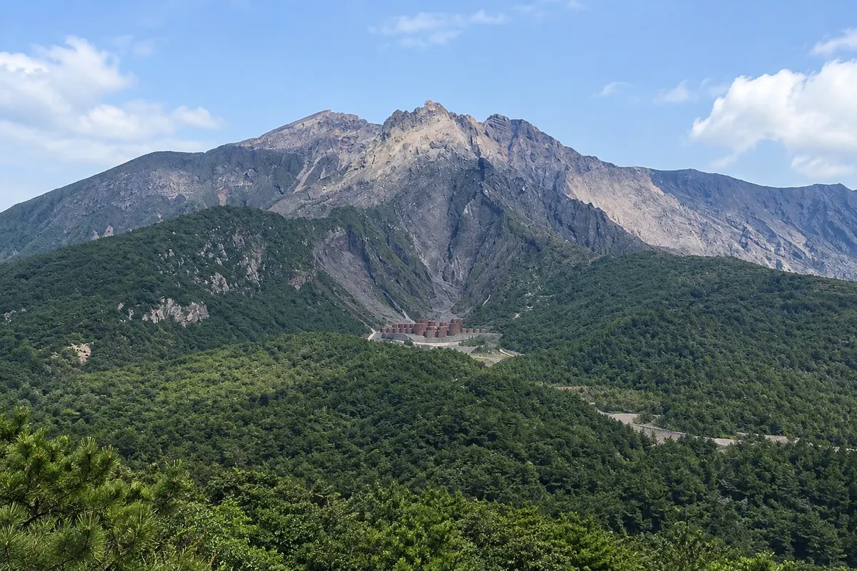
Volcano · Kagoshima, Kagoshima
Sakurajima
An active volcano opposite Kagoshima, 15 minutes by ferry, with lookouts on its slopes, trails over the 1914 lava, a bayfront footbath and the buried torii of Kurokami.
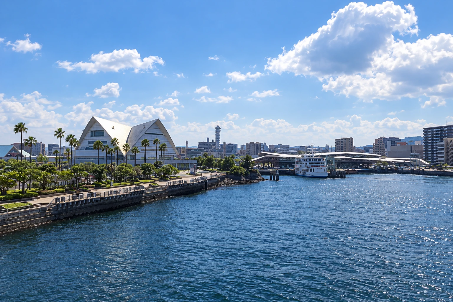
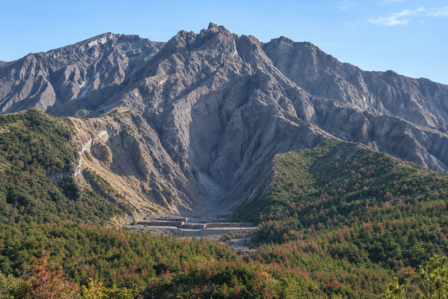
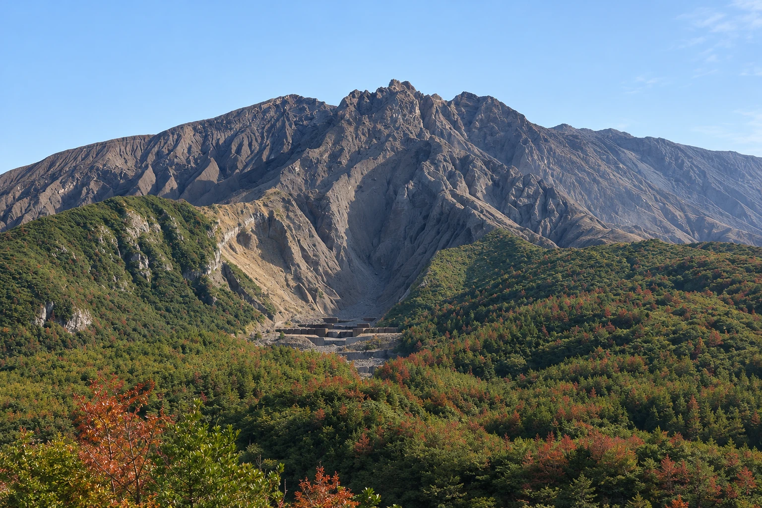
Illustrative images. The pictures in this guide are illustrations based on the real place, not photographs, and may differ from it.

A look at the place
Sakurajima in pictures
These pictures are illustrations based on the real place, not photographs. They may differ from the place.
Click the picture to enlarge it.
Discover
About Sakurajima
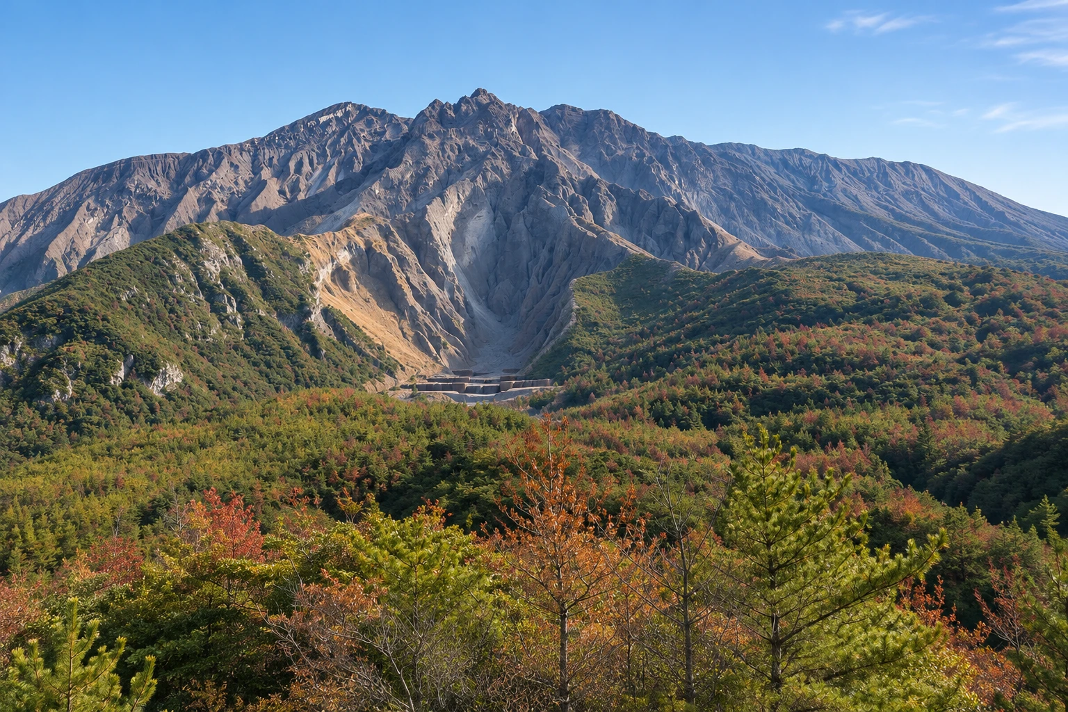
Sakurajima is the volcano rising in Kinko Bay, opposite Kagoshima. It has three peaks, the highest, Kitadake, at 1,117 meters, and emits ash and smoke several times a year, especially from the Minamidake and Showa craters. It was an island until 1914, when the largest eruption in Japan in the 20th century released enough lava to connect it to the Ōsumi Peninsula to the east.
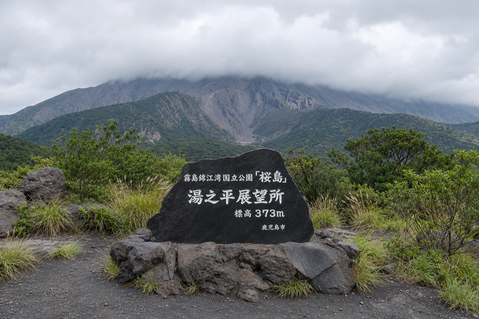
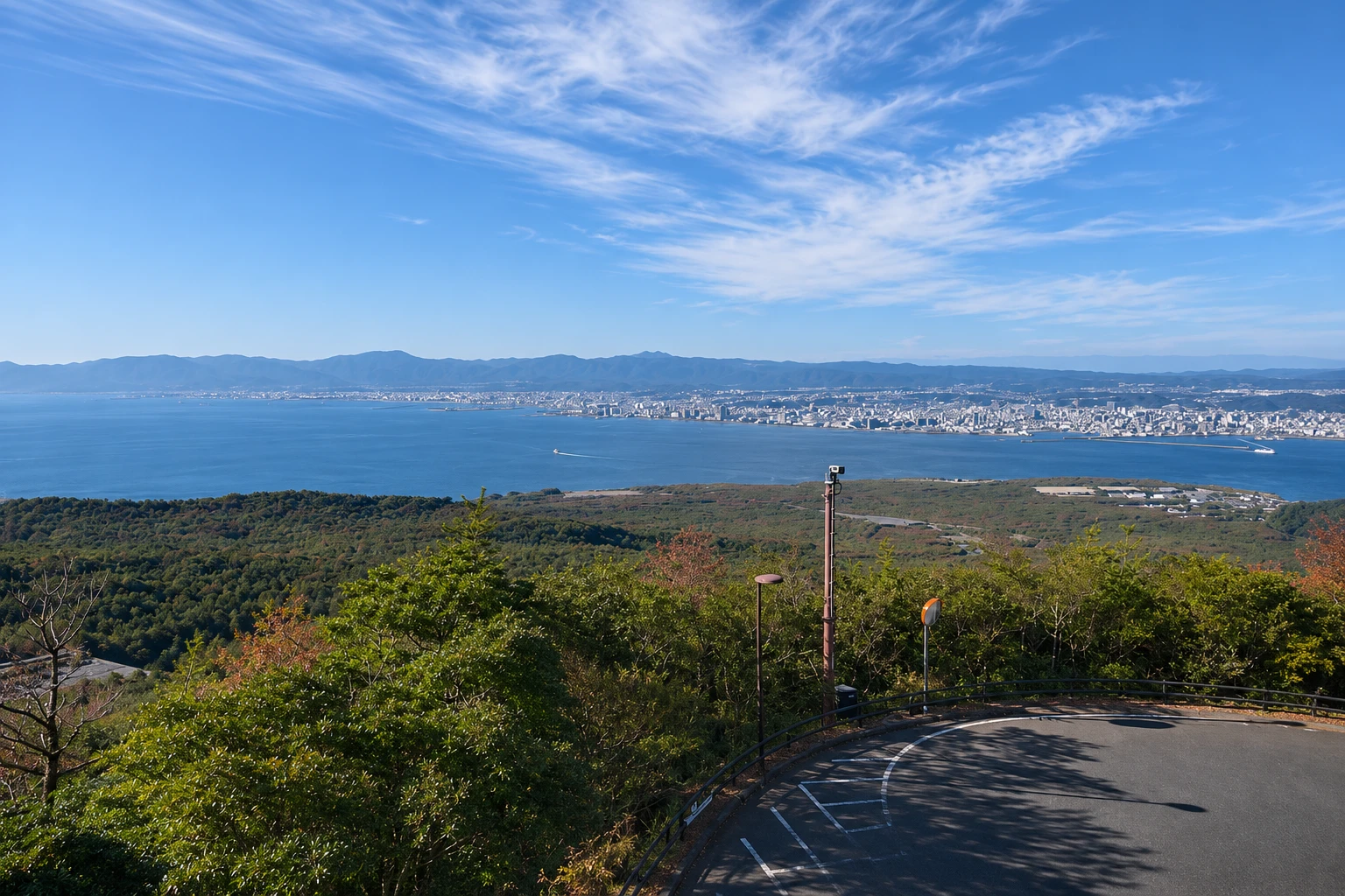
Visits begin at the port, where the ferry from Kagoshima arrives. There are the visitor center, with models and the history of the eruptions, and Nagisa Park, with a trail over the 1914 lava, pines that grew among the rocks and a long footbath facing the city. A circular bus climbs the slope to the Yunohira lookout, at about 370 meters, the highest point open to visitors, from where you can see the craters and the bay.
On the east side, in Kurokami, the stone torii of a shrine was buried by the ash of the 1914 eruption; only its top appears above ground. The road that circles the volcano, about 36 km long, passes lava fields, villages and shelters against rockfall. The island is famous for the giant Sakurajima daikon radish and the small komikan tangerines.
Approaching the craters is forbidden, and which lookouts and roads are open to the public depends on the alert level set by the Japan Meteorological Agency; check it on the day of your visit. On eruption days, the ash column is usually visible from the ferry and the city.
Before you go
Practical information
Cidade Turismo reviews its information regularly, but something may have changed. Check with the place before planning your trip.
How much time to set aside
Half a day for the port, the lava trail and the Yunohira lookout; a full day to circle the volcano to Kurokami.
Best time
In the morning, when the sky is usually clearer and the crater views sharper. From October to May the weather is drier. On days of strong wind or intense activity, some points may close; check the alert level before crossing.
How to get there
From Kagoshima Pier, near the aquarium, the ferry takes about 15 minutes to Sakurajima Port, day and night. From the port, the circular tourist bus goes up to Yunohira; there are also bicycles and cars for rent.
Tip
Combine the ferry with the circular bus, which makes short stops at the viewpoints. If you want to see Kurokami, rent a car or an electric bicycle, because the circular bus does not go around the island. Bring goggles in case of ash.
Get your questions answered
Frequently asked questions about Sakurajima
Is it safe to visit Sakurajima?
Visits to the open areas follow restrictions set by the alert level, which keep visitors away from the craters. Check the level with the Japan Meteorological Agency before you go and follow the instructions of the port and the visitor center.
How long does the ferry to Sakurajima take?
About 15 minutes. The ferry runs 24 hours, with frequent departures during the day.
What is the highest point you can visit on Sakurajima?
The Yunohira viewpoint, at about 370 meters altitude, on the northern slope. The circular tourist bus goes there from the port.
What is the buried gate of Kurokami?
It is the torii of a shrine that the ash from the 1914 eruption buried almost entirely; only the top is visible above ground. It is on the east side of the volcano, about 20 km from the port.
Can you see an eruption of Sakurajima?
The volcano releases ash several times a year, but the exact day cannot be predicted. When it happens, the ash column is seen from the city and from the ferry.
Beyond the guide


