

 Antarctica
 Argentina
 Bolivia
 Chile
 Colombia
 Ecuador
 Guyana
 French Guiana
 Falkland Islands (Malvinas)
 Paraguay
 Peru
 Suriname
 Uruguay
 Venezuela
 Germany
 Austria
 Belgium
 Croatia
 Denmark
 Slovakia
 Slovenia
 Spain
 Finland
 France
 Greece
 the Netherlands
 Hungary
 Ireland
 Iceland
 Italy
 Luxembourg
 Norway
 Poland
 Portugal
 the United Kingdom
 the Czech Republic
 Sweden
 Switzerland
 Turkey
 Bermuda
 Canada
 the United States
 Greenland
 Mexico
 Saint Pierre and Miquelon
 the Dominican Republic
 Japan
 South Africa
 Egypt
 Australia
 Fiji
 New Zealand
 Papua New Guinea
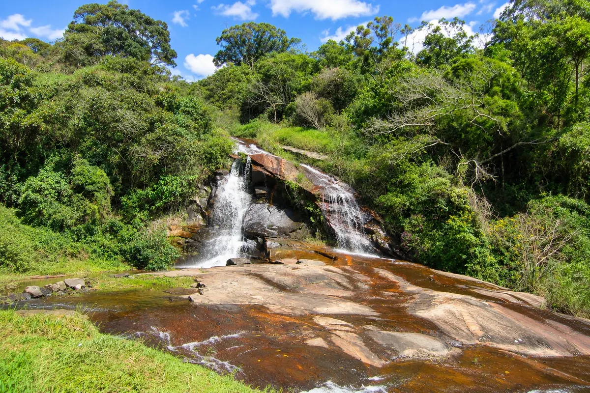
Waterfall · Cunha, SP
Mato Limpo Waterfall
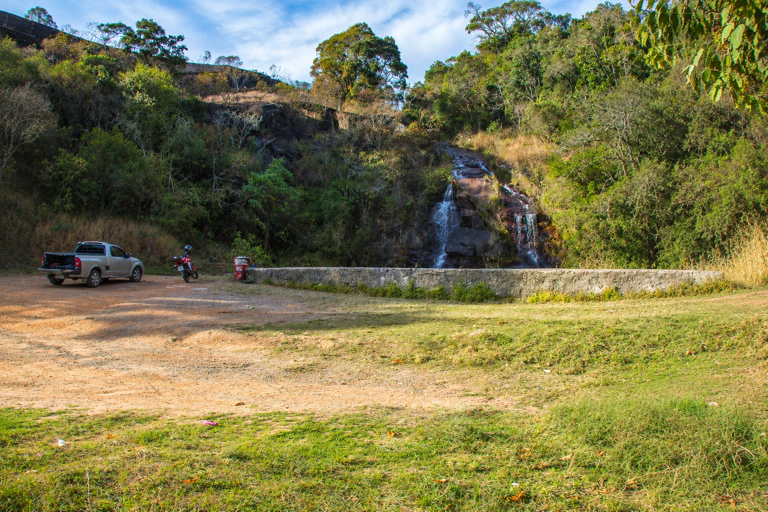
Waterfall beside the Estrada Cunha–Paraty (SP-171), on the mountain stretch near the access road to Pedra da Macela. Visible from the road itself, it’s a short photo stop on the route between Cunha and the coast.
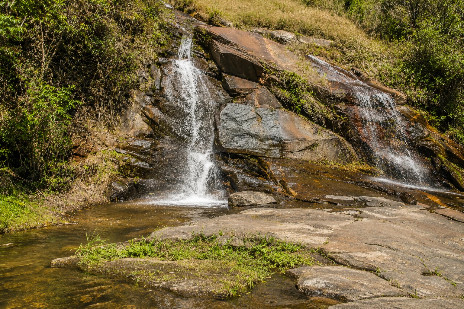
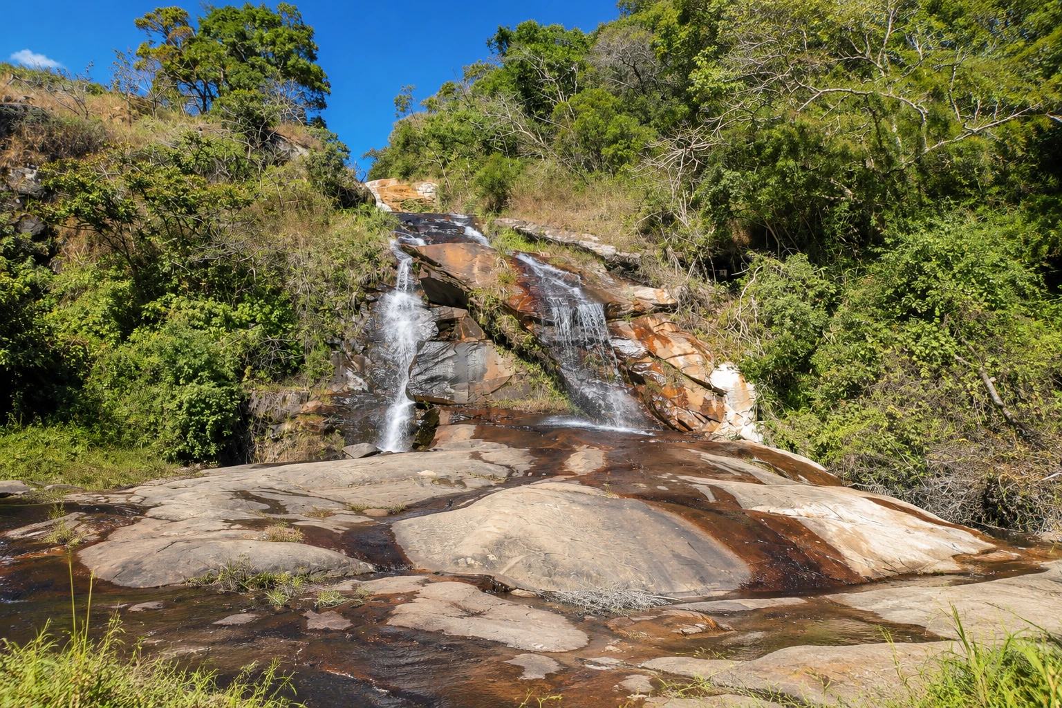
In the photo: Cachoeira do Mato Limpo and its slab of rock.
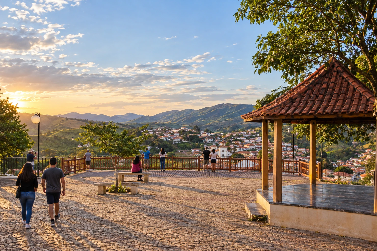
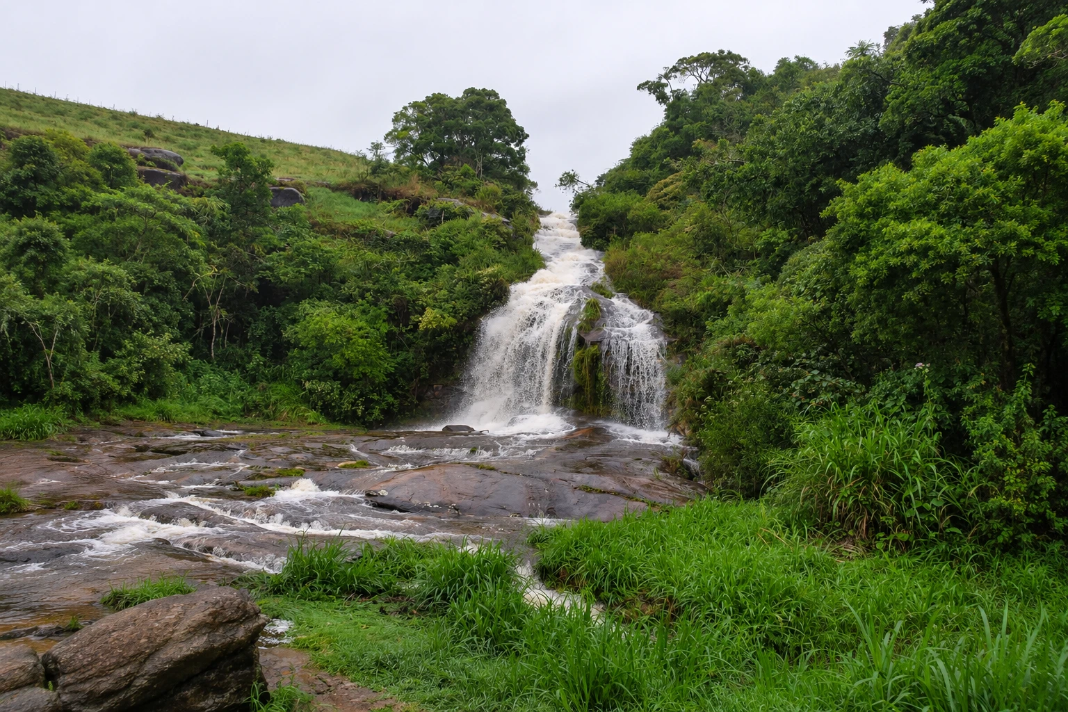
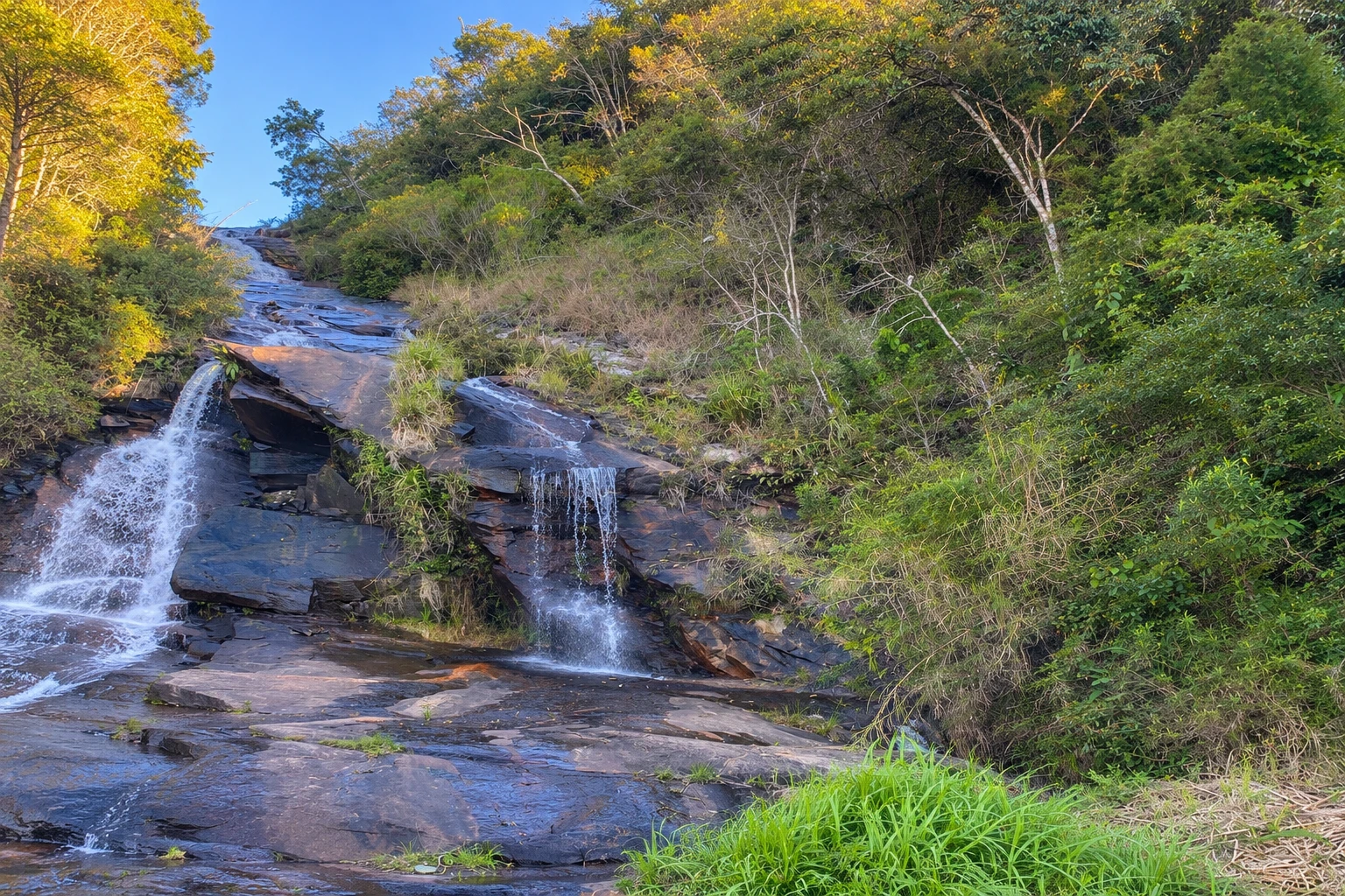
Illustrative images. The pictures in this guide are illustrations based on the real place, not photographs, and may differ from it.


A look at the place
Mato Limpo Waterfall in pictures
These pictures are illustrations based on the real place, not photographs. They may differ from the place.
Click the picture to enlarge it.
Discover
About Mato Limpo Waterfall
Cachoeira do Mato Limpo sits beside the Estrada Cunha–Paraty, the SP-171 highway, on the mountain section that leads from Cunha down to the coastal part of Rio de Janeiro state. It’s near the São Paulo–Rio de Janeiro border and a few hundred meters from the turnoff to the Pedra da Macela road, one of the region’s best-known viewpoints.
The waterfall descends the forested slope down to the road’s edge, so it can be seen without a trail. There is a lay-by in front of the fall where you can park, which makes it a quick stop for photos and to dip your feet while traveling.
It is not a large waterfall and has no facilities: there are no restrooms, snack stands, or lifeguards. You can bathe at the foot of the fall in cold mountain water, but take care on wet rocks and with traffic passing very close by.
The road itself is part of the attraction. The stretch between Cunha and Paraty crosses preserved areas of the Serra do Mar, with viewpoints, curves, and a great descent toward the sea. On the São Paulo side you’ll also find studios, lavender fields, and rural guesthouses.
The stop pairs well with the climb to Pedra da Macela, already near the boundary of Serra da Bocaina National Park, and with a visit to Cunha’s center, known for its high-temperature ceramics.
Before you go
Practical information
Cidade Turismo reviews its information regularly, but something may have changed. Check with the place before planning your trip.
How much time to set aside
15 to 30 minutes for the stop and photos.
Best time
On clear days from April to September, when there is less rain in the mountains and the road usually has better visibility; after the summer rains (December–March) the waterfall tends to have more water. Avoid stopping in heavy fog.
How to get there
From downtown Cunha, follow the Estrada Cunha–Paraty (SP-171) toward the Rio de Janeiro state border. The waterfall is right by the road, near the turnoff to Pedra da Macela, with a lay-by to park in front. Go by car; there is no regular transport that stops there.
Tip
Park only in the lay-by, off the carriageway, and cross carefully: the highway has curves and limited visibility. Combine the stop with Pedra da Macela, preferably early, before the afternoon fog.
Get your questions answered
Frequently asked questions about Mato Limpo Waterfall
Where is Cachoeira do Mato Limpo located?
By the Estrada Cunha–Paraty (SP-171), on the mountain stretch near the Rio de Janeiro state border and the access road to Pedra da Macela.
Do you need to hike to see Cachoeira do Mato Limpo?
No. The fall is visible from the road itself, and there is a lay-by in front to park.
Can you swim at Cachoeira do Mato Limpo?
You can enter the water at the foot of the fall, which is cold. Be careful on wet rocks and with cars passing very close. There are no facilities on site.
What to do near Cachoeira do Mato Limpo?
Pedra da Macela, one of the highest viewpoints in the region, is very close. Along the same road you’ll find studios, lavender fields, and viewpoints of the Serra do Mar.
Beyond the guide


