

 Antarctica
 Argentina
 Bolivia
 Chile
 Colombia
 Ecuador
 Guyana
 French Guiana
 Falkland Islands (Malvinas)
 Paraguay
 Peru
 Suriname
 Uruguay
 Venezuela
 Germany
 Austria
 Belgium
 Croatia
 Denmark
 Slovakia
 Slovenia
 Spain
 Finland
 France
 Greece
 the Netherlands
 Hungary
 Ireland
 Iceland
 Italy
 Luxembourg
 Norway
 Poland
 Portugal
 the United Kingdom
 the Czech Republic
 Sweden
 Switzerland
 Turkey
 Bermuda
 Canada
 the United States
 Greenland
 Mexico
 Saint Pierre and Miquelon
 the Dominican Republic
 Japan
 South Africa
 Egypt
 Australia
 Fiji
 New Zealand
 Papua New Guinea
Park · Pirenópolis, GO
Pireneus State Park
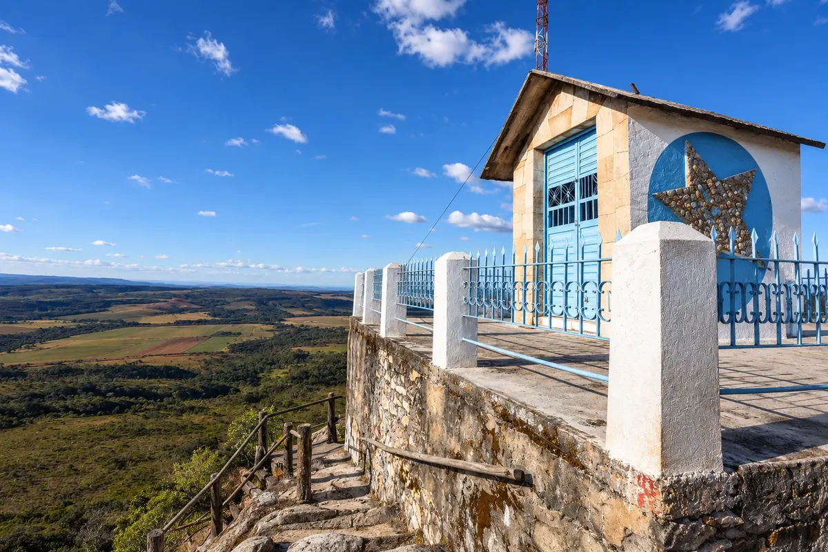
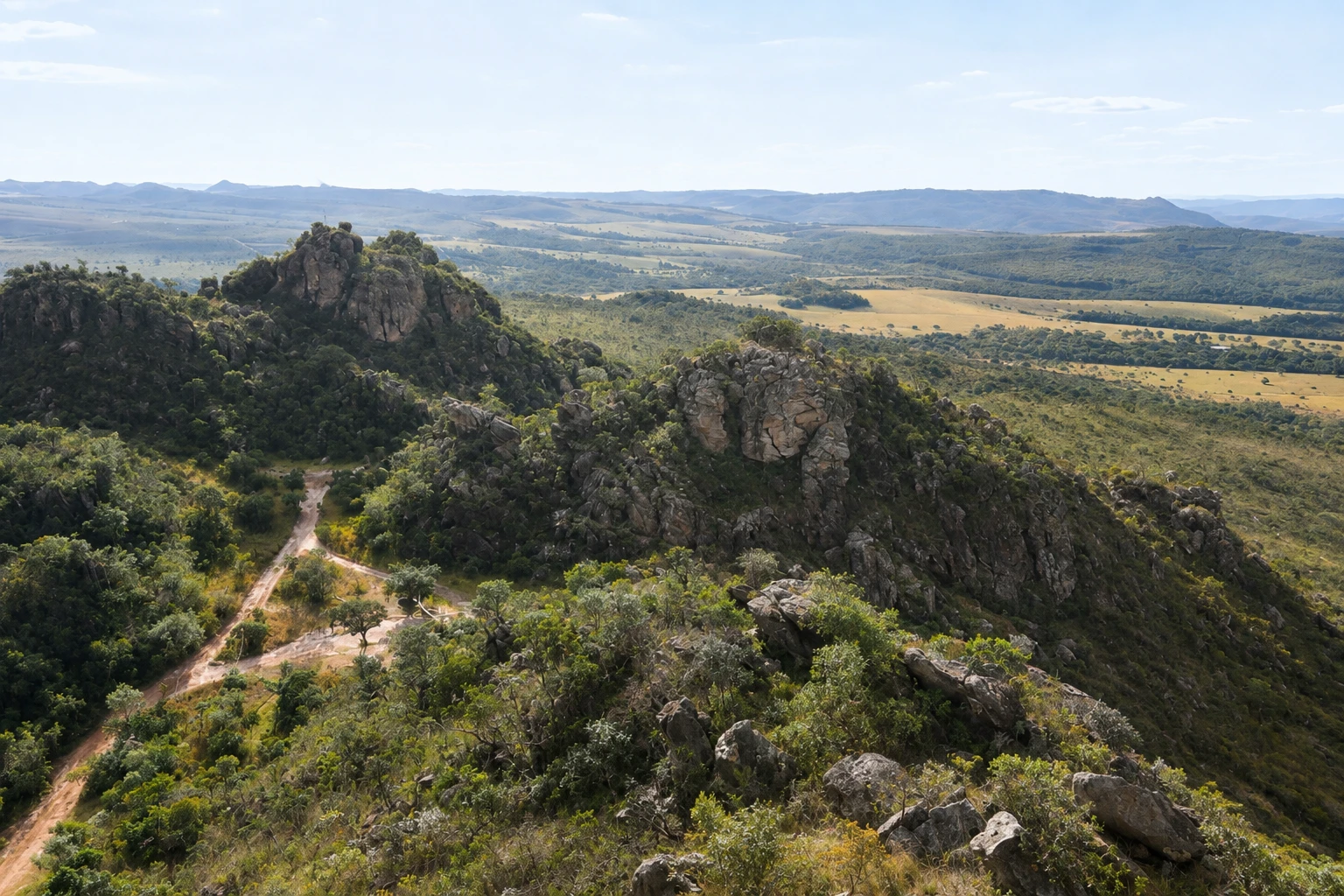
Serra dos Pireneus State Park, about 20 km from Pirenópolis, created in 1987. The highlight is Pico dos Pireneus, at 1,385 meters, with a chapel on the summit offering views of the mountain range and the cerrado in all directions.
In the photo: Chapel of the Holy Trinity on Pico dos Pireneus, with views over the cerrado valleys.
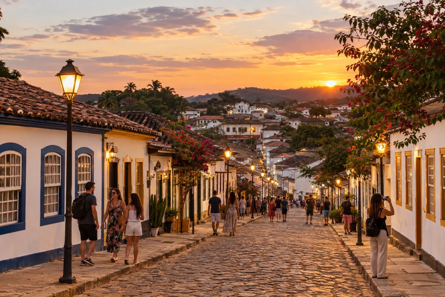
Illustrative images. The pictures in this guide are illustrations based on the real place, not photographs, and may differ from it.


A look at the place
Pireneus State Park in pictures
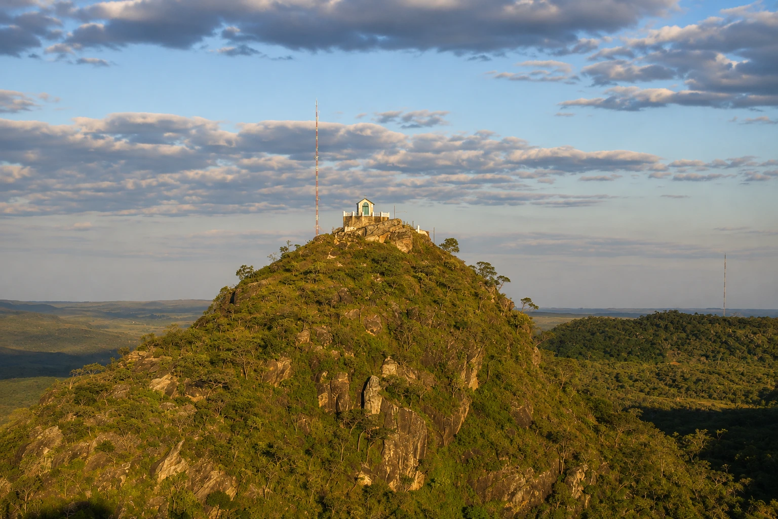
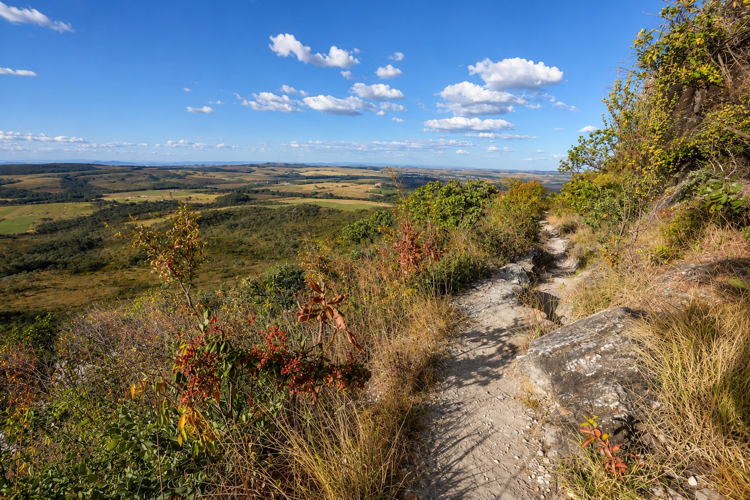
These pictures are illustrations based on the real place, not photographs. They may differ from the place.
Click the picture to enlarge it.
Discover
About Pireneus State Park
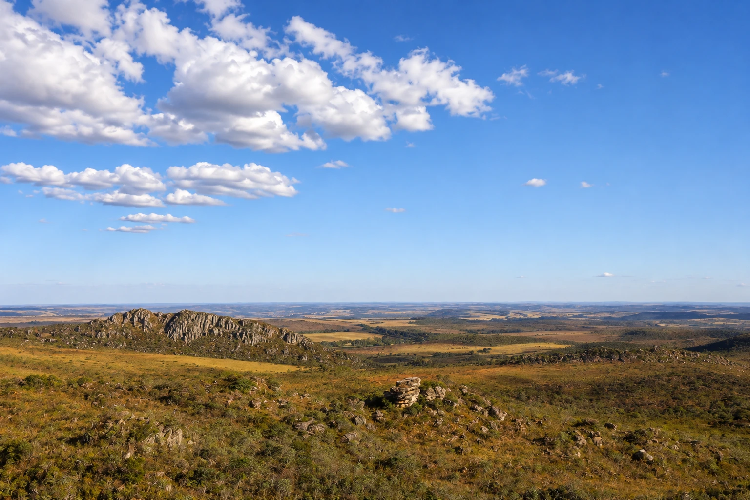
The Pireneus State Park protects the high Serra dos Pireneus, about 20 km from downtown Pirenópolis. Created by the Goiás state government in 1987, it covers a mountain area of high-altitude cerrado, with campos, quartzite outcrops, springs and small streams.
The park’s best-known spot is Pico dos Pireneus. At 1,385 meters, it is the second-highest point in Goiás. From the parking area, a trail of about 600 meters, with a short climb and some rocky sections, leads to the summit in roughly 15 minutes. Up there, the view opens 360 degrees over the range, the valleys and, on clear days, the nearby towns.
On the summit is the Chapel of the Holy Trinity. Devotion atop the hill is old: the first Mass on the peak was celebrated in 1927 at an improvised altar, and later a masonry chapel was built. Every year, on the full moon of July, pilgrims climb the mountain for the Feast of the Holy Trinity, a tradition nearly a century old.
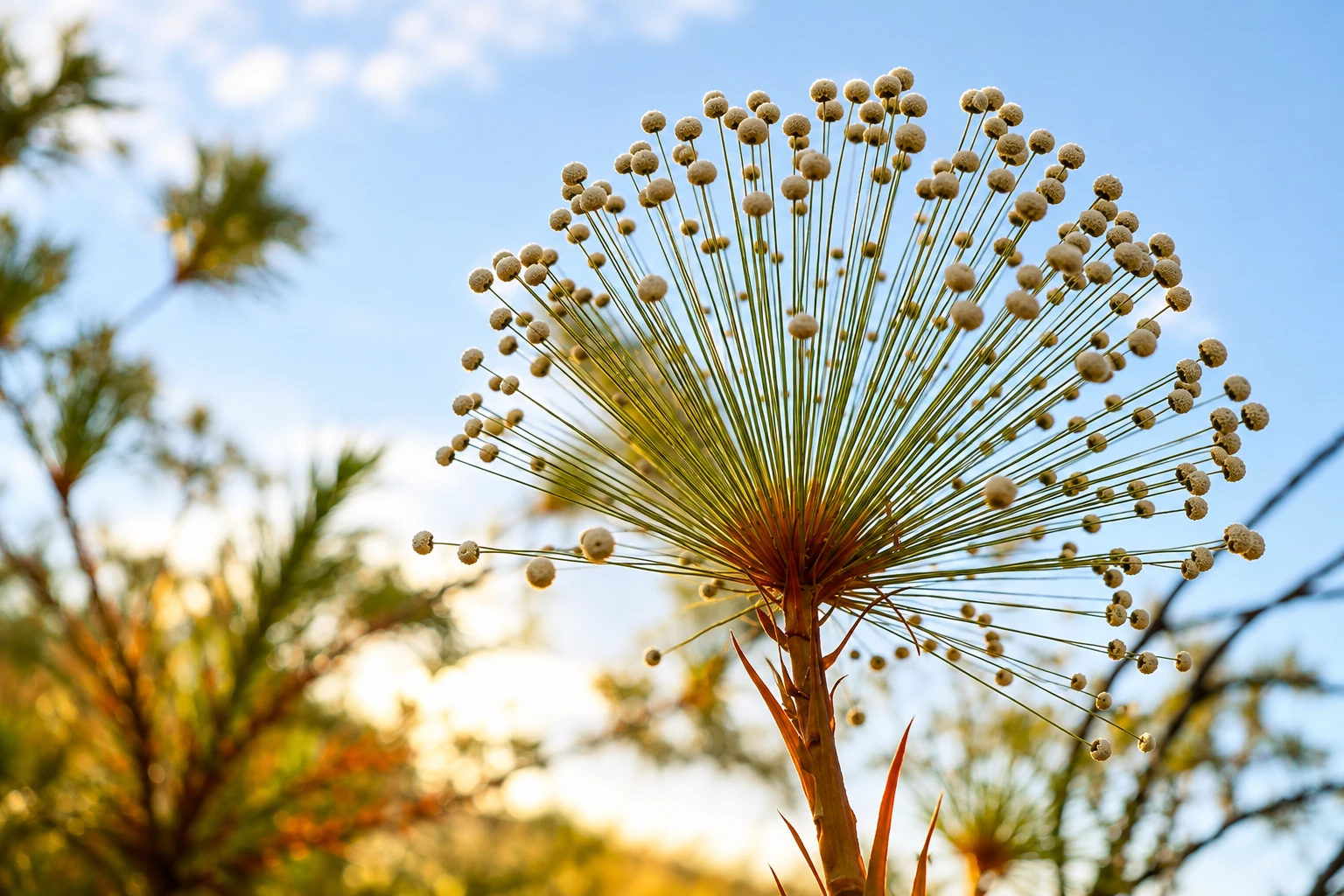
The road to the peak is a dirt road that leaves Pirenópolis and crosses the range. Along it you find rock formations, viewpoints and stretches of campo rupestre with cerrado flowers that change with the seasons.
The park lies between the municipalities of Pirenópolis, Cocalzinho de Goiás and Corumbá de Goiás. Pirenópolis is the most common base for visits, with local guides who offer trips to the peak, to watch the sunset and to the range’s trails.
Before you go
Practical information
Cidade Turismo reviews its information regularly, but something may have changed. Check with the place before planning your trip.
How much time to set aside
Half a day, including the drive from Pirenópolis on the dirt road and the ascent to the peak. If you want to do other trails in the range, plan a full day.
Best time
From May to September, the dry season, the dirt road is firmer and the sky is usually clearer for the view. From October to April it rains more, and clouds can cover the peak; the road may become slippery. Late afternoon is popular for the light over the range. In July, on the full moon, the Holy Trinity pilgrimage takes place and visitor numbers rise.
How to get there
From Pirenópolis, follow Rodovia Municipal Parque dos Pireneus, a dirt road that climbs the range for about 20 km to the parking area near the peak. In the dry season, an ordinary car usually passes with care; in the rainy season, prefer a high-clearance vehicle or a tour with a local guide. From the parking area, continue on foot along the roughly 600-meter trail to the summit.
Tip
Bring a jacket, water and sunscreen: it’s windy on the summit and the sun is strong. If you go to see the sunset, descend with a flashlight and allow enough time to drive the dirt road in the dark, or go with a local guide. Check the park’s visitation rules in advance.
Official website
Get your questions answered
Frequently asked questions about Pireneus State Park
How high is Pico dos Pireneus?
1,385 meters. It is the second-highest point in Goiás, according to the state government.
How long is the trail to Pico dos Pireneus?
From the parking area the trail is about 600 meters and takes around 15 minutes, with a short climb and some rocky sections.
How far is Pirenópolis from Pireneus State Park?
About 20 km, by a dirt road that climbs the range. In the rainy season, a high-clearance vehicle or a guided tour is recommended.
When is the festival at Pico dos Pireneus?
The Holy Trinity pilgrimage takes place every year on the full moon of July, when pilgrims climb the range to the chapel on the summit.
Can you watch the sunset from Pico dos Pireneus?
The peak is popular in late afternoon for its views of the range. On cloudy days, clouds can cover the summit. Descend with a flashlight and be cautious on the dirt road.
Beyond the guide


