

 Antarctica
 Argentina
 Bolivia
 Chile
 Colombia
 Ecuador
 Guyana
 French Guiana
 Falkland Islands (Malvinas)
 Paraguay
 Peru
 Suriname
 Uruguay
 Venezuela
 Germany
 Austria
 Belgium
 Croatia
 Denmark
 Slovakia
 Slovenia
 Spain
 Finland
 France
 Greece
 the Netherlands
 Hungary
 Ireland
 Iceland
 Italy
 Luxembourg
 Norway
 Poland
 Portugal
 the United Kingdom
 the Czech Republic
 Sweden
 Switzerland
 Turkey
 Bermuda
 Canada
 the United States
 Greenland
 Mexico
 Saint Pierre and Miquelon
 the Dominican Republic
 Japan
 South Africa
 Egypt
 Australia
 Fiji
 New Zealand
 Papua New Guinea
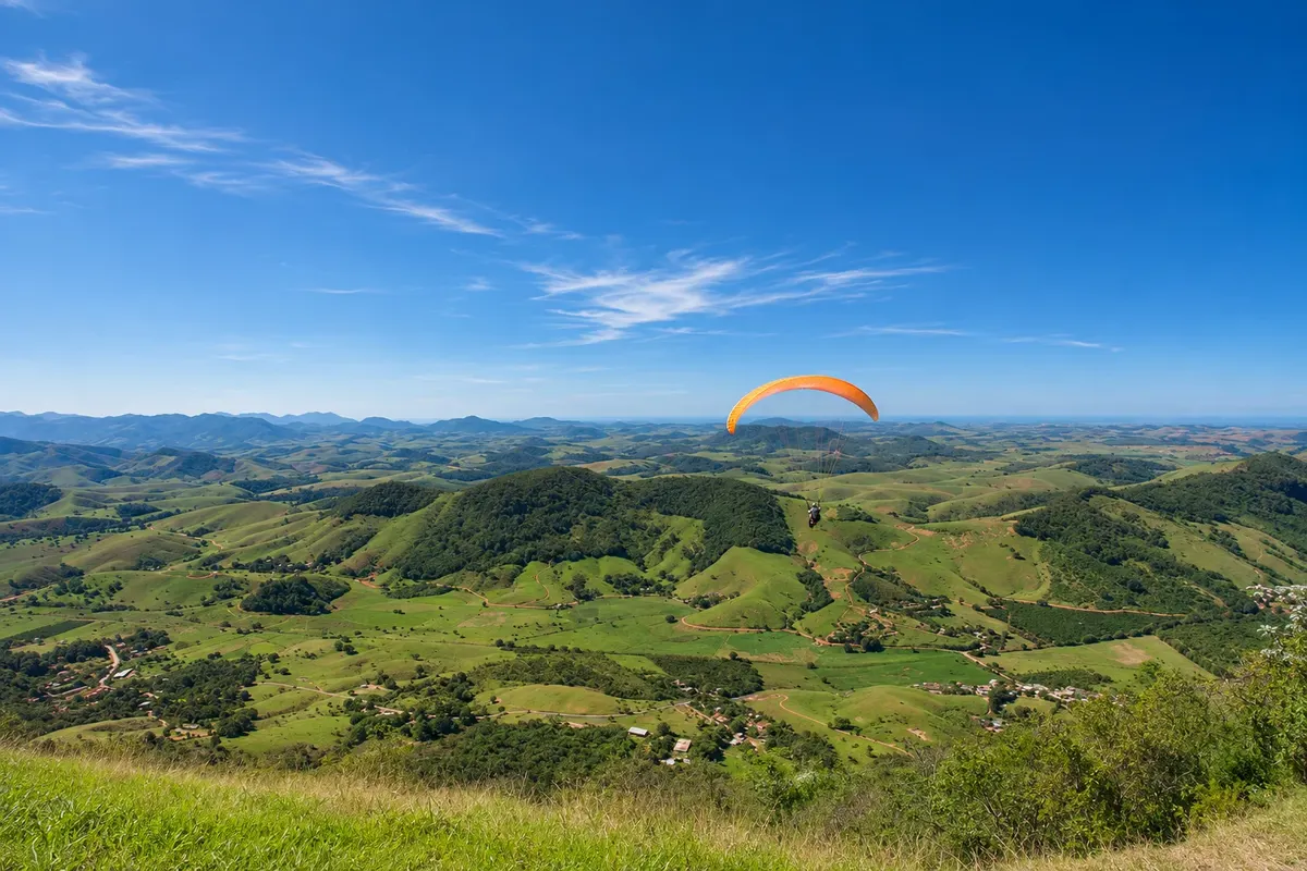
Free flight ramp · Alfredo Chaves, ES
Cachoeira Alta free flight ramp
Paraglider and hang glider launch site in the Alfredo Chaves mountain range, at the locality of Cachoeira Alta, about 450 meters above sea level. Hosts stages of the Espírito Santo championship and national meetups, and offers tandem flights with instructors.
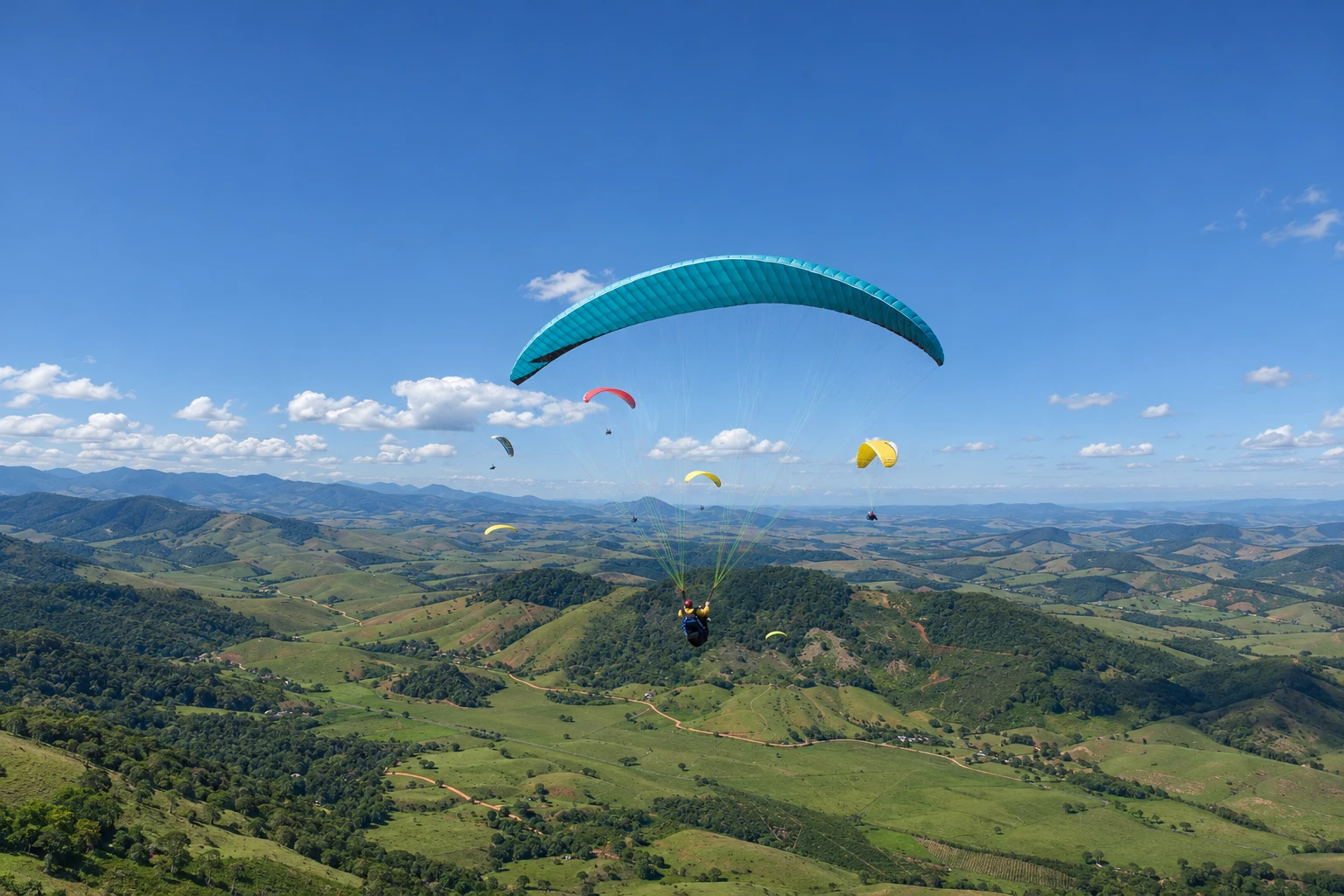
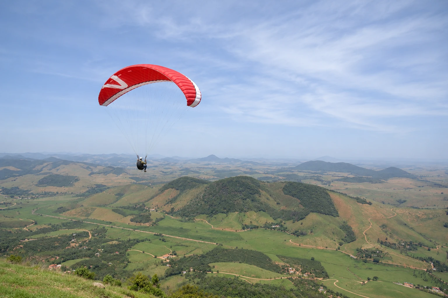
In the photo: Paragliding over the valley as seen from the Cachoeira Alta ramp in Alfredo Chaves.
Illustrative images. The pictures in this guide are illustrations based on the real place, not photographs, and may differ from it.


A look at the place
Cachoeira Alta free flight ramp in pictures
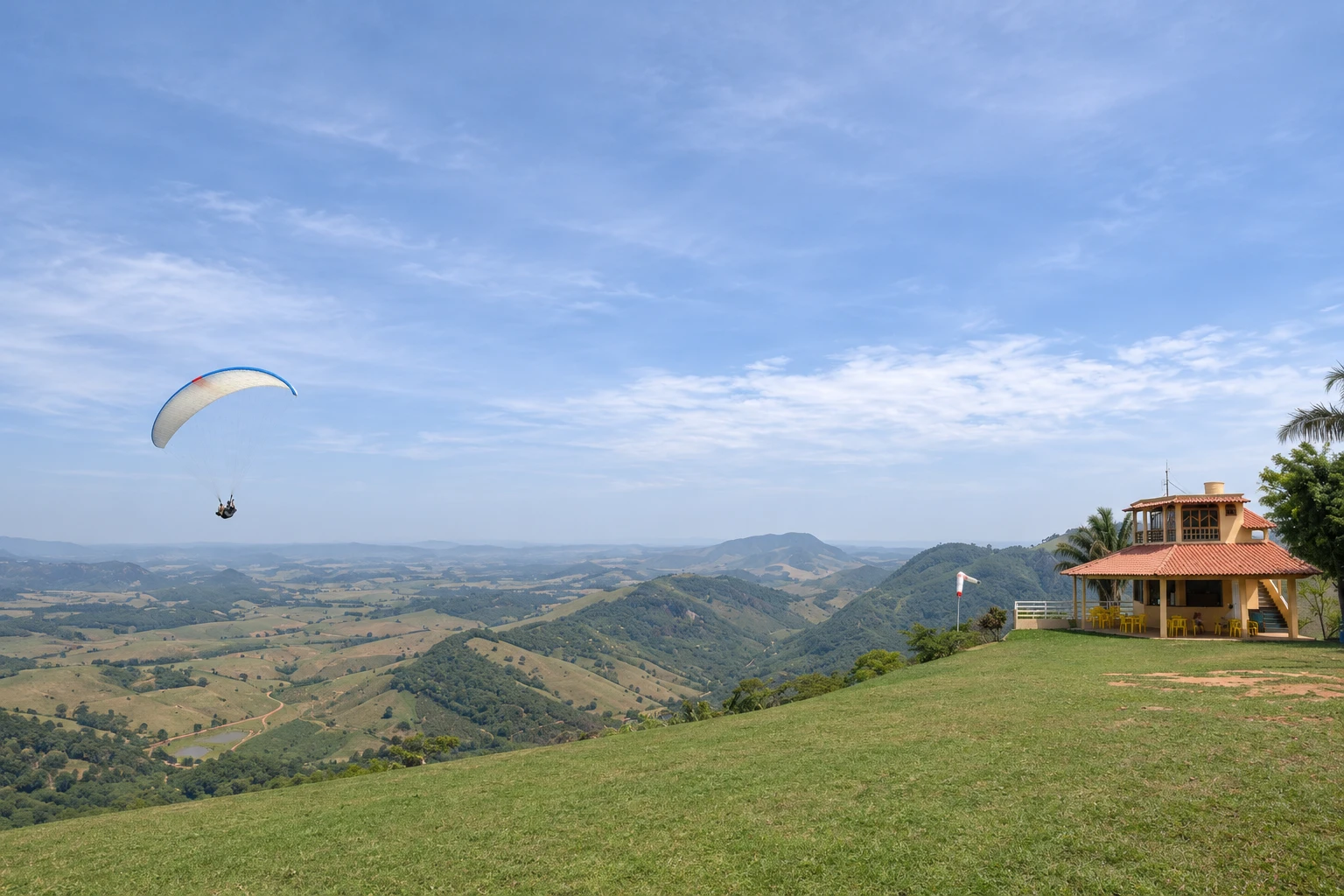
These pictures are illustrations based on the real place, not photographs. They may differ from the place.
Click the picture to enlarge it.
Discover
About Cachoeira Alta free flight ramp
The Cachoeira Alta free-flying launch site sits in the Alfredo Chaves mountain range, in the Montanhas Capixabas, a few kilometers from the town center. It is the main paraglider and hang glider launch site in Espírito Santo and one of the best known in the Southeast.
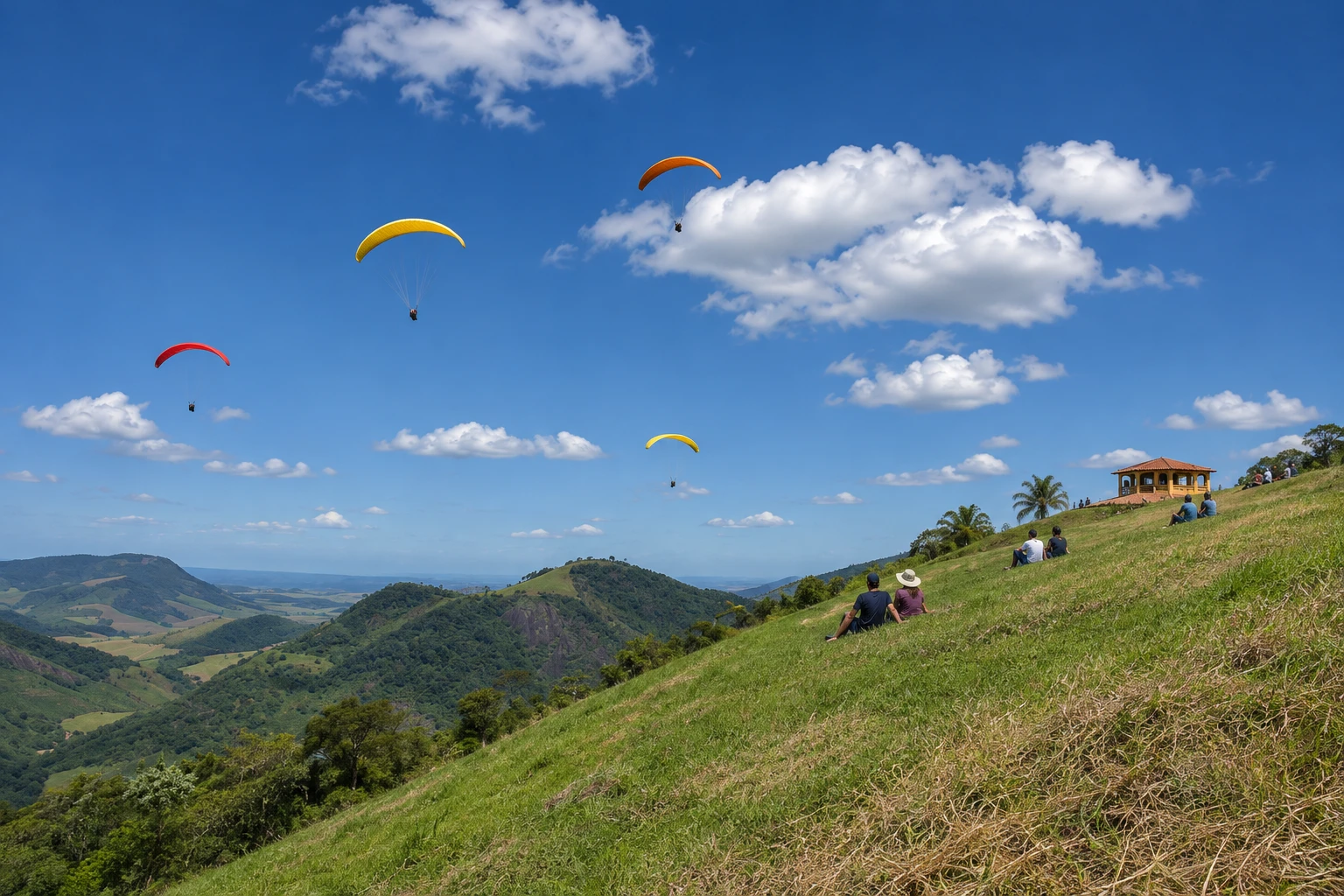
The takeoff is at about 450 meters altitude, on a wide grassy slope facing the valley, with room for several simultaneous launches. Below are the Vale do Rio Benevente, farmland and hills covered in Atlantic Forest. The official landing area is in the valley, near the locality of Cachoeira Alta.
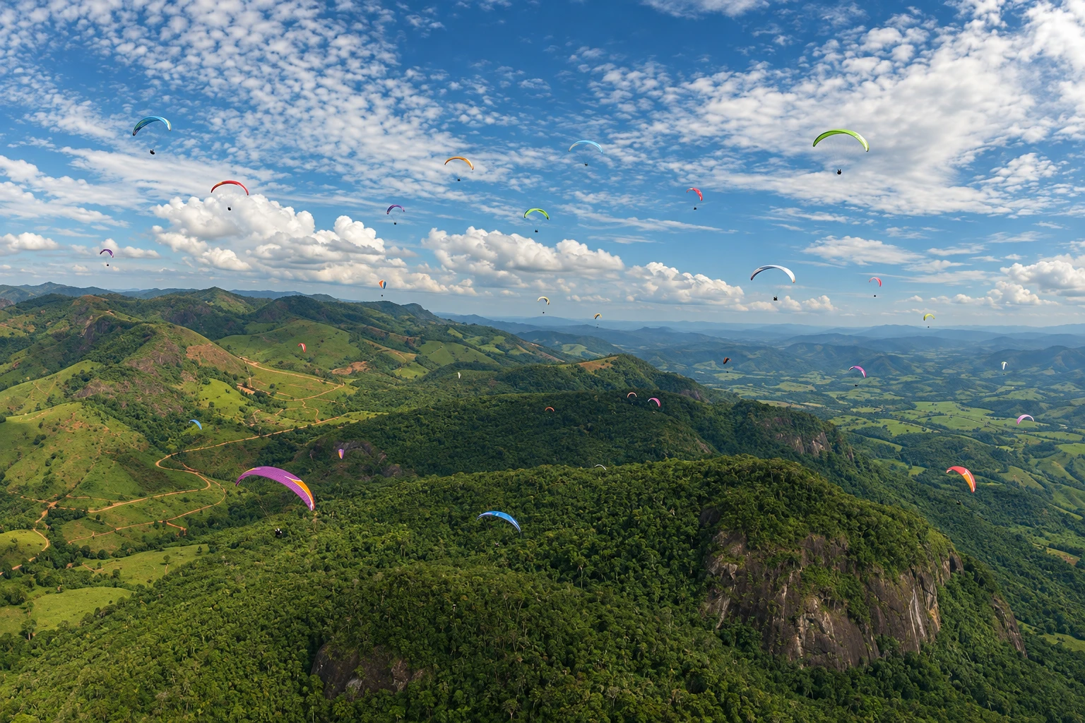
The thermal conditions attract pilots from many parts of the country. The ramp hosts stages of the Campeonato Capixaba de Voo Livre and paraglider meetups that gather more than a hundred pilots; competitions depend on weather conditions and may be postponed.
Non-pilots can fly tandem, accompanied by a certified instructor, offered by local schools and associations. It’s also possible to go up only to watch the launches and enjoy the view from the top, a good addition to an adventure itinerary in Alfredo Chaves.
The town is known as an adventure tourism destination, with waterfalls, trails and other outdoor sports. Cachoeira de Matilde and the old train station in the district of Matilde are in the same municipality.
Before you go
Practical information
Cidade Turismo reviews its information regularly, but something may have changed. Check with the place before planning your trip.
How much time to set aside
Half a day to go up, watch launches or do a tandem flight; time in the air varies according to the wind.
Best time
On sunny days with moderate wind, more common from April to September, when there is less rain. Flights depend on weather conditions and can be canceled with strong wind, low clouds or rain.
How to get there
From Alfredo Chaves center, follow local roads to the ramp in Cachoeira Alta, about five kilometers away, with the final stretch on a signposted dirt road. Tandem passengers usually have transport to the ramp arranged with the flight school.
Tip
Take a tandem flight only with a certified instructor and book the date with flexibility, because flights depend on the wind. Bring a light jacket and sunscreen, since it can be windy on the ramp and the sun is strong.
Get your questions answered
Frequently asked questions about Cachoeira Alta free flight ramp
Where is the Alfredo Chaves free-flying ramp located?
At the locality of Cachoeira Alta, in the Alfredo Chaves mountain range, about five kilometers from the town center. The takeoff is at about 450 meters altitude, and the final access is via a signposted dirt road.
Can you paraglide in Alfredo Chaves without being a pilot?
Yes, in a tandem flight with a certified instructor. Local schools and associations offer tandem flights, which depend on the day’s wind and weather conditions.
When is the season to fly in Alfredo Chaves?
From April to September there is less rain and sunny days with moderate wind are more common. At any time of year, flights can be canceled due to strong wind, low clouds or rain.
Does the Cachoeira Alta ramp host competitions?
Yes. The ramp hosts stages of the Campeonato Capixaba de Voo Livre and paraglider meetups with pilots from different parts of Brazil. Competitions depend on the weather and may be postponed.
Beyond the guide


