
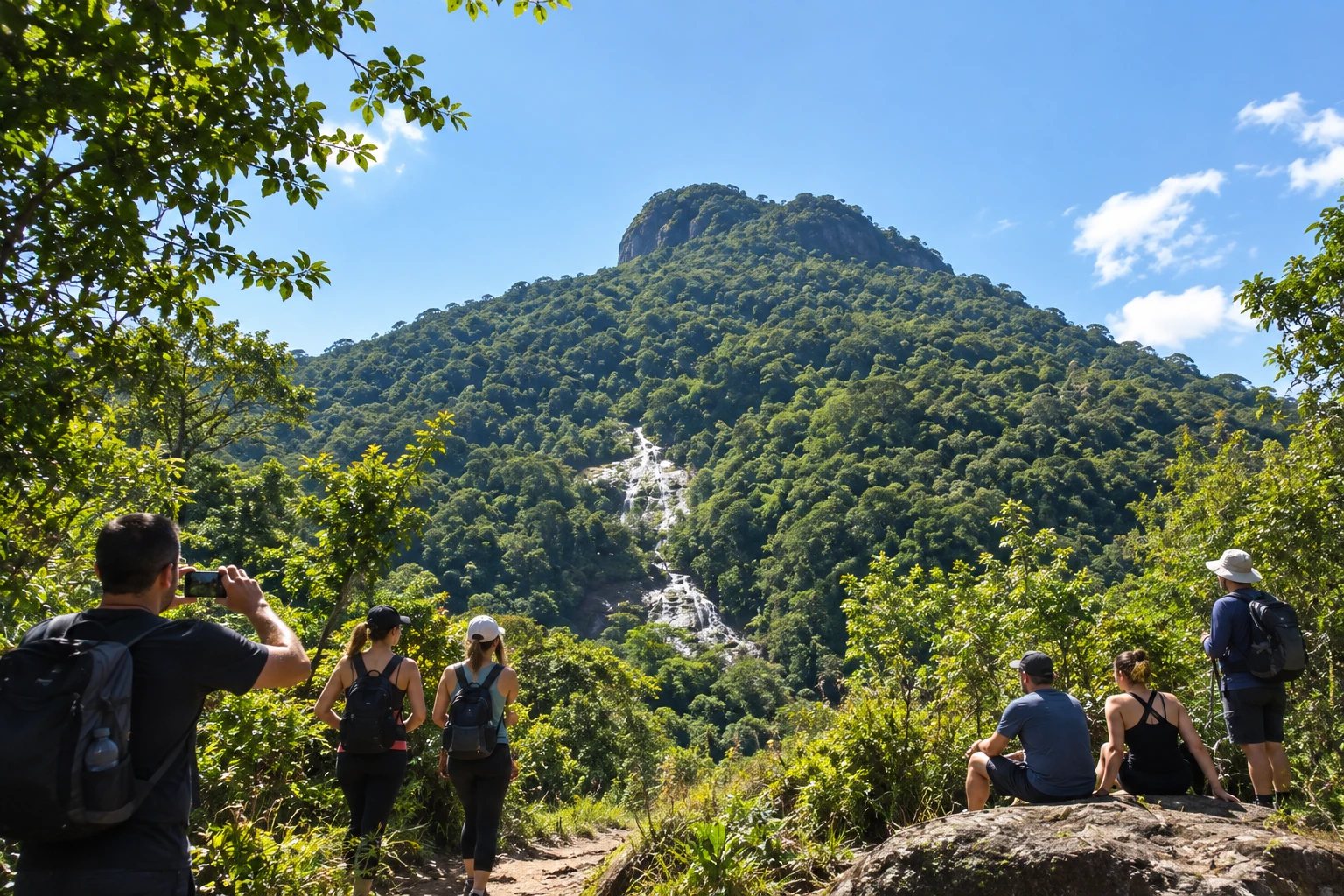
park · Ilhota, SC
Morro do Baú
At 819 meters above sea level, it is one of the highest points in the region and home to a park created in 1961 by the priest and botanist Raulino Reitz, now run by the town. The trail to the summit crosses Atlantic Forest and reveals views all the way to the coast.
Illustrative images. The pictures in this guide are illustrations based on the real place, not photographs, and may differ from it.
Discover
About Morro do Baú
Morro do Baú (mountain) is the best-known mountain in Ilhota, in the Vale do Itajaí. At 819 meters above sea level, it has a block-shaped rocky summit that looks like a chest (baú) and stands out in the scenery of several towns in the region. It is in the rural area, near the border with Luiz Alves, and covered in well-preserved Atlantic Forest.
In the second half of the 20th century, the priest and botanist Raulino Reitz bought land from farmers on the slopes to create the Parque Botânico Morro do Baú, one of the first Atlantic Forest protected areas in Santa Catarina. In November 2008, the rains that hit the Vale do Itajaí caused serious landslides around the mountain, but the forested upper slopes held. In 2015, the Ilhota town hall created the Parque Natural Municipal Morro do Baú by decree.
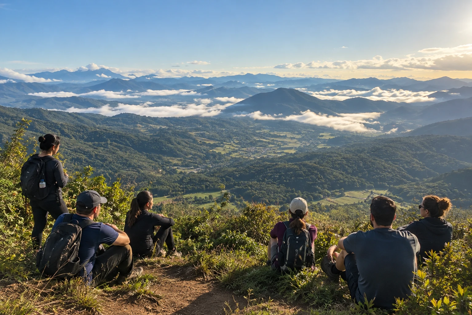
The main activity is the trail to the summit, about 4 km uphill through the forest. The start is easy, but the final stretch is steep and technical, with uneven rock steps and roots where you need to use your hands. At the top, the view is almost 360 degrees: green valleys, surrounding mountains and, on clear days, the coast. Near the starting point there is a waterfall to cool off on the way back.
It is an outing for people who are fit and have some hiking experience. The climb and descent take up a good part of the day, and the ground gets slippery after rain. It is not recommended for small children or people with reduced mobility.
Before you go
Practical information
How much time to set aside
Set aside the whole day: the climb and descent add up to several hours, plus rest time at the summit.
Best time
In the drier, cooler months, between fall and early spring, setting out early in the morning to climb before the heat and catch the clearest sky at the top.
How to get there
The starting point is in the rural area of Ilhota, near the border with Luiz Alves, at the parking lot of the former Parque Botânico headquarters. Coming from the coast, take the BR-470 and then the SC-414 toward Luiz Alves; the final stretch is on country roads. You need a car, because there is no public transportation to the base.
Tip
Go with a guide or someone who knows the trail, bring water, snacks and a flashlight, and do not climb on rainy days: the final stretch, with rocks and roots, gets dangerous when wet.
A look at the place
Morro do Baú in pictures
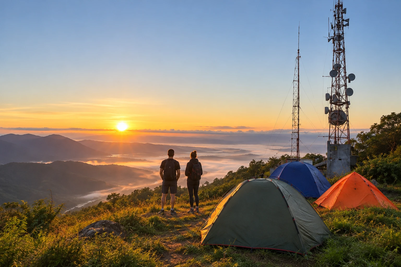
These pictures are illustrations based on the real place, not photographs. They may differ from the place.
Click the picture to enlarge it.
Get your questions answered
Frequently asked questions about Morro do Baú
How high is Morro do Baú?
The summit of Morro do Baú, in Ilhota (SC), is 819 meters above sea level.
Is the Morro do Baú trail hard?
It is about 4 km uphill. The start is easy, but the final stretch is steep, with rocks and roots where you need to use your hands. It requires fitness and hiking experience.
What can you see from the top of Morro do Baú?
The view is almost 360 degrees, with the valleys and mountains of the Vale do Itajaí and, on clear days, the coast.
Where is Morro do Baú?
In the countryside of Ilhota, in the Vale do Itajaí, near the border with Luiz Alves. The trail starts at the parking lot of the former Parque Botânico headquarters, and you get there by car.
Do I need a guide to climb Morro do Baú?
It is best to go with a guide or someone who knows the trail, especially the first time, and to avoid rainy days, when the final stretch gets slippery.