

 Brazil
 Antarctica
 Argentina
 Bolivia
 Chile
 Colombia
 Ecuador
 Guyana
 French Guiana
 Falkland Islands (Malvinas)
 Paraguay
 Peru
 Suriname
 Uruguay
 Venezuela
 Germany
 Austria
 Belgium
 Croatia
 Denmark
 Slovakia
 Slovenia
 Spain
 Finland
 France
 Greece
 the Netherlands
 Hungary
 Ireland
 Iceland
 Italy
 Luxembourg
 Norway
 Poland
 Portugal
 the United Kingdom
 the Czech Republic
 Sweden
 Switzerland
 Turkey
 Bermuda
 Canada
 the United States
 Greenland
 Mexico
 Saint Pierre and Miquelon
 the Dominican Republic
 South Africa
 Egypt
 Australia
 Fiji
 New Zealand
 Papua New Guinea
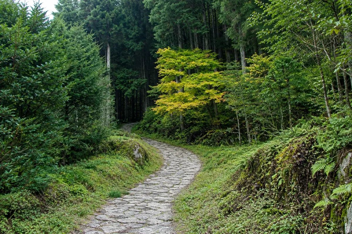
Trail · Nakatsugawa, Gifu
Nakasendō Trail between Magome and Tsumago
A stretch of about 8 km of the old Nakasendo road, which climbs to the Magome pass and descends through forests, waterfalls and farmhouses to Tsumago, in about 3 hours.
Illustrative images. The pictures in this guide are illustrations based on the real place, not photographs, and may differ from it.

A look at the place
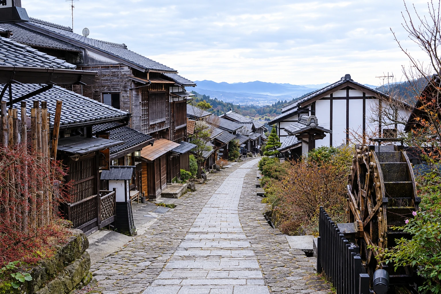
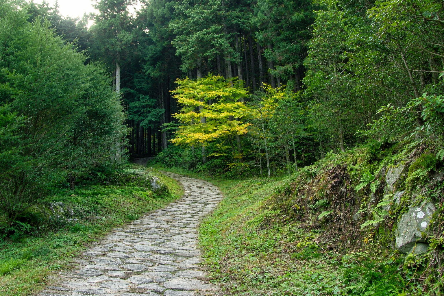
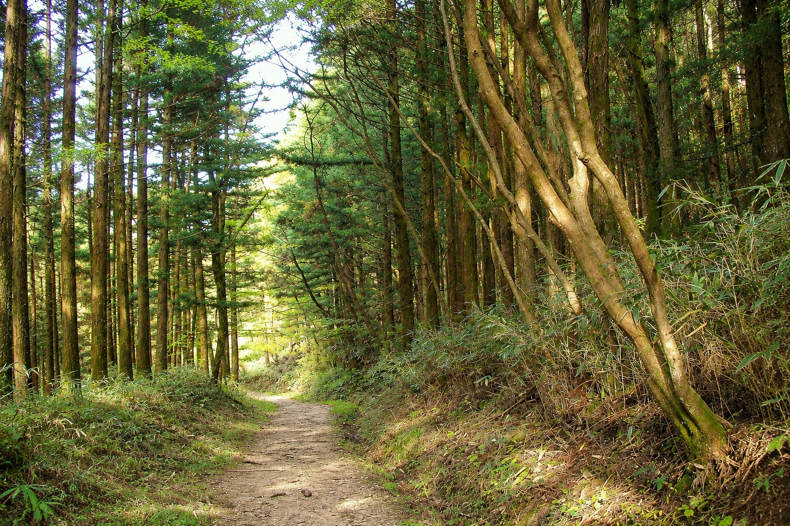
Nakasendō Trail between Magome and Tsumago in pictures
These pictures are illustrations based on the real place, not photographs. They may differ from the place.
Click the picture to enlarge it.
Discover
About Nakasendō Trail between Magome and Tsumago
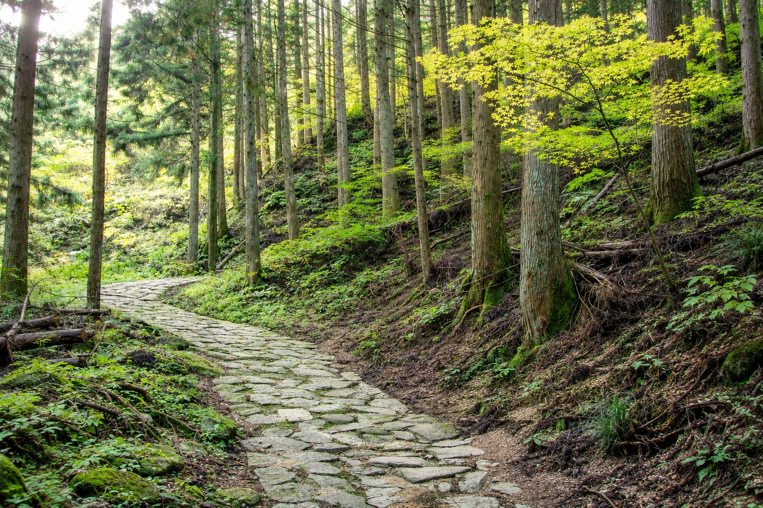
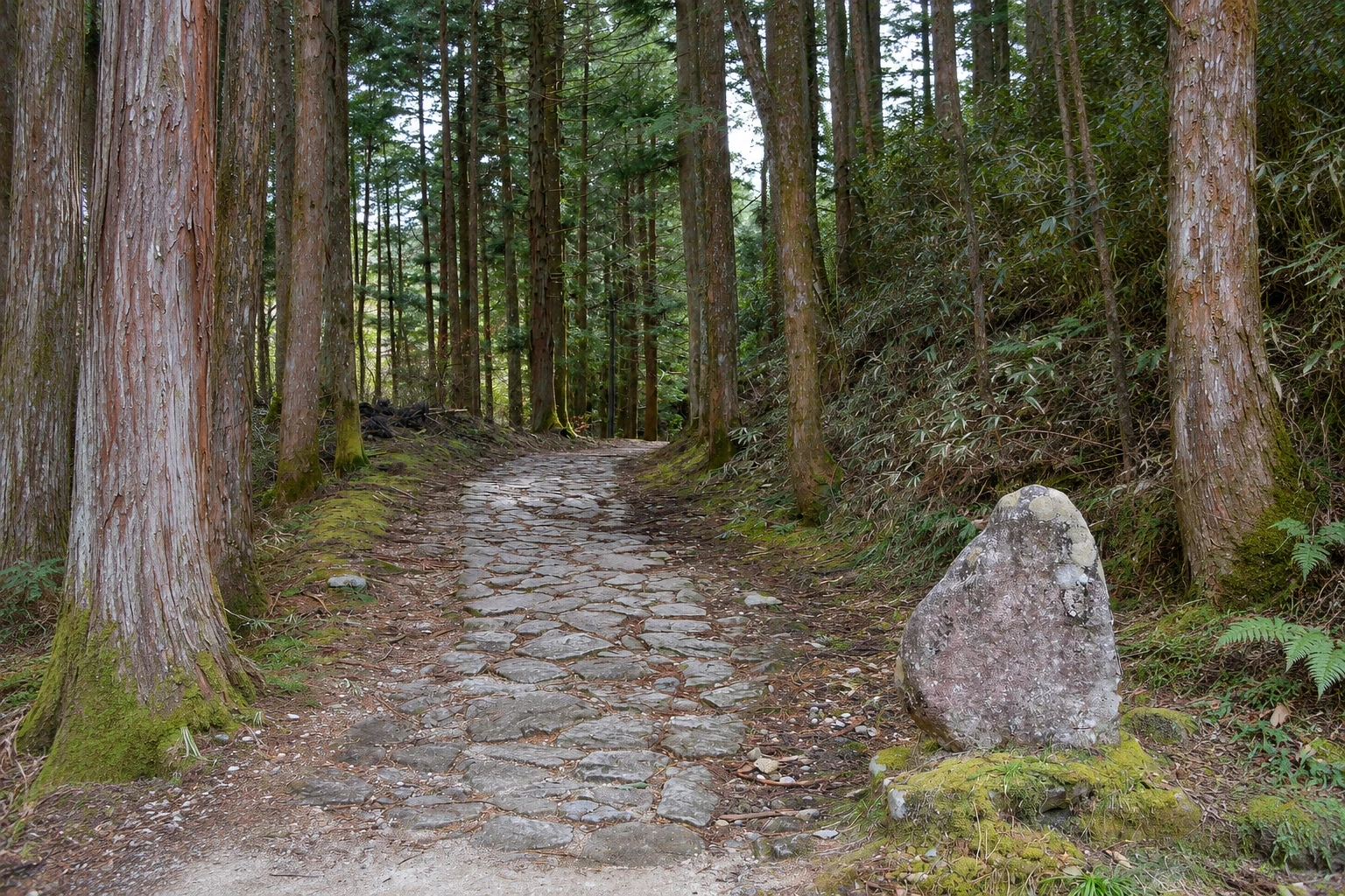
The trail between Magome and Tsumago follows a well-preserved section of the Nakasendo, the Edo-period route between Edo and Kyoto through the interior. It is about 8 km, with stretches of old stone paving, forest dirt paths and some passages along rural roads. The highest point is the Magome pass, at about 800 meters altitude, on the border between Gifu and Nagano.
Leaving Magome, the climb to the pass is short, about an hour, passing farmhouses and fields. From the pass the path descends through cedar and Japanese cypress forests, crossing streams. Midway is the Tateba teahouse, an old house where volunteers often offer tea to walkers and talk about the road.
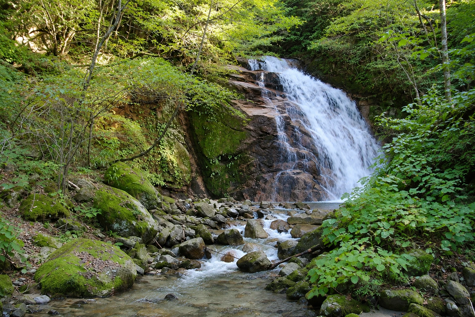
Further on, the Odaki and Medaki waterfalls, the “male waterfall” and the “female waterfall,” fall side by side in a valley, linked to a passage in Eiji Yoshikawa’s novel about the swordsman Miyamoto Musashi. The route continues through small hamlets, like Ichikokutochi, until it reaches Tsumago at the top of the village.
The trail is signposted in Japanese and English, with distance markers. Bells are hung along it to warn black bears of people’s presence, and there are toilets at some points. In season, the villages offer luggage transport between visitor centers. In winter, snow and ice make the path slippery.
Before you go
Practical information
Cidade Turismo reviews its information regularly, but something may have changed. Check with the place before planning your trip.
How much time to set aside
About 3 hours on foot, from Magome to Tsumago, with stops; a little longer in the opposite direction.
Best time
From April to November, with May notable for its greenery and late October and November for the foliage. Start in the morning to have time in both villages. In winter the trail can have snow and ice. Check conditions before you go.
How to get there
The trailhead is at the top of Magome’s street, from the village bus stop. On the Tsumago side, the trail arrives at the upper part of the village; from there buses run to Nagiso Station.
Tip
Do it in the Magome–Tsumago direction, with less climbing. Send your luggage at the visitor center in the morning and pick it up in Tsumago in the afternoon. Ring the bells along the way and carry water.
Get your questions answered
Frequently asked questions about Nakasendō Trail between Magome and Tsumago
Is the Magome to Tsumago trail difficult?
It is a moderate walk, with an uphill of about one hour to the pass from Magome and long descents. It does not require experience, but you should wear comfortable footwear.
Is the Nakasendo trail signposted?
Yes, with signs in Japanese and English and distance markers along the way.
What is the Tateba teahouse?
It is an old house along the trail where volunteers often serve tea to hikers. Conditions can change; don’t rely on it for water.
Are there places to eat on the Magome to Tsumago trail?
There are almost none. Eat in Magome before you leave or in Tsumago when you arrive, and carry water and a snack.
Beyond the guide


