

 Brazil
 Antarctica
 Argentina
 Bolivia
 Chile
 Colombia
 Ecuador
 Guyana
 French Guiana
 Falkland Islands (Malvinas)
 Paraguay
 Peru
 Suriname
 Uruguay
 Venezuela
 Germany
 Austria
 Belgium
 Croatia
 Denmark
 Slovakia
 Slovenia
 Spain
 Finland
 France
 Greece
 the Netherlands
 Hungary
 Ireland
 Iceland
 Italy
 Luxembourg
 Norway
 Poland
 Portugal
 the United Kingdom
 the Czech Republic
 Sweden
 Switzerland
 Turkey
 Bermuda
 Canada
 the United States
 Greenland
 Mexico
 Saint Pierre and Miquelon
 the Dominican Republic
 South Africa
 Egypt
 Australia
 Fiji
 New Zealand
 Papua New Guinea
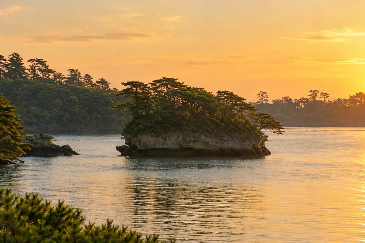
Bay · Matsushima, Miyagi
Matsushima Bay
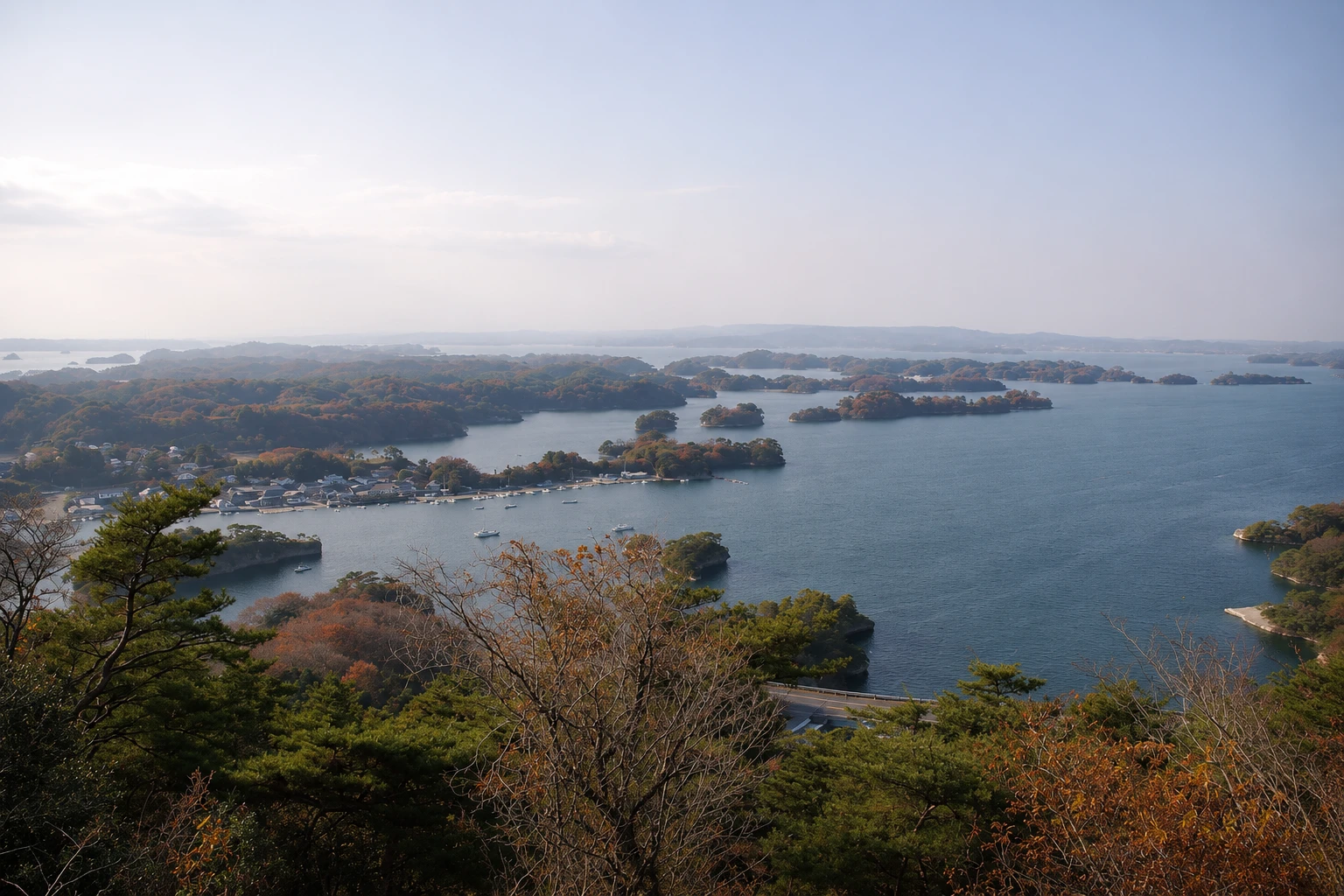
A stretch of sea dotted with tuff islets topped by twisted pines, one of Japan’s three classic views, seen from boat tours or from the viewpoints on the surrounding hills.
Illustrative images. The pictures in this guide are illustrations based on the real place, not photographs, and may differ from it.

A look at the place
Matsushima Bay in pictures
These pictures are illustrations based on the real place, not photographs. They may differ from the place.
Click the picture to enlarge it.
Discover
About Matsushima Bay
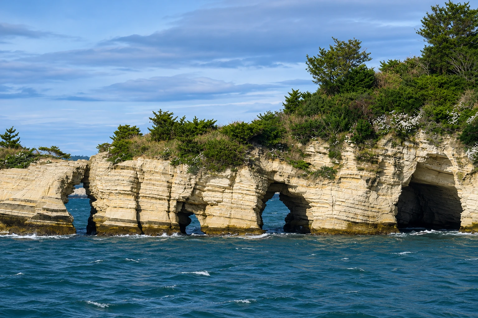
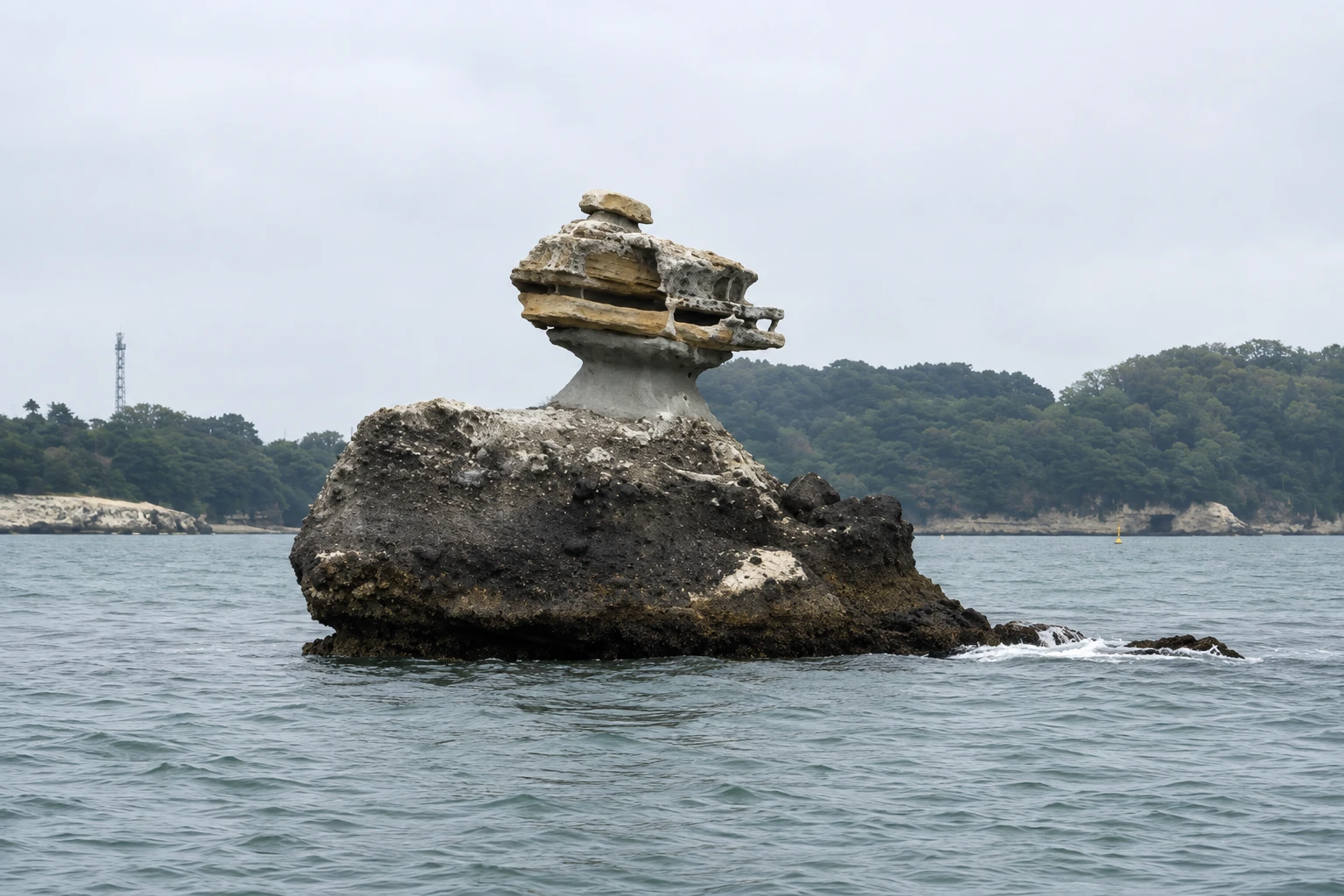
Matsushima Bay is a shallow inlet of the Pacific Ocean, sheltered by a line of islands where more than two hundred light-colored volcanic tuff islets are scattered. Water and wind have sculpted the rocks into arches, caves and cliffs, and almost every islet is crowned by twisted black pines, which give the place its name: “islands of pines.” In the 17th century the scholar Hayashi Gaho listed it among the country’s three celebrated views, together with Amanohashidate and Miyajima.
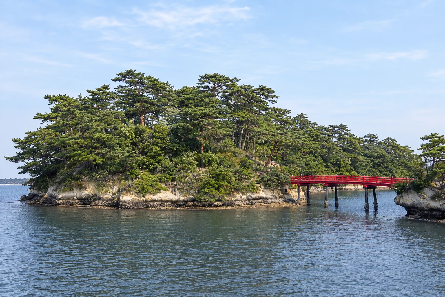
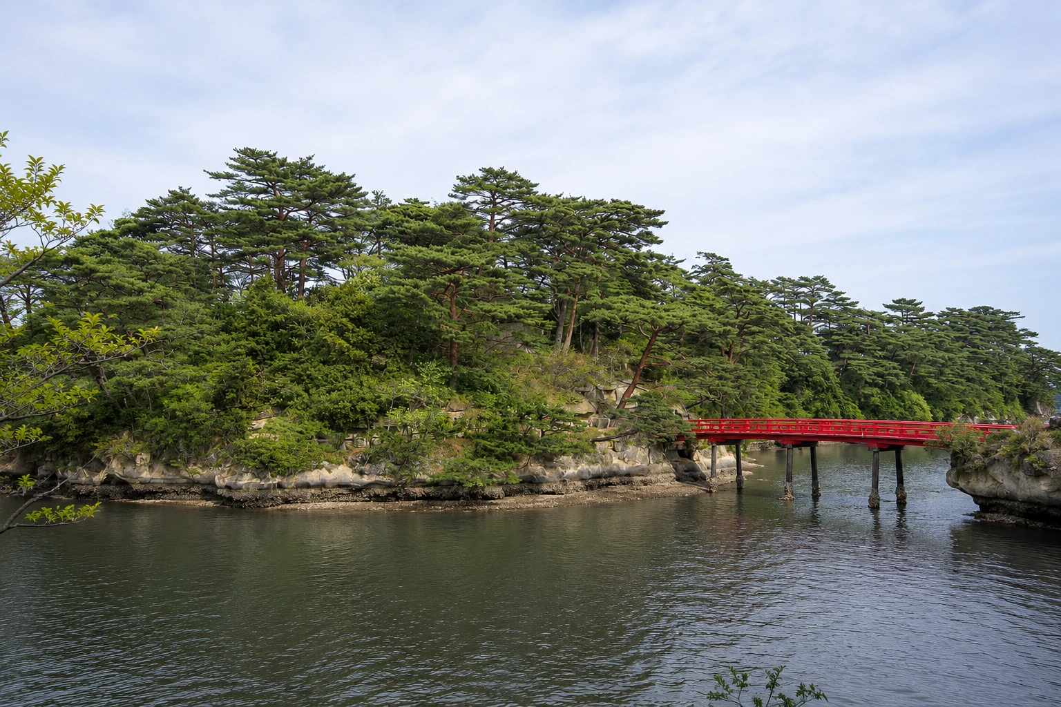
The poet Matsuo Basho arrived there in 1689, on the journey described in “The Narrow Road to the Deep North.” The islets have individual names, such as Niojima, whose shape suggests a guardian statue, and Kanejima, which has four openings through which the sea passes. Fukuura Island, connected to the shore by a red 252-meter bridge, has walking paths and a botanical garden; Oshima, with short bridges, contains caves used by monks for meditation.
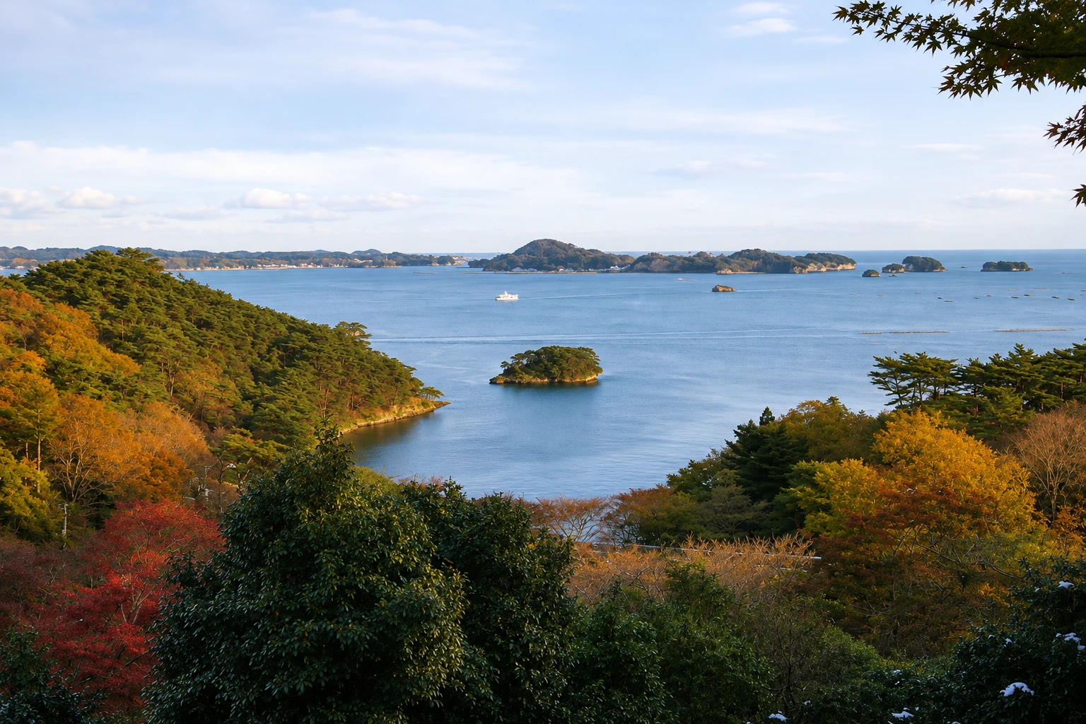
The most common way to see the bay is by sightseeing boat, which departs from the pier in front of the Godaido, makes a roughly 50-minute circuit and approaches the best-known formations. There is also a ferry connecting Matsushima with Shiogama Port. From land, the four traditional viewpoints, called Shidaikan, show the bay from different angles: Otakamori, Tamon-zan, Tomiyama and Ogidani. Saigyo Modoshi no Matsu Park, near the station, offers a wide view and cherry trees.
In 2011 the islands helped to reduce the force of the tsunami, and the town suffered less than other coastal cities. A visit is usually combined with Zuigan-ji, the Godaido and the bay’s oysters, served in the cold months.
Before you go
Practical information
Cidade Turismo reviews its information regularly, but something may have changed. Check with the place before planning your trip.
How much time to set aside
About 50 minutes for the sightseeing boat; half a day with Fukuura Island and a viewpoint.
Best time
On clear days, from April to November. Morning light is often good for photos from the viewpoints, and the sunset at Saigyo Modoshi no Matsu Park is attractive. Boats may be canceled in strong winds. Check schedules before you go.
How to get there
From Matsushima-Kaigan Station, the boat pier is about a 5-minute walk. The Fukuura Island bridge is about a 15-minute walk from the pier. The Otakamori viewpoint is on Miyato Island, about 10 km away, reachable by car or taxi with a short walk up.
Tip
Sit outside on the boat if weather permits to see the rocks without window reflections. If you’re coming from Sendai, go outbound on the Senseki Line to Shiogama and reach Matsushima by boat.
Official website
Get your questions answered
Frequently asked questions about Matsushima Bay
How many islands are there in Matsushima Bay?
More than two hundred, between rocky islets and inhabited islands. The numbers cited vary according to criteria, generally between 200 and 260.
How long is the boat tour in Matsushima?
The most common circular tour lasts about 50 minutes and departs from the pier in front of Godaido. The boat to Shiogama takes a similar amount of time.
What is Fukuura Island?
It is an island in the bay connected to the coast by a 252-meter red bridge, with trails, a botanical garden and viewpoints. The bridge crossing has a separate fee.
What is the best viewpoint in Matsushima?
Otakamori, on Miyato Island, offers the widest view of the bay but requires a car and a short climb. Close to the station, Saigyo Modoshi no Matsu Park is the easiest to reach.
Beyond the guide


