

 Brazil
 Antarctica
 Argentina
 Bolivia
 Chile
 Colombia
 Ecuador
 Guyana
 French Guiana
 Falkland Islands (Malvinas)
 Paraguay
 Peru
 Suriname
 Uruguay
 Venezuela
 Germany
 Austria
 Belgium
 Croatia
 Denmark
 Slovakia
 Slovenia
 Spain
 Finland
 France
 Greece
 the Netherlands
 Hungary
 Ireland
 Iceland
 Italy
 Luxembourg
 Norway
 Poland
 Portugal
 the United Kingdom
 the Czech Republic
 Sweden
 Switzerland
 Turkey
 Bermuda
 Canada
 the United States
 Greenland
 Mexico
 Saint Pierre and Miquelon
 the Dominican Republic
 South Africa
 Egypt
 Australia
 Fiji
 New Zealand
 Papua New Guinea
Plateau · Toyama, Toyama
Murodo
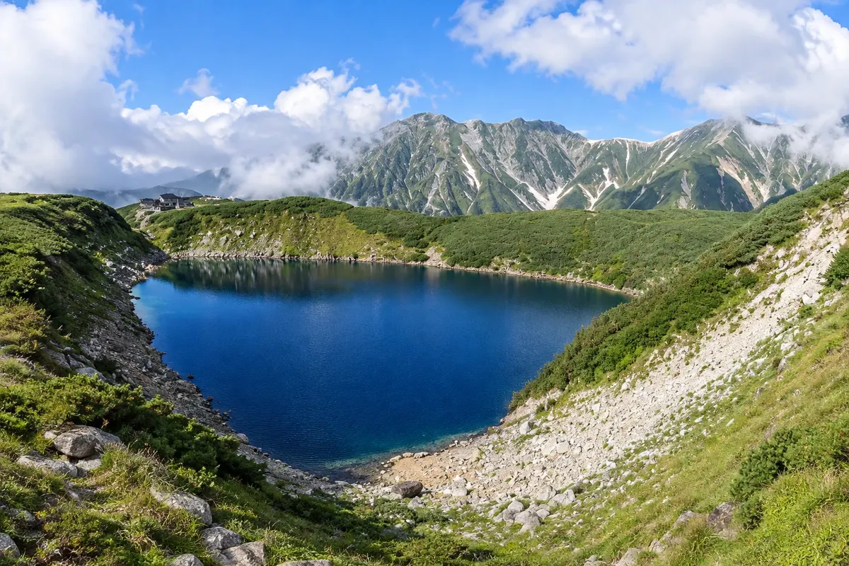
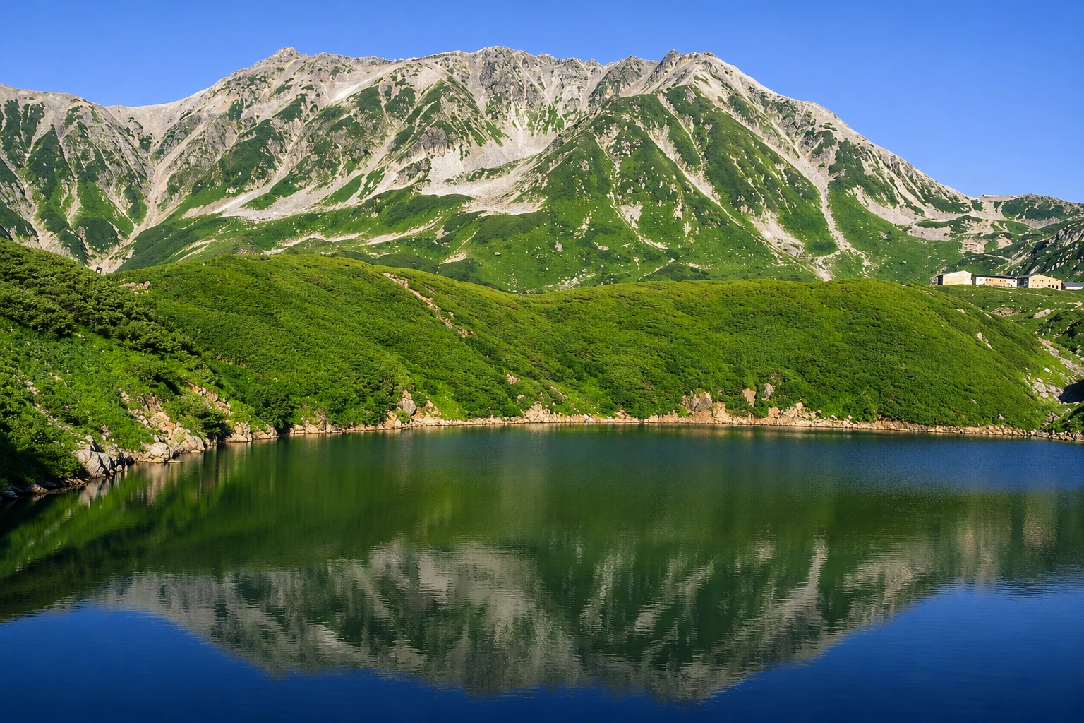
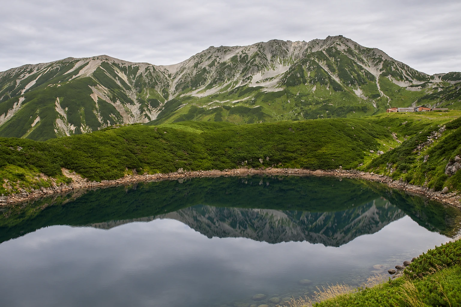
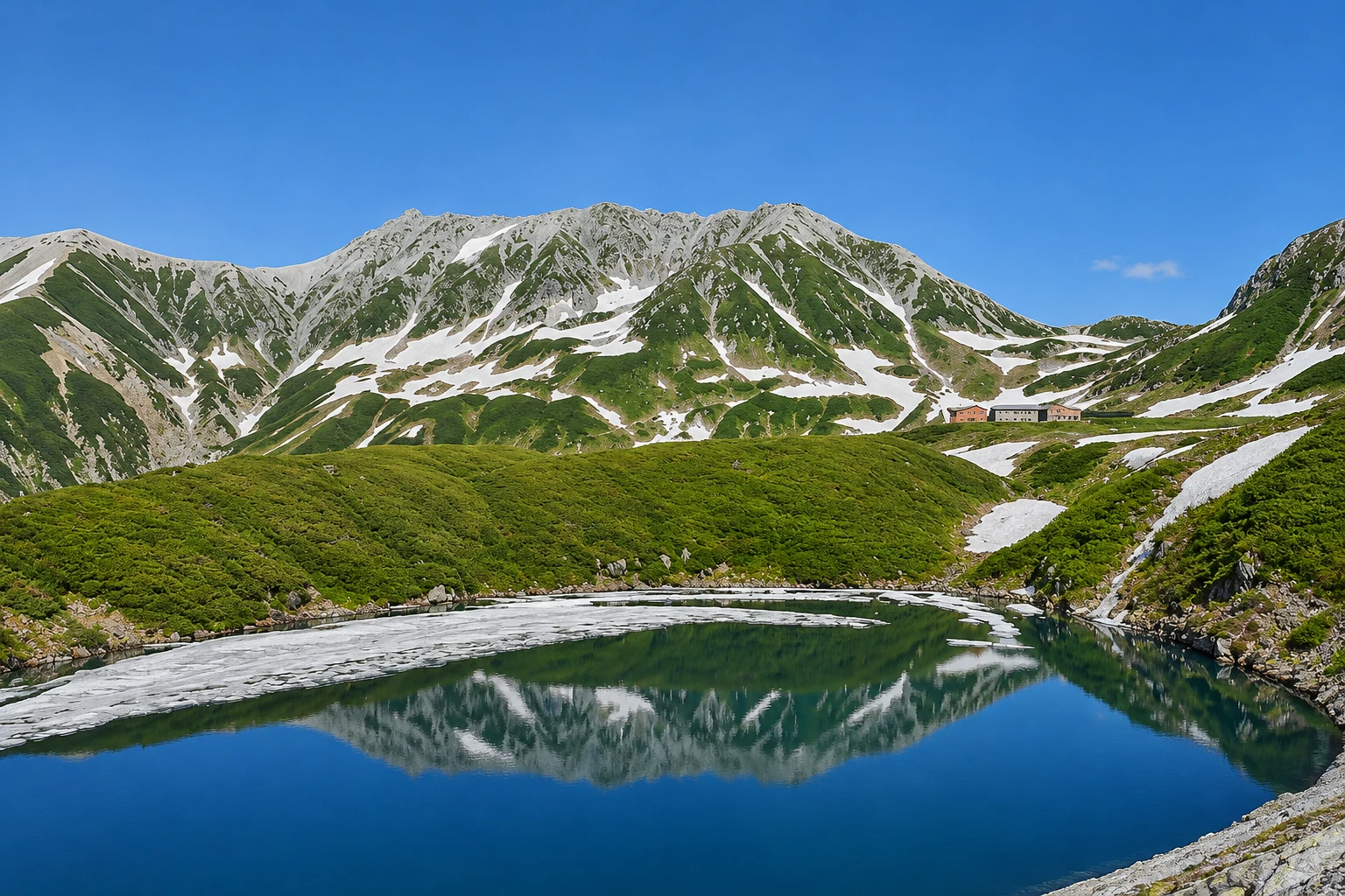
The highest point of the Alpine Route, at about 2,450 meters at the foot of Mount Tateyama, with the Mikurigaike crater lake, alpine trails and, in spring, the Yuki no Otani snow walls.
Illustrative images. The pictures in this guide are illustrations based on the real place, not photographs, and may differ from it.

A look at the place
Murodo in pictures
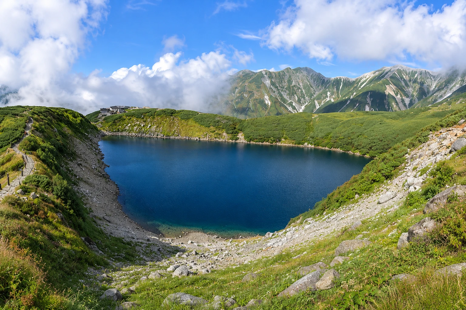
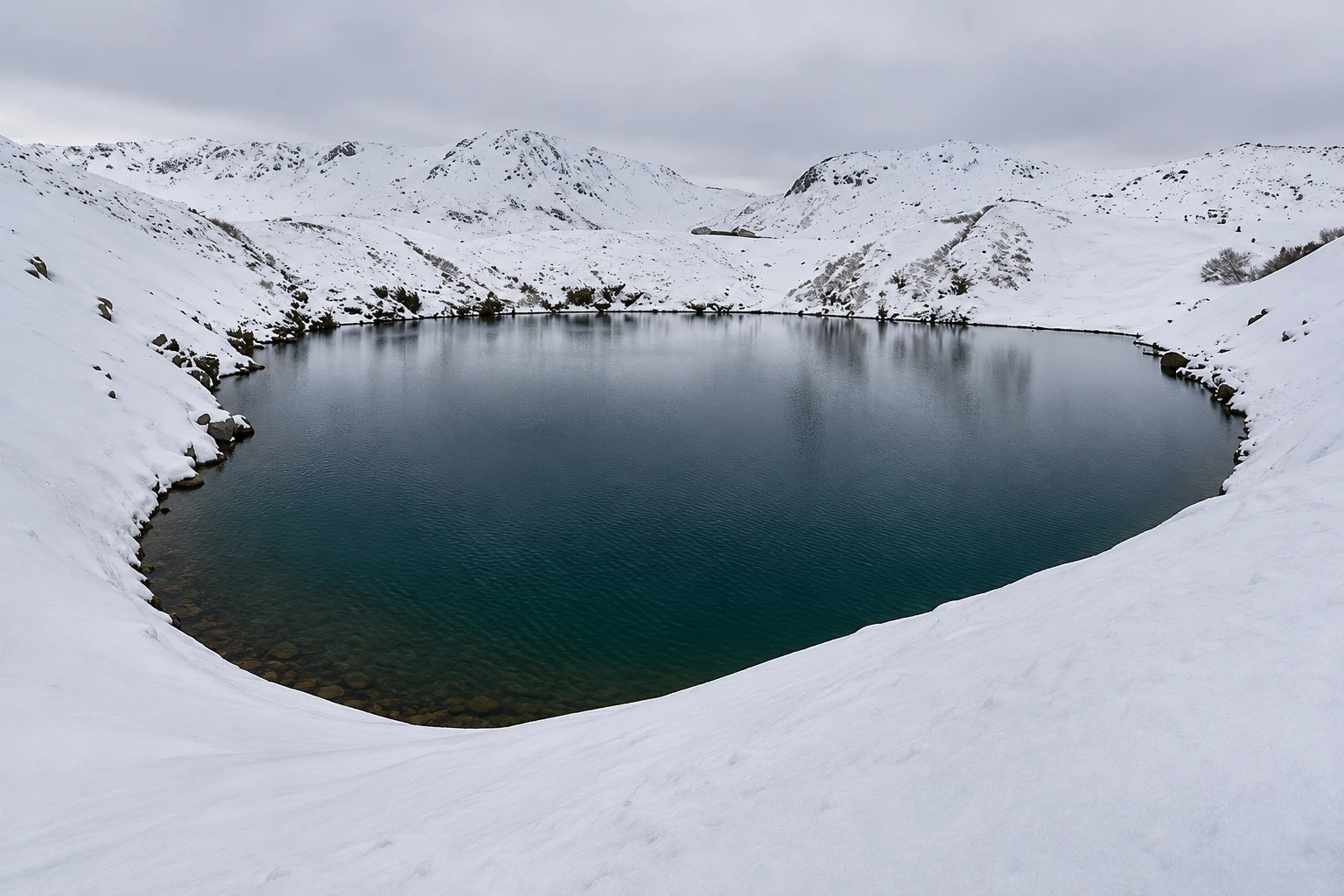
These pictures are illustrations based on the real place, not photographs. They may differ from the place.
Click the picture to enlarge it.
Discover
About Murodo
Murodo is a plateau at about 2,450 meters elevation on the western slope of Mount Tateyama in the Northern Alps. It is the highest point of the Tateyama Kurobe Alpine Route and the place where most visitors stop. The Murodo terminal houses the plateau bus station and the electric tunnel bus terminal, a hotel, restaurants and a spring of meltwater.
Tateyama, with about 3,015 meters at the Oyama peak, is one of Japan’s three sacred mountains, alongside Fuji and Hakusan. For centuries pilgrims have climbed it, and a shrine sits near the summit. From Murodo, trails lead to the summit in about 3 hours and to other peaks in the range in summer.
Near the terminal, a short walk leads to Mikurigaike, a dark-blue crater lake that is often snow-covered until early summer. Further on, the Jigokudani valley emits volcanic gases and access to it is restricted. The plateau is habitat for the rock ptarmigan, a protected alpine bird that changes color with the seasons.
In spring, the road up to Murodo runs between walls of snow in the section called Yuki no Otani, where snow accumulated over winter is cut to open the route. The walls can exceed 15 meters at the season opening, and a section is opened for walking between them. The route generally operates from mid-April to the end of November; at high elevation the weather changes fast and temperatures are low even in summer.
Before you go
Practical information
Cidade Turismo reviews its information regularly, but something may have changed. Check with the place before planning your trip.
How much time to set aside
2 to 3 hours for the terminal, Mikurigaike and the snow walls; a full day for trails to the peaks.
Best time
From mid-April to June for the Yuki no Otani snow corridors; July to September for alpine flowers and trails; late September and early October for autumn colors. Go early, before the afternoon fog. Confirm the season and conditions before you go.
How to get there
From Toyama, train to Tateyama Station (about one hour), cable car to Bijodaira (about 7 minutes) and plateau bus to Murodo (about 50 minutes). On the Omachi side, buses go to Ogizawa and you can follow the reverse sequence of the route, passing the Kurobe Dam.
Tip
Bring warm clothing, sunglasses and sunscreen: snow reflects a lot of sun even when the temperature is low. Ascend slowly and drink water because of the altitude. Buy tickets early in high season.
Official website
Get your questions answered
Frequently asked questions about Murodo
What is the altitude of Murodo?
About 2,450 meters. It is the highest point of the Tateyama Kurobe Alpine Route.
What is Yuki no Otani?
It is the stretch of the Murodo road where winter snow is cut away to open the route, forming walls that can exceed 15 meters in spring. A section is usually opened for walking from mid-April to June.
Is it cold in Murodo in summer?
Yes. Even in summer, temperatures are usually low and the wind is strong. Bring a jacket and a rain poncho.
Can you sleep in Murodo?
Yes. There is a hotel at the terminal and mountain huts on the plateau with limited spaces. Book in advance.
Can you climb Mount Tateyama from Murodo?
In summer, a trail leads to the Oyama peak in about 3 hours. It requires fitness and mountain footwear; check conditions at the terminal.
Beyond the guide


