

 Brazil
 Antarctica
 Argentina
 Bolivia
 Chile
 Colombia
 Ecuador
 Guyana
 French Guiana
 Falkland Islands (Malvinas)
 Paraguay
 Peru
 Suriname
 Uruguay
 Venezuela
 Germany
 Austria
 Belgium
 Croatia
 Denmark
 Slovakia
 Slovenia
 Spain
 Finland
 France
 Greece
 the Netherlands
 Hungary
 Ireland
 Iceland
 Italy
 Luxembourg
 Norway
 Poland
 Portugal
 the United Kingdom
 the Czech Republic
 Sweden
 Switzerland
 Turkey
 Bermuda
 Canada
 the United States
 Greenland
 Mexico
 Saint Pierre and Miquelon
 the Dominican Republic
 South Africa
 Egypt
 Australia
 Fiji
 New Zealand
 Papua New Guinea
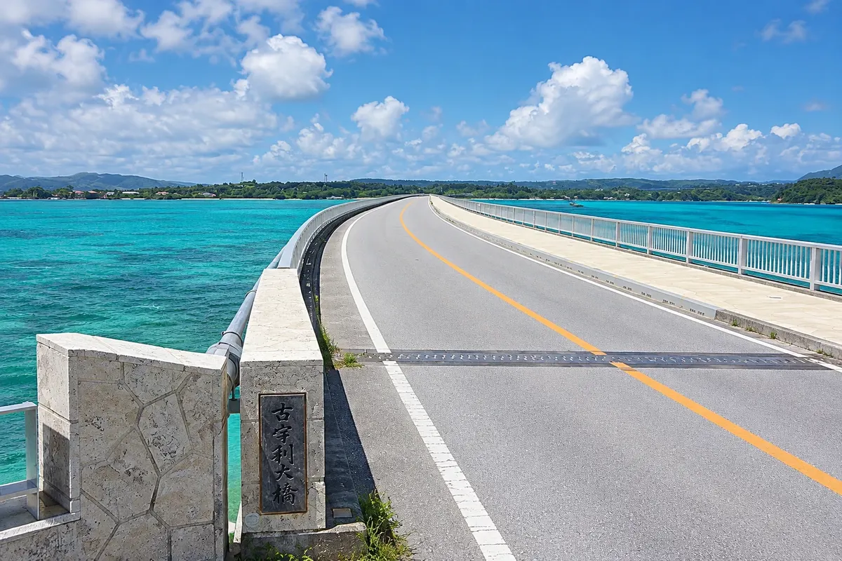
Island · Motobu, Okinawa
Kouri Island
Small island north of the Motobu peninsula, connected by a bridge of almost 2 km over shallow turquoise water. It has beaches, an approximately 8 km circular road and the Tinu rocks, linked to the local Adam and Eve legend.
Illustrative images. The pictures in this guide are illustrations based on the real place, not photographs, and may differ from it.

A look at the place
Kouri Island in pictures
These pictures are illustrations based on the real place, not photographs. They may differ from the place.
Click the picture to enlarge it.
Discover
About Kouri Island
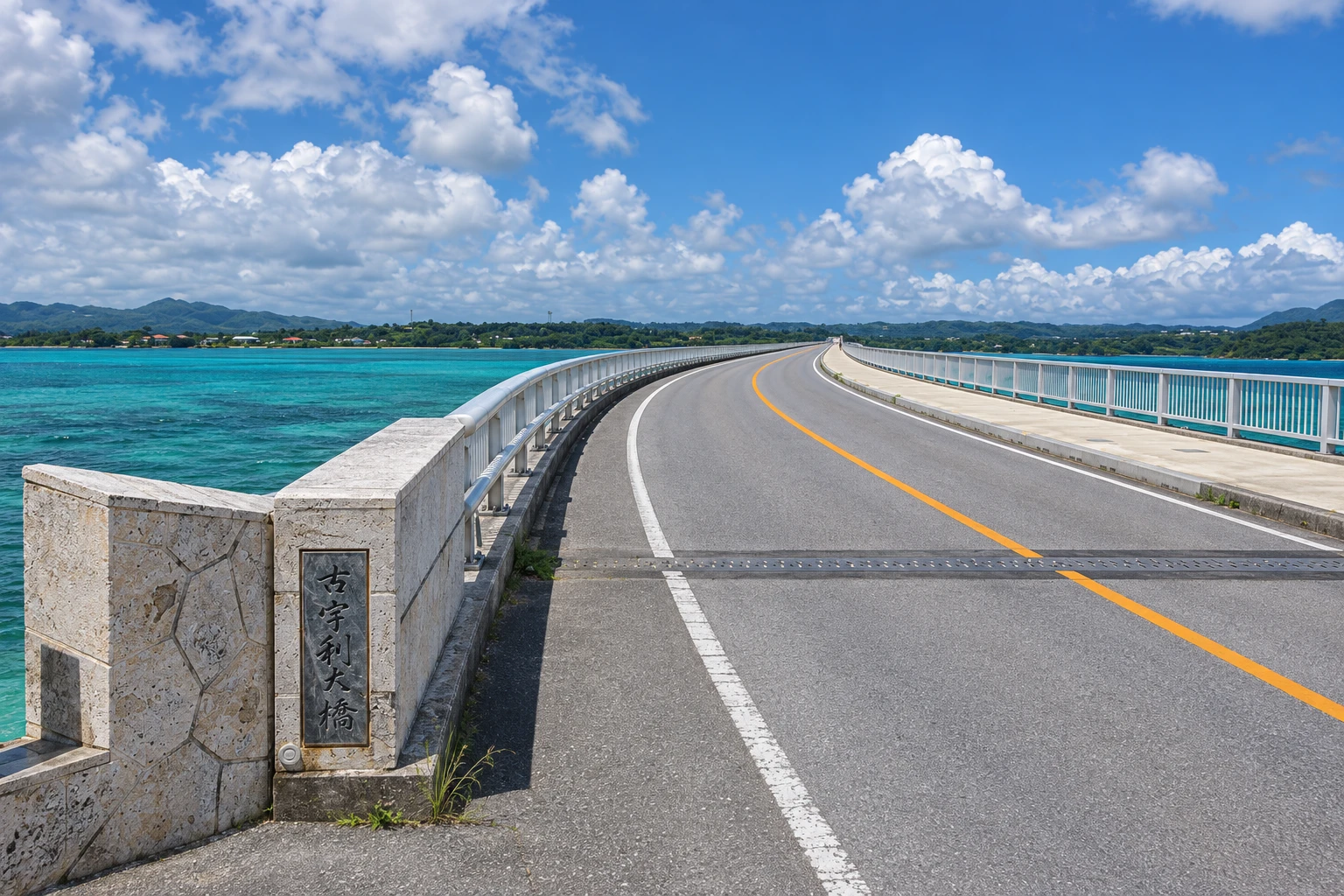
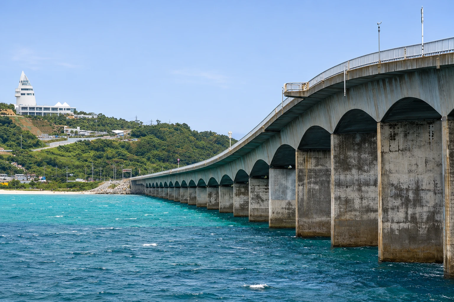
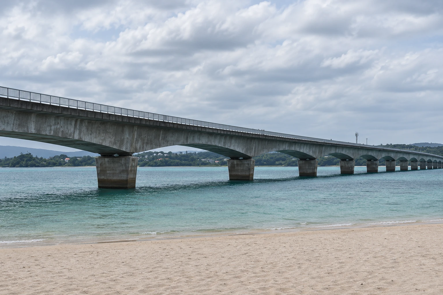
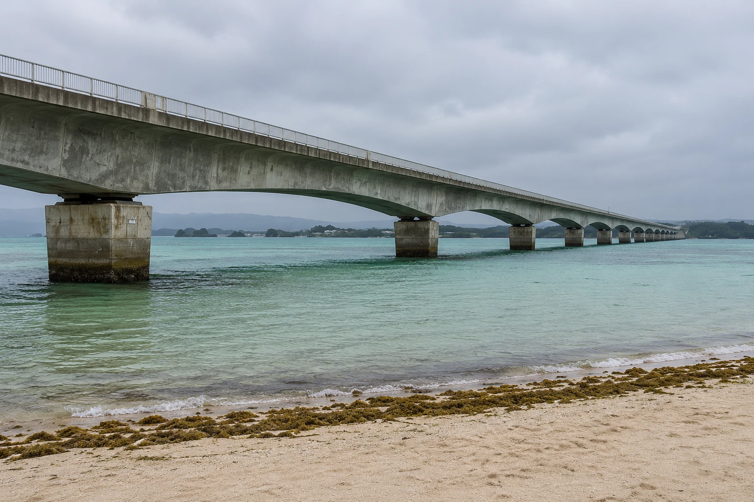
Kouri Island, Kourijima, is in the municipality of Nakijin, north of the Motobu peninsula. It has about an 8 km perimeter and a few hundred residents who lived from fishing and sugarcane cultivation. In 2005 it was connected to Yagaji Island by the Kouri Bridge, about 2 km long, which crosses shallow seas over white sand and became one of Okinawa’s most photographed landscapes.
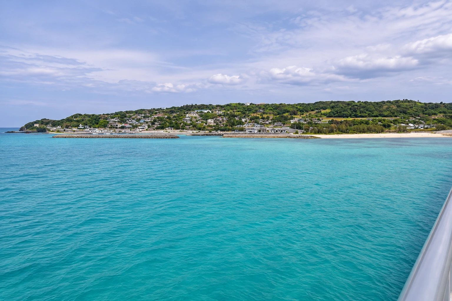
By car, the crossing shows green and blue waters on both sides. On the island side there is a beach at the bridgehead, a small center with shops and restaurants and a lookout, the Kouri Ocean Tower, with views of the bridge and the sea. The circular road passes smaller beaches, cane fields and small villages.
On the north coast are the Tinu rocks, also called heart-shaped rocks, which appear at low tide and became a visiting spot after a commercial. The island is linked to a local legend that tells the origin of the Okinawan people from a couple who lived there, told as the “Adam and Eve of Okinawa.”
Kouri is visited in a few hours and combines well with Churaumi Aquarium and Nakijin Castle in the same day. On sunny days the color of the water is more vivid; under cloudy skies the sea loses some of its contrast.
Before you go
Practical information
Cidade Turismo reviews its information regularly, but something may have changed. Check with the place before planning your trip.
How much time to set aside
From 1h30 to 3 hours.
Best time
From April to October, on sunny days and at low tide, when the shallow water becomes clearer and the Tinu rocks appear. Late afternoon is popular for the light on the bridge. Check the tide table.
How to get there
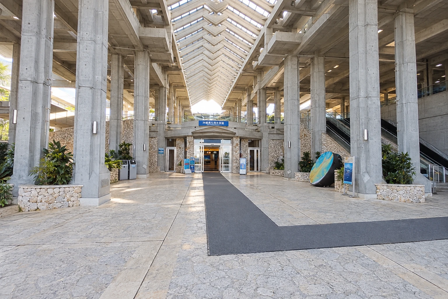
About 25 km from Churaumi Aquarium, roughly 30 minutes by car, crossing the Yagaji and Kouri bridges. Local buses from Nago reach the island with few departures per day.
Tip
Stop at the beach parking lot next to the bridge to view the crossing from below, and check the tide table if you want to see the Tinu rocks. You cannot stop on the bridge.
Official website
Get your questions answered
Frequently asked questions about Kouri Island
How do you get to Kouri Island?
By car, via the Kouri Bridge from Yagaji Island, which is connected to the main island by another bridge. From Churaumi Aquarium it’s about a 30-minute drive.
Can you swim on Kouri Island?
Yes, at the beach next to the bridge and at smaller island beaches, with shallow water and white sand. The swimming season is usually from April to October.
What are the Tinu rocks?
Two rocks on the island’s north coast with openings that resemble a heart, visible at low tide. They became a visitor spot after appearing in a commercial.
How long does it take to drive around Kouri?
The circular road is about 8 km and can be driven in under 30 minutes without stops.
Beyond the guide


