

 Brazil
 Antarctica
 Argentina
 Bolivia
 Chile
 Colombia
 Ecuador
 Guyana
 French Guiana
 Falkland Islands (Malvinas)
 Paraguay
 Peru
 Suriname
 Uruguay
 Venezuela
 Germany
 Austria
 Belgium
 Croatia
 Denmark
 Slovakia
 Slovenia
 Spain
 Finland
 France
 Greece
 the Netherlands
 Hungary
 Ireland
 Iceland
 Italy
 Luxembourg
 Norway
 Poland
 Portugal
 the United Kingdom
 the Czech Republic
 Sweden
 Switzerland
 Turkey
 Bermuda
 Canada
 the United States
 Greenland
 Mexico
 Saint Pierre and Miquelon
 the Dominican Republic
 South Africa
 Egypt
 Australia
 Fiji
 New Zealand
 Papua New Guinea
Natural park · Matsumoto, Nagano
Kamikochi
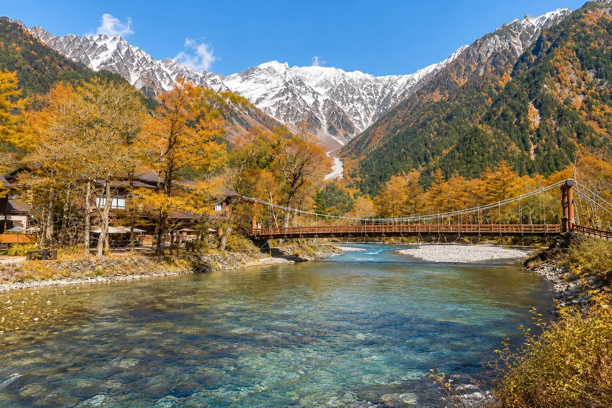
Upper Azusa River valley, at about 1,500 meters altitude, in the Northern Alps, with flat trails through forests and lakes and views of the Hotaka massif. Generally open from mid-April to mid-November, with no private cars allowed.
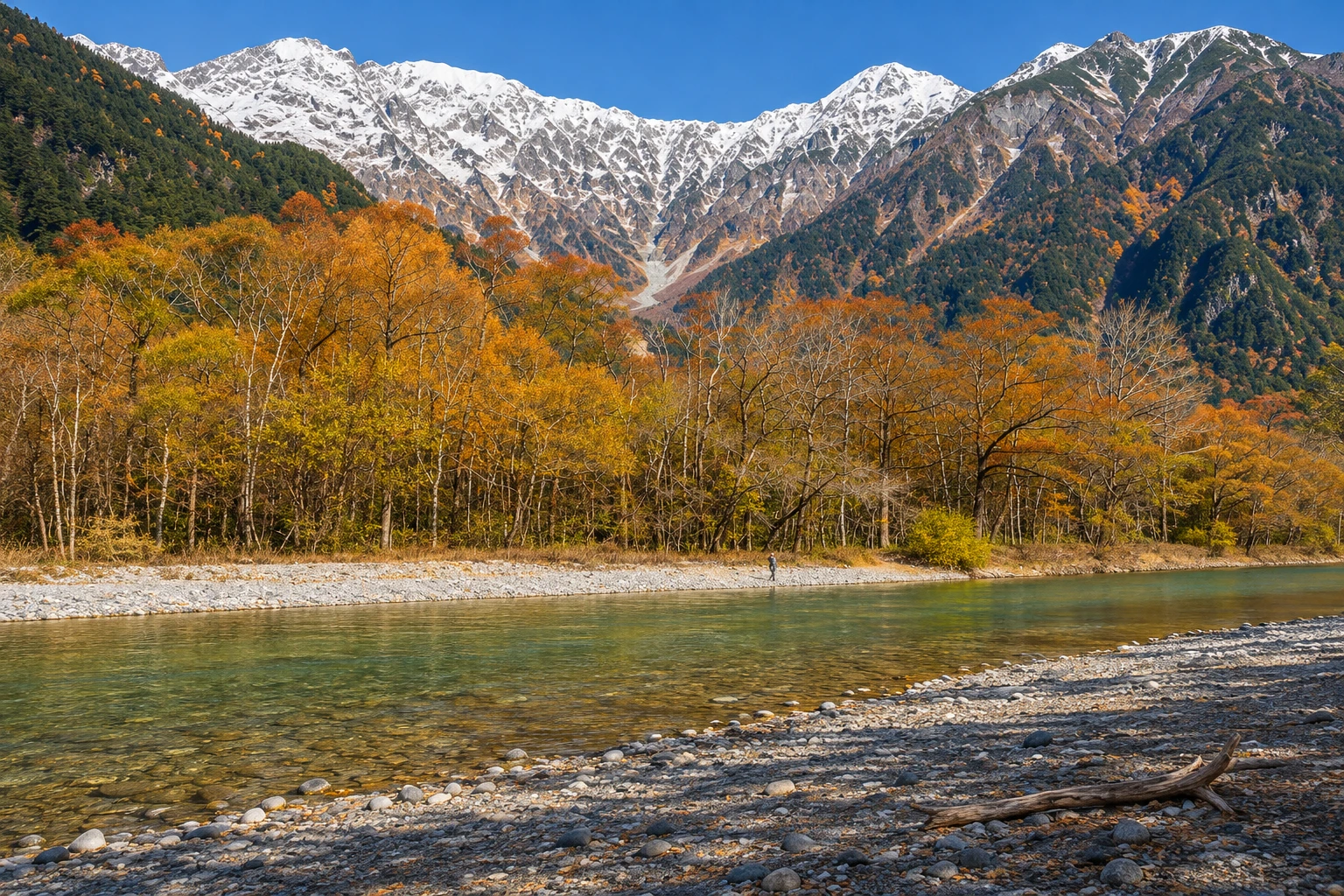
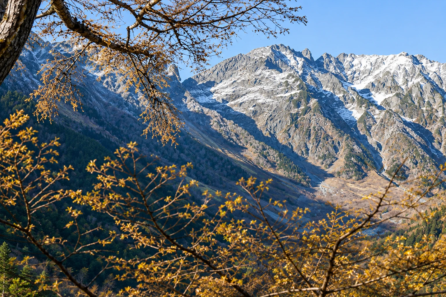
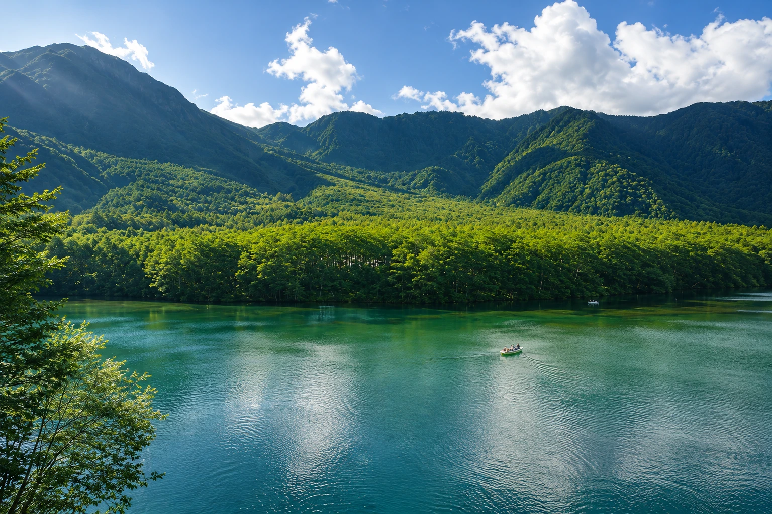
Illustrative images. The pictures in this guide are illustrations based on the real place, not photographs, and may differ from it.

A look at the place
Kamikochi in pictures
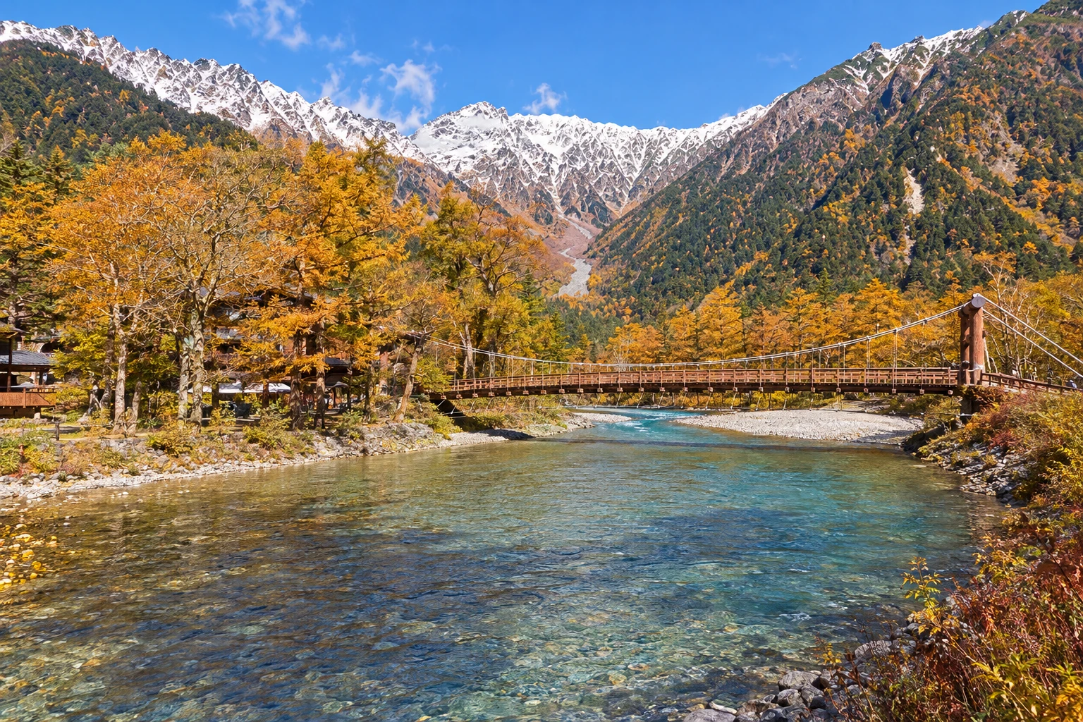
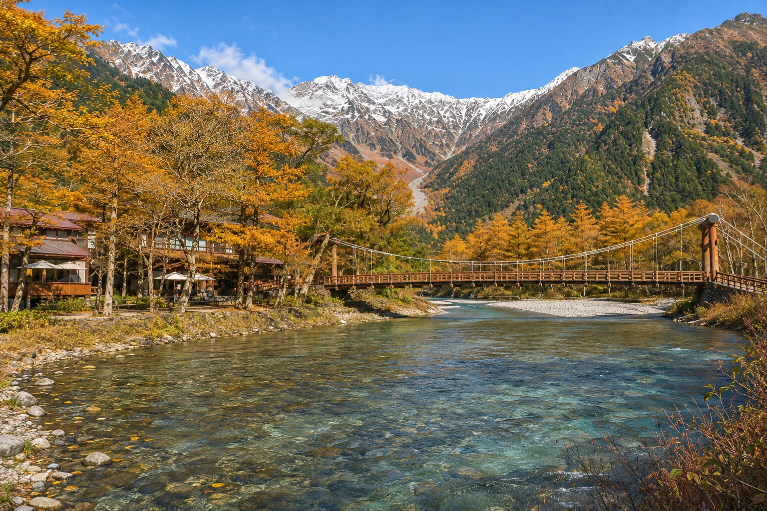
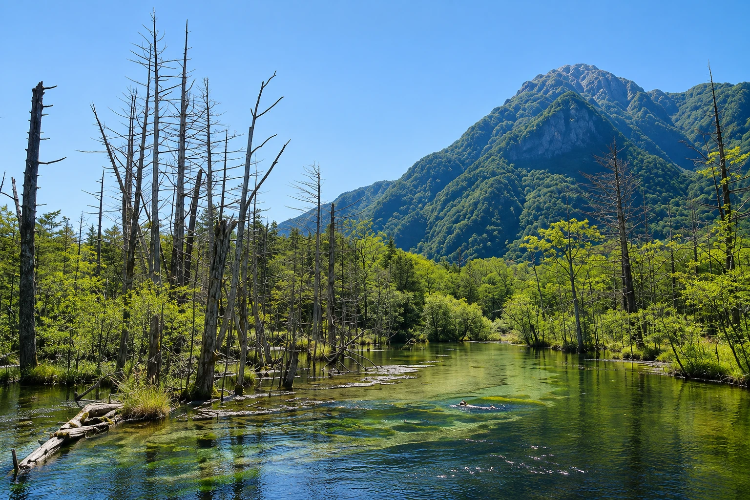
These pictures are illustrations based on the real place, not photographs. They may differ from the place.
Click the picture to enlarge it.
Discover
About Kamikochi
Kamikochi is a valley of about 15 km along the Azusa River, in Chubu-Sangaku National Park, at roughly 1,500 meters altitude. It is a place of scenic beauty and a Special Natural Monument of Japan. The valley was formed when an eruption of Mount Yake dammed the river, and even today Yake, an active volcano, closes the valley on one side while the Hotaka massif, with peaks over 3,000 meters, dominates the horizon.
The valley’s center is Kappa-bashi, a wooden suspension bridge over the river, with hotels, a visitors center and shops around it. From there depart the most popular, mostly flat trails. Downriver, the path leads to Taisho Pond, formed by the 1915 eruption, with dead trunks standing in the water. Upriver, a trail of about 1 hour goes to Myojin Pond, where the Hotaka Okumiya shrine is located, and continues to Tokusawa, the starting point for ascents to the peaks. A stone monument commemorates Walter Weston, the English missionary who promoted mountaineering in the Japanese Alps.
The valley operates only in season, generally from mid-April to mid-November. Private cars are prohibited: access is by buses and taxis from Sawando on the Matsumoto side, and from Hirayu on the Takayama side. The road closes in winter.
Monkeys, ducks and other animals move near the trails, and Asian black bears live in the area; the visitors center reports sightings and recommends carrying bells on backpacks outside central areas. Mountain weather changes quickly, and even in summer mornings are cold.
Before you go
Practical information
Cidade Turismo reviews its information regularly, but something may have changed. Check with the place before planning your trip.
How much time to set aside
From 4 to 6 hours for the flat trails; one or more days to climb the peaks.
Best time
From mid-April to mid-November, according to the official dates each year. May and June have fresh greenery and snow on the peaks; summer is mild in the valley; in October larches and slopes often change color. Early morning has fewer people and mist over the river.
How to get there
From Matsumoto, take the Kamikochi line train to Shin-Shimashima, about 30 minutes, then a bus to the Kamikochi terminal, about 1 hour. By car, park in Sawando and continue by bus or taxi, about 30 minutes. From Takayama, buses via Hirayu.
Tip
Get off the bus at the Taisho-ike stop and walk upstream to Kappa-bashi; then follow to Myojin-ike and return along the other bank. Bring warm clothes, a raincoat and water, and check the time of the last bus.
Official website
Get your questions answered
Frequently asked questions about Kamikochi
In which months does Kamikochi open?
The season usually starts in the second half of April and ends around November 15. Exact dates are announced each year; outside the season the road and services are closed.
What is the easiest trail in Kamikochi?
The stretch between Taisho Lake and Kappa-bashi Bridge, flat and with boardwalks, takes about 1 hour. Those who want more can continue to Myojin Lake, about 1 hour from the bridge.
Are there bears in Kamikochi?
Asian black bears live in the region. The visitor center reports recent sightings and recommends walking on marked trails and using bells outside central areas.
Can you sleep in Kamikochi?
Yes, in hotels and camping areas inside the valley, open only in the season. Spaces usually sell out early in summer and in October.
Is there an entrance fee for Kamikochi?
There is no admission fee for the valley. You pay for the bus or taxi from Sawando or Hirayu and for parking, separately; check the current price list.
Beyond the guide


