

 Brazil
 Antarctica
 Argentina
 Bolivia
 Chile
 Colombia
 Ecuador
 Guyana
 French Guiana
 Falkland Islands (Malvinas)
 Paraguay
 Peru
 Suriname
 Uruguay
 Venezuela
 Germany
 Austria
 Belgium
 Croatia
 Denmark
 Slovakia
 Slovenia
 Spain
 Finland
 France
 Greece
 the Netherlands
 Hungary
 Ireland
 Iceland
 Italy
 Luxembourg
 Norway
 Poland
 Portugal
 the United Kingdom
 the Czech Republic
 Sweden
 Switzerland
 Turkey
 Bermuda
 Canada
 the United States
 Greenland
 Mexico
 Saint Pierre and Miquelon
 the Dominican Republic
 South Africa
 Egypt
 Australia
 Fiji
 New Zealand
 Papua New Guinea
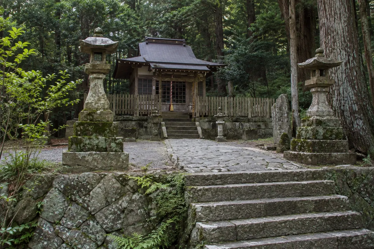
Trail · Tanabe, Wakayama
Nakahechi Trail (Kumano Kodo)
The ancient imperial route of the Kumano Kodo, about 38 km between Takijiri-oji and Kumano Hongu Taisha, through the forests of the Kii mountains, with small oji shrines, villages and inns along the way.
Illustrative images. The pictures in this guide are illustrations based on the real place, not photographs, and may differ from it.

A look at the place
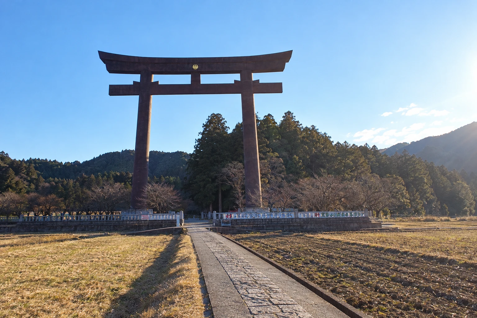
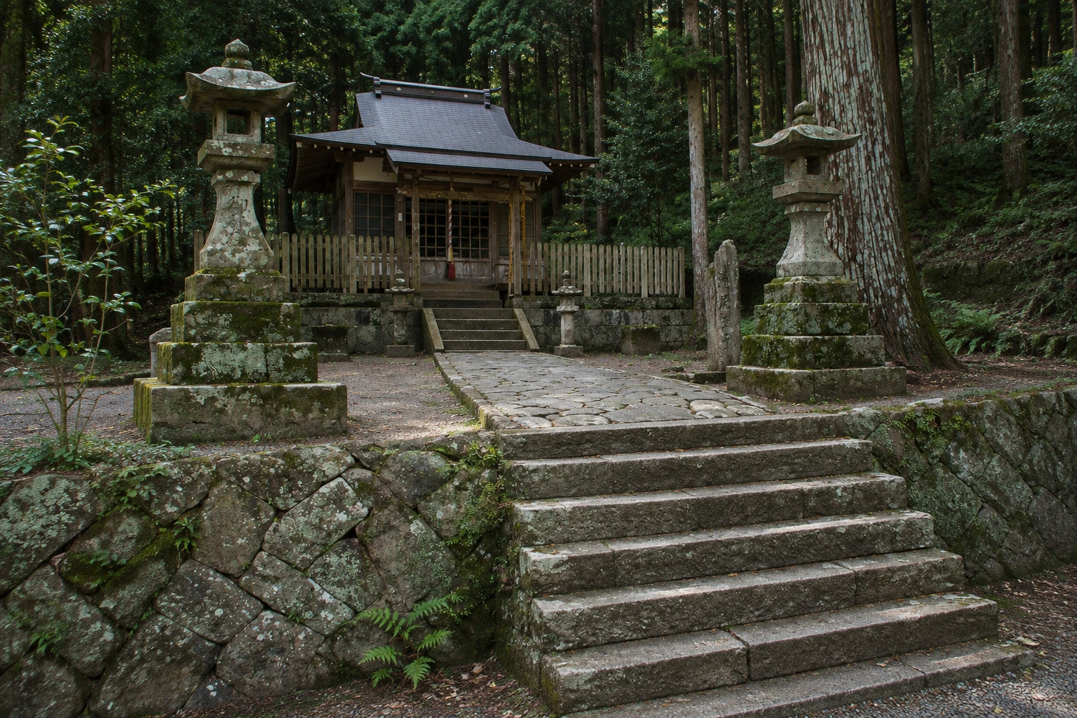
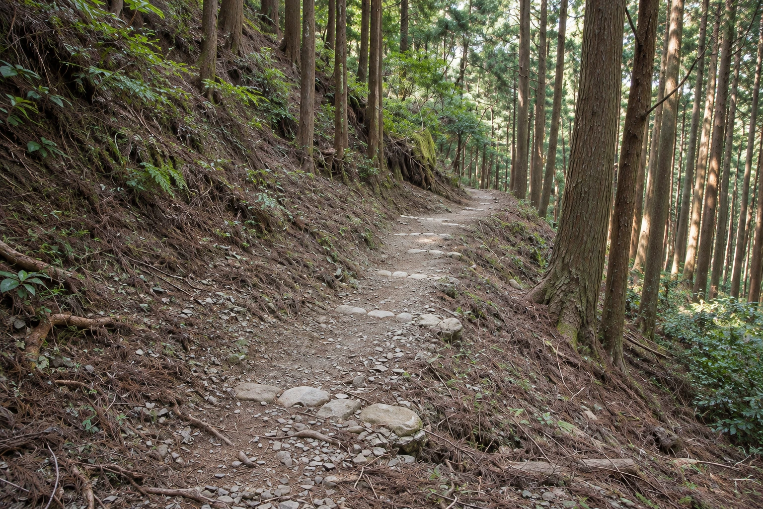
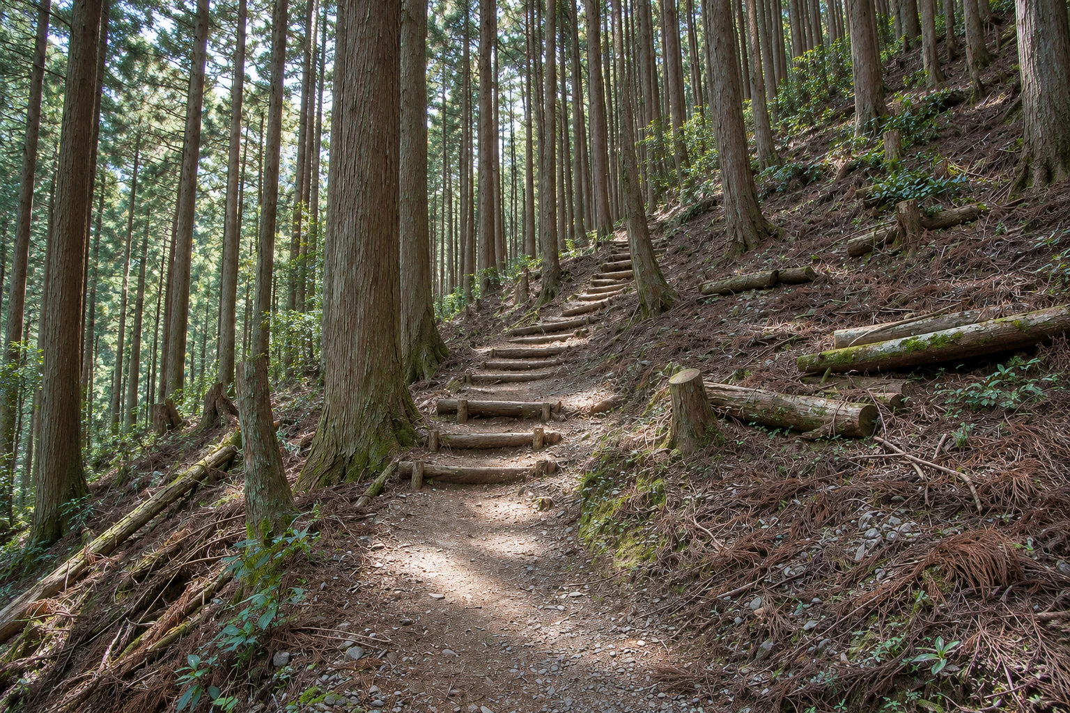
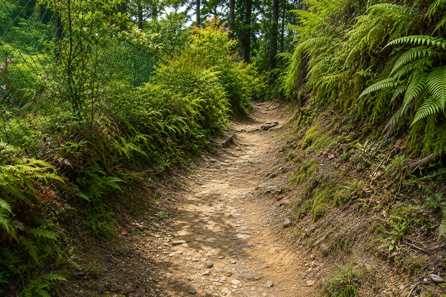
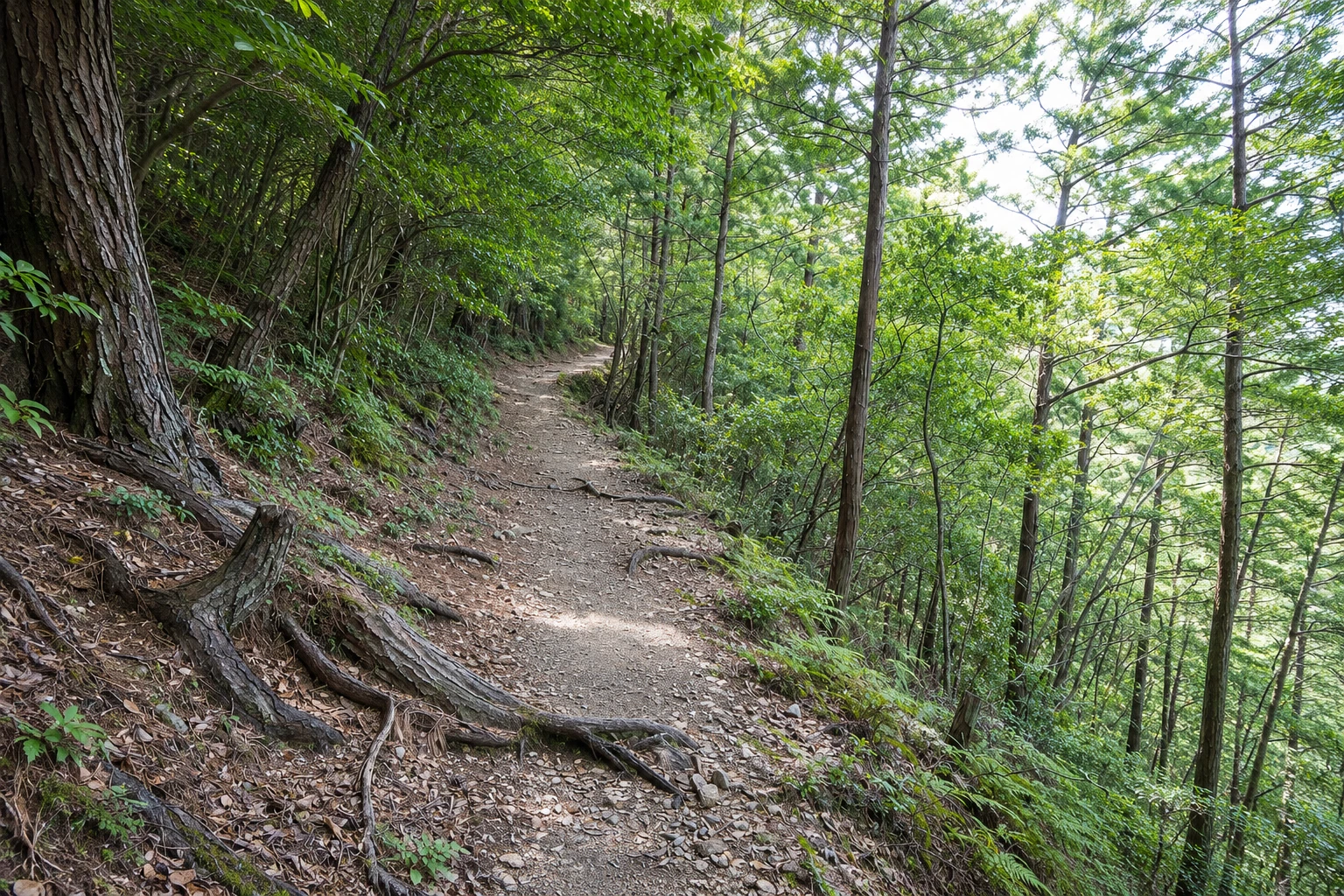
Nakahechi Trail (Kumano Kodo) in pictures
These pictures are illustrations based on the real place, not photographs. They may differ from the place.
Click the picture to enlarge it.
Discover
About Nakahechi Trail (Kumano Kodo)
The Nakahechi is the most-traveled route of the Kumano Kodo and was used between the 10th and 13th centuries by pilgrimages of retired emperors and the Kyoto court, who took weeks to go and return. The main section starts at Takijiri-oji, at the confluence of the Tonda and Ishifuri rivers, and runs about 38 km through the mountains to Kumano Hongu Taisha. The route has been a World Heritage site since 2004.
Along the trail are the oji, small subsidiary shrines where pilgrims stopped to pray and rest. Some still have buildings; others are just a stone or a plaque in the middle of the forest. The path goes over stone steps, cedar and cypress roots, moss-covered slopes and mountain villages such as Takahara, on a ridge with views of the ranges, and Chikatsuyu, on the riverbank.
Most walkers split the route into two or three days, staying at family-run inns in the villages that serve dinner and breakfast and can prepare a packed lunch for the trail. There is luggage transfer service between accommodations. Distance markers every 500 meters, numbered, help you locate yourself, and English signs mark the forks.
The final section, from Hosshinmon-oji to Hongu Taisha, is about 7 km and is the most popular with people who want to walk only a few hours. The information center at Takijiri-oji has maps and a stamp for the pilgrim’s credential, with other stamps distributed among the oji.
Before you go
Practical information
Cidade Turismo reviews its information regularly, but something may have changed. Check with the place before planning your trip.
How much time to set aside
Two to three days for the full route; 2 to 3 hours for the final section.
Best time
March to May and October to November, with mild temperatures. June has heavy rains and slippery trails; summer is hot and humid; typhoons, more frequent from August to October, can close sections. Check conditions and possible detours before you set out.
How to get there
The starting point, Takijiri-oji, is about a 40-minute bus ride from Kii-Tanabe station. For the final section, get off at Hosshinmon-oji on the bus to Hongu.
Tip
Book inns and the luggage transfer in advance and start early, because it gets dark quickly in the forest. Bring water, a raincoat and a flashlight, and check bus timetables if you plan to shorten the route.
Official website
Get your questions answered
Frequently asked questions about Nakahechi Trail (Kumano Kodo)
How long is the Nakahechi?
About 38 km between Takijiri-oji and Kumano Hongu Taisha, usually done in two or three days. The route continues to Nachi and Shingu on longer sections.
Is the Nakahechi trail well signposted?
Yes. There are numbered markers every 500 meters and English signs at forks, plus maps at the Takijiri-oji information center.
Which section should I do if I have little time?
The stretch from Hosshinmon-oji to Hongu Taisha, about 7 km and 2 to 3 hours, passing villages and the viewpoint over Oyunohara.
Are there toilets and water on the trail?
There are toilets at some points and in the villages, but few water sources and almost no shops in the forest. Bring water and snacks for the day.
Can you walk the Nakahechi in winter?
Yes, but days are short, there is frost on higher sections and some inns close. Check availability in advance.
Beyond the guide


