

 Brazil
 Antarctica
 Argentina
 Bolivia
 Chile
 Colombia
 Ecuador
 Guyana
 French Guiana
 Falkland Islands (Malvinas)
 Paraguay
 Peru
 Suriname
 Uruguay
 Venezuela
 Germany
 Austria
 Belgium
 Croatia
 Denmark
 Slovakia
 Slovenia
 Spain
 Finland
 France
 Greece
 the Netherlands
 Hungary
 Ireland
 Iceland
 Italy
 Luxembourg
 Norway
 Poland
 Portugal
 the United Kingdom
 the Czech Republic
 Sweden
 Switzerland
 Turkey
 Bermuda
 Canada
 the United States
 Greenland
 Mexico
 Saint Pierre and Miquelon
 the Dominican Republic
 South Africa
 Egypt
 Australia
 Fiji
 New Zealand
 Papua New Guinea
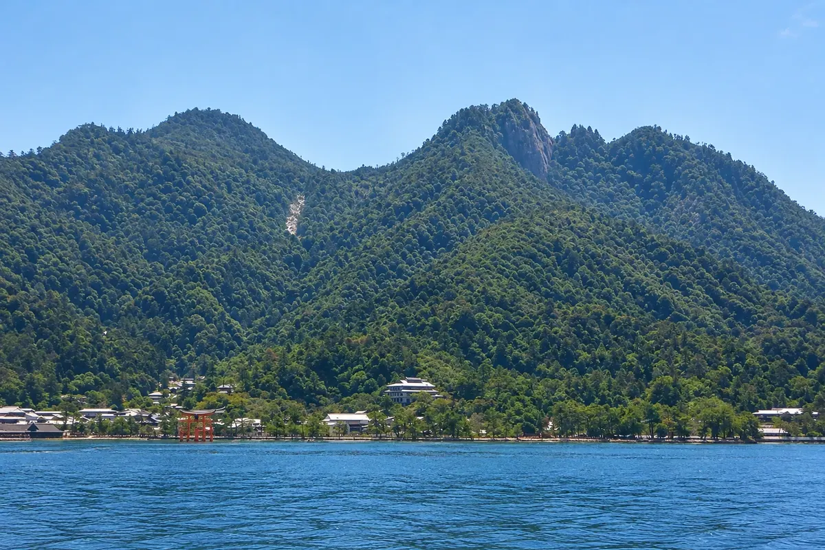
Mountain. · Miyajima, Hiroshima
Mount Misen
Miyajima’s sacred mountain, with primary forest, temples connected to the monk Kukai, giant rocks and viewpoints over the Inland Sea, reachable by ropeway or trail.
Illustrative images. The pictures in this guide are illustrations based on the real place, not photographs, and may differ from it.

A look at the place
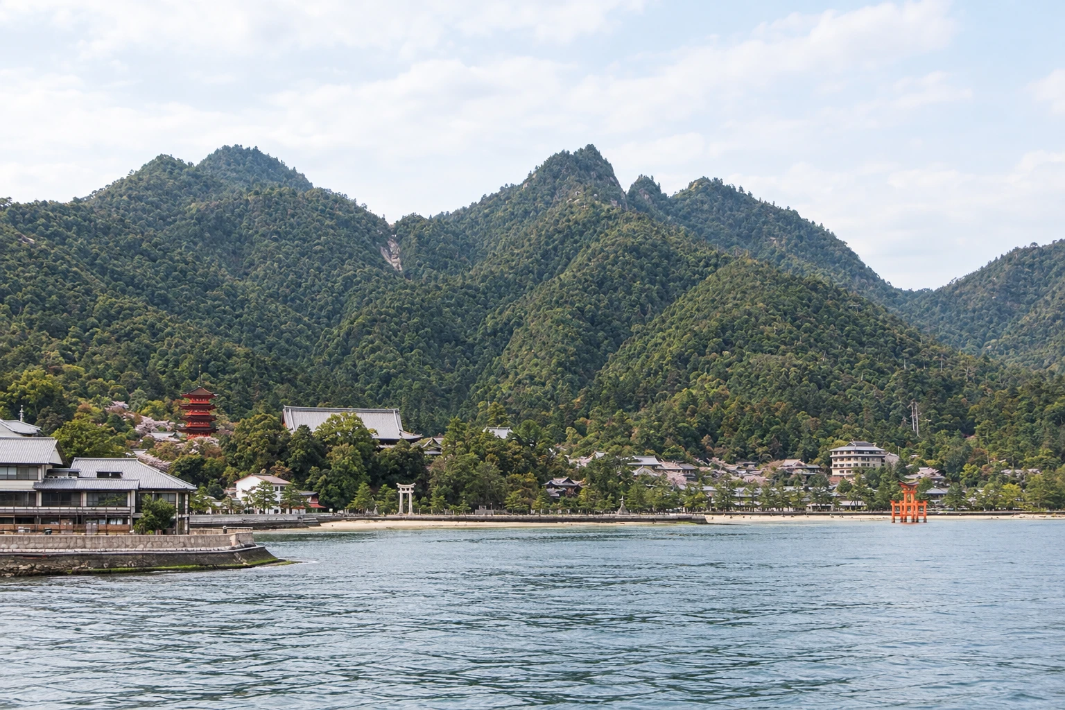
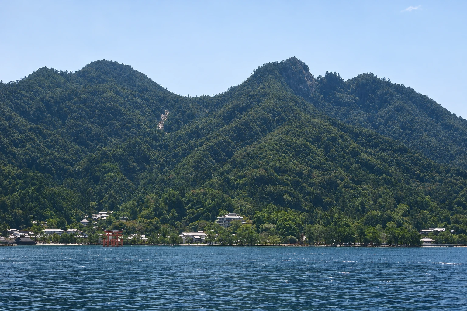
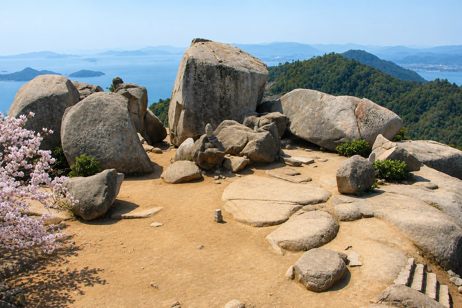
Mount Misen in pictures
These pictures are illustrations based on the real place, not photographs. They may differ from the place.
Click the picture to enlarge it.
Discover
About Mount Misen
Mount Misen, at 535 meters, is the highest point on Miyajima Island and is considered sacred. Tradition says the monk Kūkai, founder of Shingon Buddhism, practiced there in the early 9th century. The mountain forest has been preserved for centuries and is part of the Itsukushima World Heritage area.
The most used route is the Miyajima Ropeway, which departs from Momijidani Station, about a 20-minute walk from the shrine, and goes up in two stages to Shishiiwa Station. From there, a trail of about 30 minutes, with climbs and stairs, leads to the summit. Those who prefer to walk have three trails starting from town — Daisho-in, Momijidani and Omoto — taking about 1h30 to 2 hours to climb.
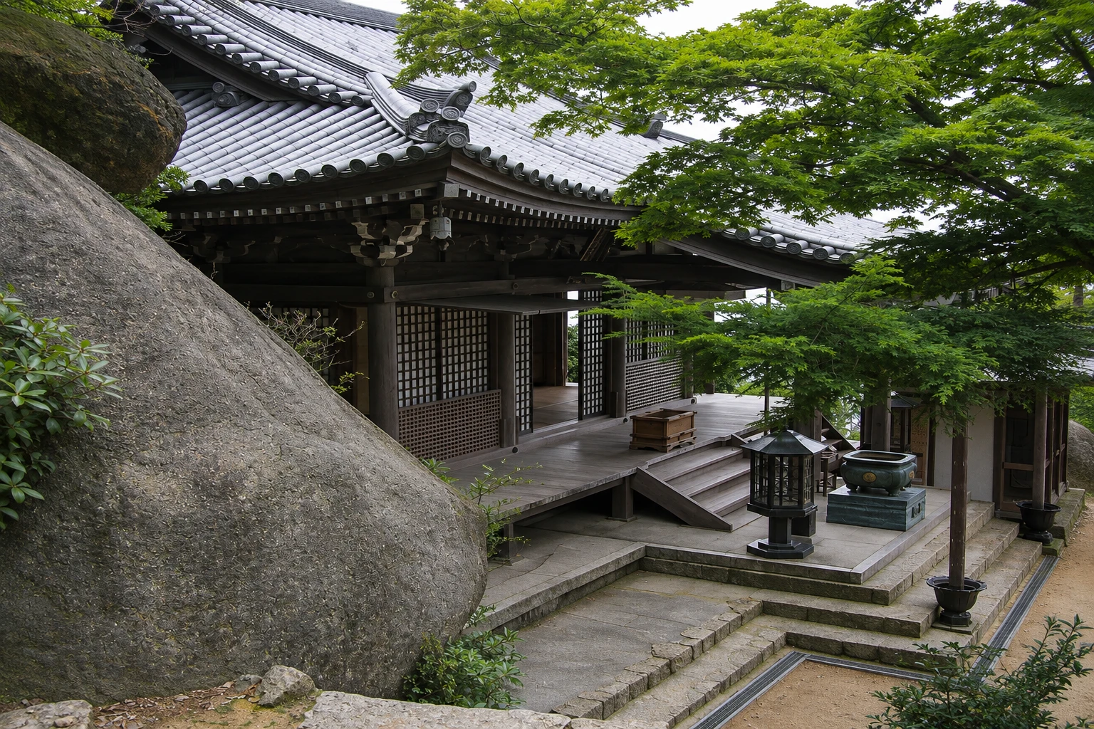
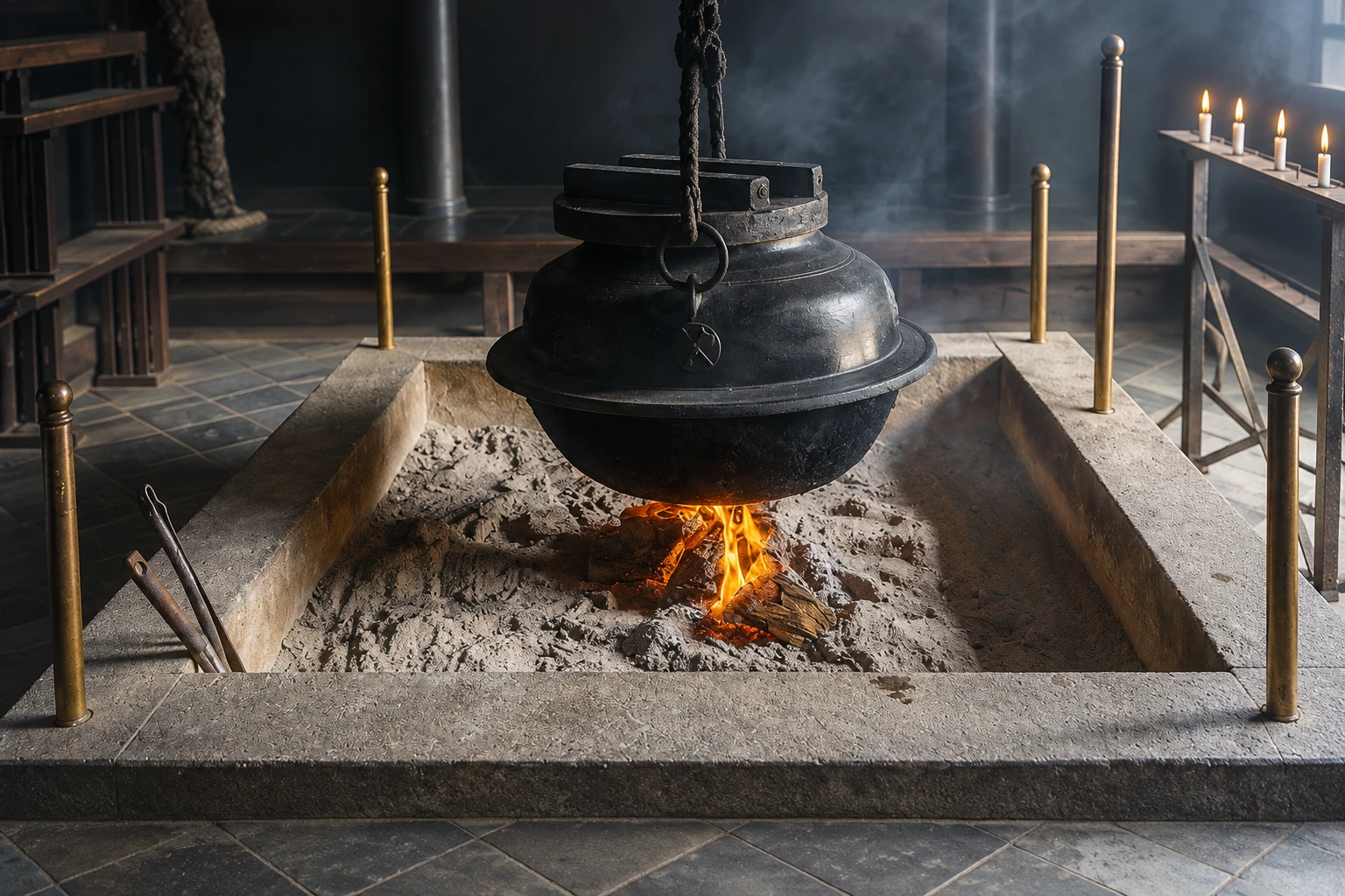
Along the way to the summit are the mountain’s temples. The Reikado hall safeguards the Kiezu-no-hi flame, kept burning, according to tradition, since Kūkai’s time, with a kettle always boiling; its tea is regarded as a remedy for all ills. Near the top are giant stacked rocks that form natural passages and tunnels.
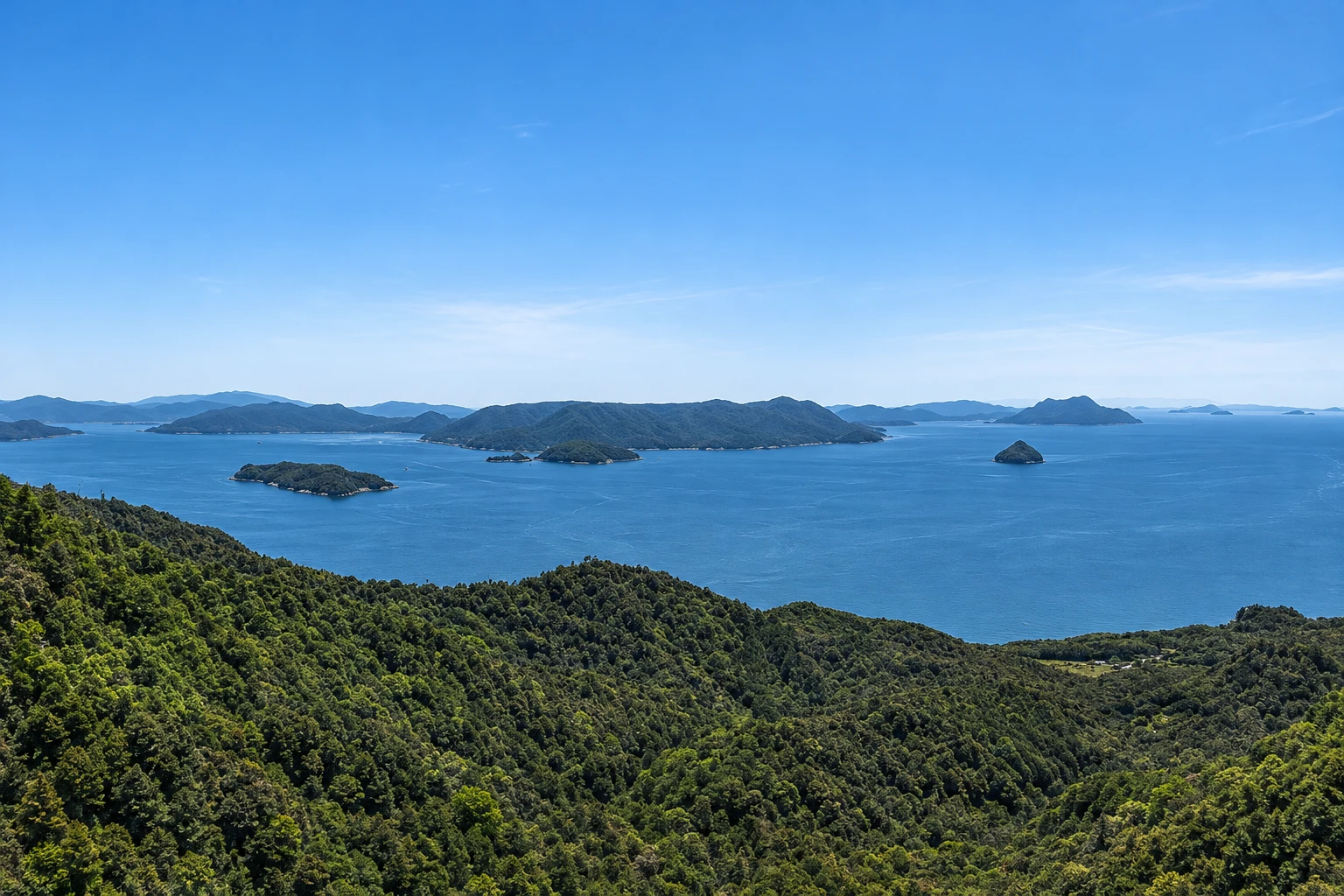
The summit has a wooden lookout with views over the Inland Sea, the islands, the Hiroshima coast and, on clear days, the mountains of Shikoku. The trail crosses the forest, with maples that turn red in autumn. Monkeys and deer live on the mountain: do not feed the monkeys or stare them in the eyes.
Before you go
Practical information
Cidade Turismo reviews its information regularly, but something may have changed. Check with the place before planning your trip.
How much time to set aside
2 to 3 hours with the ropeway and the walk to the summit; 4 to 5 hours to go up and down on foot.
Best time
Clear-sky days offer the widest views; with low clouds, the summit can be covered. The Momijidani trail maples usually turn red in mid-November. The ropeway has its own schedule and stops in strong winds or for maintenance: confirm before you go.
How to get there
Momijidani Station of the ropeway is about a 20-minute walk from Miyajima Pier, passing through Momijidani Park, with a gentle climb on the final stretch. The summit has no car access.
Tip
Take the ropeway up and descend via the Daisho-in trail, which ends at the temple a few minutes from the shrine. Bring water and sturdy footwear: even with the ropeway, the final section has stairs.
Official website
Get your questions answered
Frequently asked questions about Mount Misen
How do you climb Mount Misen?
By the Miyajima Ropeway from Momijidani, plus about 30 minutes of trail to the summit. There are also three trails from town, taking about 1h30 to 2 hours to climb.
How long does it take to hike up Mount Misen?
About 1h30 to 2 hours to climb via the Daisho-in, Momijidani or Omoto trails, depending on your pace.
What is on the summit of Mount Misen?
A lookout with views over the Inland Sea and the islands, giant rocks and, along the way, temples linked to Kūkai, such as the Reikado hall.
Are there monkeys on Mount Misen?
Yes, monkeys and deer live on the mountain. Do not feed the monkeys or stare at them.
Which trail should you descend on Mount Misen?
The Daisho-in trail, which ends at the temple of the same name near Itsukushima Shrine.
Beyond the guide


