

 Brazil
 Antarctica
 Argentina
 Bolivia
 Chile
 Colombia
 Ecuador
 Guyana
 French Guiana
 Falkland Islands (Malvinas)
 Paraguay
 Peru
 Suriname
 Uruguay
 Venezuela
 Germany
 Austria
 Belgium
 Croatia
 Denmark
 Slovakia
 Slovenia
 Spain
 Finland
 France
 Greece
 the Netherlands
 Hungary
 Ireland
 Iceland
 Italy
 Luxembourg
 Norway
 Poland
 Portugal
 the United Kingdom
 the Czech Republic
 Sweden
 Switzerland
 Turkey
 Bermuda
 Canada
 the United States
 Greenland
 Mexico
 Saint Pierre and Miquelon
 the Dominican Republic
 South Africa
 Egypt
 Australia
 Fiji
 New Zealand
 Papua New Guinea
Natural scenery · Mine, Yamaguchi
Akiyoshidai
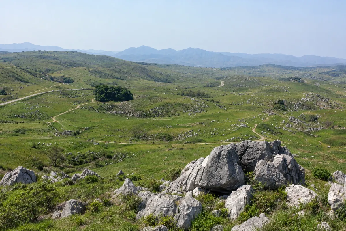
The largest limestone plateau in Japan, about 54 km² of grass fields dotted with gray rocks, a viewpoint, trails and a geology museum; the grass is burned every February.
Illustrative images. The pictures in this guide are illustrations based on the real place, not photographs, and may differ from it.

A look at the place
Akiyoshidai in pictures
These pictures are illustrations based on the real place, not photographs. They may differ from the place.
Click the picture to enlarge it.
Discover
About Akiyoshidai
Akiyoshidai is a limestone plateau of about 54 km², at roughly 300 meters altitude, inland in Yamaguchi Prefecture. It is the largest karst plateau in Japan and a quasi-national park. The limestone formed about 300 million years ago from coral reefs in a tropical sea, and was uplifted and sculpted by rain over time.
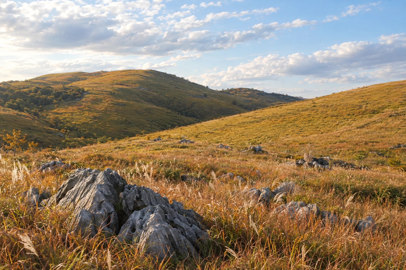
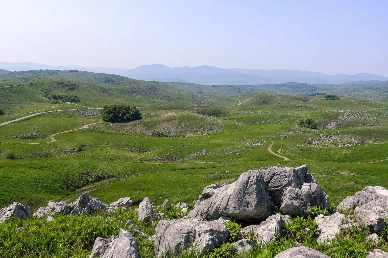
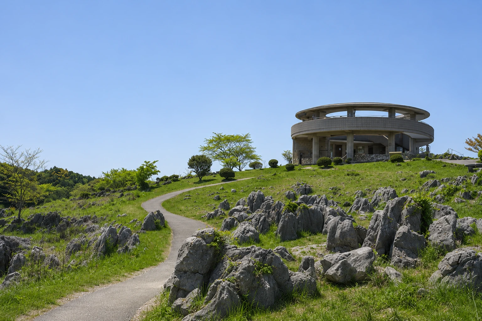
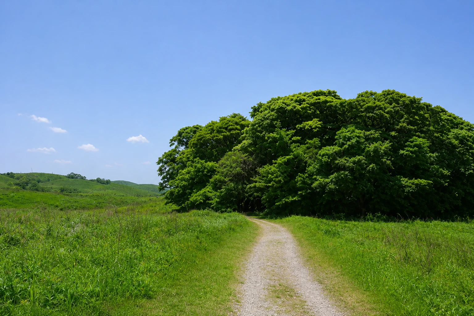
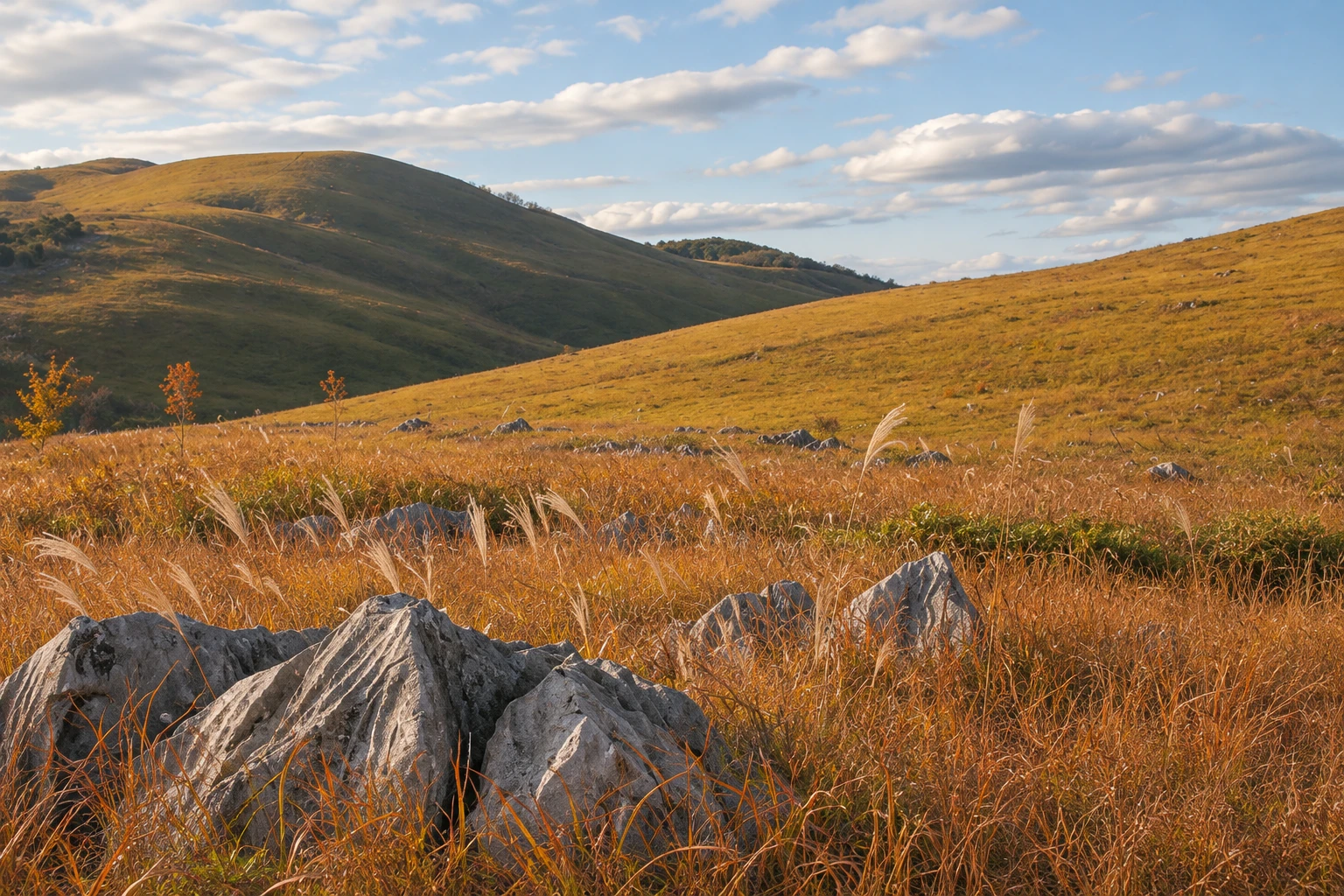
The landscape is rolling grassland dotted with thousands of gray limestone rocks that jut from the ground like tombstones or flocks of sheep. On the surface there are circular depressions, the dolines, where water descends into the caves. The grass is kept short by an annual burn carried out by residents in February, the yamayaki, which leaves the plateau black for a few weeks before the green returns in spring.
The karst viewpoint, near the elevator that rises from the Akiyoshido cave, shows the extent of the plateau. From there depart trails of various lengths, from 30 minutes to several hours, that cross the grass between the rocks with gentle climbs. The Akiyoshidai Museum explains the geology and displays coral and prehistoric animal fossils found in the area.
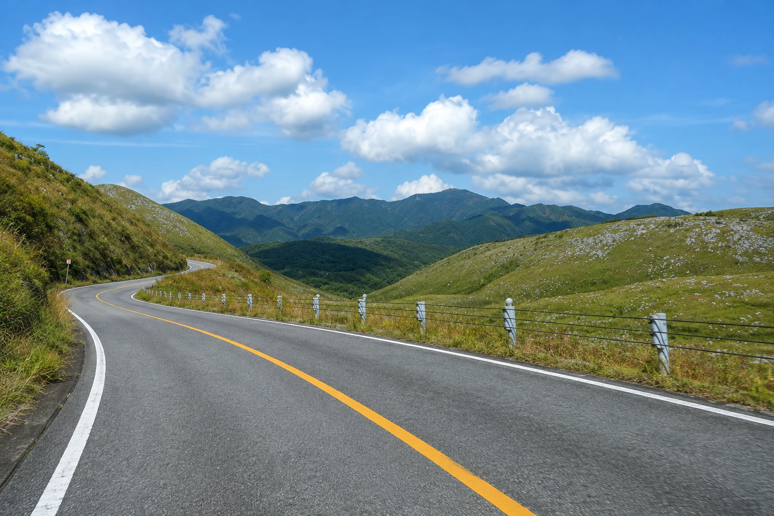
A scenic road crosses the plateau, with stops at overlooks. In autumn the grass turns golden and wildflowers appear at the end of summer. There is no shade on the trails, and the weather changes quickly: bring water, a hat and a warm layer.
Before you go
Practical information
Cidade Turismo reviews its information regularly, but something may have changed. Check with the place before planning your trip.
How much time to set aside
From 30 minutes at the viewpoint to half a day with the trails and the museum.
Best time
From May to September, when the grass is green, or in October and November, when it turns golden. The annual burn, in February, is usually held on a Sunday, with the date set according to the weather. Avoid midday in summer, as there is no shade.
How to get there
From the Akiyoshido terminal, take the cave elevator or a bus up to the karst viewpoint. By car, the scenic road crosses the plateau with parking areas.
Tip
Do the cave first and take the elevator up to the plateau. Walk at least 30 minutes on the trails to see the rocks up close, away from the viewpoint.
Get your questions answered
Frequently asked questions about Akiyoshidai
What is a karst plateau?
It is an area of limestone rock worn by rainwater, with exposed rocks, holes in the ground and caves beneath. Akiyoshidai is the largest in Japan.
When does the Akiyoshidai burn take place?
In February, on a day set according to the weather. Residents burn the grass to renew the field, and the plateau stays black for a few weeks.
Are there trails on Akiyoshidai?
Yes, from 30 minutes to several hours, starting at the karst viewpoint, across the grass between the rocks. There is no shade; bring water and a hat.
Is Akiyoshidai far from Hagi?
It is about 35 km south of Hagi, roughly 1 hour by bus, on the way to Shin-Yamaguchi.
Beyond the guide


