

 Brazil
 Antarctica
 Argentina
 Bolivia
 Chile
 Colombia
 Ecuador
 Guyana
 French Guiana
 Falkland Islands (Malvinas)
 Paraguay
 Peru
 Suriname
 Uruguay
 Venezuela
 Germany
 Austria
 Belgium
 Croatia
 Denmark
 Slovakia
 Slovenia
 Spain
 Finland
 France
 Greece
 the Netherlands
 Hungary
 Ireland
 Iceland
 Italy
 Luxembourg
 Norway
 Poland
 Portugal
 the United Kingdom
 the Czech Republic
 Sweden
 Switzerland
 Turkey
 Bermuda
 Canada
 the United States
 Greenland
 Mexico
 Saint Pierre and Miquelon
 the Dominican Republic
 South Africa
 Egypt
 Australia
 Fiji
 New Zealand
 Papua New Guinea
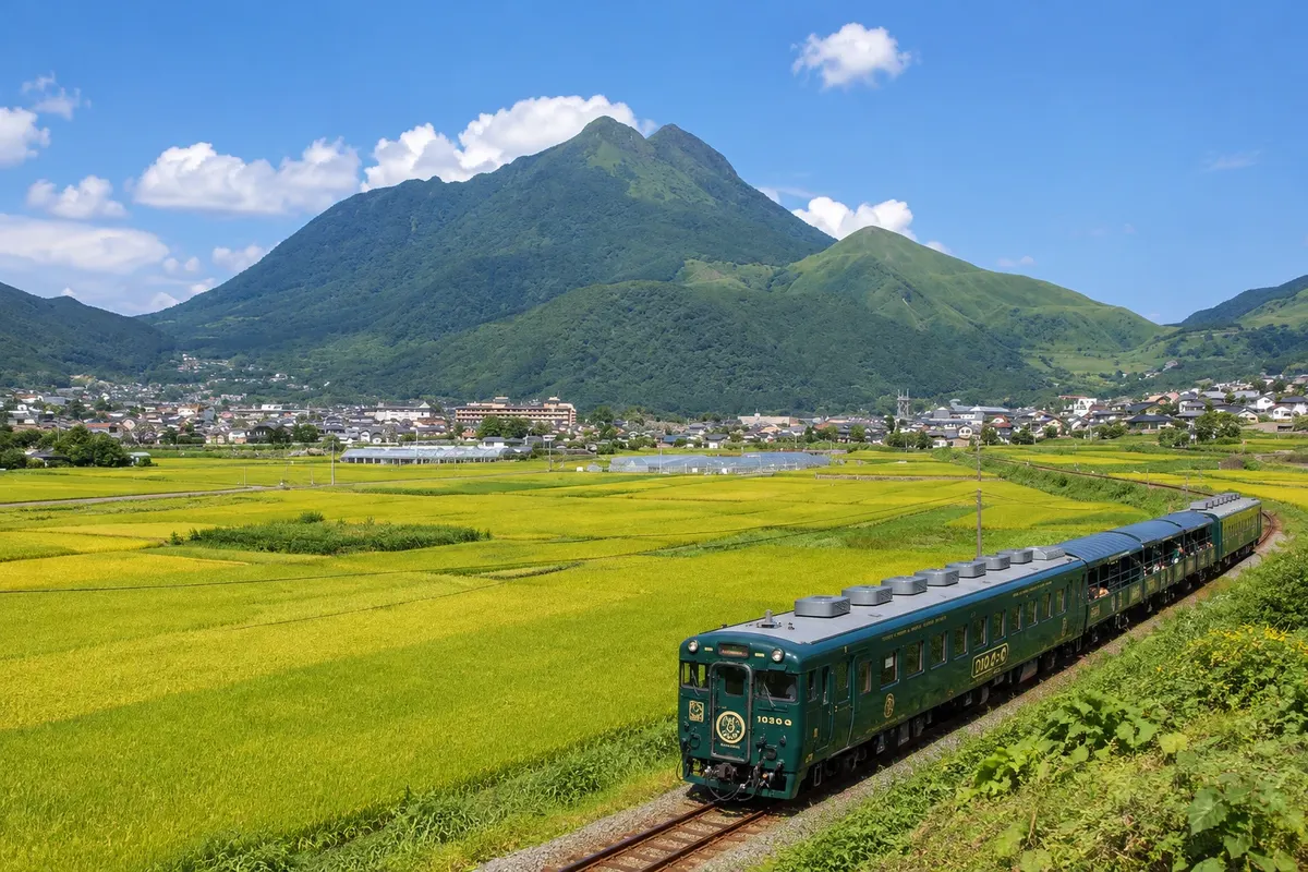
Mountain. · Yufu, Oita
Mount Yufu
A two-peaked volcano at 1,583 meters that dominates the Yufuin basin; a trail climbs through grasslands to the summit, with views toward Beppu and the bay.
Illustrative images. The pictures in this guide are illustrations based on the real place, not photographs, and may differ from it.

A look at the place
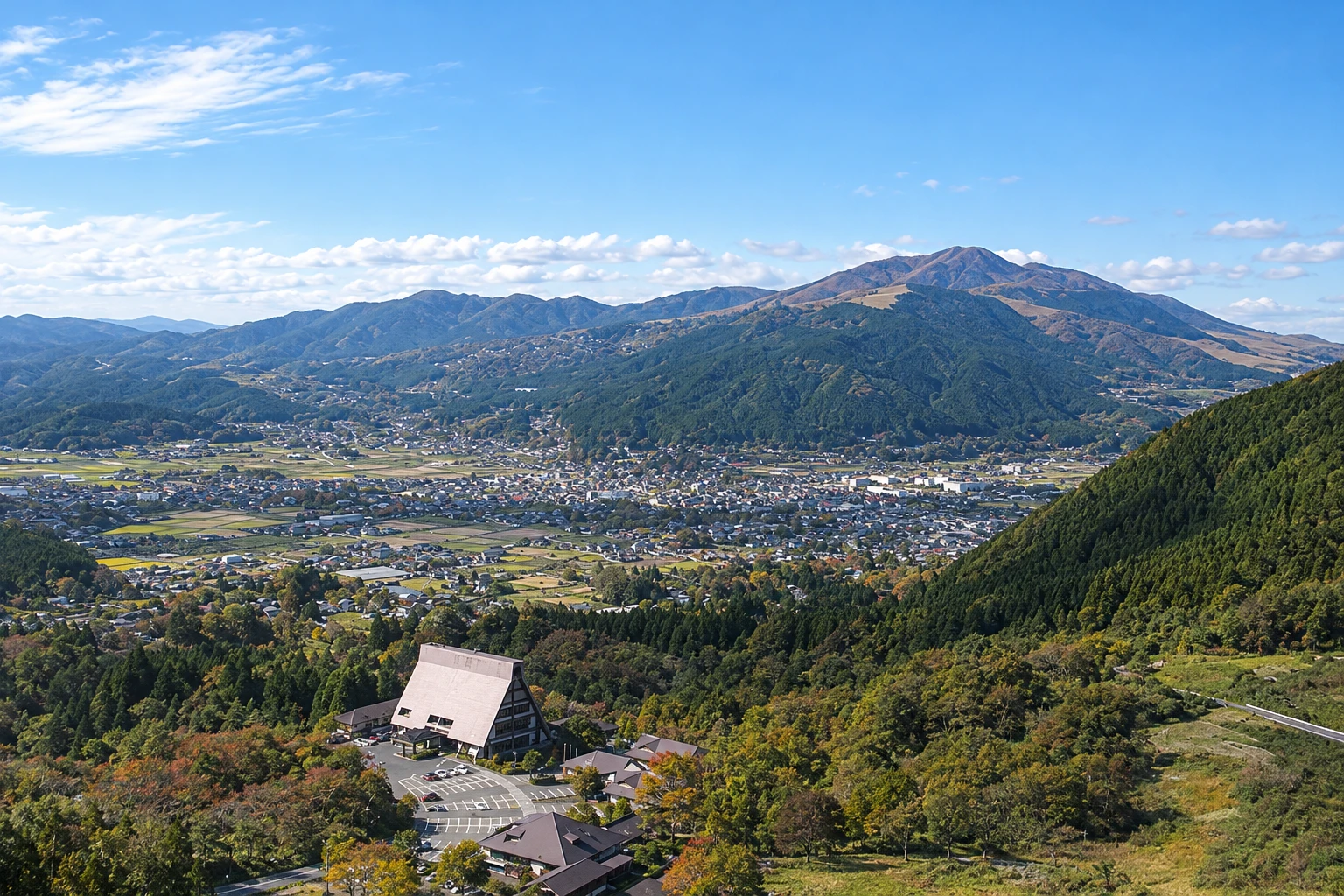
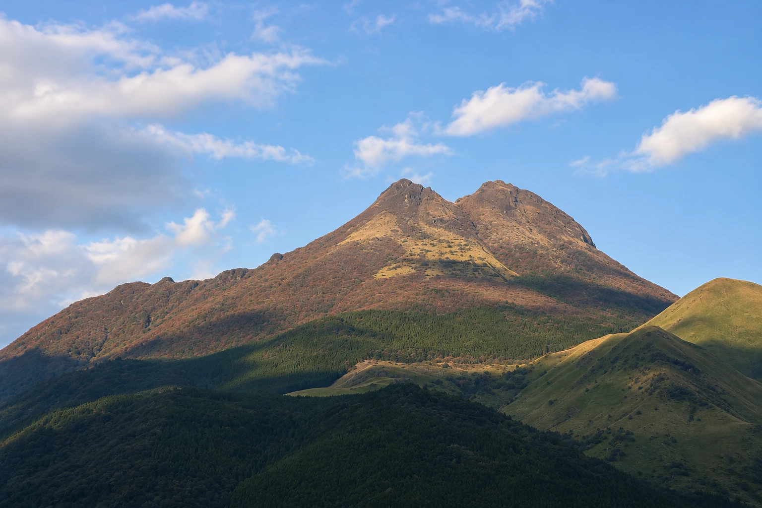
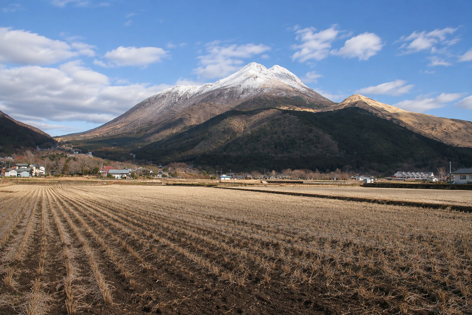
Mount Yufu in pictures
These pictures are illustrations based on the real place, not photographs. They may differ from the place.
Click the picture to enlarge it.
Discover
About Mount Yufu
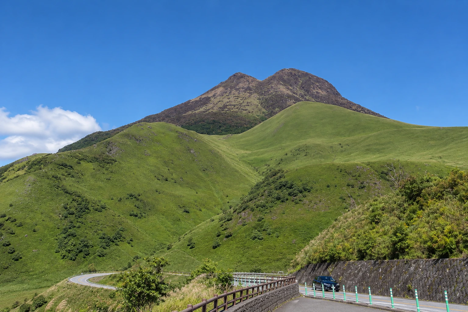
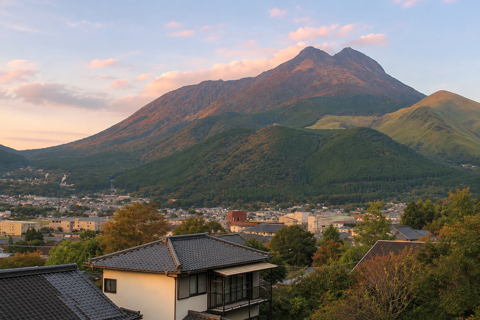
Mount Yufu is the volcano that closes off the Yufuin basin to the northeast, with two peaks — the west peak at 1,583 meters and the east peak at 1,580 meters — separated by a crater. When seen from the village, it has the shape of a grassy-coned slope and is also called Bungo Fuji because it resembles Mount Fuji in the former province of Bungo.
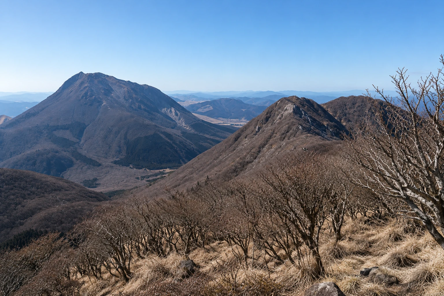
The most used trail starts at Yufudake Tozanguchi, on the road between Yufuin and Beppu, at about 780 meters elevation. The path first crosses a grass field and a strip of forest, then climbs in zigzags up the open slope to the saddle between the two peaks, Mataenbo. From there, short sections lead to each summit; the west peak has exposed rock sections with chains.
From the top, the view covers the Yufuin basin, the city of Beppu and the bay, and on clear days the Kuju mountains and the Aso region. In spring, the slopes are often burned to renew the grass, which then turns green again; in autumn the grass becomes golden.
The ascent does not require technical climbing, but it is long and steep, with no shade on the upper section and rapidly changing weather. Bring water, windproof clothing and trail footwear. Those who do not want to climb can view the mountain from the Yamanami road, from the bridges over the river or from the rice paddies in the Yufuin basin, where it appears whole with both peaks.
Before you go
Practical information
Cidade Turismo reviews its information regularly, but something may have changed. Check with the place before planning your trip.
How much time to set aside
About 4 to 5 hours to ascend and descend via the main trail to the east peak; allow more time for the west peak.
Best time
From April to November, on dry days. Spring and autumn usually have more comfortable temperatures; summer is hot and humid on the exposed sections. In winter there can be ice and snow on the summit. Start early and check the weather forecast before you go.
How to get there
The bus between Yufuin and Beppu stops at Yufudake Tozanguchi, about 15 minutes from Yufuin Station. By car, there is parking at the trailhead.
Tip
Climb only to the saddle and the east peak if you have no experience with rocky sections. Arrange your return bus time before you start, because departures are infrequent.
Get your questions answered
Frequently asked questions about Mount Yufu
Is the ascent of Mount Yufu difficult?
It is long and steep, with about 800 meters of elevation gain, but it does not require technical skills up to the east peak. The west peak has exposed rock with chains. Bring water, windproof clothing and trail footwear.
Where does the Mount Yufu trail start?
At Yufudake Tozanguchi, on the road between Yufuin and Beppu, with a bus stop and parking. It is about 15 minutes by bus from Yufuin Station.
Can you climb Mount Yufu in winter?
There can be ice and snow on the summit between December and February, and the trail requires winter equipment and experience. The common season runs from April to November.
Where can you see Mount Yufu without climbing it?
From the bridges over the river near Yufuin Station, from the rice paddies in the basin and from the Yamanami road, which runs along the slope on the way to Aso.
Beyond the guide


