

 Brazil
 Antarctica
 Argentina
 Bolivia
 Chile
 Colombia
 Ecuador
 Guyana
 French Guiana
 Falkland Islands (Malvinas)
 Paraguay
 Peru
 Suriname
 Uruguay
 Venezuela
 Germany
 Austria
 Belgium
 Croatia
 Denmark
 Slovakia
 Slovenia
 Spain
 Finland
 France
 Greece
 the Netherlands
 Hungary
 Ireland
 Iceland
 Italy
 Luxembourg
 Norway
 Poland
 Portugal
 the United Kingdom
 the Czech Republic
 Sweden
 Switzerland
 Turkey
 Bermuda
 Canada
 the United States
 Greenland
 Mexico
 Saint Pierre and Miquelon
 the Dominican Republic
 South Africa
 Egypt
 Australia
 Fiji
 New Zealand
 Papua New Guinea
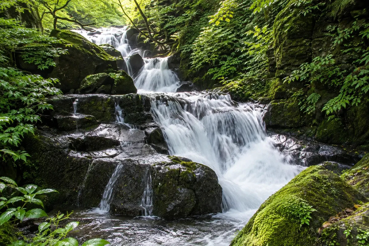
Stream · Aomori, Aomori
Oirase Gorge
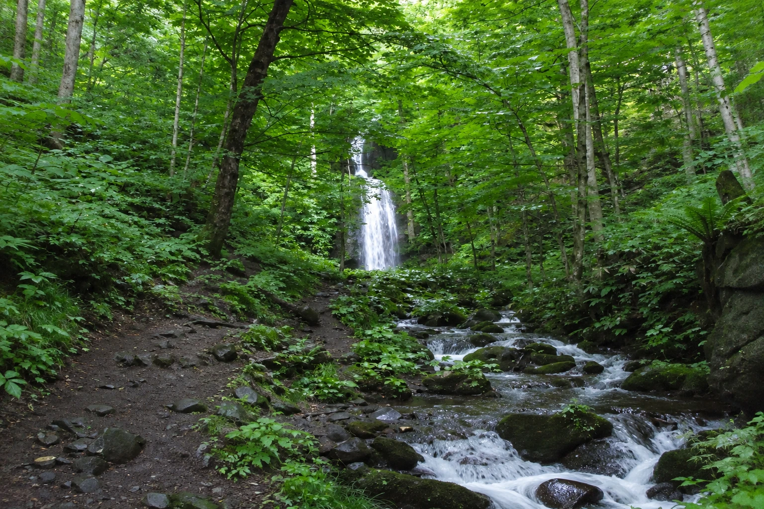
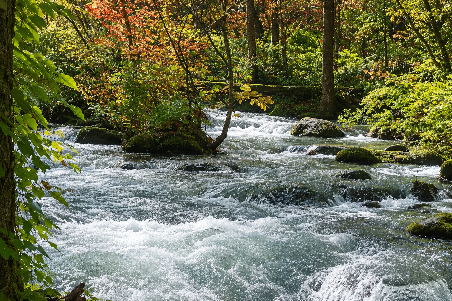
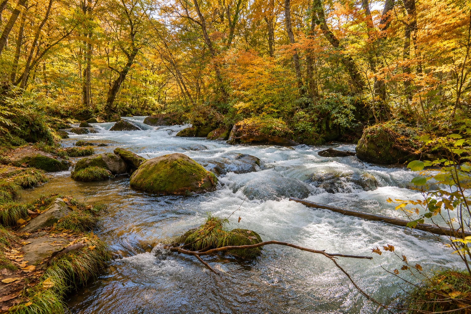
A 14 km stream that flows from Lake Towada through beech forests, moss-covered rocks and waterfalls, accompanied by a waterside trail and a road.
Illustrative images. The pictures in this guide are illustrations based on the real place, not photographs, and may differ from it.

A look at the place
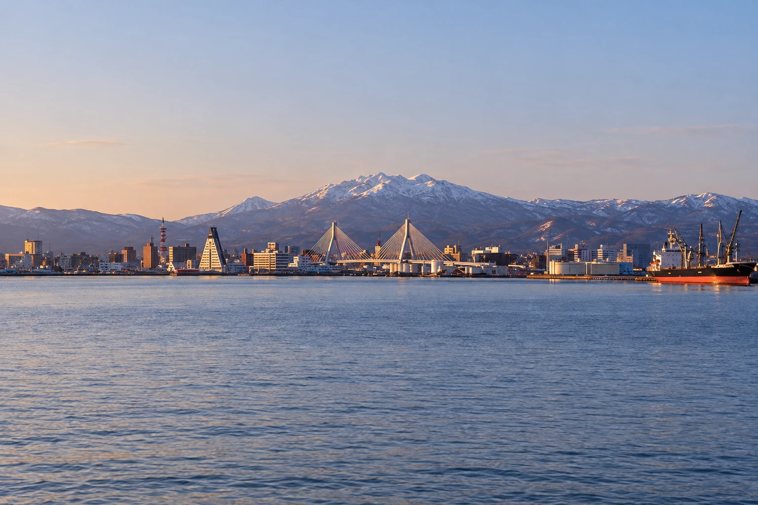
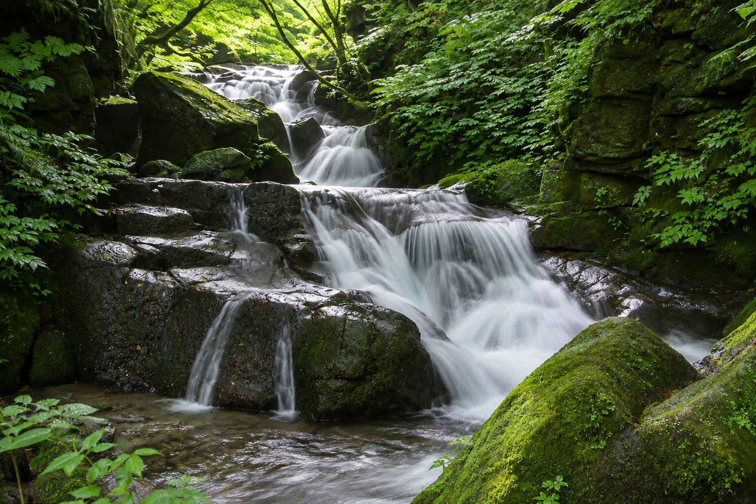
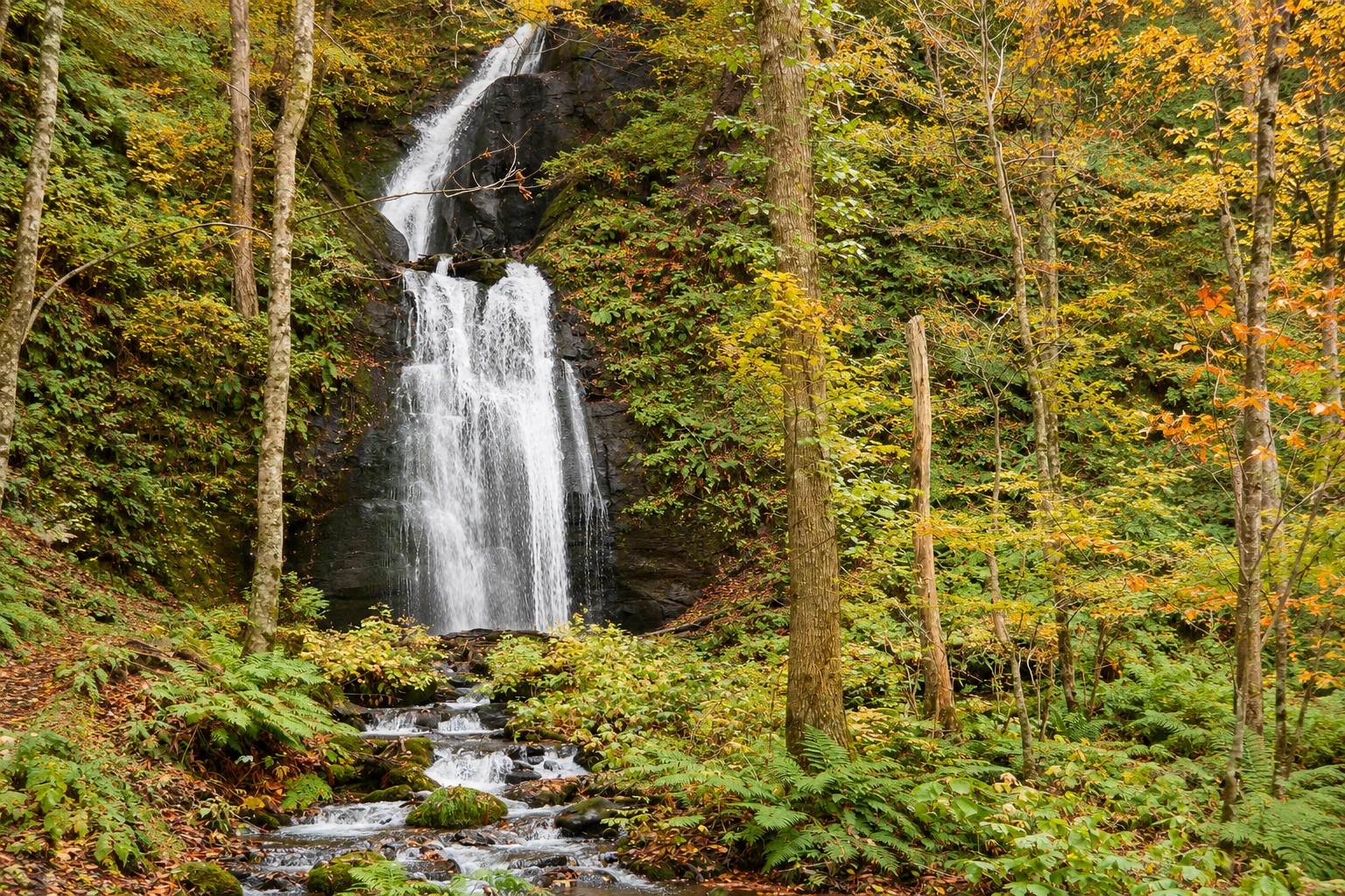
Oirase Gorge in pictures
These pictures are illustrations based on the real place, not photographs. They may differ from the place.
Click the picture to enlarge it.
Discover
About Oirase Gorge
The Oirase stream, in Japanese Oirase Keiryu, is the only river that drains Lake Towada. It runs for about 14 km, from Nenokuchi on the lake shore to Yakeyama in Towada-Hachimantai National Park, in southern Aomori Prefecture. It is designated as a Special Place of Scenic Beauty and a Natural Monument.
Along the way the water flows through rapids, calm pools and a series of waterfalls that run down the valley walls or fall into the channel itself. The best-known is Choshi Otaki on the main course, about 7 meters high and 20 meters wide, which acts as a natural barrier to fish from the lake. Rocks like Ishigedo, supported by a tree, and stretches such as Kumoi no Taki and Ashura no Nagare appear in almost every photo.
The forest is dominated by beeches and maples, and rocks and logs are covered in mosses—hundreds of species can be found in the valley. A mostly flat trail follows the stream, almost always close to the water and crossing the road at several points. You can walk the whole section in about 5 hours or do only part of it, using buses that stop along the way.
The Yakeyama visitor center, the Oirase Keiryukan, lends magnifying glasses to observe the mosses and provides information about the trail. In autumn the valley usually turns yellow and red and gets crowded. In winter snow covers the stream and the waterfalls freeze; there are guided night tours to see the illuminated ice.
Before you go
Practical information
Cidade Turismo reviews its information regularly, but something may have changed. Check with the place before planning your trip.
How much time to set aside
From 2 to 5 hours, depending on the section walked; the entire route from Yakeyama to Nenokuchi takes about 5 hours.
Best time
Foliage usually peaks in mid to late October. May and June bring fresh green, and light rainy days make the moss more vivid. In winter, from December to March, the waterfalls freeze and access depends on road conditions. Check before you go.
How to get there
From Aomori Station, the JR bus to Lake Towada passes over the Hakkoda hills and stops at several points along the stream, with Yakeyama about 2h20 away in season. By car it's about 70 km, with parking at Ishigedo and Yakeyama. During the autumn high season the road may have car restrictions on some days.
Tip
Walk upstream, from Yakeyama toward the lake: the waterfalls face you and the final stretch reaches Nenokuchi, where the lake boat departs. To do just part, get off the bus at Ishigedo and walk to Choshi Otaki.
Get your questions answered
Frequently asked questions about Oirase Gorge
How long is the Oirase Stream trail?
The whole route, about 14 km between Yakeyama and Nenokuchi, takes around 5 hours on foot. Many people do only a section of 1 to 3 hours, using the buses that stop along the stream.
Is the Oirase trail difficult?
No. It is almost flat and follows the water, with roots and rocks in some sections. Wear closed shoes, because the ground is often wet.
When is the best time to visit Oirase?
Mid to late October for the foliage, and May and June for fresh green leaves. In winter the waterfalls freeze and there are guided tours.
How do you reach the Oirase Stream without a car?
By the JR bus that links Aomori Station to Lake Towada, with stops along the stream during the season. There are also buses from Hachinohe on the shinkansen line.
Beyond the guide


