

 Brazil
 Antarctica
 Argentina
 Bolivia
 Chile
 Colombia
 Ecuador
 Guyana
 French Guiana
 Falkland Islands (Malvinas)
 Paraguay
 Peru
 Suriname
 Uruguay
 Venezuela
 Germany
 Austria
 Belgium
 Croatia
 Denmark
 Slovakia
 Slovenia
 Spain
 Finland
 France
 Greece
 the Netherlands
 Hungary
 Ireland
 Iceland
 Italy
 Luxembourg
 Norway
 Poland
 Portugal
 the United Kingdom
 the Czech Republic
 Sweden
 Switzerland
 Turkey
 Bermuda
 Canada
 the United States
 Greenland
 Mexico
 Saint Pierre and Miquelon
 the Dominican Republic
 South Africa
 Egypt
 Australia
 Fiji
 New Zealand
 Papua New Guinea
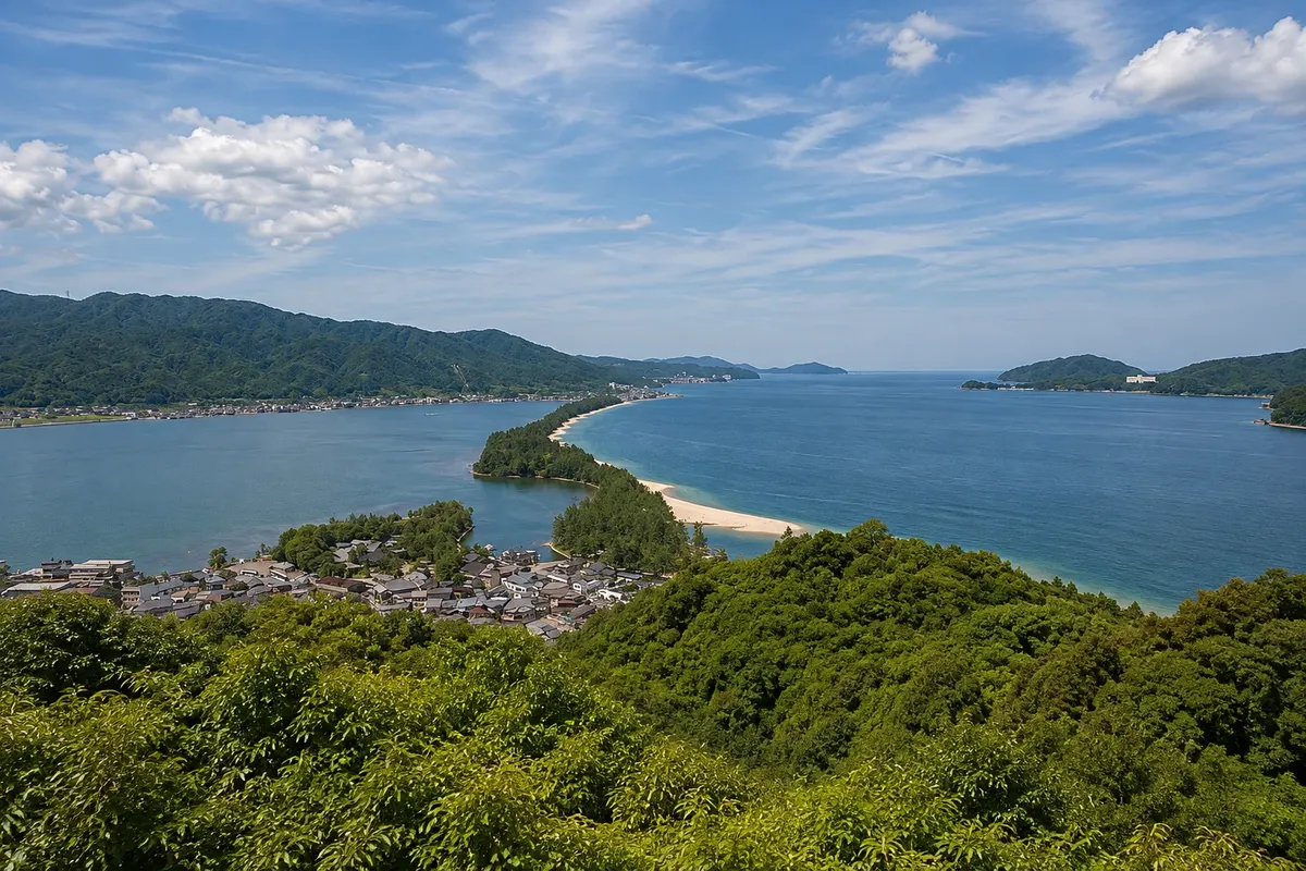
Natural scenery · Miyazu, Kyoto
Amanohashidate
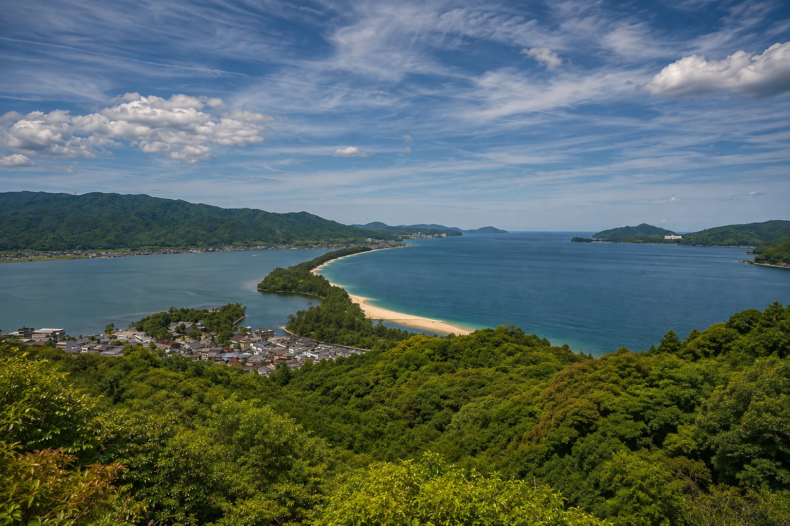
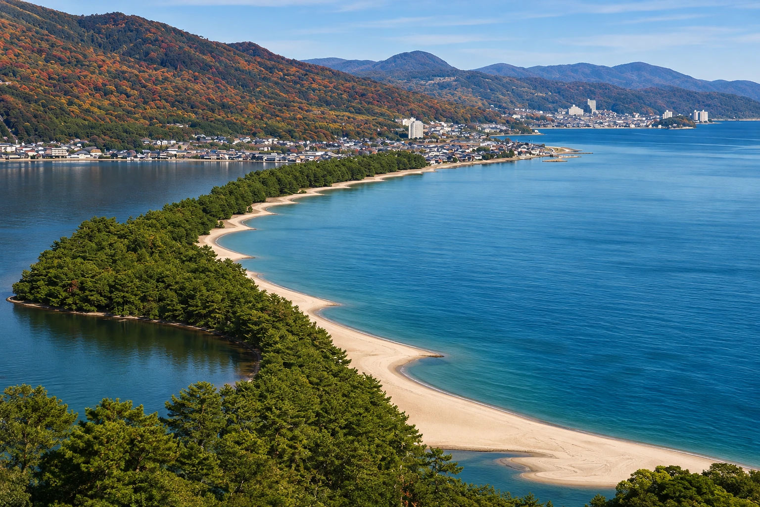
A sandbar about 3.6 km long, covered by thousands of pine trees, that crosses Miyazu Bay and is one of Japan’s three classic views, with Chion‑ji Temple and a swing bridge on the south side.
Illustrative images. The pictures in this guide are illustrations based on the real place, not photographs, and may differ from it.

A look at the place
Amanohashidate in pictures
These pictures are illustrations based on the real place, not photographs. They may differ from the place.
Click the picture to enlarge it.
Discover
About Amanohashidate
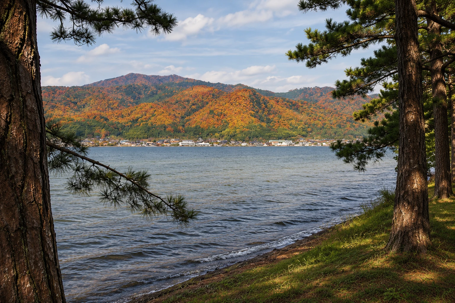
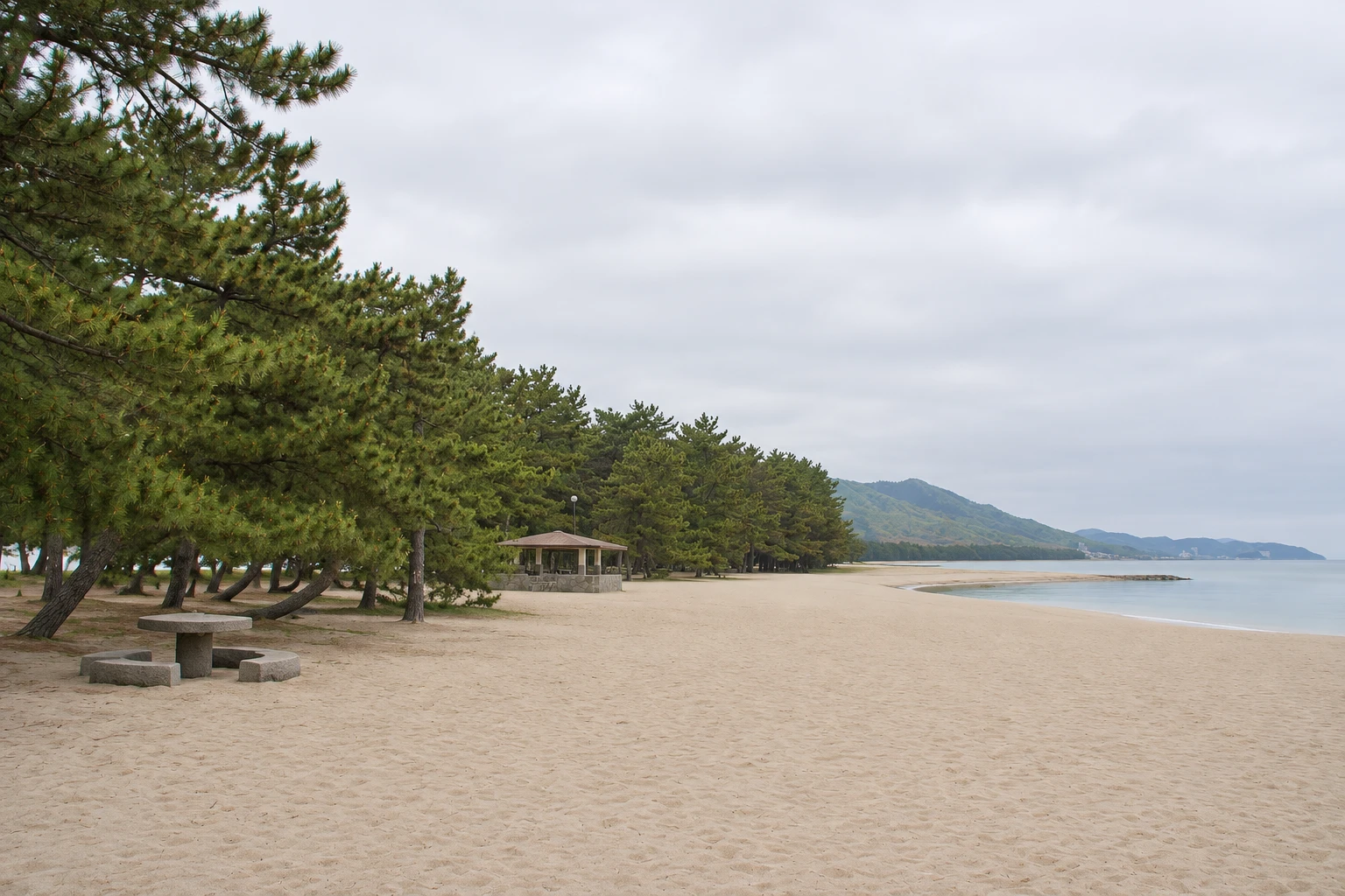
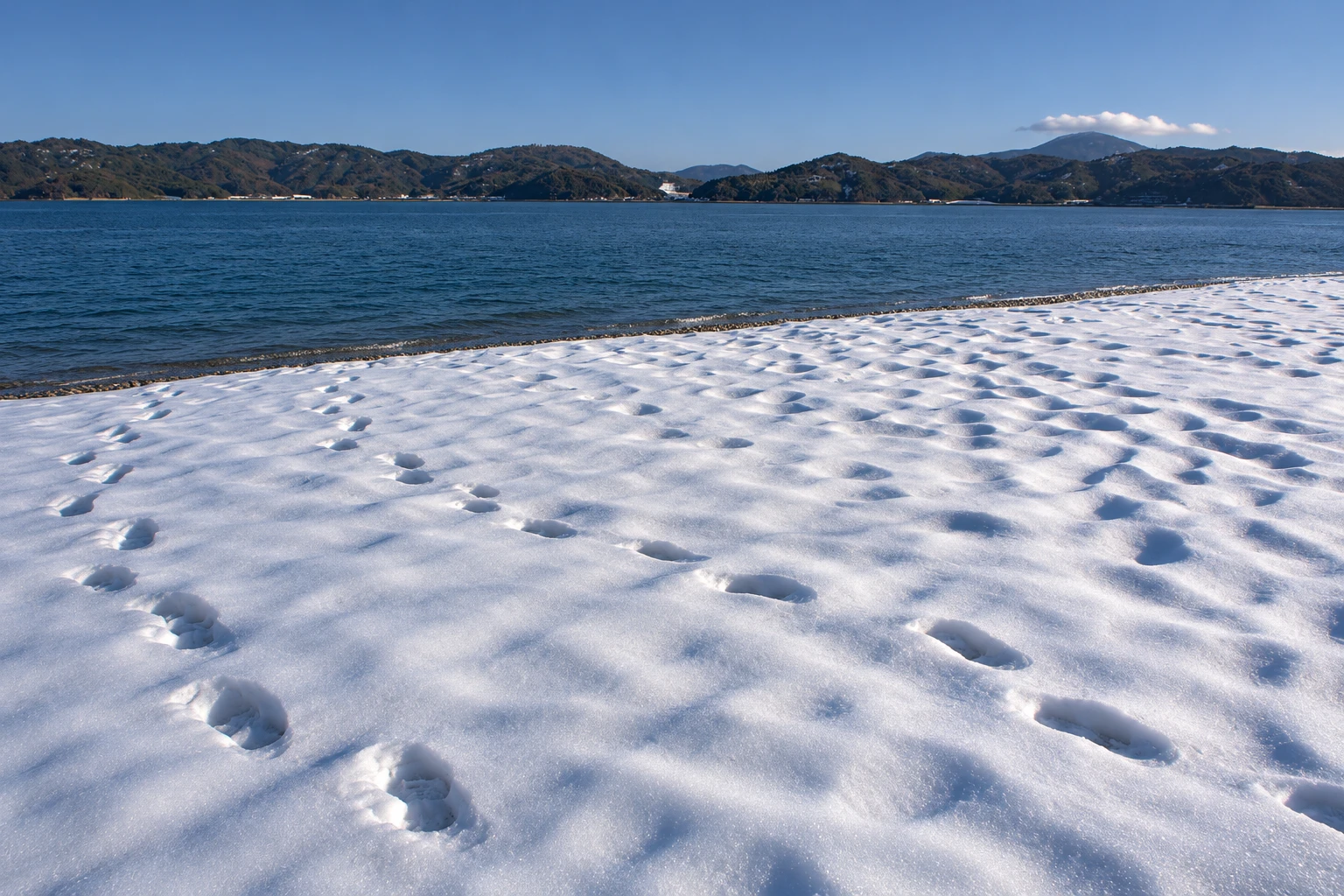
Amanohashidate, the “bridge to heaven,” is a sandbar about 3.6 km long and 20 to 170 meters wide that crosses Miyazu Bay, separating the open sea from Aso Lagoon. It formed over thousands of years from sand carried by rivers and currents. It has thousands of pines, some centuries old and with individual names, and a path that runs from end to end.
Local legend says it was the ladder used by a god to descend from the heavens, which fell while he slept. In the 17th century scholar Hayashi Gahō included it among the country’s three most famous views, with Matsushima and Miyajima, and the list stuck. It is designated a Special Place of Scenic Beauty, Japan’s highest classification for landscapes.
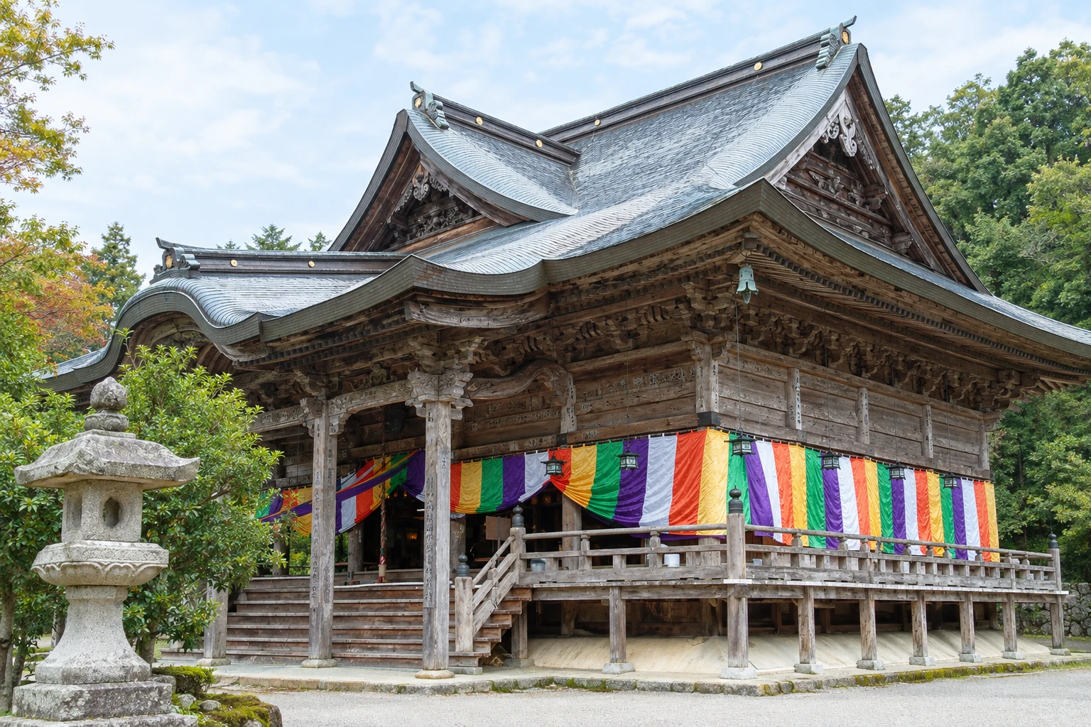
On the south side, near Amanohashidate Station, stands Chion‑ji Temple, dedicated to Monju, the bodhisattva of wisdom, much visited by students before exams. From there, the swing bridge Kaisenkyo turns to let boats pass. On the sandbar is the small Hashidate Myojin Shrine, with a freshwater well, and white‑sand beaches on the bay side. At the other end is the Fuchu neighborhood, with Kono Shrine and Kasamatsu Park.
The crossing on foot takes about 50 minutes, and by bicycle—rented at shops on both sides—about 20 minutes. Sightseeing boats cross the bay between the two ends in about 12 minutes, with gulls following the boat. The shape of the sandbar is best seen from the View Land viewpoint in the south and Kasamatsu Park in the north.
Before you go
Practical information
Cidade Turismo reviews its information regularly, but something may have changed. Check with the place before planning your trip.
How much time to set aside
From 2 hours to half a day, including the crossing and a viewpoint.
Best time
Early morning or late afternoon, with shade under the pines; the crossing is most pleasant in the shoulder seasons. Check boat and swing‑bridge schedules.
How to get there
The south tip is about a 5‑minute walk from Amanohashidate Station on the Kyoto Tango Railway.
Tip
Walk or cycle one way and return by boat, to see the sandbar from two angles. Climb one of the viewpoints before crossing.
Official website
Get your questions answered
Frequently asked questions about Amanohashidate
How long does it take to cross Amanohashidate?
About 50 minutes on foot or 20 minutes by bicycle along the pine-lined path. The boat crossing takes about 12 minutes.
Why is Amanohashidate famous?
It is on the traditional list of Japan’s three most famous landscapes: a sandbar lined with pines that crosses the bay like a bridge.
Can you rent a bicycle in Amanohashidate?
Yes, at shops near the station and Chion-ji Temple in the south, and in the Fuchu neighborhood in the north.
What is the Amanohashidate swing bridge?
The Kaisenkyo on the south side, which rotates to let boats pass between the bay and the lagoon. The maneuver happens several times a day.
Beyond the guide


