

 Brazil
 Antarctica
 Argentina
 Bolivia
 Chile
 Colombia
 Ecuador
 Guyana
 French Guiana
 Falkland Islands (Malvinas)
 Paraguay
 Peru
 Suriname
 Uruguay
 Venezuela
 Germany
 Austria
 Belgium
 Croatia
 Denmark
 Slovakia
 Slovenia
 Spain
 Finland
 France
 Greece
 the Netherlands
 Hungary
 Ireland
 Iceland
 Italy
 Luxembourg
 Norway
 Poland
 Portugal
 the United Kingdom
 the Czech Republic
 Sweden
 Switzerland
 Turkey
 Bermuda
 Canada
 the United States
 Greenland
 Mexico
 Saint Pierre and Miquelon
 the Dominican Republic
 South Africa
 Egypt
 Australia
 Fiji
 New Zealand
 Papua New Guinea
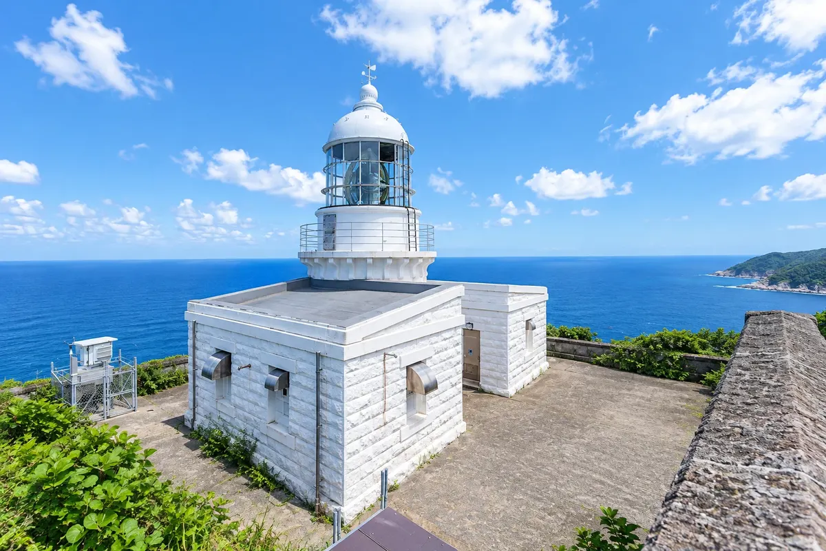
Cape · Ine, Kyoto
Kyogamisaki Lighthouse
The northern tip of the Tango Peninsula, with columnar rock cliffs and a white lighthouse from 1898 on the cliff top, above the Sea of Japan.
Illustrative images. The pictures in this guide are illustrations based on the real place, not photographs, and may differ from it.

A look at the place
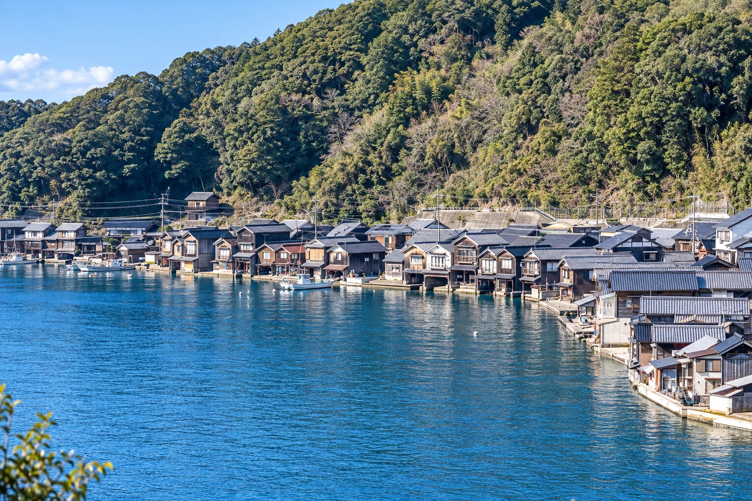
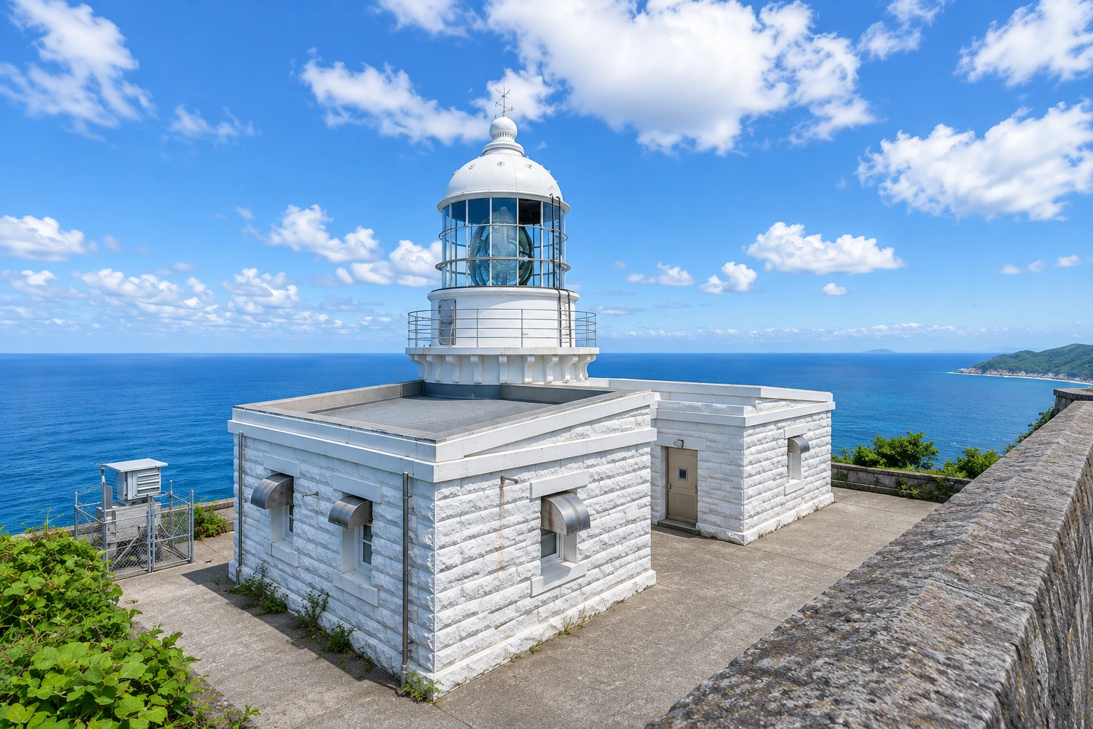
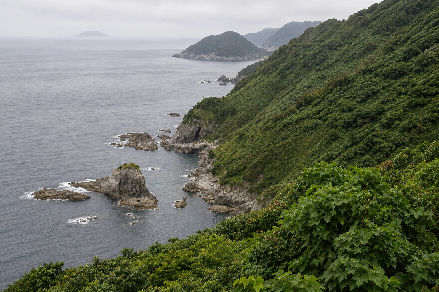
Kyogamisaki Lighthouse in pictures
These pictures are illustrations based on the real place, not photographs. They may differ from the place.
Click the picture to enlarge it.
Discover
About Kyogamisaki Lighthouse
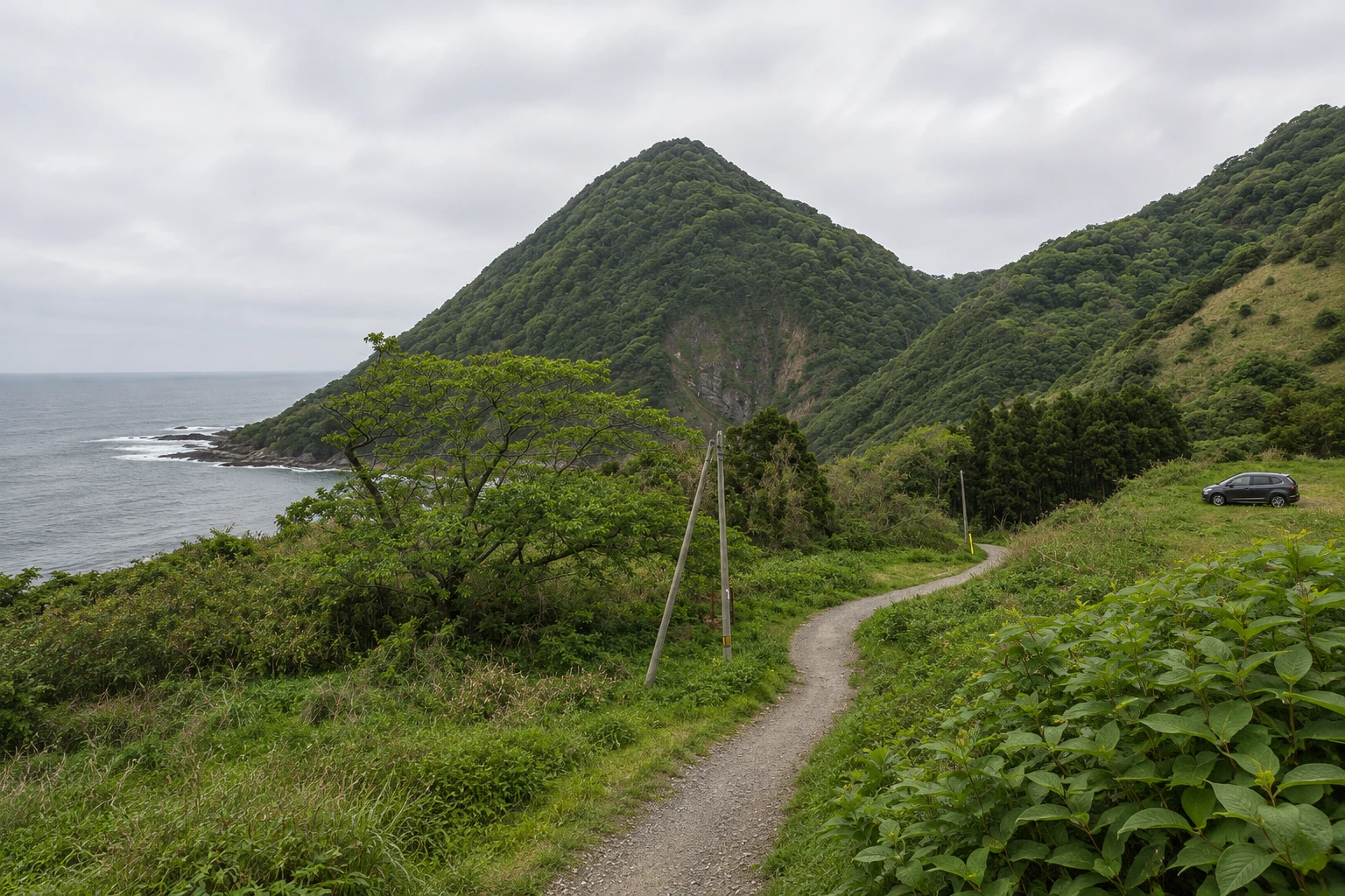
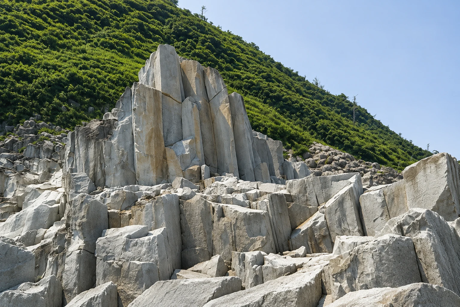
Cape Kyogamisaki is the northern tip of the Tango Peninsula, in the city of Kyotango, about 15 km from the village of Ine by the coastal road. It is the northernmost point of the Kinki region, and the cliffs fall straight into the Sea of Japan. At the cape’s base, volcanic rock has split into columns that, seen from the sea, look like stacked rolls of documents, which is the origin of the name, the cape of documents.
Kyogamisaki Lighthouse, first lit in 1898, stands about 140 meters above the sea on a platform partway up the slope. It is a white stone tower that still houses a large first-order Fresnel lens, rare in the country. It is among Japan’s protected historic lighthouses.
From the parking area to the lighthouse, the trail takes 15 to 20 minutes through a forest path with steps and climbs. At the end, the view opens to the sea, the cliffs and, on clear days, the distant coastline. The lighthouse itself is not open inside, but the surrounding courtyard is accessible.
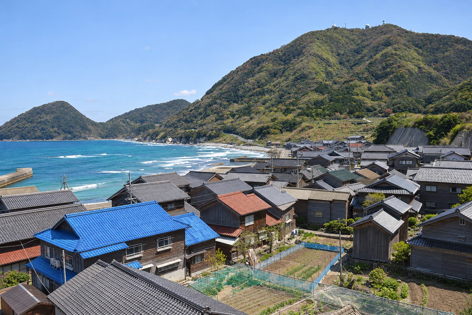
On the road between Ine and the cape, the coastal road passes fishing villages, small beaches and viewpoints over the sea. The west-coast sunset and snowy winter scenery draw photographers, but the road can have snow and ice in that season.
Before you go
Practical information
Cidade Turismo reviews its information regularly, but something may have changed. Check with the place before planning your trip.
How much time to set aside
About 1 to 1.5 hours, including the trail.
Best time
In fair weather, during the day. In winter the road can have snow and ice, and winds are often strong. Wear closed shoes for the trail.
How to get there
By car, about 20 minutes from Ine along the coastal road. Peninsula buses stop near the cape but have limited departures.
Tip
Bring water and shoes with good grip: the trail ascends and descends through the forest. Combine with a visit to Ine the same day if you have a car.
Get your questions answered
Frequently asked questions about Kyogamisaki Lighthouse
Where is Cape Kyogamisaki?
At the northern tip of the Tango Peninsula, in Kyotango, about 15 km from Ine by road. It is the northernmost point of the Kinki region.
Can you enter Kyogamisaki Lighthouse?
Not inside, but the courtyard around the lighthouse is accessible and offers sea views.
How long is the trail to Kyogamisaki Lighthouse?
15 to 20 minutes from the parking area, with steps and climbs through the forest.
How to reach Cape Kyogamisaki without a car?
By peninsula buses, which have only a few departures per day. Check schedules before leaving Ine or Amanohashidate.
Beyond the guide


