Cape Cod and the Islands

Massachusetts · the United States

Cape Cod and the Islands

The sandy arm of Massachusetts into the Atlantic, with the dunes and beaches of the Cape Cod National Seashore, Provincetown at the tip, and the islands of Nantucket and Martha's Vineyard reached by ferry.

New England

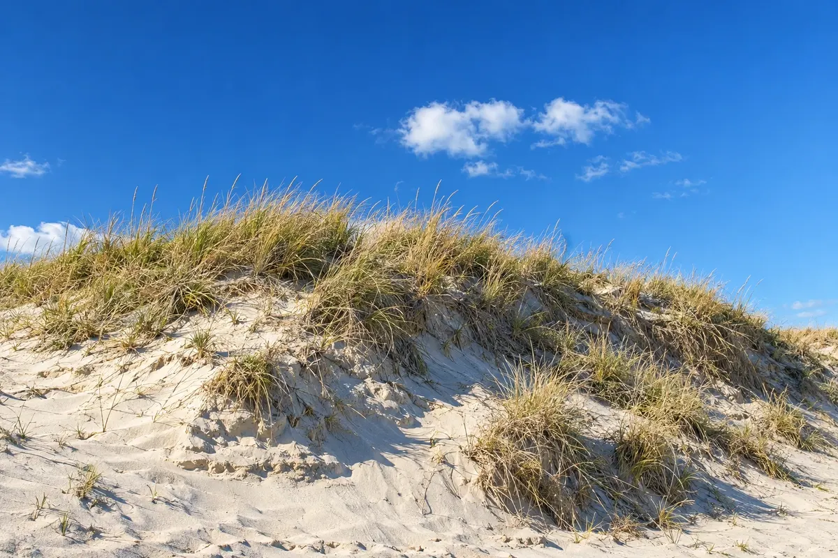
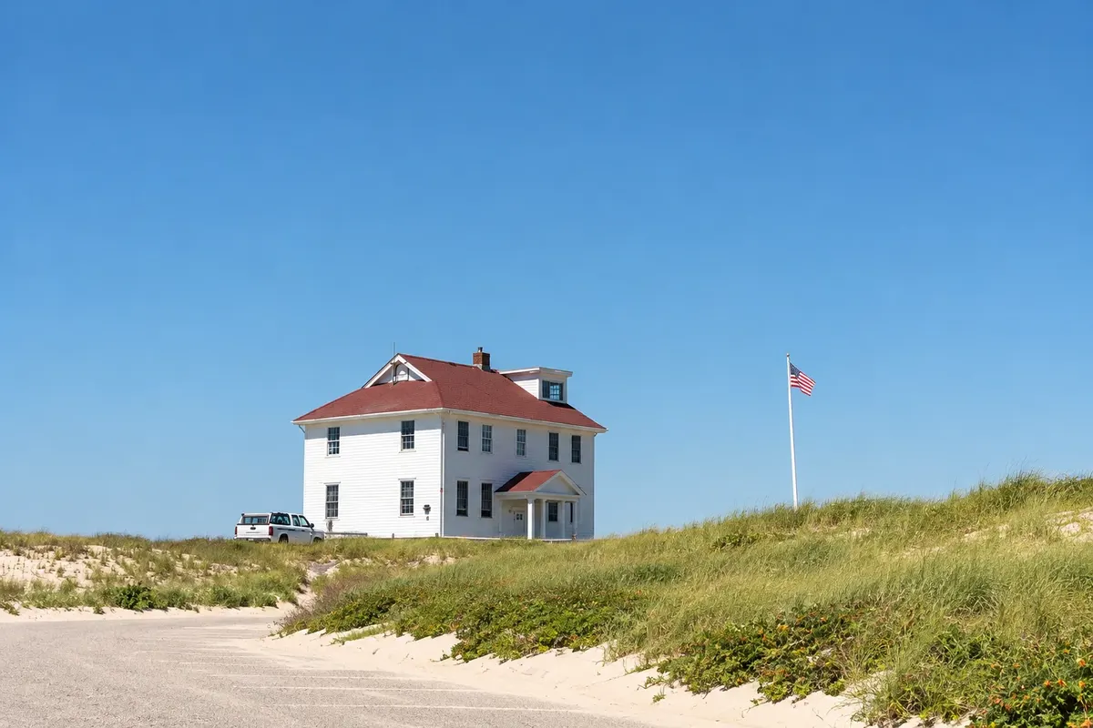
In the photo: Dunes of Cape Cod

Illustrative images. The pictures in this guide are illustrations based on the real place, not photographs, and may differ from it.

Get to know the place

A region to enjoy
at your own pace.

Cape Cod is a peninsula shaped like a bent arm that extends about 100 km out from the mainland in southeastern Massachusetts. The Cape Cod Canal, opened in the early 20th century, separates it from the rest of the state, and two bridges connect it. The landscape consists of dunes, freshwater ponds, salt marshes, low pines and villages of wooden houses with weathered cedar shingles.

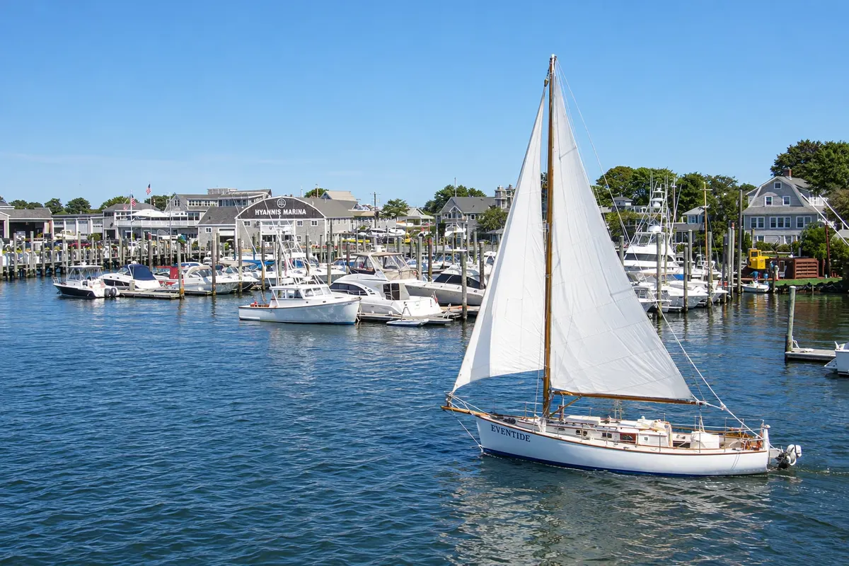
Hyannis, on the south side, is the main commercial center and the ferry port for the islands. The Kennedy family spent summers in nearby Hyannis Port, and a museum on the main street tells that story. The south side has calm-water beaches facing the Nantucket Sound; the Atlantic side, to the east, has surf, sand cliffs and the Cape Cod National Seashore, protected since 1961.

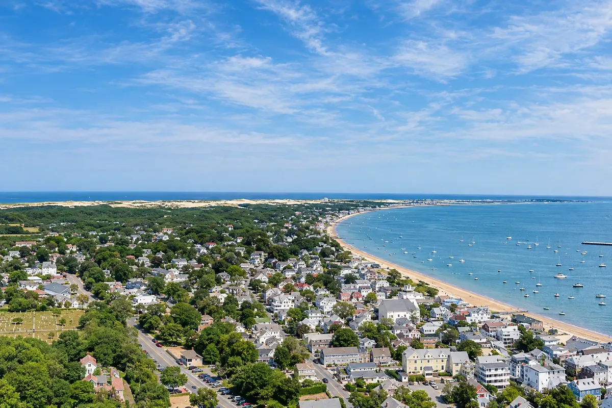
At the tip of the peninsula is Provincetown, where the Mayflower pilgrims landed in 1620 before continuing to Plymouth. The village has been an artists’ colony since the late 19th century and one of the country’s best-known LGBTQ+ communities, with galleries, theater and the granite Pilgrim Monument tower.

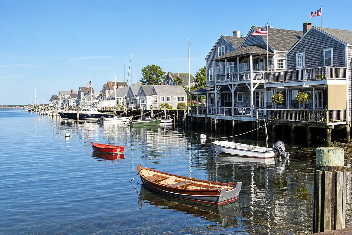
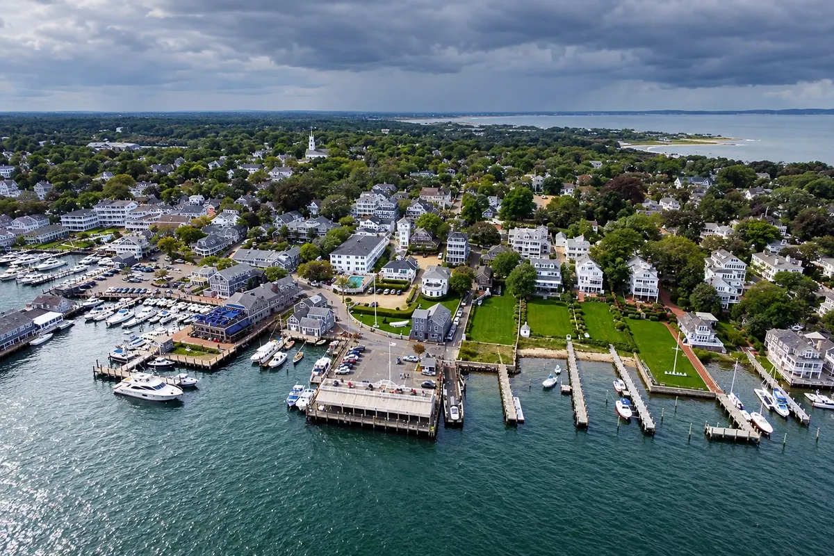
To the south, the islands of Nantucket and Martha's Vineyard made their living from whaling in the 18th and 19th centuries. Nantucket preserves a stone‑street downtown and captains’ houses; Martha's Vineyard has villages with different characters, like Edgartown with white houses, Oak Bluffs with colorful cottages, and the clay cliffs of Aquinnah.

This destination brings together 4 cities: Hyannis, Provincetown, Nantucket, Edgartown.

Share: WhatsApp
Traveler, share your experiences through photos Up to 5 photos of each place you visited.

One destination, many paths

The cities on this trip

Start with one city or combine several in your itinerary.

Where Cape Cod and the Islands is
ProvincetownEdgartownNantucketHyannis

Boundaries: U.S. Census Bureau / geoBoundaries (public domain). Adapted by Cidade Turismo.

How to get there: Cape Cod and the Islands

✈ Cape Cod Gateway Airport (HYA) · 3 km to Hyannis

✈ Boston Logan International Airport (BOS), in Boston · 120 km to Hyannis

From Boston to Hyannis is about an hour and a half by car without traffic, or by bus. Ferries leave Hyannis for Nantucket and Woods Hole for Martha's Vineyard; in season there are fast boats from Boston to Provincetown. Small airports serve Hyannis (HYA), Provincetown (PVC), Nantucket (ACK) and Martha's Vineyard (MVY).

Suggested arrival point: Hyannis

Provincetown
Massachusetts · Cape Cod and the Islands

Provincetown

Village at the tip of Cape Cod, surrounded by dunes and beaches, where the Mayflower pilgrims arrived in 1620. An artists’ colony since the late 19th century, it has galleries, a theater and Commercial Street, a narrow road along the harbor. On the hilltop stands the Pilgrim Monument, a granite tower with views over the bay. Around it are the dunes and beaches of the Cape Cod National Seashore. Whale‑watching boats depart from the pier.

The local experience

Things to do in Cape Cod and the Islands

Cape Cod National Seashore
Provincetown · Massachusetts · National park

Cape Cod National Seashore

Protected area of about 64 km of beaches, dunes, sand cliffs, marshes and lighthouses on the Atlantic side of Cape Cod, from Chatham to Provincetown, created in 1961.

Edgartown Lighthouse
Edgartown · Massachusetts · Lighthouse

Edgartown Lighthouse

A white iron lighthouse at the entrance to Edgartown Harbor, reached via a sand spit, with views over the harbor and Chappaquiddick Island.

John F. Kennedy Hyannis Museum
Hyannis · Massachusetts · Museum

John F. Kennedy Hyannis Museum

Museum on Hyannis’s Main Street about John F. Kennedy’s summers with his family on Cape Cod, with photographs, videos and personal items.

Nantucket Whaling Museum
Nantucket · Massachusetts · Museum

Nantucket Whaling Museum

Museum in an old 1847 sperm-candle warehouse by the harbor, about the era when Nantucket was the world capital of whaling, featuring the skeleton of a sperm whale about 14 meters long.

See 9 more places in Cape Cod and the Islands
Nantucket Historic District
Nantucket · Massachusetts · Downtown historic district

Nantucket Historic District

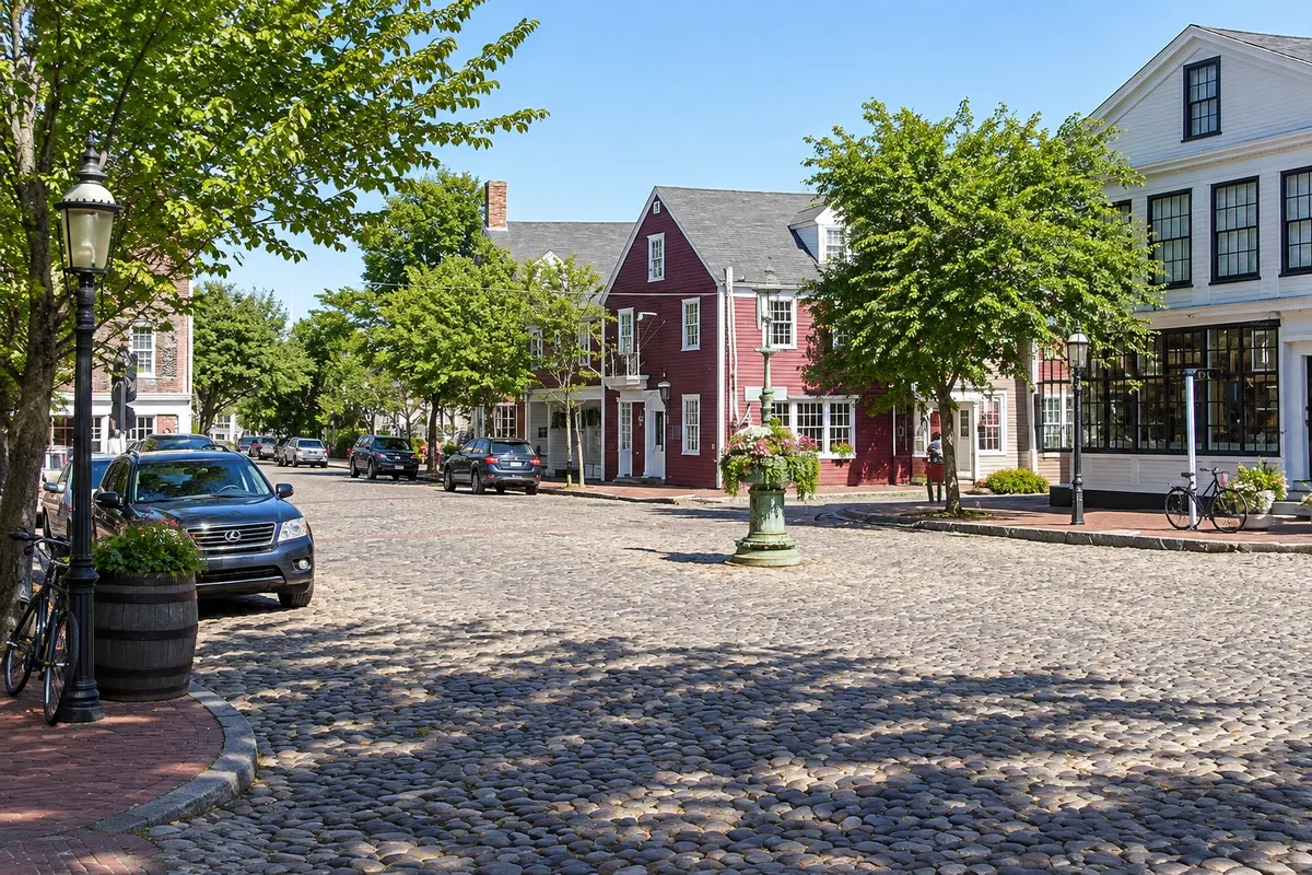
Nantucket’s town center, with cobblestone streets, wooden and brick houses from the 18th and 19th centuries, merchant mansions built on whaling oil wealth and the harbor.

Oak Bluffs Cottages
Edgartown · Massachusetts · Historic ensemble

Oak Bluffs Cottages

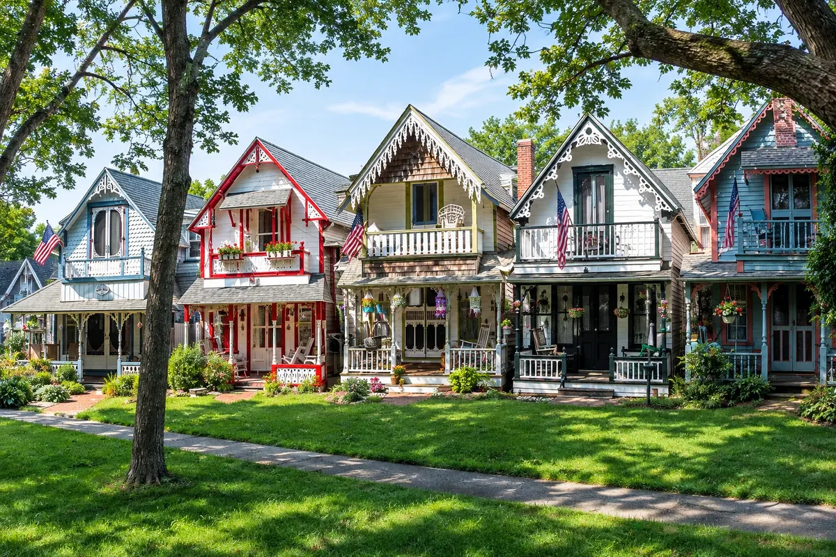
About 300 colorful wooden cottages with trim on the porches, around an 1879 iron tabernacle, in the old Methodist camp of Oak Bluffs on Martha's Vineyard.

Craigville Beach
Hyannis · Massachusetts · Beach

Craigville Beach

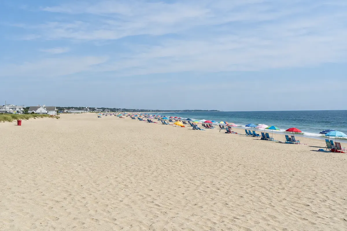
Wide sandy beach in Centerville on Cape Cod’s southern side, facing Nantucket Sound, with calm water and warmer temperatures than the Atlantic side.

Pilgrim Monument
Provincetown · Massachusetts · Monument

Pilgrim Monument

A 77‑meter granite tower from 1910 that commemorates the arrival of the Mayflower pilgrims in Provincetown in 1620. From the top, the view covers the tip of Cape Cod; beside it, a museum tells the village’s history.

Cape Cod Rail Trail
Hyannis · Massachusetts · Cycling route

Cape Cod Rail Trail

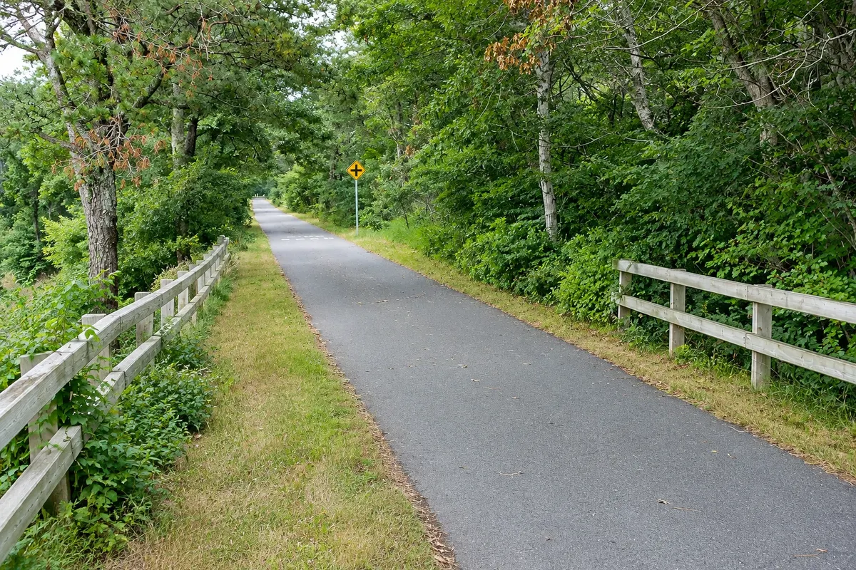
A paved bike path of about 41 km on an old railroad bed, from South Yarmouth to Wellfleet, passing ponds, woodlands, marshes and Cape Cod villages.

Commercial Street
Provincetown · Massachusetts · Historic street

Commercial Street

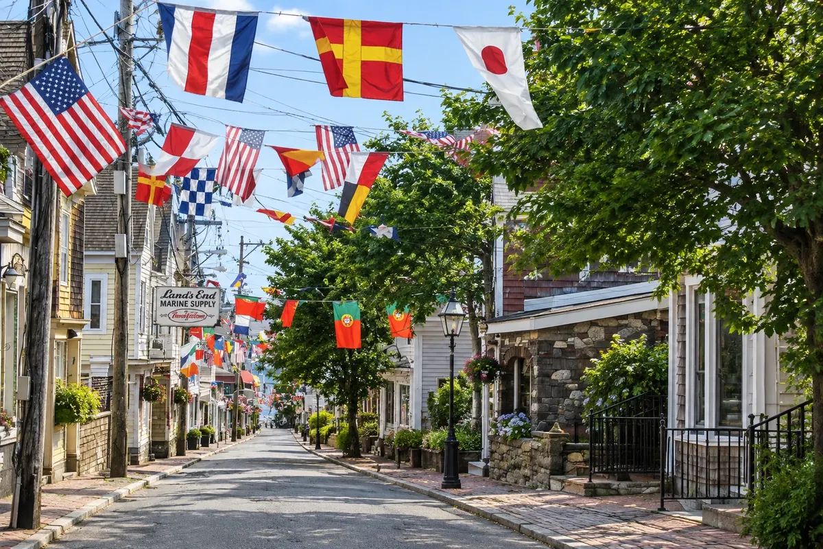
A narrow street of about 5 km along Provincetown harbor, with wooden houses, art galleries, shops, restaurants and the pier where whale-watching boats depart.

Aquinnah Cliffs
Edgartown · Massachusetts · Cliff

Aquinnah Cliffs

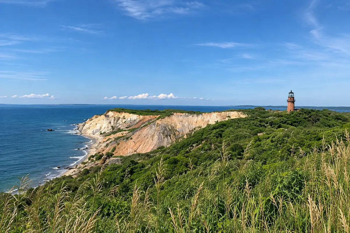
Layered clay cliffs of different colors at the western tip of Martha's Vineyard, on Wampanoag land, with the Gay Head Lighthouse atop and Moshup Beach below.

Brant Point Light
Nantucket · Massachusetts · Lighthouse

Brant Point Light

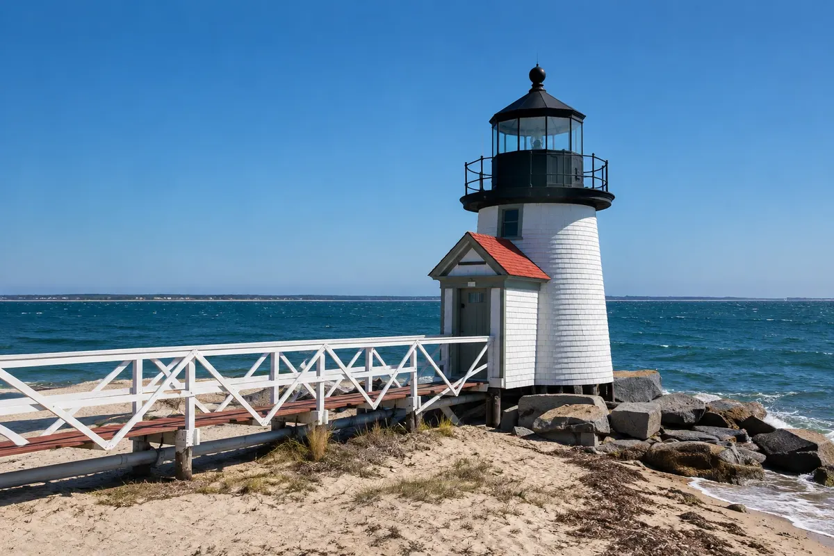
Small white wooden lighthouse at the entrance to Nantucket Harbor, from 1901, that receives the ferries. By tradition, those who throw coins into the sea when passing it will return to the island.

Siasconset
Nantucket · Massachusetts · Village

Siasconset

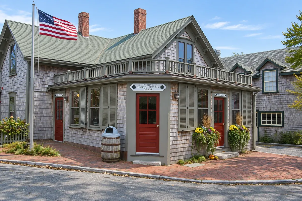
Fishing-village settlement at the eastern end of Nantucket, with wooden cottages covered in roses in early summer, the Bluff Walk path, and Sankaty Head Lighthouse on the cliff.

Before you go

Practical information

A little planning leaves more time to enjoy the journey.

When to go

From June to September, with days between 22 °C and 28 °C and the sea between 18 °C and 22 °C on the south side, colder on the Atlantic side. July and August are the busiest and most expensive months. September and early October are usually mild and quieter. In winter, many businesses close on the islands and in Provincetown.

The seasons shown are the most usual ones; nature doesn't always follow the calendar.

How many days to stay

Four days allow time for the south side, the tip with Provincetown and one day on one of the islands. With six or seven days, you can do both islands and spend more time on the National Seashore beaches.

Which city to stay in

Hyannis concentrates hotels and is close to the ferries; the villages of Chatham and Orleans are good bases between the south side and the Atlantic. In Provincetown, the center along Commercial Street keeps everything within walking distance. On Nantucket, lodging is mainly in the historic downtown. On Martha's Vineyard, Edgartown and Oak Bluffs are the villages with the most options. In summer, book well in advance.

Respect the place

Take your trash with you, follow the signs and support local businesses. In natural areas, follow the visiting guidelines.

Get your questions answered

Frequently asked questions about Cape Cod and the Islands

How many days to plan for Cape Cod and the islands?

Four days to see the south side, Provincetown and one of the islands. To visit Nantucket and Martha's Vineyard and enjoy the beaches, six to seven days.

Do you need a car on Cape Cod?

On the mainland, a car is very helpful because villages and beaches are spread out. On the islands, you can get by with local buses, bicycle and walking; taking a car on the ferry requires booking far in advance. In the United States, drive on the right.

How to get to Nantucket and Martha's Vineyard?

By ferry or by plane. For Nantucket, ferries depart from Hyannis, with fast boats of about one hour and regular ferries of just over two hours. For Martha's Vineyard, the main departure is Woods Hole, with about a 45‑minute crossing. Check schedules.

What is the best time to go to Cape Cod?

June to September for beach weather; September usually has good weather and fewer people. In July and August, the peninsula’s bridges into Cape Cod have heavy weekend traffic.

What time zone is Cape Cod in?

Massachusetts follows Eastern Time: UTC−5 in winter and UTC−4 for daylight saving time, from March to November.

What documents are required to enter the United States?

It depends on nationality and purpose of travel: some travelers enter under visa waiver with electronic authorization, others need a visa. Requirements can change: confirm before you travel.

Explore other destinations Search by state and city