

 Brazil
 Antarctica
 Argentina
 Bolivia
 Chile
 Colombia
 Ecuador
 Guyana
 French Guiana
 Falkland Islands (Malvinas)
 Paraguay
 Peru
 Suriname
 Uruguay
 Venezuela
 Germany
 Austria
 Croatia
 Denmark
 Slovakia
 Slovenia
 Spain
 Finland
 France
 Greece
 the Netherlands
 Hungary
 Ireland
 Iceland
 Italy
 Luxembourg
 Norway
 Poland
 Portugal
 the United Kingdom
 the Czech Republic
 Sweden
 Switzerland
 Turkey
 Bermuda
 Canada
 the United States
 Greenland
 Mexico
 Saint Pierre and Miquelon
 the Dominican Republic
 Japan
 South Africa
 Egypt
 Australia
 Fiji
 New Zealand
 Papua New Guinea
Route · Hainaut
Boat lifts and canal locks of La Louvière
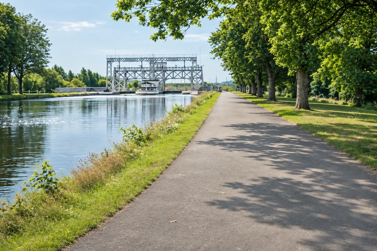
Bike loop between the historic canal and the modern canal, from Thieu to La Louvière, returning via the Sart aqueduct.
In the photo: Cycle path on the bank of the Canal du Centre, near La Louvière.
Illustrative images. The pictures in this guide are illustrations based on the real place, not photographs, and may differ from it.

The route
What the Boat lifts and canal locks of La Louvière is
The official 17.5 km loop starts beside the Strépy-Thieu boat lift and follows the modern canal to Thieu. There, Place Hardat and hydraulic lift number 4 mark the entrance to the historic canal. The route continues along the bank, passing the other hydraulic lifts, the Houdeng-Aimeries swing bridge and the former Italian workers’ canteen. The four historic lifts and their surroundings are part of the UNESCO World Heritage Site.
After La Louvière, the loop returns to the modern canal via the Blanc-Pain guard lock. The return follows the crossing of the Sart aqueduct and ends at the Strépy-Thieu lift. Passing through the town allows a detour over the Houdart bridge to the center. Le Rœulx’s Grand’Place lies outside the official loop and can be visited separately.
The map
2 cities along the way
Outlines: Natural Earth, public domain. Adapted by Cidade Turismo.
The journey
City by city
Distances and times are approximate: check before you set off.
-
 1 · Hainaut
Le Rœulx
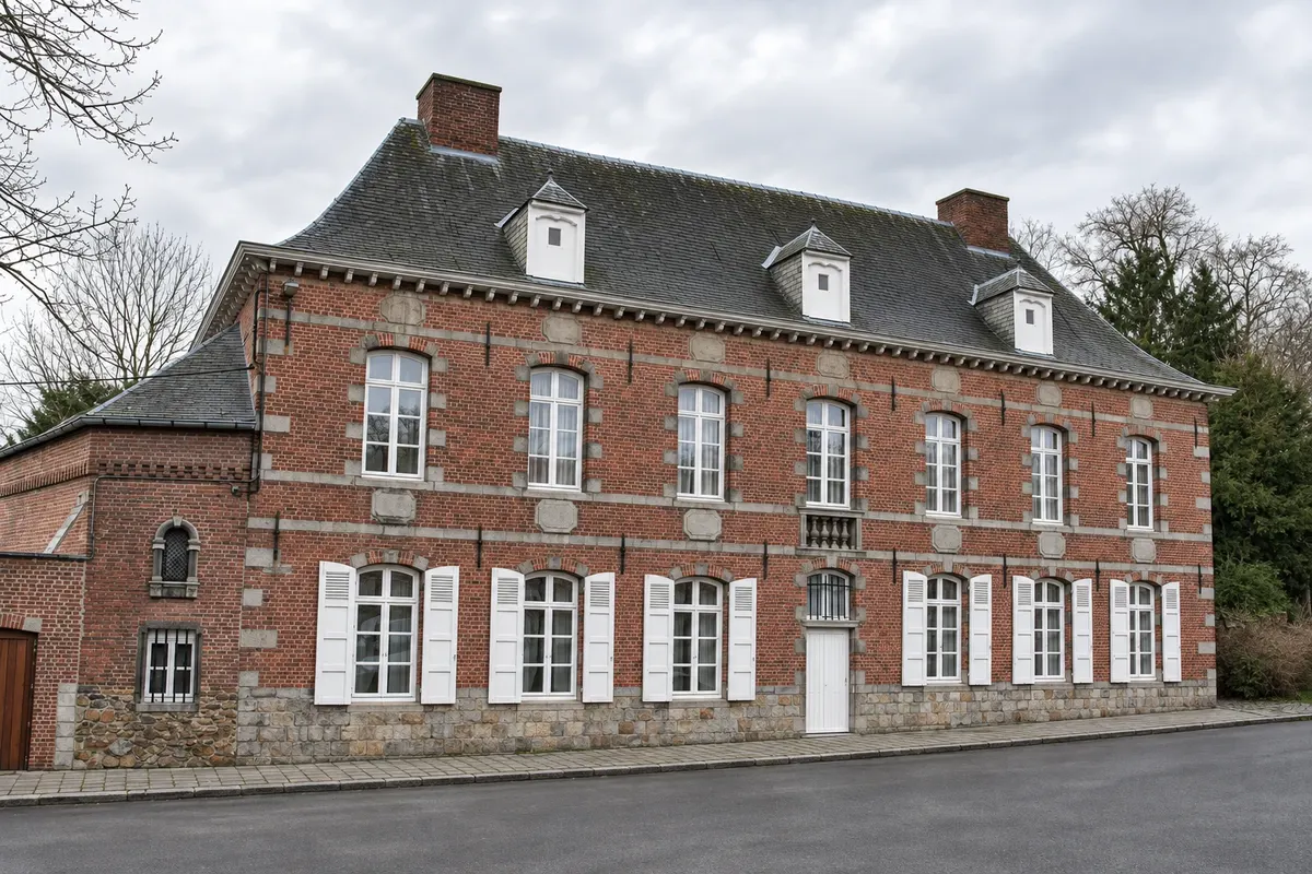
The municipality is on the loop via Thieu. Start from the modern lift on the right bank. At Place Hardat, cross the canal and climb the ramp on the left to reach hydraulic lift number 4 and the historic bank. The Grand’Place is off the route and makes a separate visit worthwhile.
→ La Louvière From the ramp of lift 4, follow the right bank of the historic canal. Pass lifts 3 and 2 in the Strépy-Bracquegnies area, and the Houdeng-Aimeries swing bridge. After passing under the old Pont Rouge railway bridge, use the Houdart bridge to exit toward the center.
-
 2 · Hainaut
La Louvière
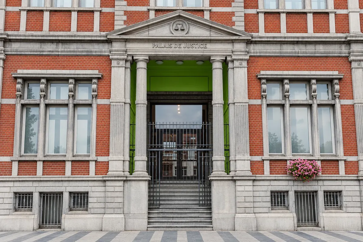
The Houdeng-Aimeries swing bridge and the former Cantine des Italiens mark the passage through the municipality. The Houdart bridge provides access to the center. To continue the loop, follow the signage along the canal and check detours before setting off.
How many days
1 day to cycle the loop with stops along the banks. Allow another day for a boat crossing or to visit Keramis and Le Rœulx’s Grand’Place.
Best time to go
From May to September, the longer days give time for breaks on the banks. To depart by boat from Thieu via the modern lift, check the occasional dates from June to September. Confirm the schedule before planning your trip.
The seasons shown are the most usual ones; nature doesn't always follow the calendar.
How to travel it
Park at Rue de la Chapelle Bertrand 68, beside the lift, or arrive by train to Thieu. Follow the RAVeL signs and check the signed detour in La Louvière. Return via the modern canal through Blanc-Pain and the Sart aqueduct. As you approach the lift, descend via the local road, take the ramp on the right and pass beneath the aqueduct to the start. Book the boat separately.
Who it's for
Beginner cyclists used to short inclines can do the loop. Asphalt and concrete predominate and the banks are almost flat. There are ramps near the lifts and one steeper descent on the return. Take a helmet, water, snacks and the route on your phone. On foot, choose a section and return along the same bank.
Length
About 18 km
Your questions
Frequently asked questions about Boat lifts and canal locks of La Louvière
How many kilometers is the canal loop?
RAVeL lists 17.5 km on the reference route. Marked detours and exits to town centers can increase the distance.
Is the loop flat?
Almost the entire cycle path follows the water level. Expect short ramps by the lifts and a stronger descent near Strépy-Thieu. After lift 1, prefer the local road parallel to the unpaved section.
Where to park to start cycling?
The RAVeL start point is at Rue de la Chapelle Bertrand 68. There is also parking in Thieu on Rue Saint-Gery.
How to book the boat crossing at Strépy-Thieu?
Check the occasional dates in June, July, August and September. The crossing that departs Thieu embarks at Quai de la Rue Port de Plaisance 21 and goes to Hal. Book a spot and confirm transfer options or bicycle transport.
Is there a regular tour of the old hydraulic lifts?
Confirm any schedule with the local tourist office. The former timetable of cruises on the historic canal is no longer reliable for planning the trip. Along the RAVeL you can observe the banks’ structures.
How to return to the Strépy-Thieu lift?
On the return, follow the modern canal after Blanc-Pain, cross the Sart aqueduct sector and follow the signs to the descent and ramp that lead to the starting point.
Beyond the guide


