Routes

Routes in Belgium

Well-known journeys linking cities and destinations, with the map, the legs and what to know before you go.

Illustrative images. The pictures in this guide are illustrations based on the real place, not photographs, and may differ from it.

Get it on Google Play

What is a route

A route is a named tourist journey, recognised by the region or by those who travel it. It links cities and destinations in a set order, and the journey itself is part of the trip. Each route has the map, the legs between the cities, how many days to set aside, the best time to go and what to know before you go.

The guide currently has 5 routes, passing through 26 cities in 8 provinces.

See the route map ↓

The map

The routes in Belgium

Use two fingers to zoom in on the map.

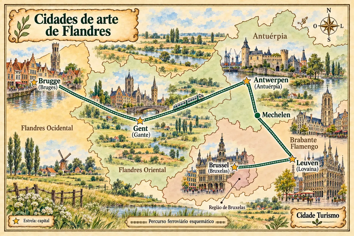
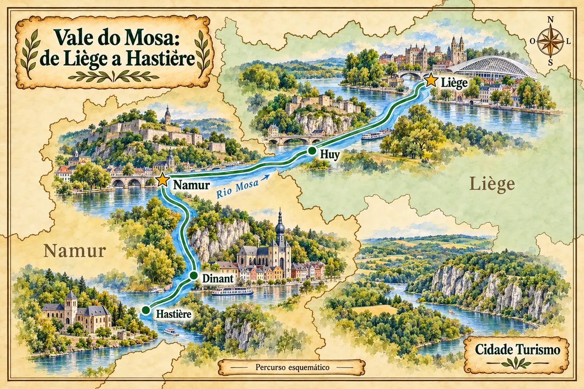
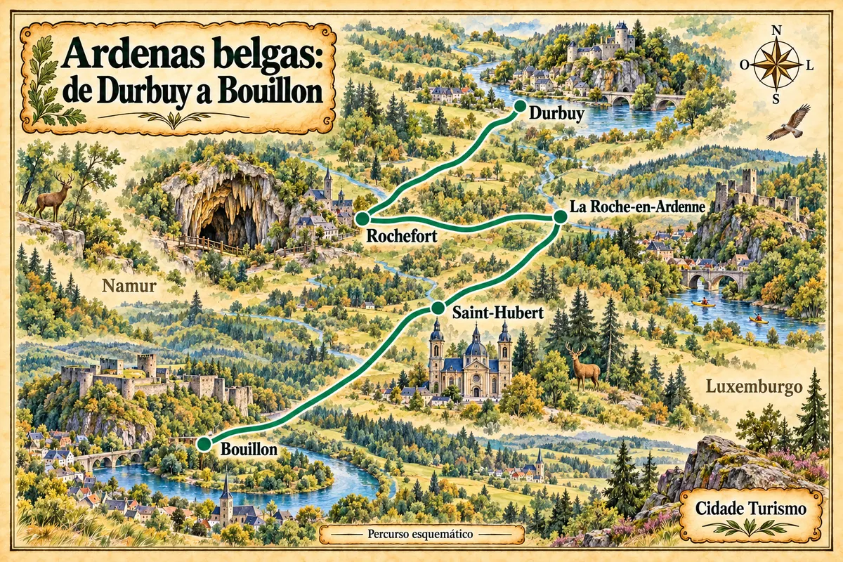
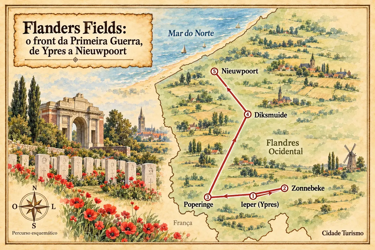
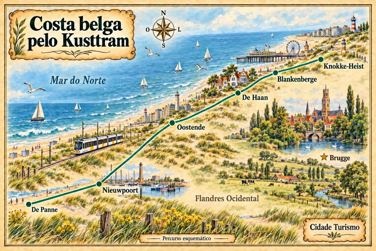
Art cities of Flandres Art cities of Flandres Mosa Valley: from Liège to Hastière Mosa Valley: from Liège to Hastière Belgian Ardennes: from Durbuy to Bouillon Belgian Ardennes: from Durbuy to Bouillon Flanders Fields: the First World War front, from Ypres to Nieuwpoort Flanders Fields: the First World War front, from Ypres to Nieuwpoort Belgian coast on the Kusttram Belgian coast on the Kusttram
Tap a route to open its page.

Contornos: © NGI-IGN, AdminVector, CC BY 4.0. Adaptação do Cidade Turismo.

Back