

 Brazil
 Argentina
 Chile
Chile Colombia
 Peru
Peru Uruguay
 Germany
 Spain
Spain France
 Greece
 the Netherlands
 Ireland
 Italy
Italy Portugal
 the United Kingdom
 Switzerland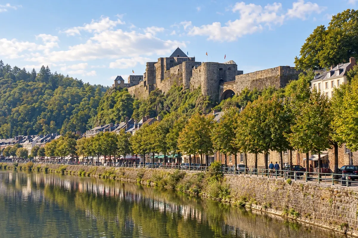
Route · Luxemburgo · Namur
Belgian Ardennes: from Durbuy to Bouillon
Five stops through the Belgian Ardennes, from the Ourthe valley to the Semois: Durbuy, the Han caves in Rochefort, La Roche-en-Ardenne, Saint-Hubert and Bouillon Castle, linked by forest roads.
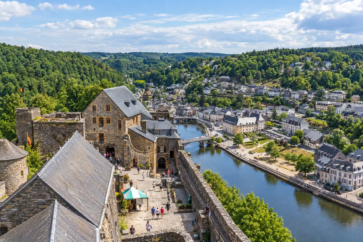
In the photo: Château de Bouillon above the Semois
Illustrative images. The pictures in this guide are illustrations based on the real place, not photographs, and may differ from it.

The route
What the Belgian Ardennes: from Durbuy to Bouillon is
The Ardennes occupy the south of Belgium, in Valônia, where French is spoken. They are forested hills cut by rivers that run in narrow valleys between slopes: the Ourthe, the Lesse and the Semois. The towns are small and each grew up around a castle, an abbey or a river crossing.
The route starts in Durbuy, on the banks of the Ourthe, which received city rights in 1331 and today has a few stone streets. It continues to Rochefort, in the province of Namur, where the Lesse disappears under a hill and forms the caves of Han-sur-Lesse. It then returns to the Ourthe at La Roche-en-Ardenne, beneath the ruins of an 11th-century castle.
The final section climbs to the plateau. Saint-Hubert preserves the basilica of the former abbey linked to the patron saint of hunters, in the middle of an extensive forest. Bouillon closes the route on a meander of the Semois, at the foot of the castle associated with Godofredo de Bouillon, less than five kilometres from France.
For Brazilians, the difference compared with the north of the country is transport. In Flandres almost everything is done by train; in the Ardennes the lines run far from the centres, and buses make the connection with few departures. That is why this itinerary is designed for the car.
The map
5 cities along the way
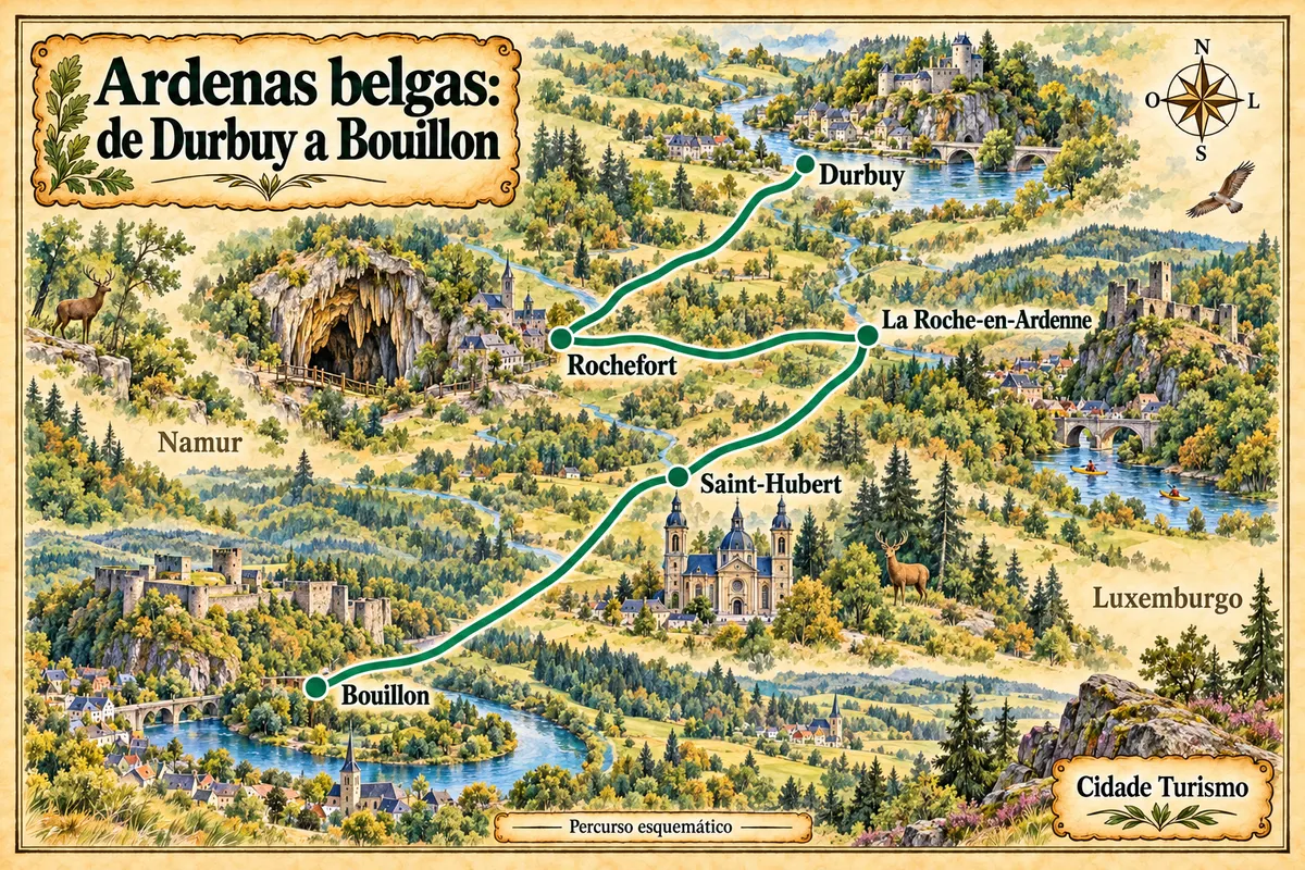
Contornos: © NGI-IGN, AdminVector, CC BY 4.0. Adaptação do Cidade Turismo.
The journey
City by city
Distances and times are approximate: check before you set off.
-
 1 · Luxemburgo
Durbuy
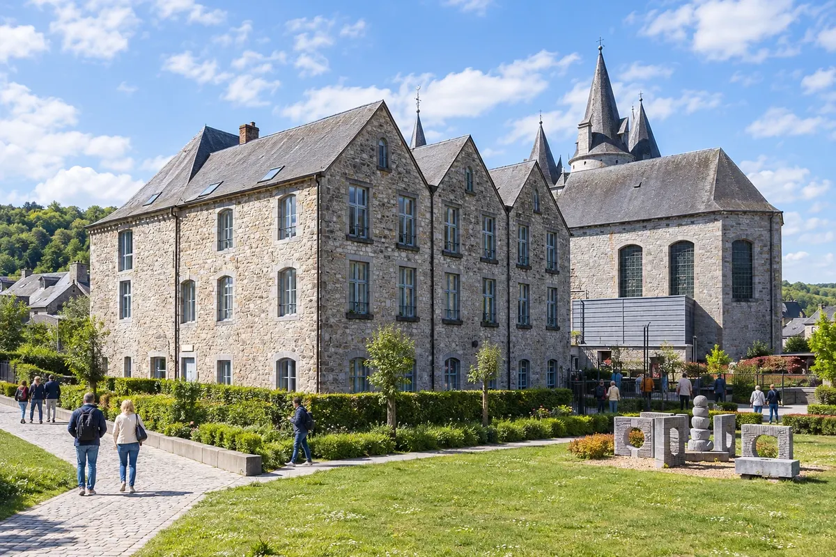
Starting point, on a bend of the Ourthe. Durbuy received city rights in 1331 from João da Boêmia, count of Luxemburgo, and presents itself as the smallest city in the world. The castle of the counts of Ursel, rebuilt in 1731, stands on a rock surrounded by the river. Beside it, the topiary park displays shrubs clipped into shapes of animals and figures.
→ Rochefort By car. From Durbuy, take the N86 and follow it via Hotton, where it crosses the Ourthe, via Marche-en-Famenne and Jemelle to Rochefort; Han-sur-Lesse is just ahead on the same road. The enclosed Ourthe valley gives way to the open fields of the Famenne.
-
 2 · Namur
Rochefort
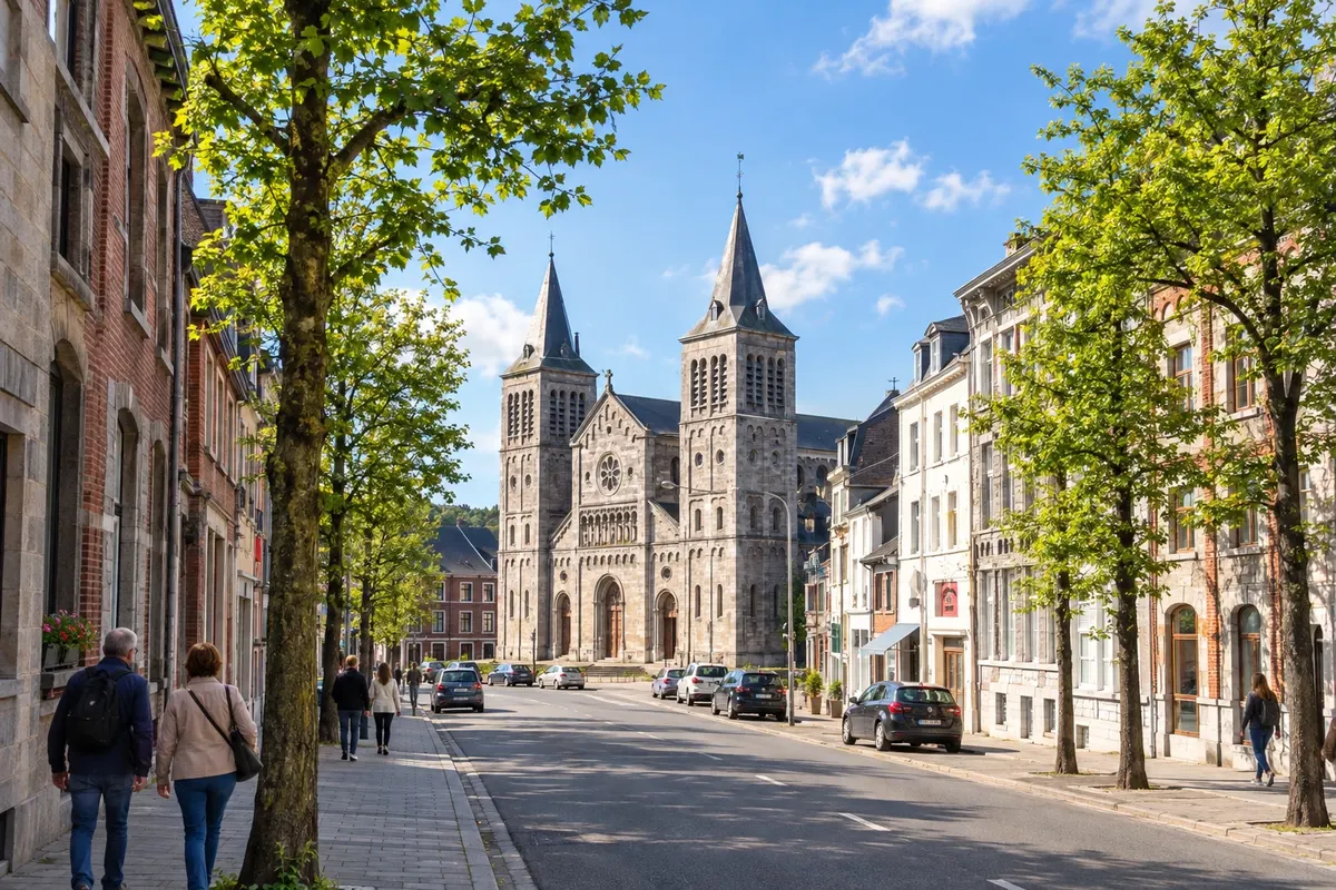
The only stop in the province of Namur. In Han-sur-Lesse, a locality of Rochefort, the Lesse enters the hill through the Gouffre de Belvaux and runs underground before reappearing. An old tram takes visitors to the cave entrance. In Rochefort centre are the ruins of the counts' castle and, a few minutes away, the Gallo-Roman villa of Malagne.
→ La Roche-en-Ardenne By car. Return on the N86 to Marche-en-Famenne and take the N888, signposted for La Roche-en-Ardenne. The road passes through woods and descends at the end into the Ourthe valley, from where you can see the castle above the town.
-
 3 · Luxemburgo
La Roche-en-Ardenne
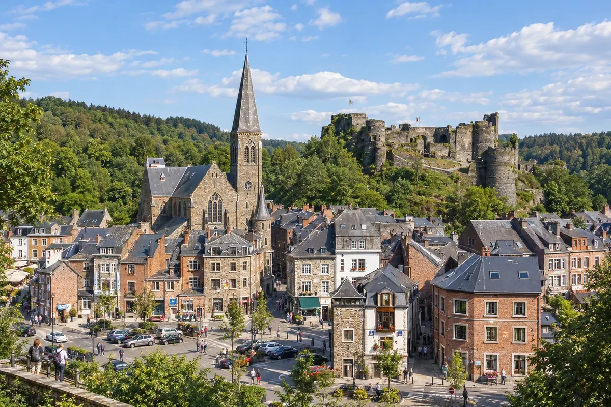
The town sits on a meander of the Ourthe, dominated by the ruins of the 11th-century feudal castle, dismantled by order of José II in the 18th century. It was hit in December 1944 during the Battle of the Ardennes, and a museum tells that story across three floors. Around it, viewpoints and trails follow the curves of the river.
→ Saint-Hubert By car. Leave La Roche via the N89, which climbs to the plateau via Champlon. Near Bras, the N89A spur leads to Saint-Hubert. It is the highest section of the route, almost entirely wooded on both sides of the road.
-
 4 · Luxemburgo
Saint-Hubert
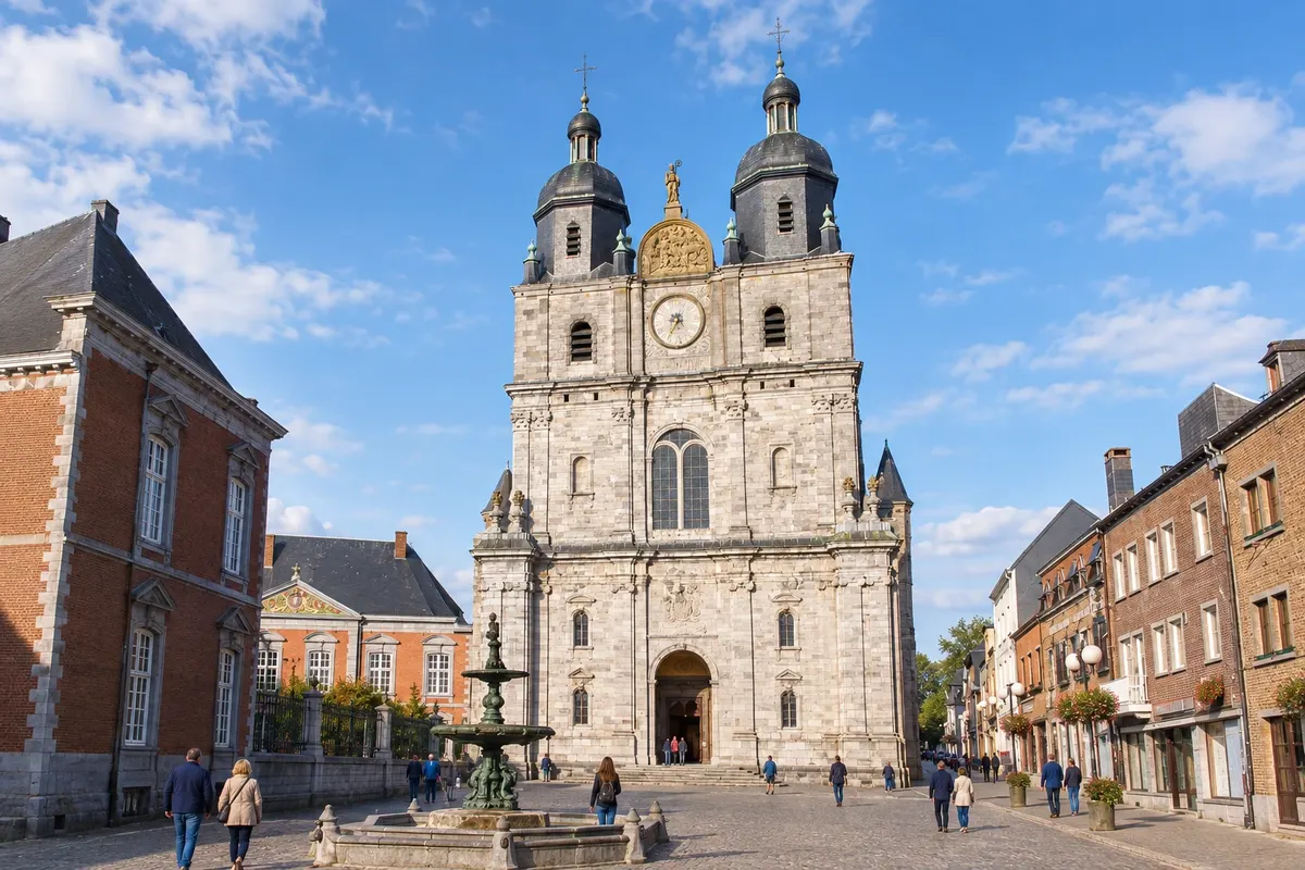
Stop on the plateau, at almost 500 metres altitude, surrounded by the Saint-Hubert forest. The Basilica of Saints Peter and Paul is the former church of the Benedictine abbey that received the body of são Humberto, patron saint of hunters, in the 9th century. The Gothic nave was built between 1526 and 1564, behind a classical façade from the early 18th century.
→ Bouillon By car. From Saint-Hubert, rejoin the N89 towards Libramont and Bertrix. After Bertrix, the road leaves the plateau and descends into the Semois valley down to Bouillon.
-
 5 · Luxemburgo
Bouillon
End of the route, on a wide meander of the Semois, a tributary of the Mosa. The fortified castle occupies the rock above the town and is linked to Godofredo de Bouillon, who sold it to the prince-bishopric of Liège to finance the First Crusade. The border with France lies less than five kilometres to the west and south.
How many days
3 to 4 days, with overnight stays in two towns. Rochefort needs almost a whole day just for the cave and the Han wildlife park. Durbuy and Saint-Hubert fit into half a day each; La Roche and Bouillon are more rewarding with a walk through the valley.
Best time to go
From May to September the days are long and attractions operate with a broader schedule; July and August concentrate Belgian holidays and activity in the towns. In September and October the forest leaves usually change colour. From November to February the days are short, it rains frequently, and snow often appears some days in the higher areas.
The seasons shown are the most usual ones; nature doesn't always follow the calendar.
How to travel it
By car, via national roads N86, N888 and N89, which cross forests and valleys. Bruxelas is a little over one hundred kilometres from Rochefort. By train, only Rochefort has a practical connection: Rochefort-Jemelle station on the Bruxelas–Luxemburgo line, with a bus to Han. For Durbuy, La Roche, Saint-Hubert and Bouillon you need to combine train and bus.
Who it's for
For those travelling by car who like castles, caves, small towns and forest trails. Good for families, because of the wildlife park and the tram that takes visitors to the Han cave. Less suitable for those who want to travel only by train.
Your questions
Frequently asked questions about the Belgian Ardennes: from Durbuy to Bouillon
Do you need a car to do the Ardennes route?
In practice, yes. Train lines run far from the centres: Durbuy depends on Barvaux station on the Liège–Marloie line, and La Roche has no station, only buses from Melreux and Marloie. Bouillon and Saint-Hubert also rely on buses. Departures are few, and a car allows you to make several stops in the same day.
Can part of the route be done by train?
Rochefort is the easiest stop without a car. Rochefort-Jemelle station is on the Bruxelas–Namur–Luxemburgo line, served by InterCity trains, and TEC bus 29 links the station to the centre of Han-sur-Lesse. To continue to the other towns you need to combine train and bus, with waiting times. Check timetables before you go.
How many days are needed?
Three days are enough to see the five towns without rushing. With four days, there's time for a walk in the Ourthe valley in La Roche or in the Semois in Bouillon. If you only have a weekend you can choose Rochefort and Durbuy, which are closer to Bruxelas.
Can you leave Bruxelas?
Yes. Rochefort is about 105 kilometers south of Bruxelas, and Durbuy is in the same direction, slightly further east. Bouillon, at the southern extreme, is the farthest stop from the capital. One option is to travel from north to south and return to Bruxelas via the highway.
What is winter like in the Ardenas?
From November to February the days are short and the weather is wet; Saint-Hubert records rain on more than 150 days a year. At higher elevations, snow usually falls on some days from December to February, irregularly. Some attractions reduce their schedules during that period. On days with snow or ice, drive slowly on forest roads.
Can you do the route by bicycle?
For the most part, yes. The cycle route W7, of the RAVeL network of Valônia, passes through Durbuy and La Roche-en-Ardenne and ends in Bouillon, via Libramont and Paliseul. The section from Durbuy to La Roche is 33 kilometers. Rochefort and Saint-Hubert lie outside that route. The terrain is hilly, with long climbs.