1 city

 Turkey
 Brazil
 Argentina
 Bolivia
 Chile
 Colombia
 Ecuador
 Guyana
 French Guiana
 Falkland Islands (Malvinas)
 Paraguay
 Peru
 Suriname
 Uruguay
 Venezuela
 Germany
 Austria
 Belgium
 Croatia
 Denmark
 Spain
 Finland
 France
 Greece
 the Netherlands
 Hungary
 Ireland
 Iceland
 Italy
 Luxembourg
 Norway
 Poland
 Portugal
 the United Kingdom
 the Czech Republic
 Sweden
 SwitzerlandTurkey
 the Dominican Republic
 Fiji
Province · Mar Negro Oriental
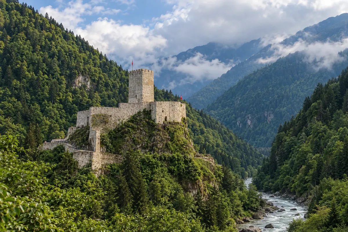
The Black Sea tea slopes, the Fırtına River valley with Zilkale castle, the Ayder plateau and the Kaçkar Mountains.
In the photo: Zilkale Castle in the Fırtına valley, Rize
Illustrative images. The pictures in this guide are illustrations based on the real place, not photographs, and may differ from it.

The province
Rize is the tea province: plantations cover the slopes rising from the sea, and most of the tea drunk in Turkey comes from there and the surrounding area. The capital, also called Rize, sits on the coast with a castle on the hill and the headquarters of Çaykur, the state tea company.
Inland, the road climbs the Fırtına River valley, with arched stone bridges, forests and wooden houses. On a rock above the river stands Zilkale, a 14th–15th century castle with eight towers and a watchtower. The Fırtına is also used for rafting.
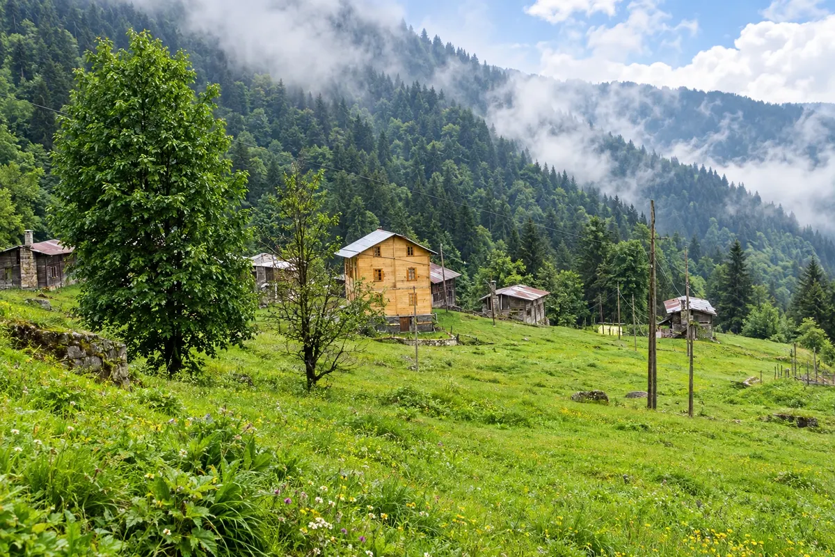
In Çamlıhemşin, Ayder is the base for the Kaçkar Mountains, a national park with villages and dozens of summer settlements (yayla), and has hot springs. Pokut and Huser, higher up, are known for the sea of clouds that often forms below them on some mornings and afternoons.
In the southwest, the İkizdere valley leads to the Anzer plateau, known for its honey. The cuisine mixes corn and fish: cornbread, muhlama — melted cheese in butter with cornmeal — anchovy (hamsi) in winter and laz böreği, a pastry dessert filled with cream. Tea accompanies everything, served in a small glass.
Destinations
May to September is usually the best time. Tea is harvested from May to October, and the Ayder, Pokut and Huser plateaus are generally accessible from June to September. It rains in all seasons, and fog is common in the mountains. In winter, snow closes some high-altitude roads.
Rize-Artvin Airport (RZV), built on reclaimed land in the sea at Pazar, is 34 km east of the city of Rize and is the closest to Ayder and the Fırtına valley. Trabzon Airport (TZX) is another option, following the coastal road. For the valleys and plateaus, a car or combined transport makes access easier.
Your questions
Rize-Artvin Airport (RZV), in Pazar, is the closest. From there you follow the road to Çamlıhemşin and drive up to Ayder. Check road conditions for the time of your trip.
The harvest usually runs from May to October, in several stages. During that period the slopes fill with workers and the freshly picked tea is taken to the region's factories.
Zilkale is in the Fırtına valley, about 15 km south of Çamlıhemşin, on a rock above the river. It can be reached by car or on an organized tour, via the road that follows the valley.
They are high plateaus above Ayder where, on some mornings and evenings, clouds lie below the wooden houses and cover the valleys. It depends on the weather, and the access road is a mountain road.
For the city of Rize, no. For the Fırtına valley, Ayder and the plateaus, a car or combined transport gives more freedom, because the roads are mountain roads and the settlements are far apart.