

 Brazil
 Argentina
 Bolivia
 Chile
 Colombia
 Ecuador
 Guyana
 French Guiana
 Falkland Islands (Malvinas)
 Paraguay
 Peru
 Suriname
 Uruguay
 Venezuela
 Germany
 Austria
 Belgium
 Croatia
 Denmark
 Spain
 Finland
 France
 Greece
 the Netherlands
 Hungary
 Ireland
 Iceland
 Italy
 Luxembourg
 Norway
 Poland
 Portugal
 the United Kingdom
 the Czech Republic
 Sweden
 Switzerland
 the Dominican Republic
 Fiji
Province · Mar Negro Oriental
Artvin
Valleys of the Çoruh River, Borçka's Karagöl Lake, the Macahel valley, a UNESCO biosphere reserve, and medieval Georgian churches in the mountains.
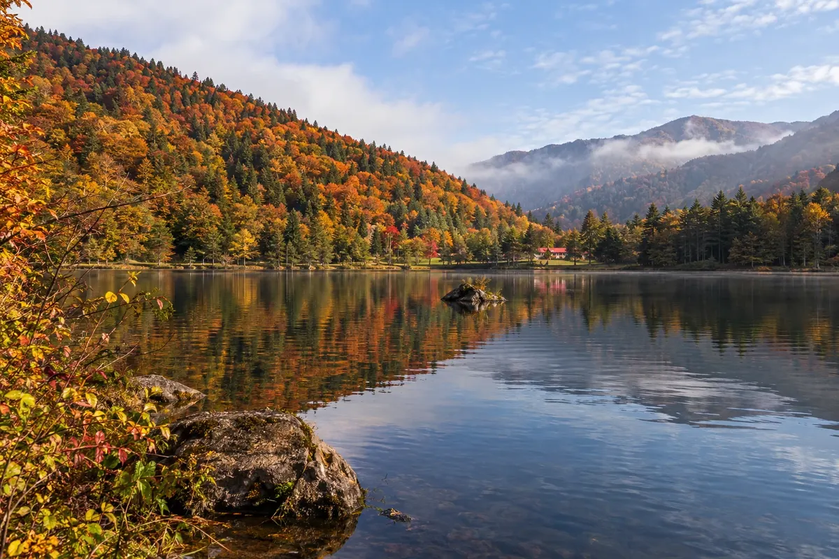
In the photo: Borçka Karagöl Lake, Artvin
Illustrative images. The pictures in this guide are illustrations based on the real place, not photographs, and may differ from it.

The province
Get to know Artvin
Artvin occupies the northeast corner of Turkey, on the border with Georgia, between the Black Sea and the Kaçkar Mountains. The capital, also called Artvin, sits on a steep hillside above the Çoruh River valley, and most of the province is mountain and forest.
In the Middle Ages the region was part of Tao-Klarjeti, Georgian territory. From that period remain churches and settlements, such as İşhan and Barhal, in the Yusufeli mountains.
In the Borçka district, Karagöl Lake lies at 1,550 meters altitude, surrounded by pines, 27 km from Borçka and about 60 km from the capital; it has been a natural park since 2002. The trees around it often turn yellow and red in autumn. In Şavşat there is another Karagöl, within a different protected area.
On the same road is the Macahel (Camili) valley, declared a UNESCO biosphere reserve in 2005. The villages have wooden houses and mosques, such as the İremit mosque in Maral, dating to 1851 and painted with colorful motifs, and the valley is known for the Caucasian bee and its honey.
On the coast, Hopa lies near the Sarp border crossing to Georgia.
When to go
June to September is usually the period when mountain roads are open and trips to Macahel and the plateaus are possible. October often brings autumn colors at Karagöl. In winter, snow can close the higher roads. On the coast, it rains in all seasons.
Getting there
Rize–Artvin Airport (RZV), built on reclaimed land at sea in Pazar, is about 75 km from Artvin city. For those combining the trip with Georgia, Batumi Airport lies on the other side of the Sarp border. Within the province, a car is the most practical way to reach Karagöl and Macahel.
Your questions
Frequently asked questions about Artvin
Which airport to use for Artvin?
Rize–Artvin Airport (RZV), in Pazar, is about 75 km from Artvin city and has flights to Istanbul and other Turkish cities. Routes change with the season: check before booking your ticket.
How to get to Borçka's Karagöl Lake?
The lake is about 27 km from Borçka and 60 km from the provincial capital, via mountain road. A car is the most practical way. It is a natural park with picnic and camping areas.
What is the Macahel valley?
It is the Camili valley, next to the border with Georgia, declared a UNESCO biosphere reserve in 2005. It has ancient forests, villages with wooden houses and mosques, and honey production. The road is winding; summer is the recommended season.
Can you go from Artvin to Georgia?
Yes, via the Sarp border crossing near Hopa on the coast. Check Georgia's entry requirements for Brazilian citizens. Requirements can change: confirm before you travel.
When to see autumn colors in Artvin?
At Borçka's Karagöl and in the province's forests, the leaves usually change color in October, depending on the year and altitude.