1 city

 Mexico
 Brazil
 Argentina
 Bolivia
 Chile
 Colombia
 Ecuador
 Guyana
 French Guiana
 Falkland Islands (Malvinas)
 Paraguay
 Peru
 Suriname
 Uruguay
 Venezuela
 Germany
 Austria
 Belgium
 Croatia
 Denmark
 Spain
 Finland
 France
 Greece
 the Netherlands
 Hungary
 Ireland
 Iceland
 Italy
 Luxembourg
 Norway
 Poland
 Portugal
 the United Kingdom
 the Czech Republic
 Sweden
 Switzerland
 TurkeyMexico
 the Dominican Republic
 South Africa
 Fiji
State · Yucatán e Campeche (península maia)
The Maya peninsula: Chichén Itzá, Uxmal and the Puuc Route, Mérida, Valladolid, Izamal, the flamingos of Celestún and hundreds of cenotes.
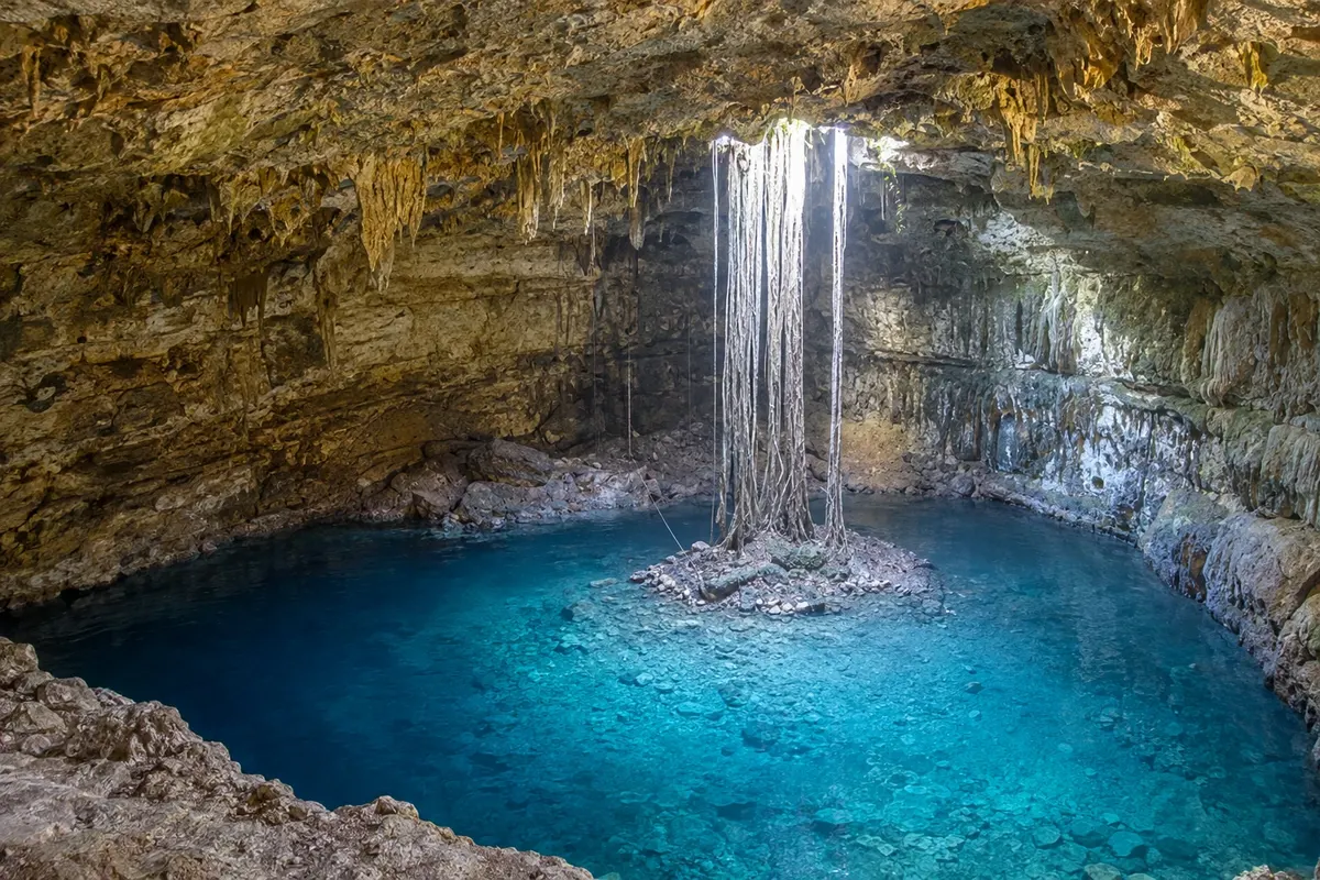
In the photo: Cenote Xkekén, Dzitnup
Illustrative images. The pictures in this guide are illustrations based on the real place, not photographs, and may differ from it.

The state
The state of Yucatán occupies the northern part of the peninsula of the same name, a limestone plain covered by low jungle, with no surface rivers. Water runs underground and appears in cenotes, which the Maya considered sacred. It is the land of the great Maya cities and of a culture that remains alive in language, cuisine and embroidered clothing.
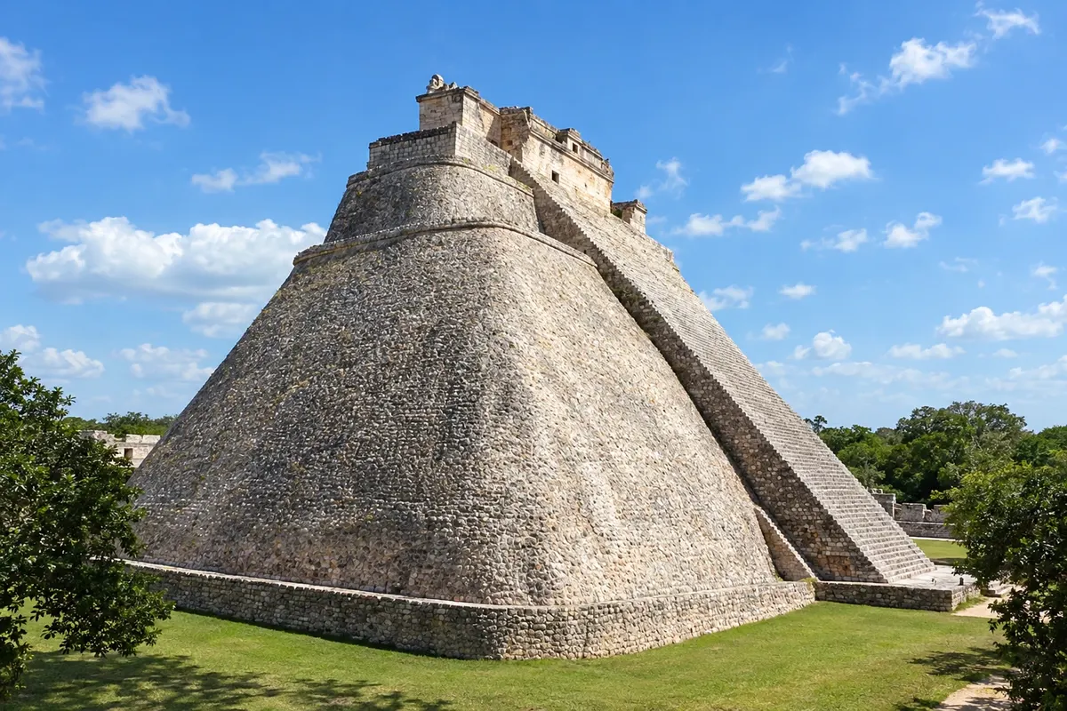
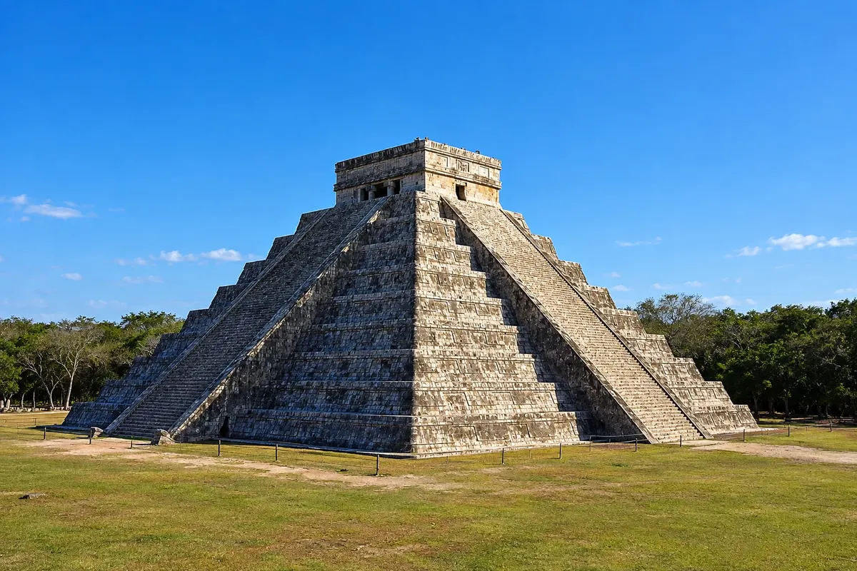
Chichén Itzá, near Valladolid, is the most visited archaeological site in the country, with the pyramid of Kukulcán (El Castillo), the ballcourt and the sacred cenote; it is a World Heritage Site. At the equinoxes in March and September, the shadow on the staircase often forms the shape of a serpent. To the south, Uxmal and the towns on the Puuc Route, such as Kabah and Labná, display facades covered in worked stone.
Mérida, the capital, has the cathedral on the Plaza Grande, the Paseo de Montejo with mansions from the sisal era and a busy cultural calendar. Valladolid is the colonial town near Chichén Itzá, with the Suytun and Ik Kil cenotes nearby. Izamal is the yellow town, with the convent of San Antonio de Padua atop an ancient pyramid. On the coast, Celestún often hosts flamingos in the estuary, and Progreso is the beach for Mérida’s residents.
Yucatecan cuisine is among the best known in Mexico: cochinita pibil, lime soup, panuchos, salbutes and relleno negro, seasoned with achiote and bitter orange.
Destinations
Cities
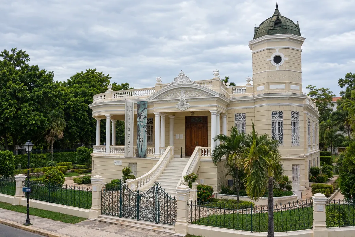
Mérida is the capital of Yucatán and the largest city on the peninsula, founded in 1542 on top of the Maya city of T'hó. The historic center has the Plaza Grande, the Cathedral of San Ildefonso, the Casa de Montejo and neighborhoods of colorful colonial houses. To the north lies Paseo de Montejo, with mansions from the sisal era, and further on the Gran Museo del Mundo Maya. It is the base for Uxmal, Izamal, Celestún and Progreso.
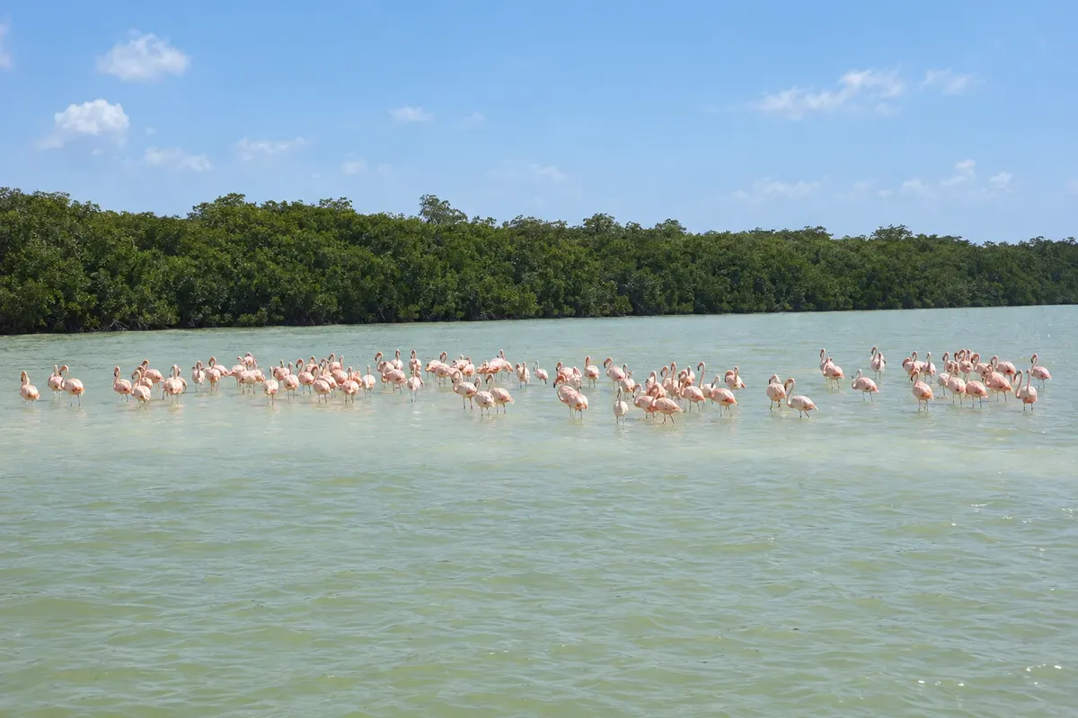
Celestún is a fishing village on the far western coast of Yucatán, about 95 km from Mérida, between the Gulf of Mexico and a long mangrove estuary. The estuary is part of the Ría Celestún Biosphere Reserve, known for its colonies of pink flamingos, seen on boat trips. The village has a calm-water beach and seafood restaurants.
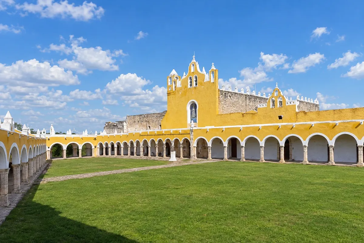
Izamal is a small town in Yucatán, about 70 km east of Mérida, known as the yellow city because almost all the façades in the center are painted that color. The 16th-century Franciscan convent of San Antonio de Padua was built atop a Maya pyramid and has one of the largest courtyards on the continent. The town still preserves other pyramids, such as Kinich Kak Mo, amid the houses.
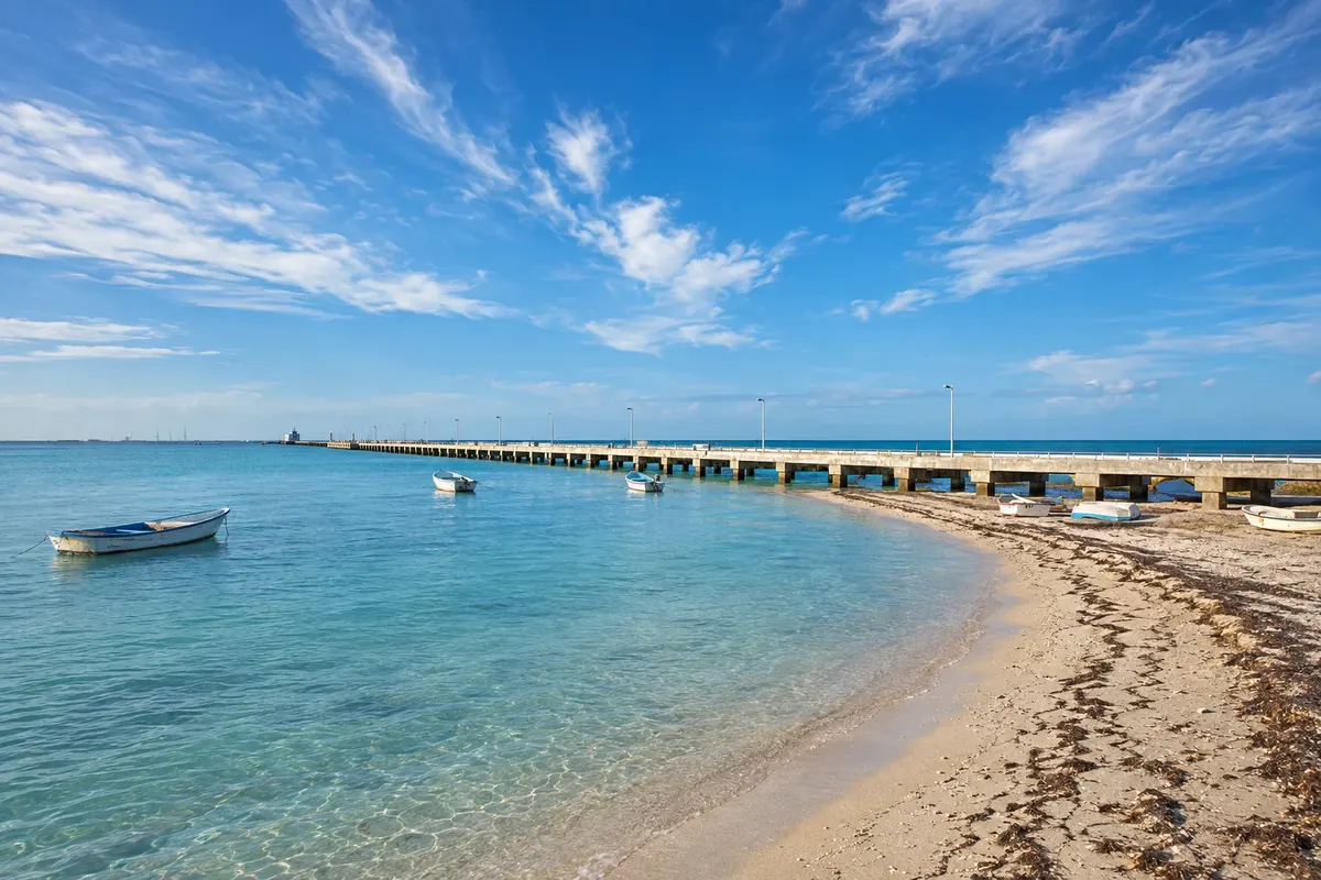
Progreso is the main port of Yucatán and the closest beach to Mérida, about 35 km to the north, on the Gulf of Mexico. It has a long seafront promenade with restaurants, and one of the longest piers in the world, where cruise ships dock. The water is shallow and calm, with a green color. To the east, the coast continues with beach villages and the Maya site of Xcambó.
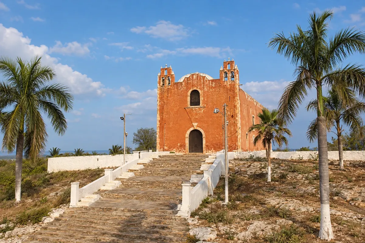
Santa Elena is a village in the Puuc region, south of Mérida, between the ruins of Uxmal, about 15 km away, and Kabah, about 10 km away. It has an 18th-century church on top of a hill with views over the plain, and a few simple inns and restaurants. It is the closest base for the Puuc Route, which continues to Sayil, Xlapak and Labná.
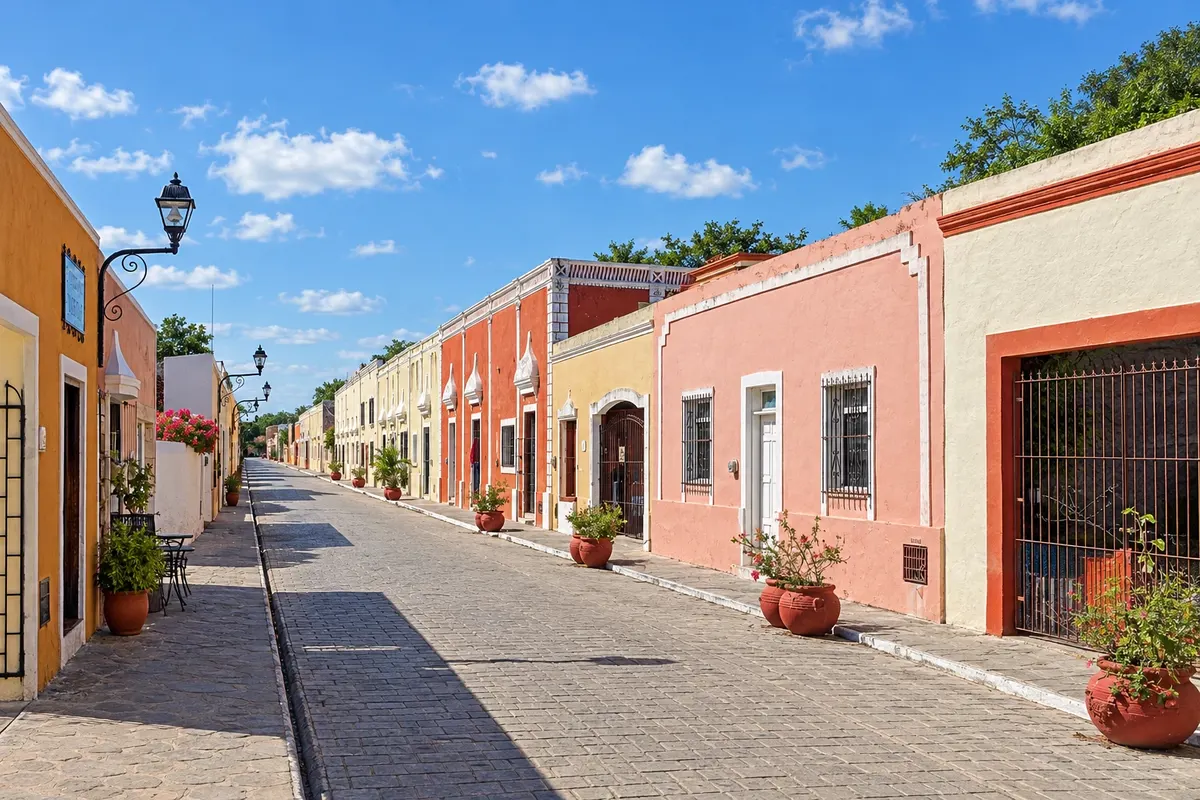
Valladolid is a colonial town in eastern Yucatán, about 40 km from Chichén Itzá, founded by the Spaniards in 1543. It has low houses painted in bright colors, the main square with the church of San Servacio and the Calzada de los Frades, which leads to the convent of San Bernardino de Siena. Within the town is the cenote Zací, and nearby are Suytun, Xkekén and Samulá. It is the most used base for Chichén Itzá and Ek Balam.
From November to March days are usually sunny and less hot, good for visiting ruins. April to May is the hottest period. From June to October rain falls in showers and it is hurricane season. The flamingos of Celestún are usually more numerous from November to March. Yucatán is 3 hours behind Brasília.
Mérida airport (MID) receives flights from Mexico City and other cities. Many Brazilians arrive via Cancún, about 160 km from Valladolid and 300 km from Mérida, by bus, car or Tren Maya. From Mérida buses depart for Uxmal, Celestún, Izamal and Progreso, and the state’s roads are flat and straight.
Your questions
Valladolid, about 45 km away, or Pisté, the village at the entrance to the site. Arriving early at opening time avoids the heat and the groups that come from Cancún.
Four to six days allow for Mérida, Uxmal and the Puuc Route, Chichén Itzá and Valladolid, with cenotes and an afternoon in Izamal or Celestún.
No. Climbing El Castillo is not permitted, and the visit is done from the plaza and the site paths.
Many cenotes are open for swimming, such as Ik Kil and Suytun, with an entrance fee. It is common to be asked to shower before entering and to wear a life jacket in some.