

 Brazil
 Argentina
 Bolivia
 Chile
 Colombia
 Ecuador
 Guyana
 French Guiana
 Falkland Islands (Malvinas)
 Paraguay
 Peru
 Suriname
 Uruguay
 Venezuela
 Germany
 Austria
 Belgium
 Croatia
 Denmark
 Spain
 Finland
 France
 Greece
 the Netherlands
 Hungary
 Ireland
 Iceland
 Italy
 Luxembourg
 Norway
 Poland
 Portugal
 the United Kingdom
 the Czech Republic
 Sweden
 Switzerland
 Turkey
 the Dominican Republic
 South Africa
 Fiji
State · Baixa Califórnia (Los Cabos e La Paz)
Baixa Califórnia do Sul
Baja California Sur, between the Pacific and the Sea of Cortez: Los Cabos and El Arco, La Paz and Espíritu Santo Island, Todos Santos, Loreto and the winter whales.
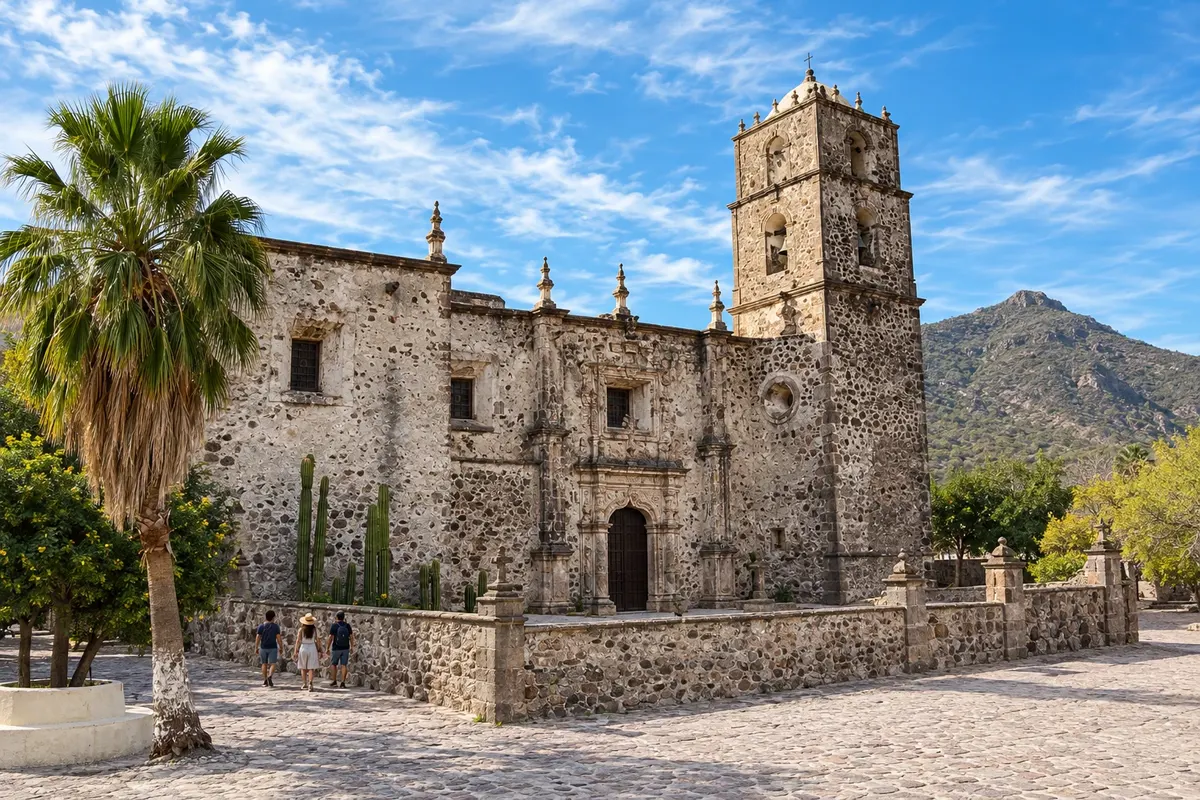
In the photo: Mission of San Francisco Javier
Illustrative images. The pictures in this guide are illustrations based on the real place, not photographs, and may differ from it.

The state
Get to know Baixa Califórnia do Sul
Baja California Sur occupies the southern half of the peninsula, a narrow strip of desert and mountains between the Pacific Ocean and the Sea of Cortez, also called the Gulf of California. The landscape of giant cacti meets clear-sand beaches and a sea rich in life, with protected islands that are World Heritage sites.
At the southern tip are Los Cabos: San José del Cabo, with a historic gallery-lined center, and Cabo San Lucas, with the marina and El Arco, the rock formation where the Sea of Cortez meets the Pacific, beside Playa del Amor. Between the two towns, the Corridor brings together resorts and golf courses. Todos Santos, on the Pacific coast, is an artists’ and surfing town.
La Paz, the capital, has a seafront malecón along the bay and is the base for Espíritu Santo Island, with clear-sand beaches and a sea lion colony at Los Islotes. In the bay, the whale shark commonly appears from October to April. Farther north, Loreto, the first mission of the Californias, sits opposite the Bay of Loreto Marine Park.
In winter, humpback whales usually pass Los Cabos from December to April, and gray whales typically enter Pacific lagoons such as San Ignacio and Magdalena Bay from January to March. On the table, fish tacos, chocolate clam and seafood.
When to go
From November to May the days are usually sunny and the heat is moderate; it is whale season from December to April. From July to October it is very hot, and September tends to concentrate the hurricane risk. The state is 4 hours behind Brasília.
Getting there
Los Cabos International Airport (SJD) is near San José del Cabo and receives flights from Mexico City, the United States and Canada. Connections with Brazil may be direct or with a stopover, depending on the season and the airline. Confirm before booking. La Paz (LAP) and Loreto (LTO) have their own airports. Between Los Cabos and La Paz it’s about 2½ hours by road, passing through Todos Santos; there are buses between the towns.
Your questions
Frequently asked questions about Baixa Califórnia do Sul
What is the difference between San José del Cabo and Cabo San Lucas?
San José del Cabo is quieter, with a historic center and the airport. Cabo San Lucas is busier, with the marina, boats to El Arco and the nightlife. They are about 30 km apart.
When to see whales in Los Cabos?
Humpback whales usually pass from December to April, and there are boat tours departing from Cabo San Lucas and San José del Cabo.
How to visit Espíritu Santo Island?
On boat tours that depart from La Paz, with stops at beaches and the sea lion site at Los Islotes.
When to swim with the whale shark in La Paz?
The whale shark usually appears in La Paz Bay from October to April. Tours follow rules about zones and the number of people.