

 Brazil
 Argentina
 Bolivia
 Chile
 Colombia
 Ecuador
 Guyana
 French Guiana
 Falkland Islands (Malvinas)
 Paraguay
 Peru
 Suriname
 Uruguay
 Venezuela
 Germany
 Austria
 Belgium
 Croatia
 Denmark
 Spain
 Finland
 France
 Greece
 the Netherlands
 Hungary
 Ireland
 Iceland
 Italy
 Luxembourg
 Norway
 Poland
 Portugal
 the United Kingdom
 the Czech Republic
 Sweden
 Switzerland
 Turkey
 the Dominican Republic
 South Africa
 Fiji
State · Baixa Califórnia (Los Cabos e La Paz)
Baixa Califórnia
Baja California, on the border with the United States: Tijuana, Ensenada, the vineyards of Valle de Guadalupe, La Bufadora and the gray whales in winter.
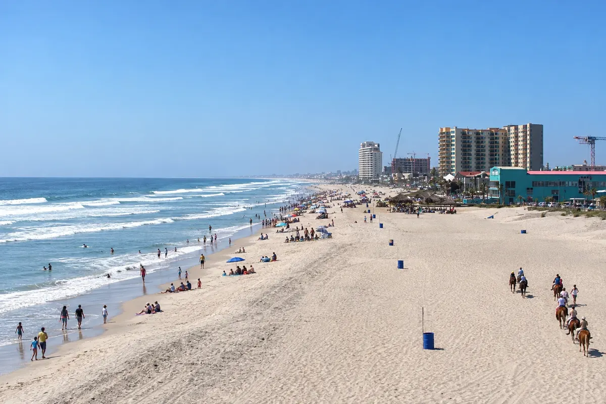
In the photo: Rosarito Beach
Illustrative images. The pictures in this guide are illustrations based on the real place, not photographs, and may differ from it.

The state
Get to know Baixa Califórnia
Baja California occupies the northern half of the peninsula of the same name, between the Pacific Ocean and the Sea of Cortez, on the border with U.S. California. It is a land of desert, mountain ranges and cold coast, with a cuisine and wine production that are among the most renowned in the country.
Tijuana, adjacent to San Diego, is one of the busiest border crossings in the world, with Avenida Revolución, markets and its own food scene; the Caesar salad was created in a restaurant in the city in the 1920s. To the south, Rosarito and the Pacific coast have cold-water beaches popular with surfers.
Ensenada is the main port, known for breaded fish tacos and seafood. Nearby, Valle de Guadalupe produces most of Mexico’s wine, with wineries and restaurants among dry hills, and La Bufadora is a marine geyser where waves enter a rock fissure and spray water upward.
Between December and April gray whales commonly pass the coast during migration to the lagoons of Baja California Sur. The capital, Mexicali, lies in the desert next to the border. The grape harvest is celebrated in August at the Fiestas de la Vendimia.
When to go
The coastal climate is Mediterranean: cool, somewhat rainy winters from December to March, and dry summers. The grape harvest is usually in August, and gray whales typically pass between December and April. Mexicali, in the desert, has very hot summers. Baja California is 5 hours behind Brasília, and 4 hours behind from March to November, when clocks move forward.
Getting there
Tijuana airport (TIJ) receives flights from several Mexican cities; travelers from Brazil usually connect in Mexico City. You can also arrive via San Diego, crossing the border on foot or by car. From Tijuana, Ensenada is about 1.5 hours via the coastal highway, and Valle de Guadalupe is about 30 minutes from Ensenada.
Your questions
Frequently asked questions about Baixa Califórnia
Can you go to Valle de Guadalupe from San Diego?
Yes. The valley is about 2 hours from San Diego, crossing the border at Tijuana. Carry a valid passport and visas for both countries if required.
When to visit Valle de Guadalupe?
At harvest time in August there are festivals at the wineries; from September to November the weather is usually pleasant and there are fewer crowds.
What is La Bufadora?
A marine geyser near Ensenada where waves enter a rock fissure and spray water upward.
What time zone is Baja California in?
It is 5 hours behind Brasília, and 4 hours behind from March to November, when it moves the clock forward along with the United States.