4 cities

 Mexico
 Brazil
 Argentina
 Bolivia
 Chile
 Colombia
 Ecuador
 Guyana
 French Guiana
 Falkland Islands (Malvinas)
 Paraguay
 Peru
 Suriname
 Uruguay
 Venezuela
 Germany
 Austria
 Belgium
 Croatia
 Denmark
 Spain
 Finland
 France
 Greece
 the Netherlands
 Hungary
 Ireland
 Iceland
 Italy
 Luxembourg
 Norway
 Poland
 Portugal
 the United Kingdom
 the Czech Republic
 Sweden
 Switzerland
 TurkeyMexico
 the Dominican Republic
 South Africa
 Fiji
State · Oaxaca
Oaxaca: the historic center and Monte Albán, the Zapotec villages of the valleys, Hierve el Agua, mezcal and mole, and the beaches of Huatulco and Puerto Escondido.
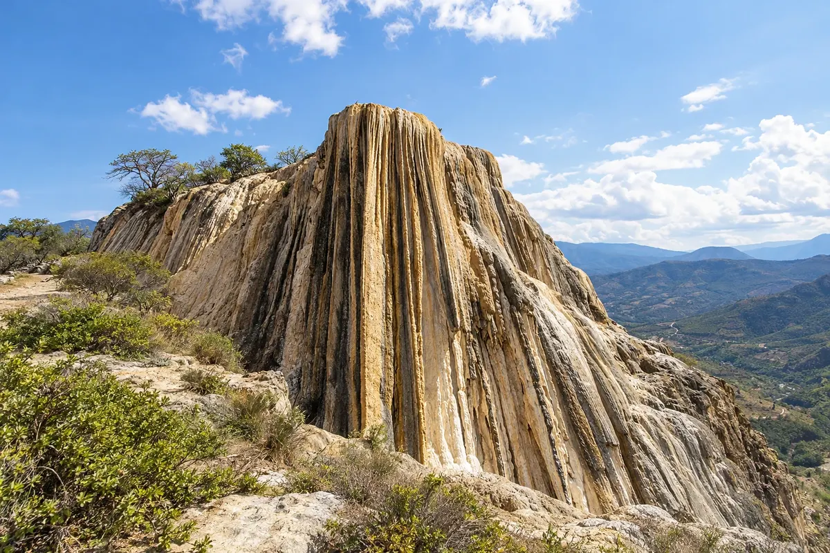
In the photo: Hierve el Agua
Illustrative images. The pictures in this guide are illustrations based on the real place, not photographs, and may differ from it.

The state
Oaxaca is in southern Mexico, between mountain ranges, high valleys and the Pacific. It is the state with the greatest diversity of indigenous peoples in the country, such as Zapotecs and Mixtecs, and their culture appears in the markets, festivals, textiles and food. For many travelers, it is the most remarkable region of Mexico for culture and cuisine.
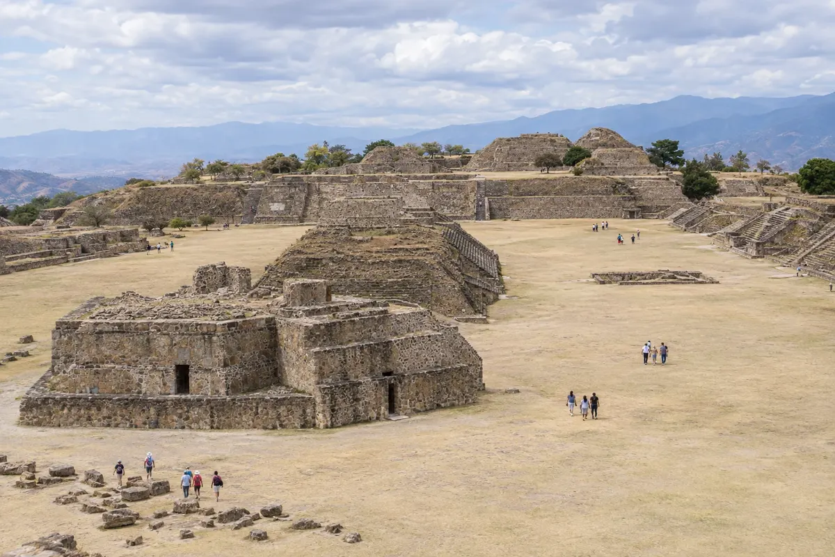
The capital, Oaxaca de Juárez, has a historic center of green stone, with the temple of Santo Domingo de Guzmán and the museum in the former convent, the zócalo and the 20 de Noviembre and Benito Juárez markets. On a hill above the city sits Monte Albán, the ancient Zapotec capital; the city center and the site form a World Heritage.
In the central valleys, the Árbol del Tule, a cypress with a trunk over 40 meters in circumference, is in Santa María del Tule; Teotitlán del Valle is the village of wool rugs dyed with natural dyes; Mitla has walls covered in stone mosaics; and Hierve el Agua has petrified waterfalls and natural pools on the highlands. The valleys produce mezcal, made from agave.
On the coast, Huatulco brings together calm-bay beaches, Puerto Escondido is known for the waves at Zicatela beach, and Mazunte and Zipolite are coastal villages. The cuisine features the seven moles, the tlayuda and hot chocolate. In July, the Guelaguetza gathers dances from all regions of the state, and Day of the Dead is among the country's most traditional.
Destinations
Cities
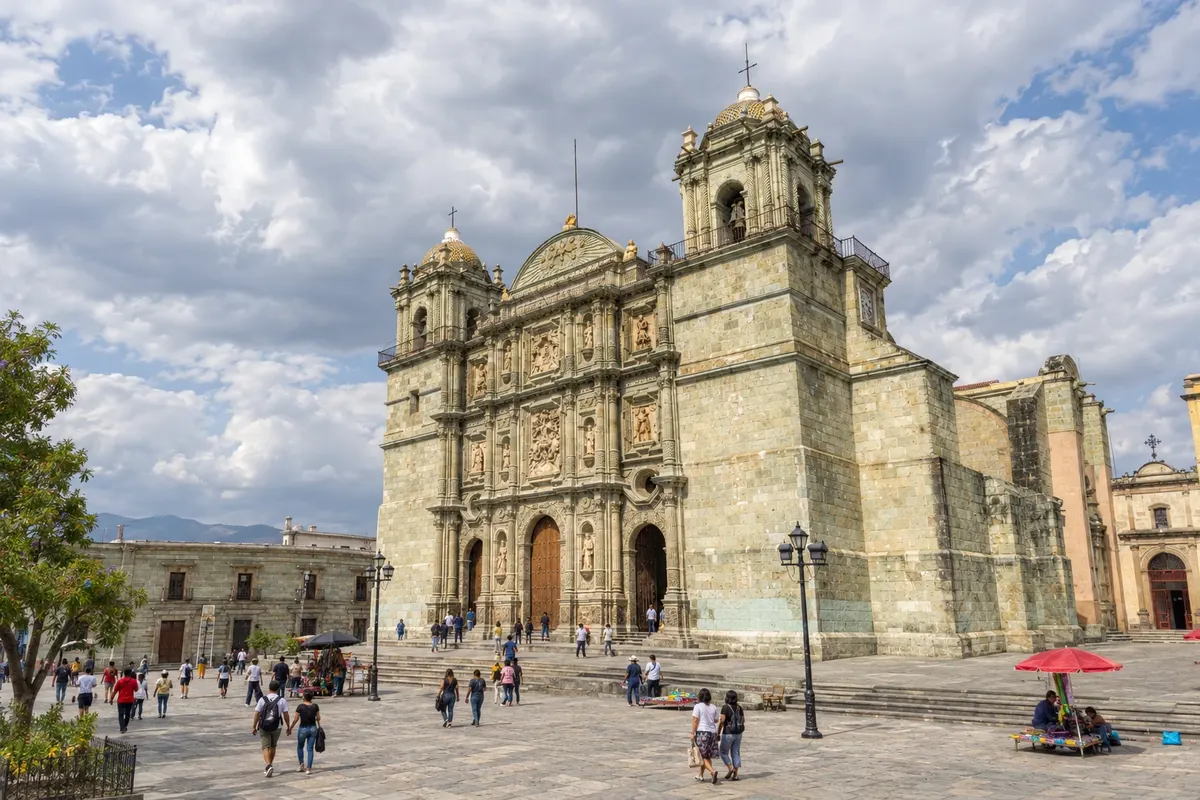
Oaxaca de Juárez is the capital of the state of Oaxaca, at about 1,550 meters altitude, in a valley in southern Mexico. The historic center, a UNESCO heritage site, features the Zócalo, the cathedral, the temple of Santo Domingo de Guzmán and streets of colorful houses, such as the Macedonio Alcalá pedestrian promenade. The city is known for its markets, cuisine, mezcal and the Guelaguetza and Day of the Dead festivals. Monte Albán lies about 10 km away.
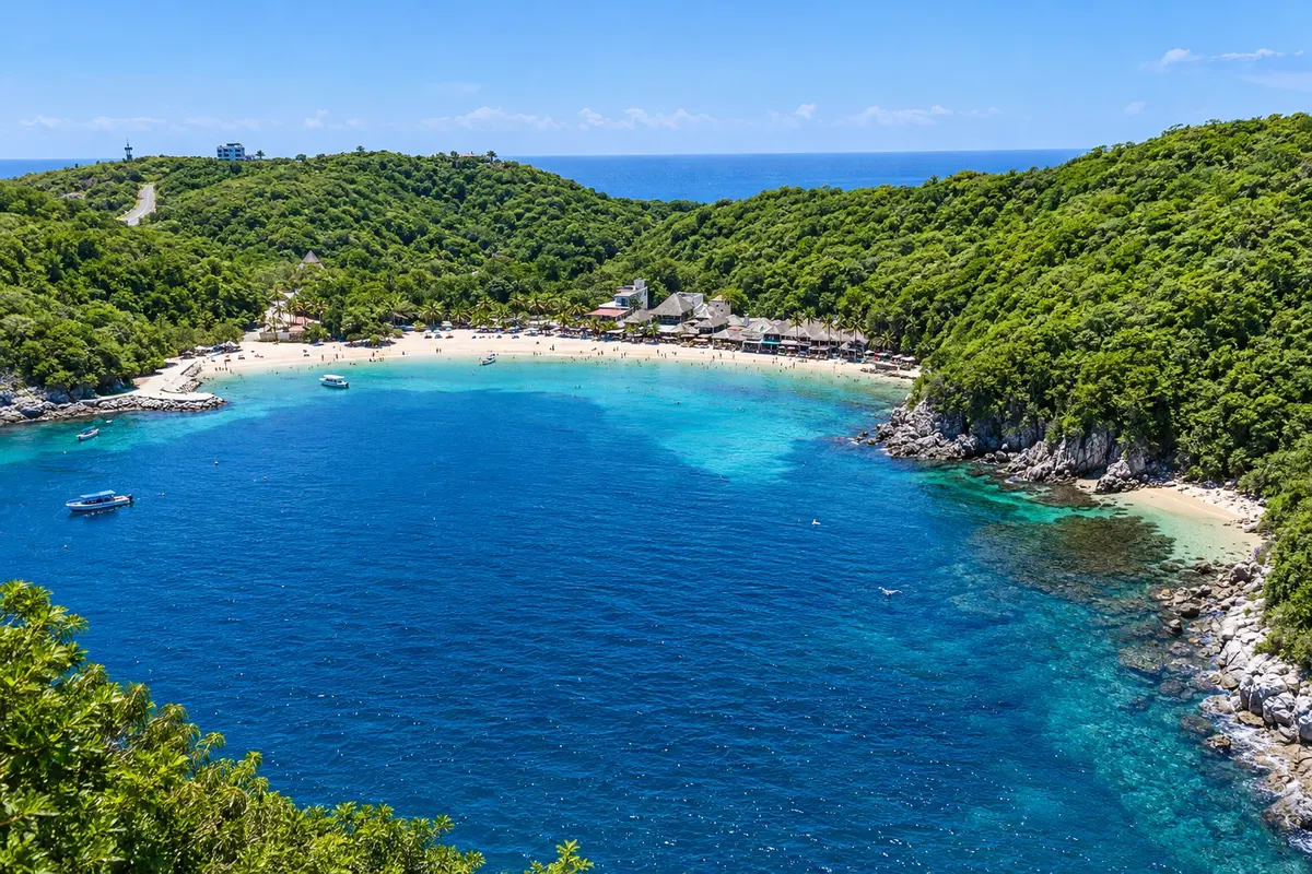
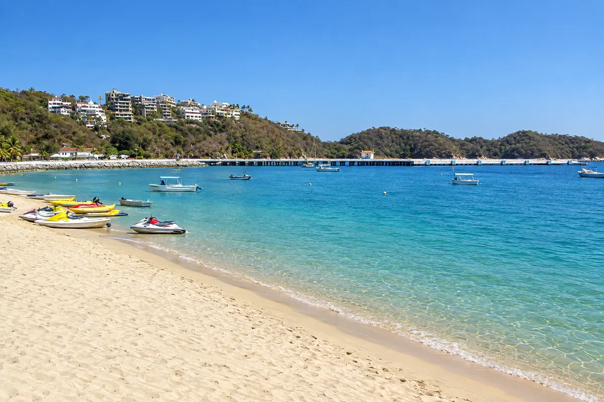
Huatulco is a planned tourist center on Oaxaca’s coast, spread across nine bays and 36 beaches among rocks and dry forest, much of it within Parque Nacional Huatulco. La Crucecita is the urban center with the main square and shops; Santa Cruz has the marina, and Tangolunda the larger hotels. The bays have calm water, good for swimming and snorkeling on coral reefs.
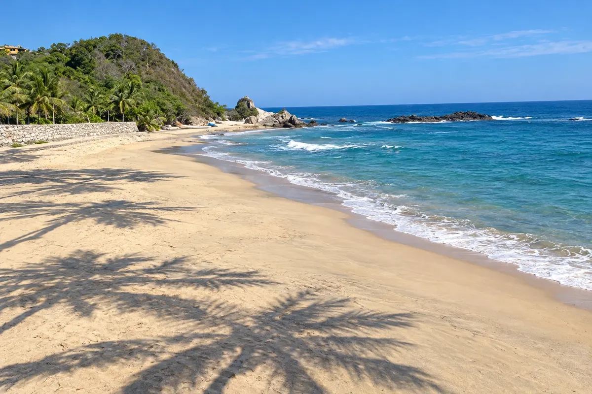
Mazunte is a small beach village on the coast of Oaxaca, between Huatulco and Puerto Escondido, that relied on turtle hunting until it was banned in 1990, and today houses the Mexican Turtle Center. It has a golden-sand beach, simple cabins and restaurants, and the Punta Cometa viewpoint, from which you can see the sunset over the Pacific. The neighboring beach of San Agustinillo has a cove with calmer water.
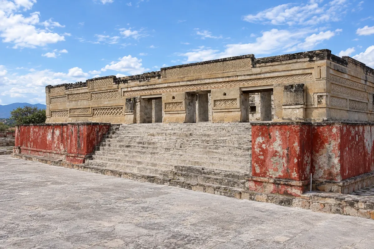
San Pablo Villa de Mitla is a town in the Tlacolula valley, about 45 km east of Oaxaca, known for the Mitla archaeological site, with palaces decorated with stone mosaics in geometric patterns. Next to the ruins is the church of San Pablo, built over one of the palaces. Mitla is also a center for mezcal and textiles production, and the base for Hierve el Agua, about 25 km away.
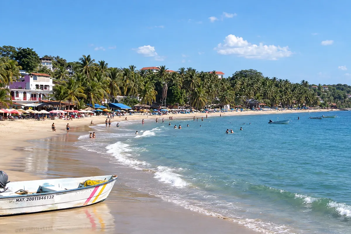
Puerto Escondido is a beach town on the Oaxaca coast, about 110 km from Huatulco, known for Zicatela beach, where the Pipeline Mexicano wave forms and attracts surfers. It also has calm coves like Carrizalillo and Puerto Angelito, and the Manialtepec lagoon with mangroves and bioluminescence. The neighborhoods of Zicatela and La Punta concentrate hotels and nightlife.
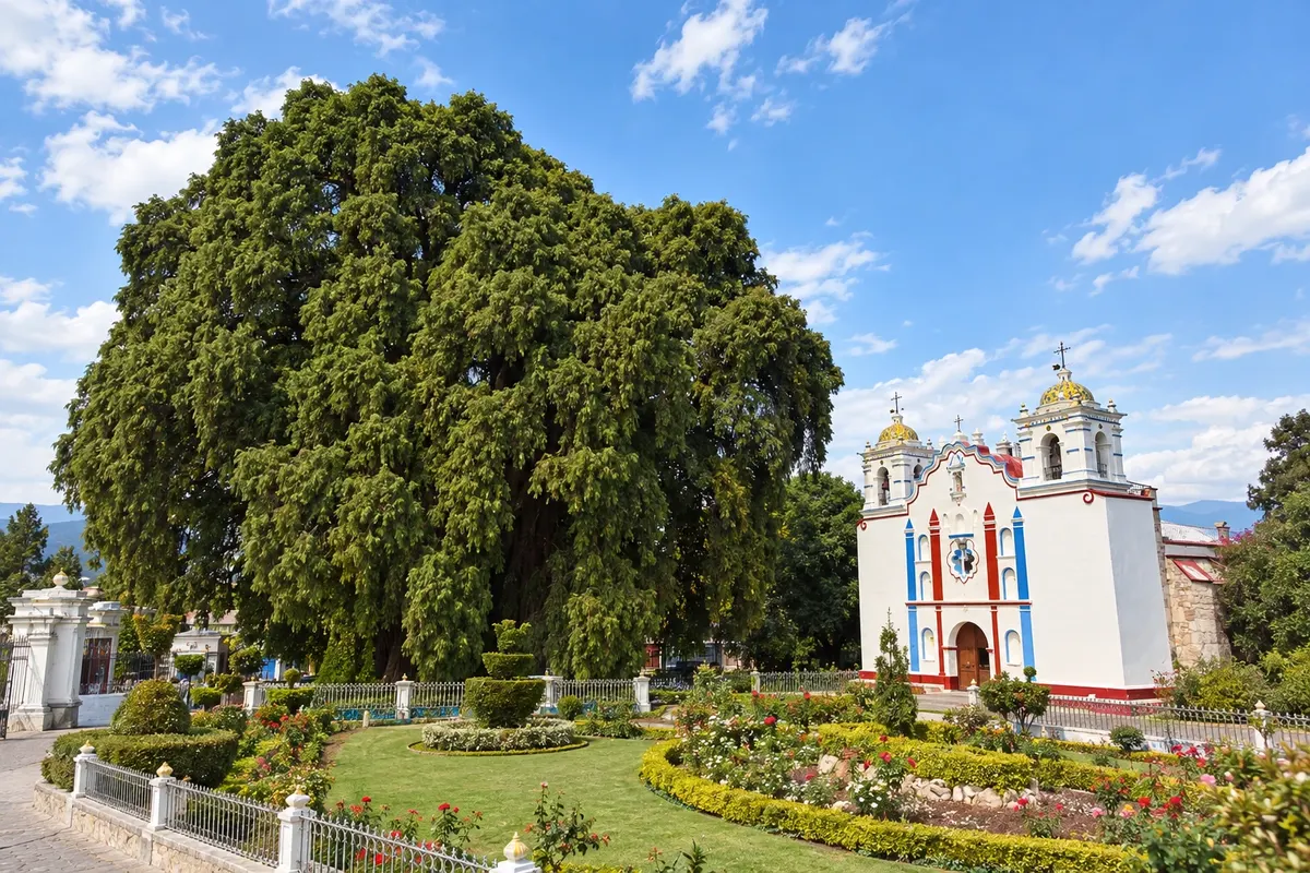
Santa María del Tule is a small village about 12 km east of Oaxaca, on the road to Mitla, known for the Tule tree, a Montezuma cypress with one of the thickest trunks in the world. The tree stands in the churchyard of the Church of the Assumption, next to the square and a food market. It is the first stop on the route that continues to Teotitlán, Yagul and Mitla.
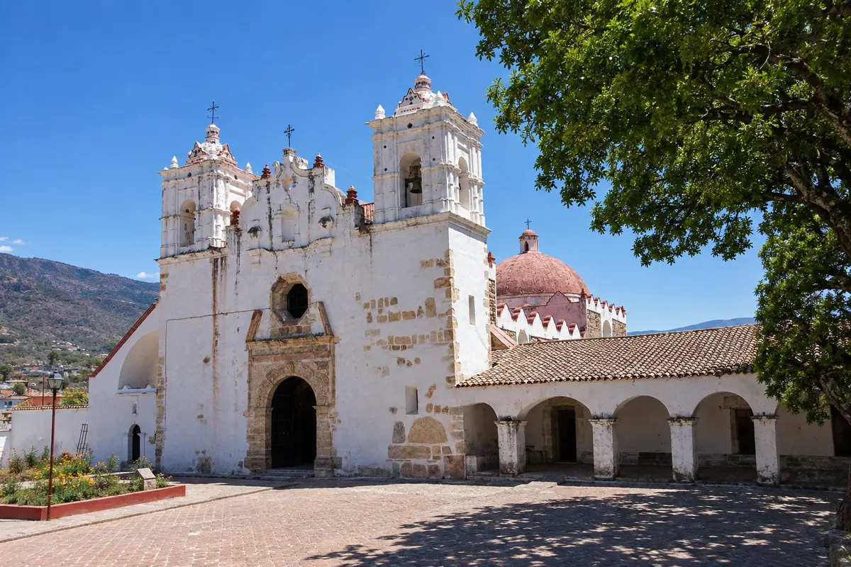
Teotitlán del Valle is a Zapotec village at the foot of the mountains, about 30 km east of Oaxaca, known for handwoven wool rugs dyed with natural colors such as cochineal and indigo. weaving families open their home-workshops to visitors. In the center is the church of the Precious Blood of Christ, built on top of a Zapotec temple. The ruins of Yagul are near the village.
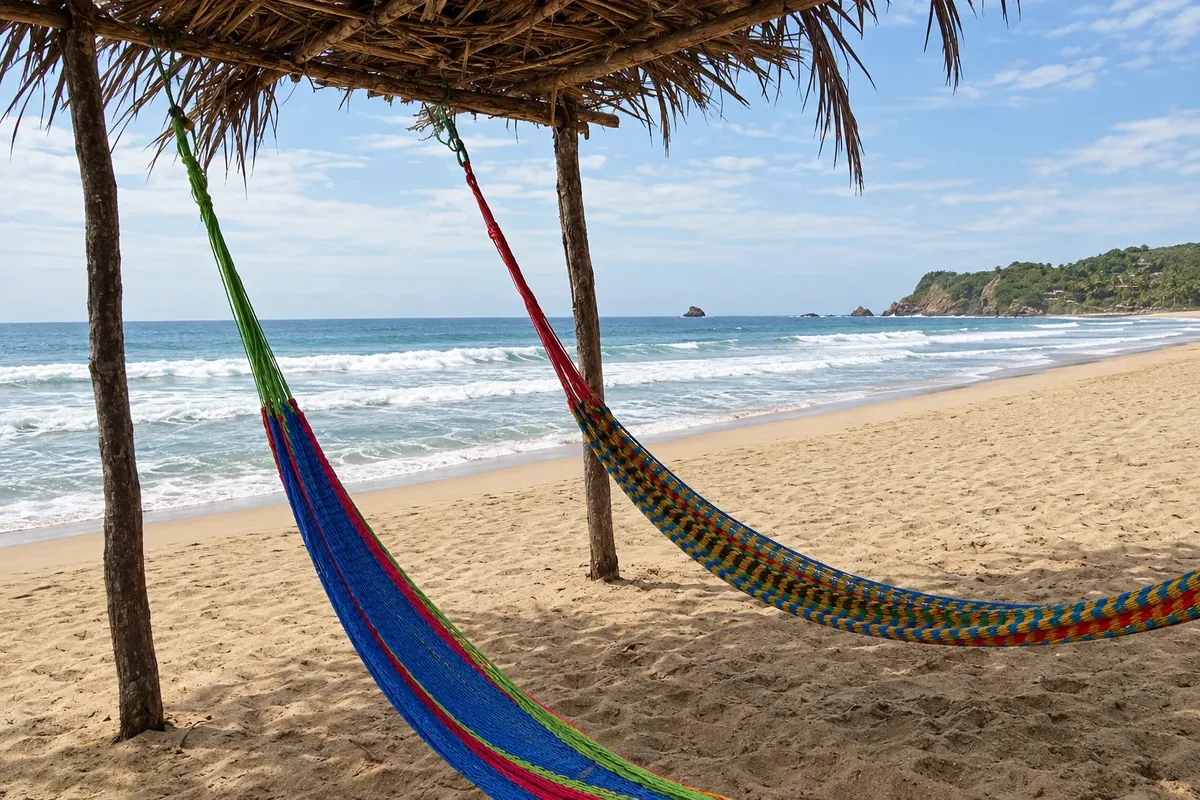
Zipolite is a beach village on the coast of Oaxaca, about 4 km from Mazunte, with a long golden-sand beach open to the Pacific. It is known for its laid-back atmosphere, its inns and beachfront cabins, and its tolerance of naturism. The sea often has strong waves and currents.
From October to May, in the dry season, days are usually sunny in the valleys and on the coast. From June to September it rains in the afternoons, the landscape turns green and the Guelaguetza takes place in July. In the capital, at 1,550 meters, nights are cool from November to February. On the coast, the hurricane season runs from May to November. Oaxaca is 3 hours behind Brasília.
Oaxaca airport (OAX) receives flights from Mexico City and other cities; Huatulco (HUX) and Puerto Escondido (PXM) serve the coast. By bus, the capital is about 6 hours from Mexico City. Between the capital and the coast, the road through the mountains is long and winding; there are short flights and a faster highway to the Huatulco area.
Your questions
Three to four days in the capital allow time for the city center, Monte Albán and the valley villages such as Tule, Teotitlán, Mitla and Hierve el Agua. The coast requires another three to four days.
On the two Mondays after July 16, with performances at the Cerro del Fortín auditorium and city celebrations throughout the month. Confirm the dates before you travel.
By small plane to Puerto Escondido or Huatulco, or by car and by van over the mountains, a journey of several hours on winding roads.
It is a sauce made with dried chiles, seeds, spices and, in some cases, chocolate. Oaxaca is known for its seven moles, such as negro, coloradito and amarillo.