

 Brazil
 Argentina
 Bolivia
 Chile
 Colombia
 Ecuador
 Guyana
 French Guiana
 Falkland Islands (Malvinas)
 Paraguay
 Peru
 Suriname
 Uruguay
 Venezuela
 Germany
 Austria
 Belgium
 Croatia
 Denmark
 Spain
 Finland
 France
 Greece
 the Netherlands
 Hungary
 Ireland
 Iceland
 Italy
 Luxembourg
 Norway
 Poland
 Portugal
 the United Kingdom
 the Czech Republic
 Sweden
 Switzerland
 Turkey
 the Dominican Republic
 South Africa
 Fiji
State · Centro do México (arredores da capital)
Estado do México
The State of Mexico, around the capital: the pyramids of Teotihuacan, the Nevado de Toluca, Valle de Bravo, Malinalco and the Museum of the Viceroyalty in Tepotzotlán.
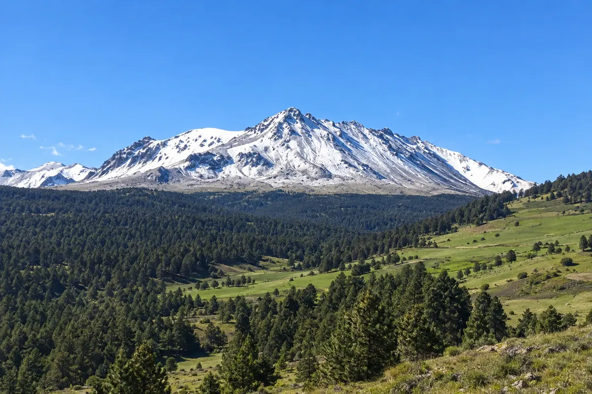
In the photo: Nevado de Toluca
Illustrative images. The pictures in this guide are illustrations based on the real place, not photographs, and may differ from it.

The state
Get to know Estado do México
The State of Mexico surrounds Mexico City on three sides and is the most populous state in the country. To avoid confusion with the country and the capital, the guide calls it the State of Mexico. It stretches from the capital's valley up to mountains above 4,000 meters, with pine forests and lakes.
The main attraction is Teotihuacan, about 50 km from the capital, near San Juan Teotihuacán: one of the largest cities of the ancient world, with the Pyramid of the Sun, the Pyramid of the Moon and the Avenue of the Dead, a World Heritage Site. Sunrise balloon rides over the pyramids usually operate on clear-sky days.
The state capital, Toluca, is close to the Nevado de Toluca, an extinct volcano with two crater lakes, over 4,000 meters high. Valle de Bravo is a village on the edge of a reservoir, with sailing and paragliding; Malinalco has an Aztec temple carved into the mountain rock. In Tepotzotlán, the old Jesuit college houses the National Museum of the Viceroyalty, with a gilded baroque church.
In the west, part of the Monarch Butterfly Biosphere Reserve lies in the State of Mexico, with sanctuaries such as Piedra Herrada, near Valle de Bravo. On the table, Toluca’s green chorizo and barbacoa.
When to go
From October to May days are usually dry and sunny; from December to February mornings are cold, and it can snow on the Nevado de Toluca. From June to September it rains in the afternoons. In Teotihuacan, arriving early avoids the strong midday sun. The state is 3 hours behind Brasília.
Getting there
Visitors from Brazil arrive via Mexico City. The state also has Toluca Airport (TLC) and Felipe Ángeles International Airport (NLU), north of the capital. Teotihuacan is about a 1-hour trip from Mexico City, by bus from the North Bus Terminal or on tours; Valle de Bravo and Malinalco are about 2 to 3 hours away.
Your questions
Frequently asked questions about Estado do México
How to get to Teotihuacan?
From Mexico City, by bus from the North Bus Terminal, by car or on tours, in about 1 hour depending on traffic.
Can you climb the pyramids of Teotihuacan?
Rules for climbing change depending on the conservation of the structures, and access is often restricted. Check before you go.
How much time to allow for Teotihuacan?
Half a day for the Avenue of the Dead and the two pyramids; a full day if you include the museum and the palaces.
What is the balloon ride in Teotihuacan like?
Balloons usually take off at dawn and fly over the pyramids for about an hour, if weather permits. Book with authorized operators.