1 city

 Mexico
 Brazil
 Argentina
 Bolivia
 Chile
 Colombia
 Ecuador
 Guyana
 French Guiana
 Falkland Islands (Malvinas)
 Paraguay
 Peru
 Suriname
 Uruguay
 Venezuela
 Germany
 Austria
 Belgium
 Croatia
 Denmark
 Spain
 Finland
 France
 Greece
 the Netherlands
 Hungary
 Ireland
 Iceland
 Italy
 Luxembourg
 Norway
 Poland
 Portugal
 the United Kingdom
 the Czech Republic
 Sweden
 Switzerland
 TurkeyMexico
 the Dominican Republic
 South Africa
 Fiji
State · Chiapas e Tabasco
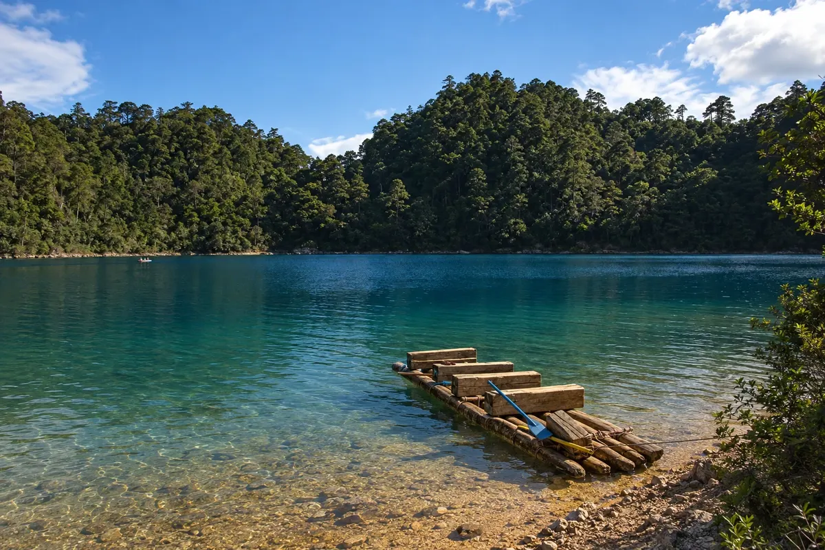
Chiapas: the Sumidero Canyon, San Cristóbal de las Casas in the mountains, the tsotsil villages, the ruins of Palenque in the jungle and the Montebello Lakes.
In the photo: Montebello Lakes
Illustrative images. The pictures in this guide are illustrations based on the real place, not photographs, and may differ from it.

The state
Chiapas is the southernmost state of Mexico, on the border with Guatemala. It has high, cool mountains, tropical rainforest, blue-water rivers and one of the largest indigenous populations in the country, of Maya peoples such as the tsotsiles and tseltales, who maintain their language, clothing and festivals.
Near the capital, Tuxtla Gutiérrez, the Grijalva River runs through the Sumidero Canyon, between cliffs that reach about a thousand meters, navigated by boats that depart from Chiapa de Corzo, a colonial town with the mudéjar fountain La Pila. Going up the highlands, San Cristóbal de las Casas, at about 2,200 meters, has colonial churches, low houses and craft markets.
Near San Cristóbal, the church of San Juan Chamula shows a mix of Catholic and Maya rites, with the floor covered in pine needles and candles; visits require respect and photography inside is prohibited. To the east, near Comitán, the Montebello Lakes form a group of lakes of different colors among pine trees.
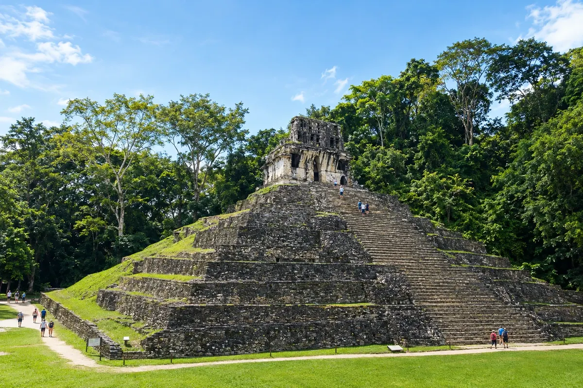
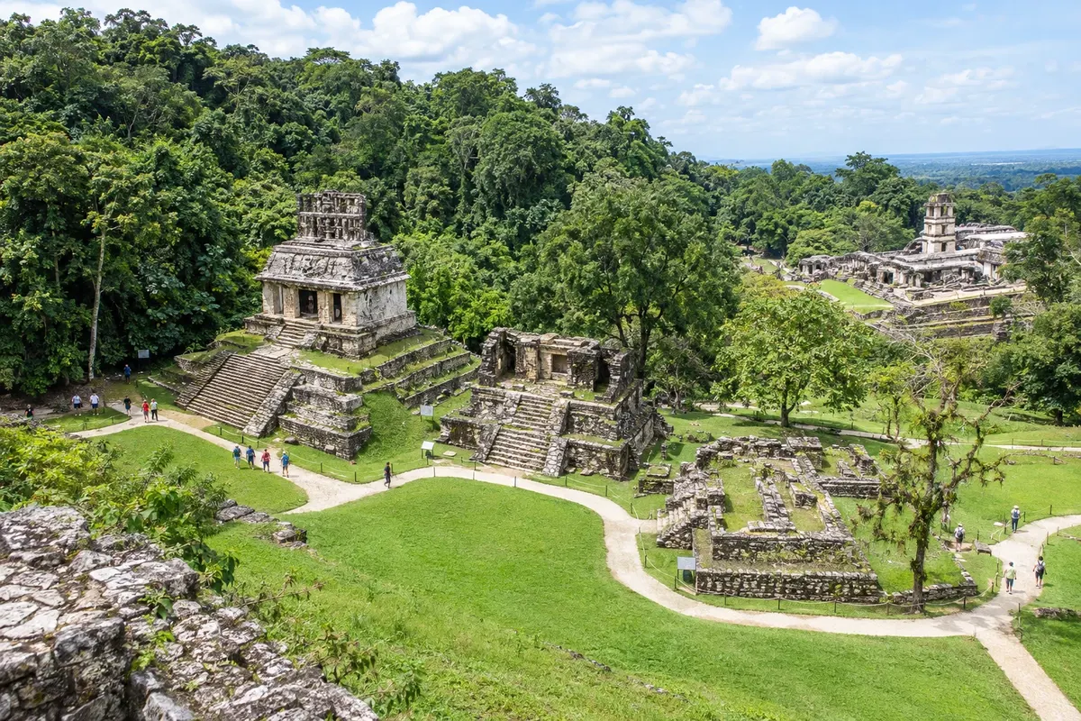
To the north, in the jungle, lies Palenque, one of the best-known Maya cities, with the Temple of the Inscriptions and the palace, a World Heritage Site. On the route are the Agua Azul and Misol-Ha waterfalls. On the table are chiapaneco tamales and highland coffee, one of the state’s best-known products.
Destinations
From November to April, in the dry season, roads and boat trips are usually calmer, and the Agua Azul waterfalls tend to show their bluer water more clearly. From May to October it rains in the afternoons and the jungle becomes more humid. San Cristóbal has cold nights from December to February. Chiapas is 3 hours behind Brasília.
Tuxtla Gutiérrez airport (TGZ) is the state’s main airport, with flights from Mexico City and other cities; Palenque (PQM) receives flights part of the year, and Villahermosa, in Tabasco, is another gateway to Palenque. From Tuxtla, San Cristóbal is about a 1-hour drive. The road between San Cristóbal and Palenque is long and winding; many people do the stretch as a tour, with stops at the waterfalls.
Your questions
Five to seven days allow for the Sumidero Canyon, San Cristóbal and the villages, the Montebello Lakes and Palenque with the waterfalls.
Not inside: photography is prohibited inside the church, and you must ask permission before photographing people in the village.
Yes. The town is at about 2,200 meters, and nights are usually cold, especially from December to February. Bring a jacket.
By plane to Villahermosa or Palenque, by bus from San Cristóbal, or by the Tren Maya, which has a station in the city.