3 cities

 Mexico
 Brazil
 Argentina
 Bolivia
 Chile
 Colombia
 Ecuador
 Guyana
 French Guiana
 Falkland Islands (Malvinas)
 Paraguay
 Peru
 Suriname
 Uruguay
 Venezuela
 Germany
 Austria
 Belgium
 Croatia
 Denmark
 Spain
 Finland
 France
 Greece
 the Netherlands
 Hungary
 Ireland
 Iceland
 Italy
 Luxembourg
 Norway
 Poland
 Portugal
 the United Kingdom
 the Czech Republic
 Sweden
 Switzerland
 TurkeyMexico
 the Dominican Republic
 South Africa
 Fiji
State · Caribe Mexicano (Cancún e Riviera Maya)
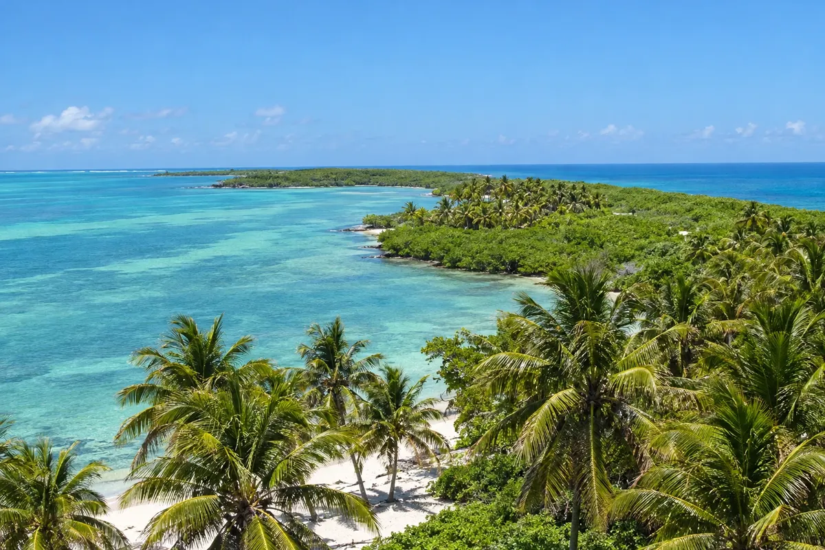
The Mexican Caribbean: Cancún, Playa del Carmen, Tulum, Cozumel, Isla Mujeres, Holbox and Bacalar, amid Mayan ruins, cenotes and turquoise sea.
In the photo: Isla Contoy
Illustrative images. The pictures in this guide are illustrations based on the real place, not photographs, and may differ from it.

The state
Quintana Roo occupies the eastern part of the Yucatán Peninsula and is Mexico’s Caribbean. The coast runs for more than 800 km in front of the Mesoamerican Reef, the second-largest coral barrier in the world, and the white limestone sand gives the sea shades of green and blue. It is the main gateway for Brazilians into the country, via Cancún airport.
Cancún concentrates the hotel zone between the sea and the Nichupté lagoon; opposite lies Isla Mujeres, and to the north, Holbox, where the whale shark usually appears from June to September. To the south begins the Riviera Maya, with Puerto Morelos, Playa del Carmen and its Quinta Avenida, Akumal and the turtles, Puerto Aventuras and the island of Cozumel, known for reef diving.
Further south are the ruins of Tulum, atop a cliff overlooking the sea, the pyramid of Cobá in the middle of the jungle and the Sian Ka'an reserve, a World Heritage Site. The limestone underground holds hundreds of cenotes, wells of fresh, crystal-clear water where you can swim and dive, such as Gran Cenote and Dos Ojos.
At the far south, nearly on the border with Belize, are the lagoon of Bacalar, called the lagoon of seven colors, the beach of Mahahual and Chetumal, the state capital. On the table, the fish tikin xic, roasted in banana leaf with achiote, and dishes of Yucatecan cuisine like cochinita pibil.
Destinations
Cities
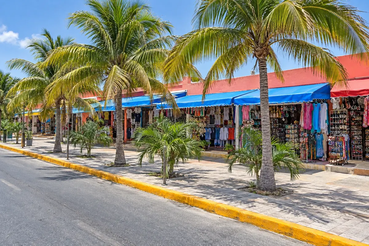
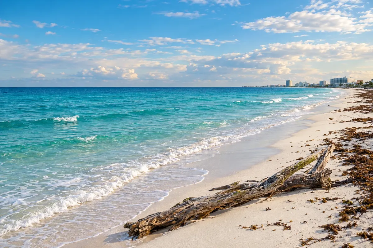
Cancún is the largest city in Quintana Roo and the main tourist airport of Mexico. The Hotel Zone, a sand strip of about 22 km between the Caribbean and the Nichupté lagoon, includes the public beaches, the Museo Maya de Cancún with the San Miguelito archaeological zone and, near Punta Nizuc, the El Rey ruins and Playa Delfines. Downtown, around Tulum Avenue and Parque de las Palapas, has the markets and the bus station. It is 2 hours behind Brasília.
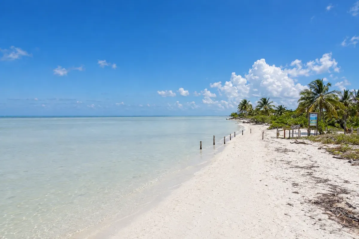
Holbox is a narrow island in northern Quintana Roo, inside the protected area of Yum Balam, separated from the mainland by a shallow lagoon. The village has sandy streets, houses with colorful murals and no cars: transport is by golf cart or bicycle. Boat trips to swim with the whale shark depart from the island, usually appearing from June to September. Holbox Beach and Punta Cocos, to the west, are the sunset spots.
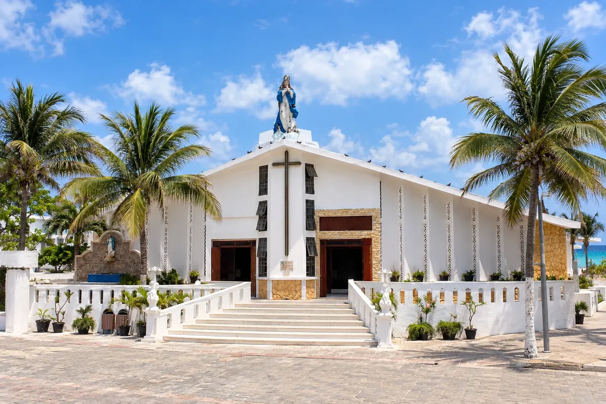
Isla Mujeres is a narrow island about 7 km long off Cancún, a 15–30 minute boat ride away. The village, at the northern tip, has streets of colorful houses and Playa Norte, with white sand and shallow, calm water. At the southern tip, Punta Sur has a lighthouse, a sculpture park and the remains of a Maya temple dedicated to Ixchel, at Mexico’s easternmost point. The island is explored by golf cart or bicycle.
From November to April, in the dry season, days are usually sunny and less humid; this is the high season. From May to October it is hotter, with showers, and it is hurricane season, with higher risk from August to October. Sargassum seaweed tends to arrive on beaches between April and August, varying from year to year. Quintana Roo is 2 hours behind Brasília.
Cancún International Airport (CUN) is the state’s main airport. Connections with Brazil can be direct flights or with stops, depending on the season and the airline. Confirm before purchasing. Tulum (TQO) and Cozumel (CZM) have their own airports, and Chetumal (CTM) receives domestic flights. There are frequent buses between Cancún, Playa del Carmen and Tulum along Federal Highway 307, and the Tren Maya links the region to Yucatán and Campeche. Ferries run to Cozumel and Isla Mujeres from Playa del Carmen and Cancún.
Your questions
Cancún is the city with the hotel zone and the international airport. The Riviera Maya is the stretch of coast to the south, from Puerto Morelos to Tulum, including Playa del Carmen, Akumal and Puerto Aventuras, and it is reached by bus or car from the airport.
The seaweed usually reaches beaches between April and August, in amounts that change from year to year and from beach to beach. Islands such as Isla Mujeres and Cozumel, on the side facing the mainland, usually receive less.
Yes. Chichén Itzá is in the neighboring state of Yucatán, about 200 km from Cancún, and there are day trips that include stops at cenotes and Valladolid.
It is a natural well of fresh water formed when the roof of a limestone cave collapses. Many are open for swimming and diving, often charging an entrance fee, and they usually require biodegradable sunscreen or a rinse before entering.