4 cities

 Mexico
 Brazil
 Argentina
 Bolivia
 Chile
 Colombia
 Ecuador
 Guyana
 French Guiana
 Falkland Islands (Malvinas)
 Paraguay
 Peru
 Suriname
 Uruguay
 Venezuela
 Germany
 Austria
 Belgium
 Croatia
 Denmark
 Spain
 Finland
 France
 Greece
 the Netherlands
 Hungary
 Ireland
 Iceland
 Italy
 Luxembourg
 Norway
 Poland
 Portugal
 the United Kingdom
 the Czech Republic
 Sweden
 Switzerland
 TurkeyMexico
 the Dominican Republic
 South Africa
 Fiji
State · Jalisco, Michoacán e Riviera Nayarit
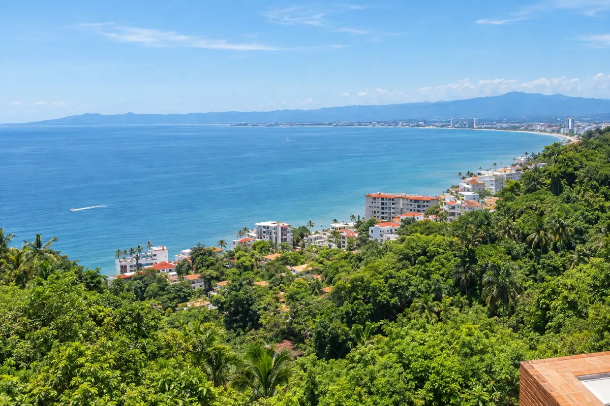
Nayarit and the Riviera Nayarit: Nuevo Vallarta, Bucerías, Sayulita, Punta de Mita and the Islas Marietas, in the Bay of Banderas, as well as San Blas and Mexcaltitán.
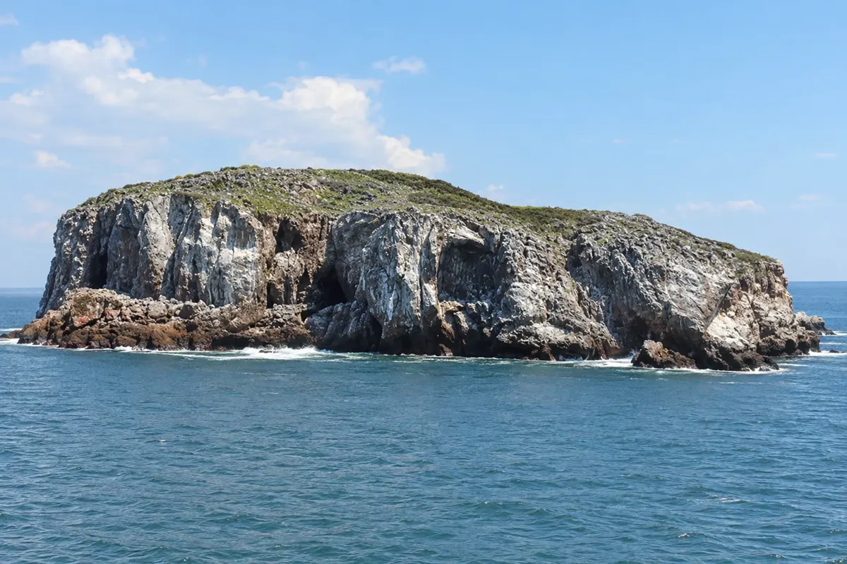
In the photo: Islas Marietas
Illustrative images. The pictures in this guide are illustrations based on the real place, not photographs, and may differ from it.

The state
Nayarit lies on the Pacific, north of Jalisco, between the mountains and the sea. The southern coast, in the Bay of Banderas, became known as the Riviera Nayarit, a string of beaches and small towns that begins just north of Puerto Vallarta. Inland lives the wixárika (huichol) people, known for beadwork and colorful wool-thread art.
Nuevo Vallarta gathers resorts and marinas at the mouth of the Ameca River, next to Puerto Vallarta. Bucerías is a fishing village with a long beach, Sayulita is known for surfing and its laid-back vibe, and Punta de Mita closes the bay to the north, facing the Islas Marietas.
The Islas Marietas, a national park, are volcanic formations with seabirds, where Playa del Amor is found — a beach hidden inside a crater, reached by swimming; access is often limited by a daily quota. From December to March, humpback whales commonly appear in the Bay of Banderas.
Further north, San Blas is an old port surrounded by mangroves, and Mexcaltitán is a village on a round island in the middle of a lagoon, which some associate with the legendary Aztlán. The capital, Tepic, is inland. On the table, the zarandeado fish — split and grilled fish seasoned with chili.
Destinations
Cities
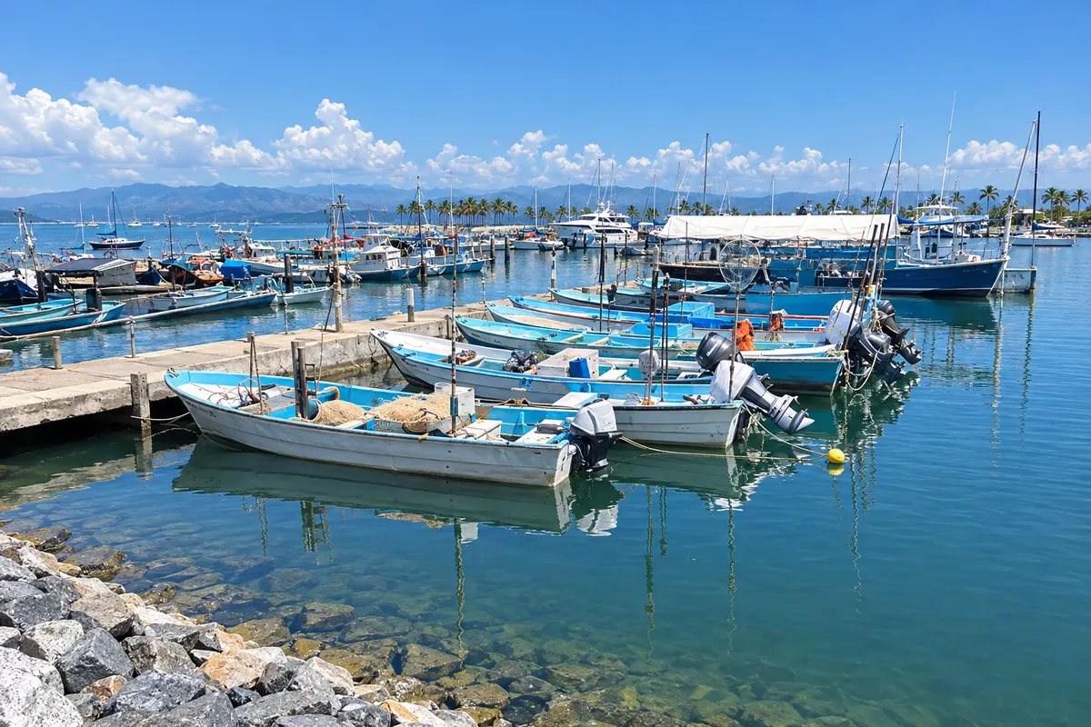
Bucerías is a beach town on the north shore of Bahía de Banderas, between Nuevo Vallarta and Punta de Mita. It has a long, flat beach with calm water, a plaza with a church and cobbled streets with restaurants, galleries and a craft market. It is also known for kitesurfing, with the afternoon wind.
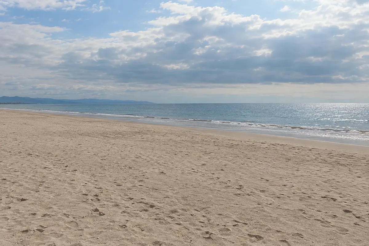
Nuevo Vallarta is the resort area on the north shore of Bahía de Banderas, already in the state of Nayarit, between the mouth of the Ameca River and Bucerías. It was planned in the 1970s with canals, a marina and a several-kilometer light-sand beach. It is a few minutes from Puerto Vallarta airport and is a departure point for tours to the Marietas Islands and for whale-watching.
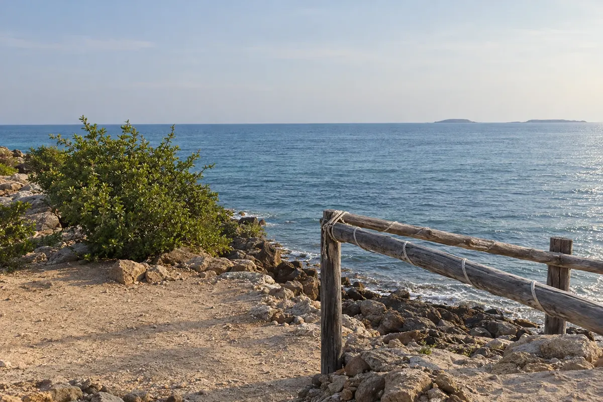
Punta de Mita is the northern tip of Bahía de Banderas, where a fishing village, calm beaches like El Anclote, and an area of resorts and golf courses are located. From there the fastest boats depart for the Islas Marietas, about 8 km away, a national park with seabirds and the Hidden Beach.
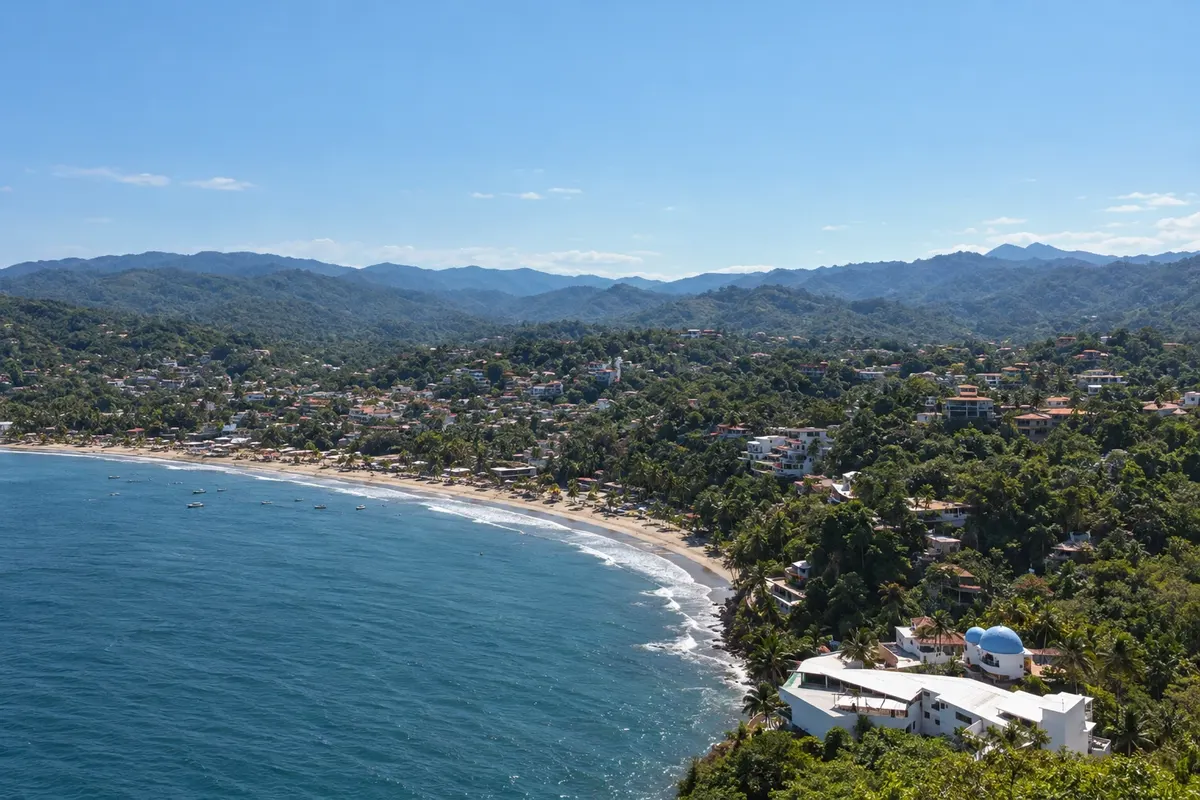
Sayulita is a fishing village on the coast of Nayarit, north of Banderas Bay, that became a surfing center. It has dirt and cobblestone streets with papel picado bunting, a small plaza, cafés, craft shops and a crescent-shaped beach with waves for beginners. South of the village, Los Muertos beach is a small, calm cove.
From November to April there is little rain, the sea is usually calmer and it is the whale season, December to March. From June to October it is hotter, rainy and hurricane season. Bay of Banderas (Nuevo Vallarta, Bucerías, Sayulita and Punta de Mita) is 3 hours behind Brasília; the rest of Nayarit, like Tepic, is 4 hours behind.
The Riviera Nayarit uses Puerto Vallarta International Airport (PVR), which is on the Jalisco side, a few minutes from Nuevo Vallarta. Buses and vans connect the airport to Bucerías, Sayulita and Punta de Mita. For the Islas Marietas, boats depart from Punta de Mita, Nuevo Vallarta and Puerto Vallarta. Tepic has its own airport (TPQ).
Your questions
On authorized boat tours that depart from Punta de Mita, Nuevo Vallarta and Puerto Vallarta. Entry to Playa del Amor usually has a daily quota; confirm before booking.
Sayulita is a surf town with commercial streets and activity. Punta de Mita is the tip of the bay, with resorts and calmer beaches.
Puerto Vallarta (PVR), a few minutes from Nuevo Vallarta and less than 1 hour from Sayulita.
The Bay of Banderas region, including Nuevo Vallarta and Sayulita, uses the same time zone as Puerto Vallarta, 3 hours behind Brasília. The rest of Nayarit is 1 hour earlier.