

 Brazil
 Antarctica
 Argentina
 Bolivia
 Chile
 Colombia
 Ecuador
 Guyana
 French Guiana
 Falkland Islands (Malvinas)
 Paraguay
 Peru
 Suriname
 Uruguay
 Venezuela
 Germany
 Austria
 Belgium
 Croatia
 Denmark
 Slovakia
 Slovenia
 Spain
 Finland
 France
 Greece
 the Netherlands
 Hungary
 Ireland
 Iceland
 Italy
 Luxembourg
 Norway
 Poland
 Portugal
 the United Kingdom
 the Czech Republic
 Sweden
 Switzerland
 Turkey
 Bermuda
 Canada
 the United States
 Greenland
 Mexico
 Saint Pierre and Miquelon
 the Dominican Republic
 South Africa
 Egypt
 Australia
 Fiji
 New Zealand
 Papua New Guinea
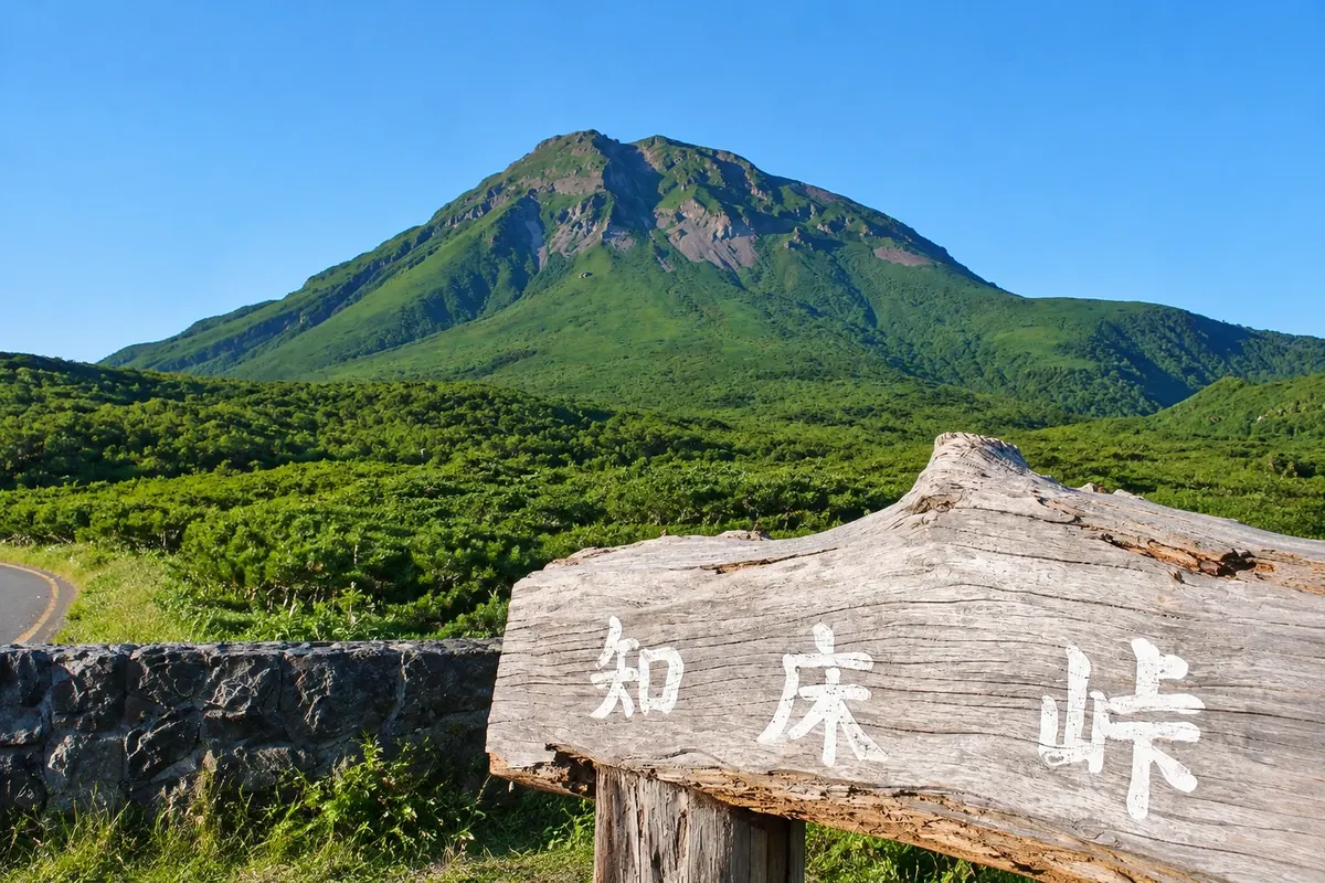
Viewpoint · Shari, Hokkaido
Shiretoko Pass
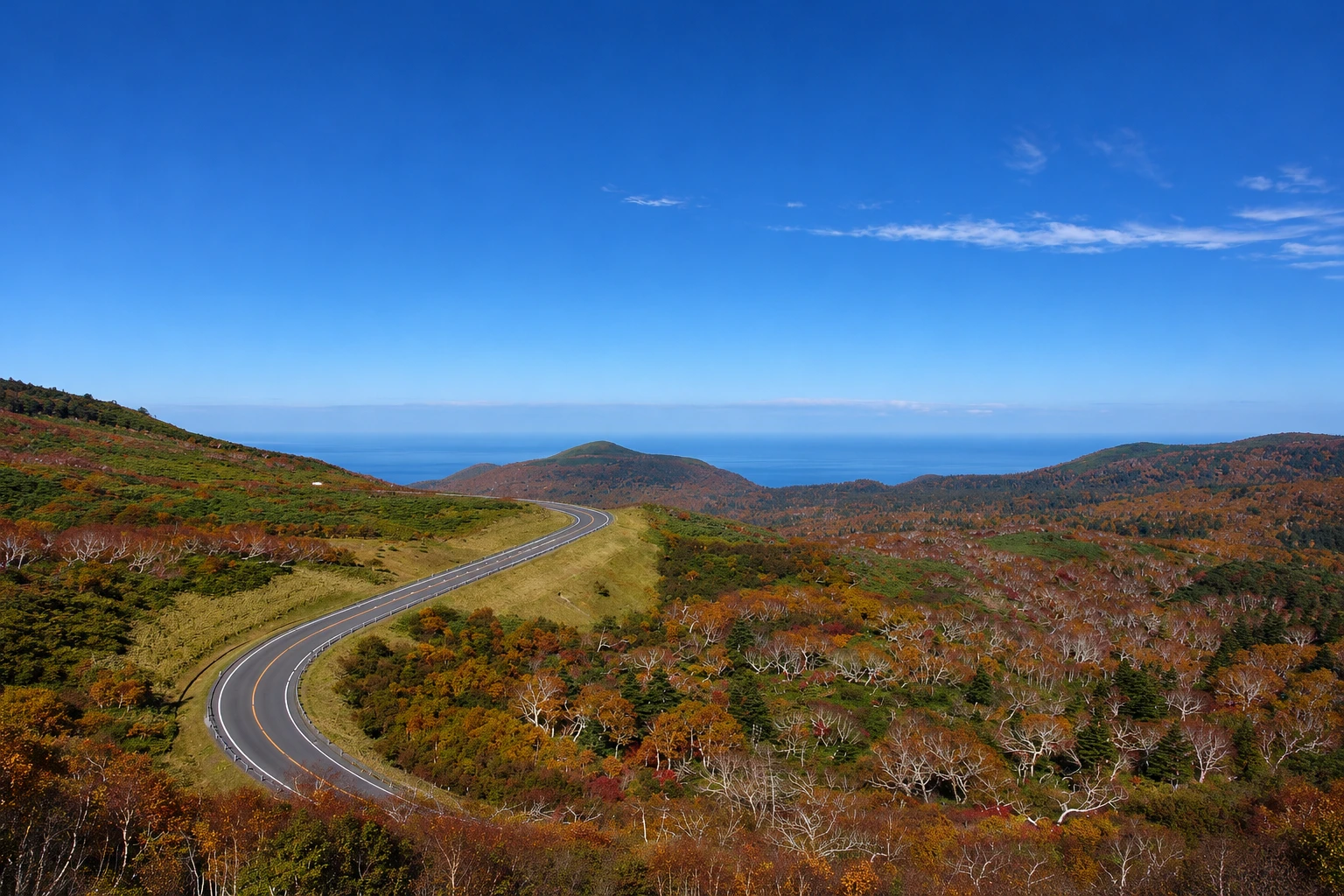
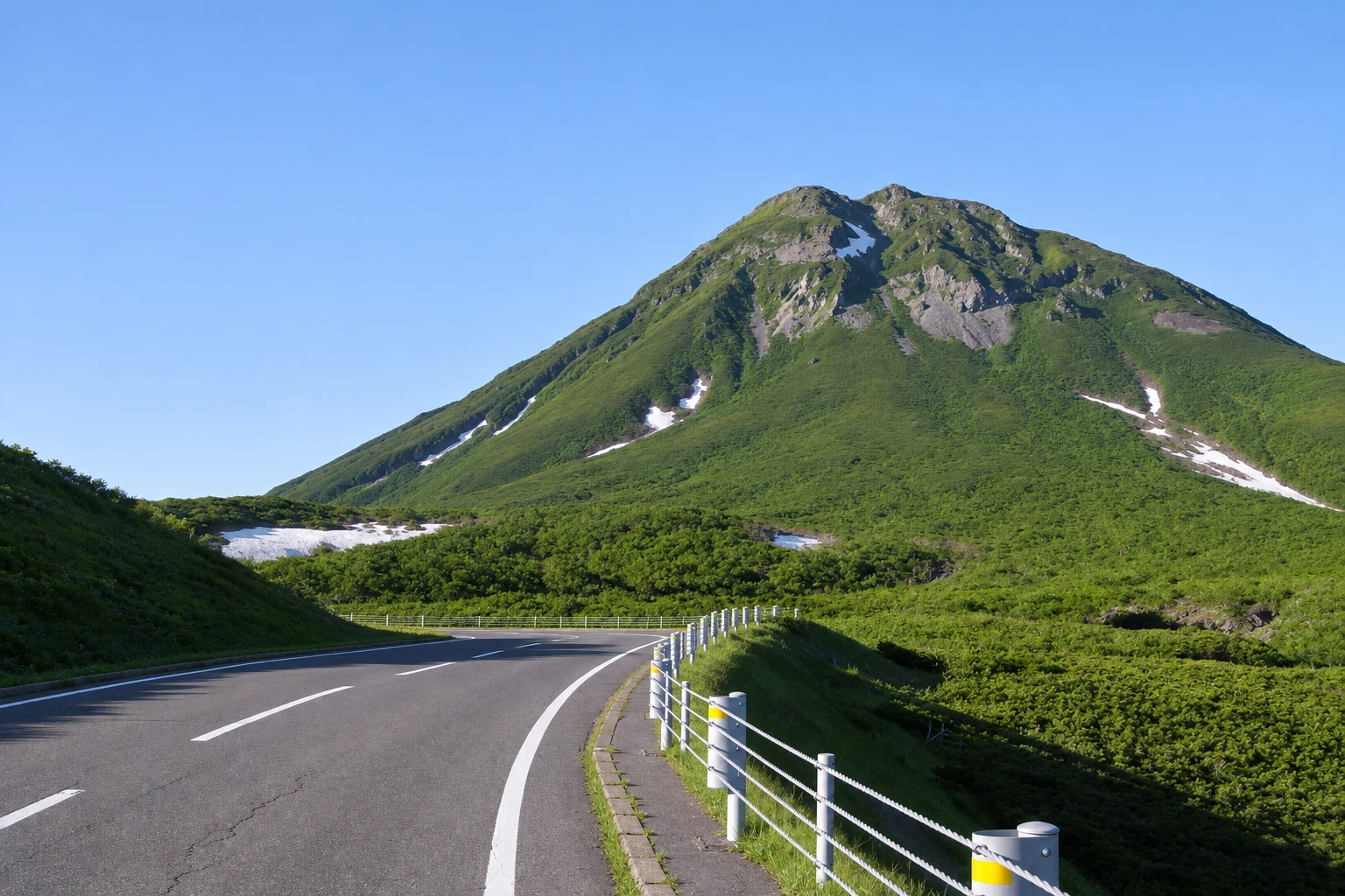
The highest point of the road that crosses the Shiretoko peninsula, at about 740 meters, with views of Mount Rausu and the Nemuro Sea; the road closes in winter.
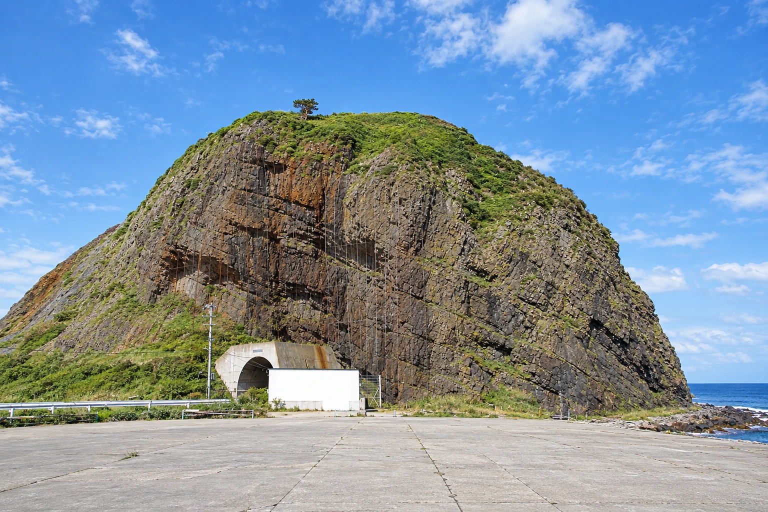
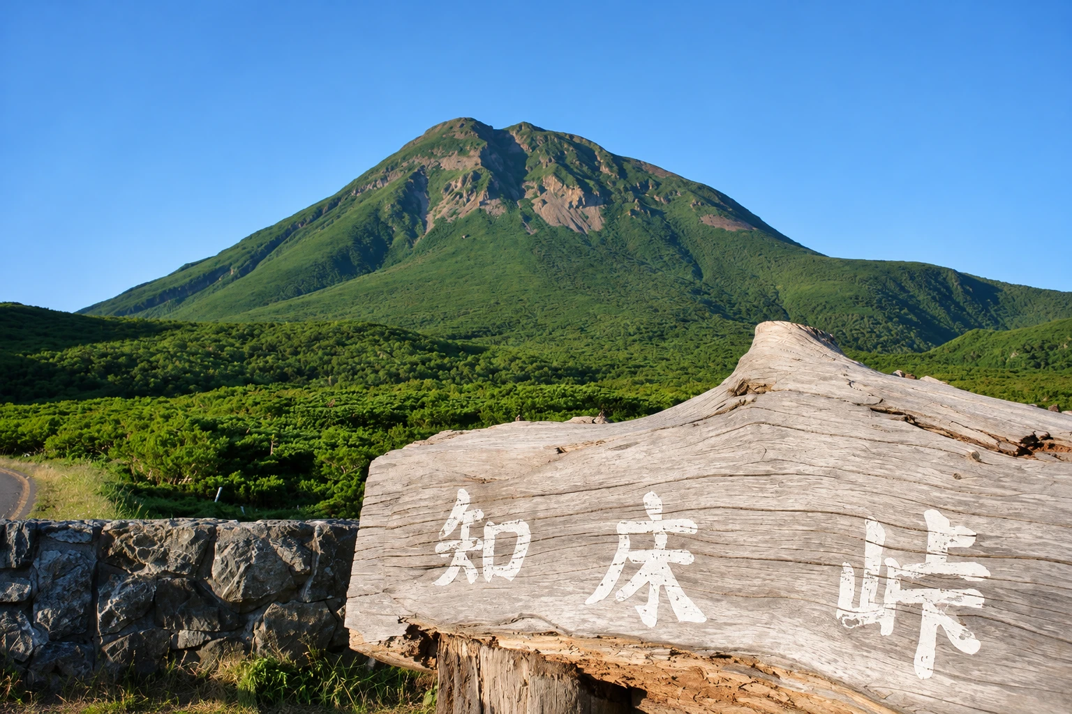
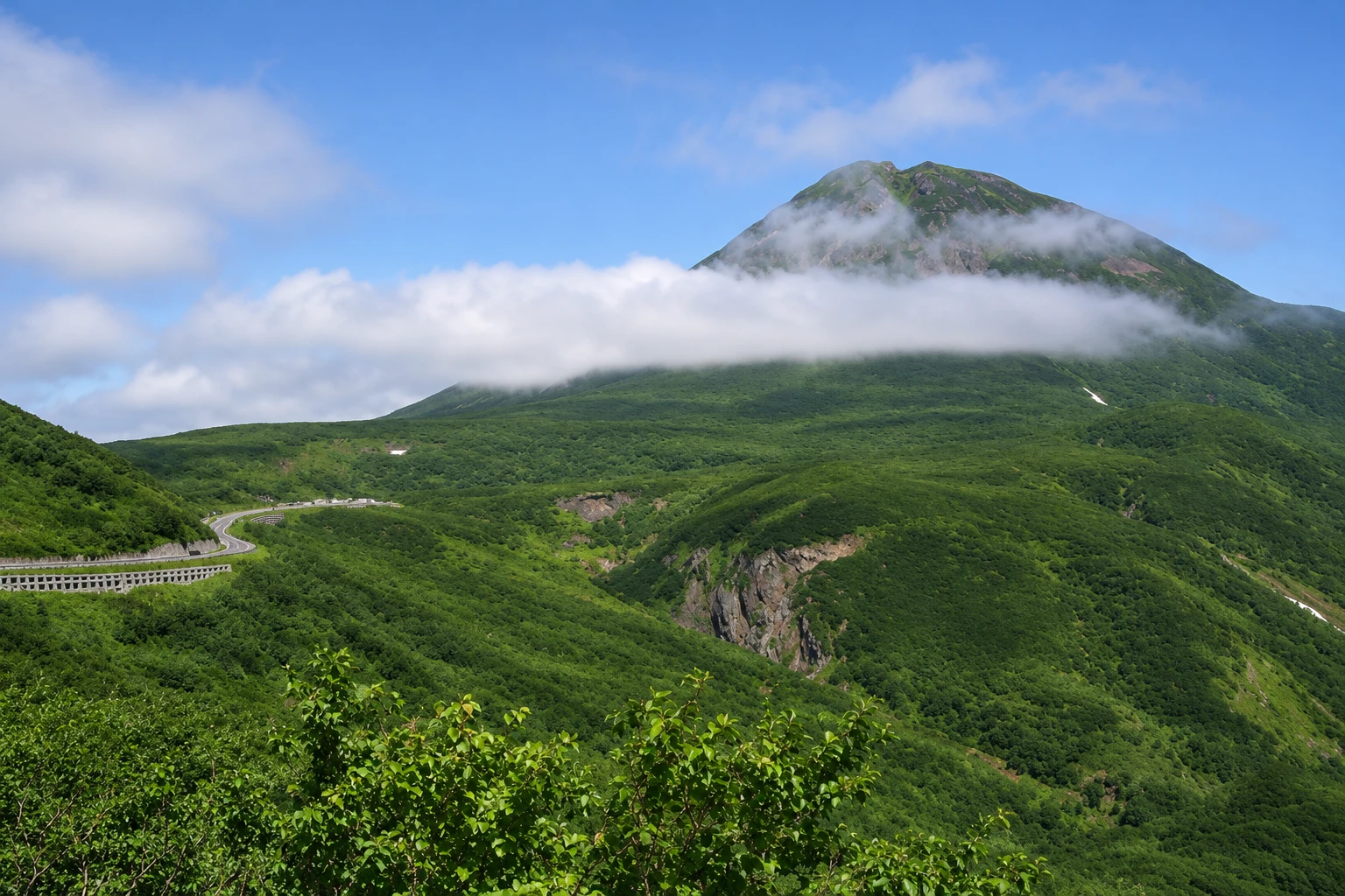
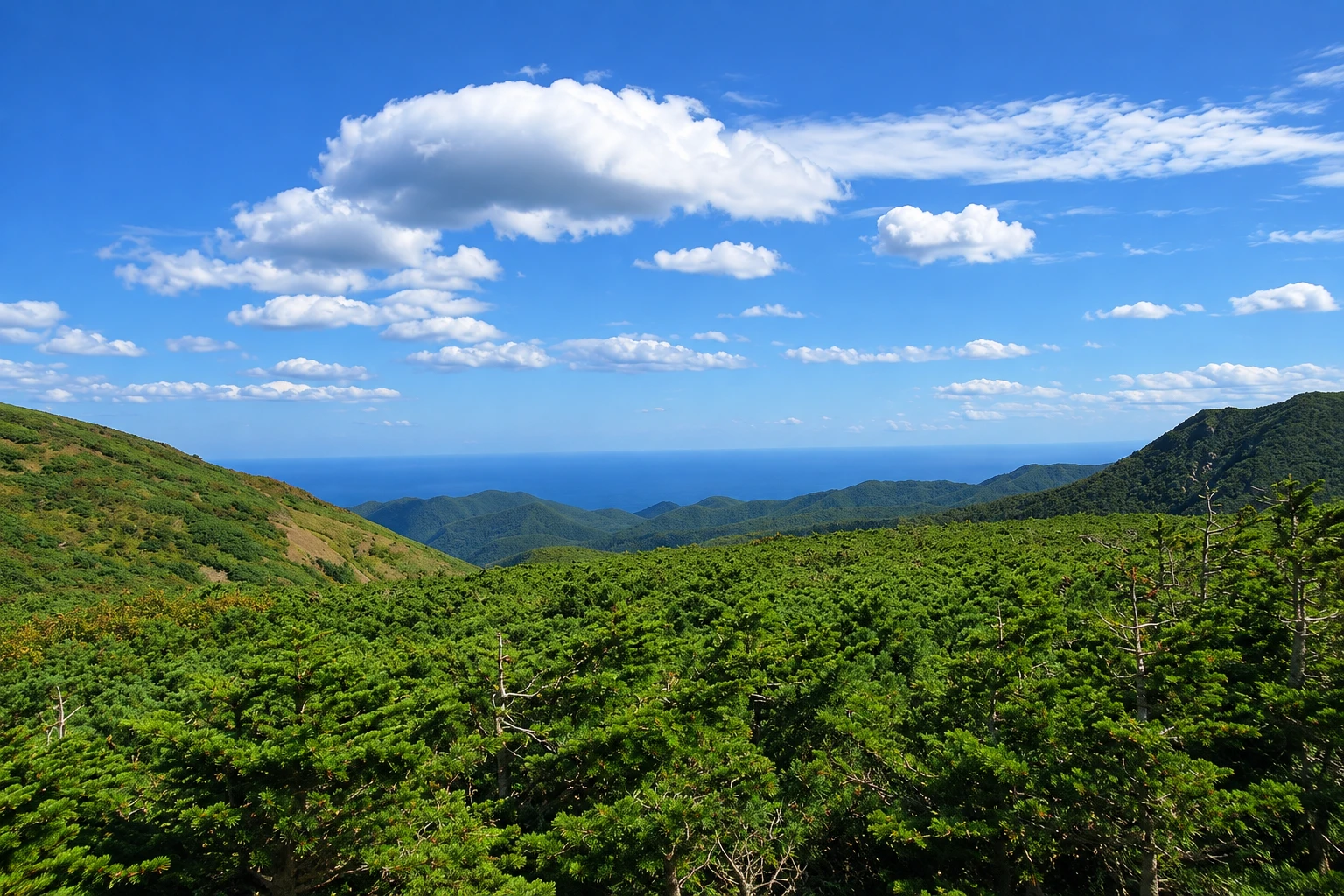
Illustrative images. The pictures in this guide are illustrations based on the real place, not photographs, and may differ from it.

A look at the place
Shiretoko Pass in pictures
These pictures are illustrations based on the real place, not photographs. They may differ from the place.
Click the picture to enlarge it.
Discover
About Shiretoko Pass
Shiretoko Pass is the highest point on National Route 334, the only road that crosses the Shiretoko peninsula, linking Utoro on the Shari side to Rausu on the east side. It sits at about 740 meters elevation, on the border between the two municipalities, in an area of low forest and dwarf pine shrubs, above the limit of larger trees.
From the pass parking area, views open to Mount Rausu, the peninsula’s highest peak at about 1,660 meters, which commonly holds snow until early summer. To the east you can see the Nemuro Sea and Rausu’s coastline. On clear days the horizon stretches to islands across the strait.
The road climbs from Utoro with curves through forest and open slopes, with viewpoints along the way. On the other side it descends to Rausu, a fishing village known for whale and dolphin watching in summer and for Steller sea eagle viewing in winter. Weather changes quickly: the pass often becomes foggy even when there is sun in the villages.
The pass road usually closes from early November to late April due to snow, and also at night during the season. In spring reopening, the road passes between walls of snow. There is no entrance fee; the parking area has restrooms and information.
Before you go
Practical information
Cidade Turismo reviews its information regularly, but something may have changed. Check with the place before planning your trip.
How much time to set aside
About 20 to 30 minutes at the pass; 1.5 to 2 hours to cross from Utoro to Rausu, with stops.
Best time
From June to October, on clear mornings. Early in the season, in late April and May, there are snow walls along the road. The road typically closes from early November to late April and at night. Confirm conditions before you go.
How to get there
From Utoro, it’s about 20 km via National Route 334 by car. In season, buses run between Utoro and Rausu via the pass, with only a few departures.
Tip
Go early, when fog is usually lighter, and bring a jacket even in summer. If you plan to cross to Rausu, check the road opening times for the day.
Get your questions answered
Frequently asked questions about Shiretoko Pass
When does the Shiretoko Pass open?
The pass road usually opens from late April to early November, and closes at night. Dates depend on the snow; confirm before you go.
What can you see from Shiretoko Pass?
Mount Rausu, the highest of the peninsula, and the Nemuro Sea to the east. On clear days the view reaches the horizon beyond the strait.
How long does it take from Utoro to Rausu via the pass?
About one hour by car without stops. With stops at viewpoints, 1 hour 30 minutes to 2 hours.
Are there buses to Shiretoko Pass?
In season, some buses connect Utoro to Rausu via the pass, with few departures per day. Check the timetables.
Beyond the guide


