

 Brazil
 Antarctica
 Argentina
 Bolivia
 Chile
 Colombia
 Ecuador
 Guyana
 French Guiana
 Falkland Islands (Malvinas)
 Paraguay
 Peru
 Suriname
 Uruguay
 Venezuela
 Germany
 Austria
 Belgium
 Croatia
 Denmark
 Slovakia
 Slovenia
 Spain
 Finland
 France
 Greece
 the Netherlands
 Hungary
 Ireland
 Iceland
 Italy
 Luxembourg
 Norway
 Poland
 Portugal
 the United Kingdom
 the Czech Republic
 Sweden
 Switzerland
 Turkey
 Bermuda
 Canada
 the United States
 Greenland
 Mexico
 Saint Pierre and Miquelon
 the Dominican Republic
 South Africa
 Egypt
 Australia
 Fiji
 New Zealand
 Papua New Guinea
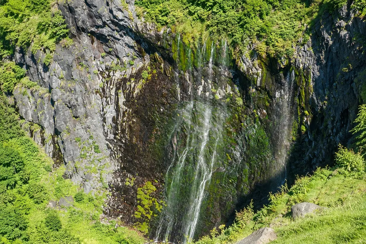
Waterfall · Shari, Hokkaido
Furepe Falls
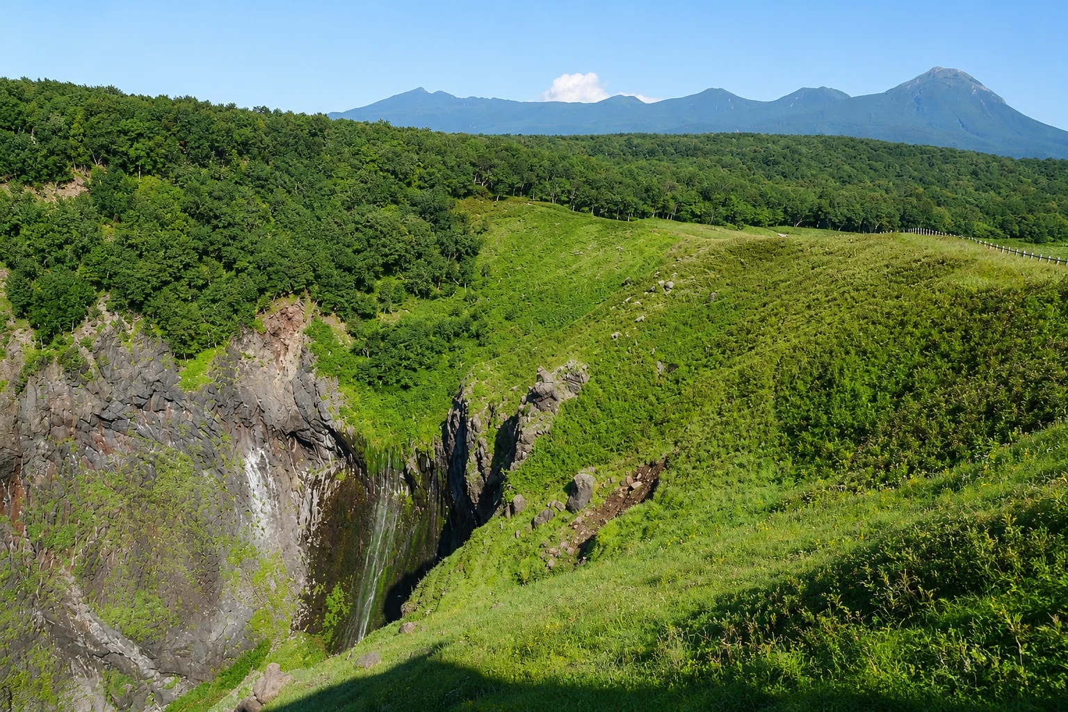
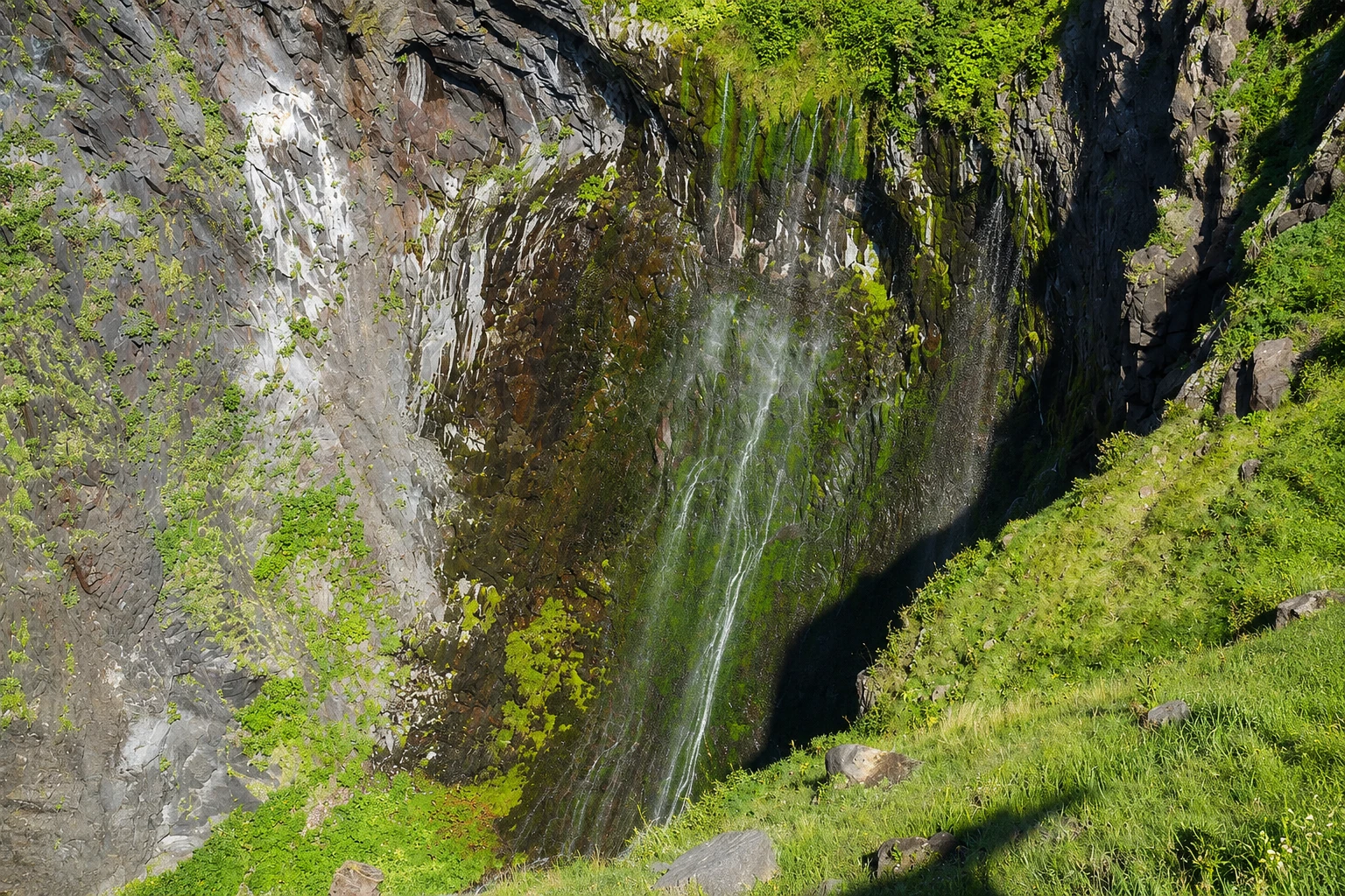
A ribbon of water that springs from the rock and falls from a cliff about 100 meters straight into the Sea of Okhotsk, reached by a short trail from the park visitor center.
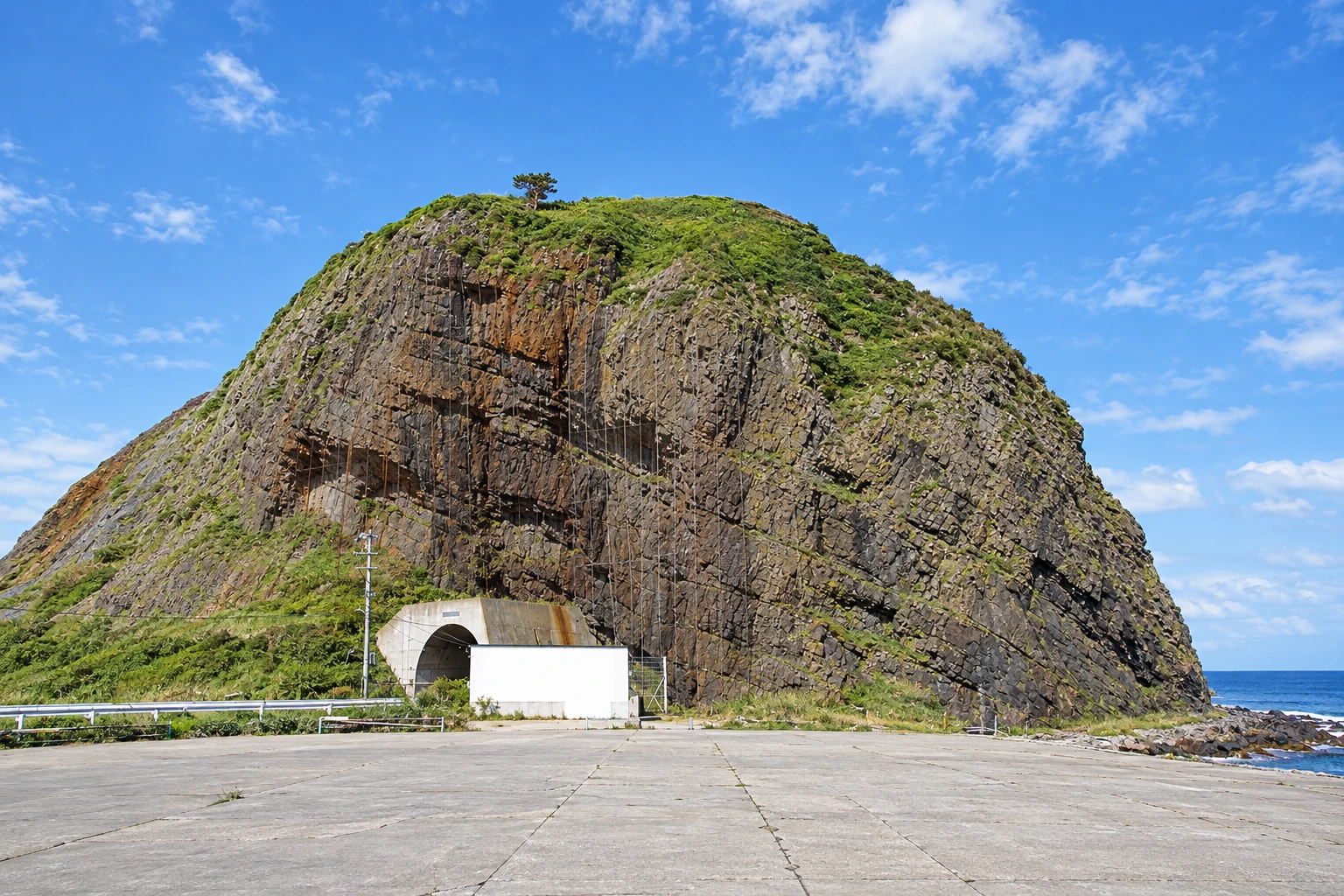
Illustrative images. The pictures in this guide are illustrations based on the real place, not photographs, and may differ from it.

A look at the place
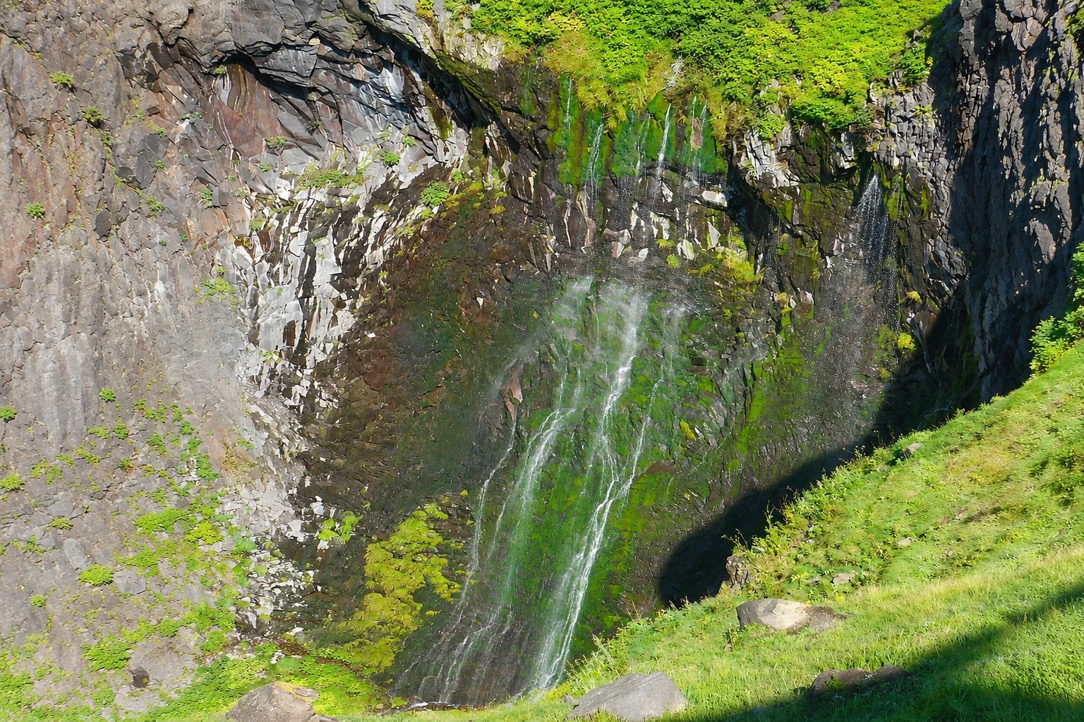
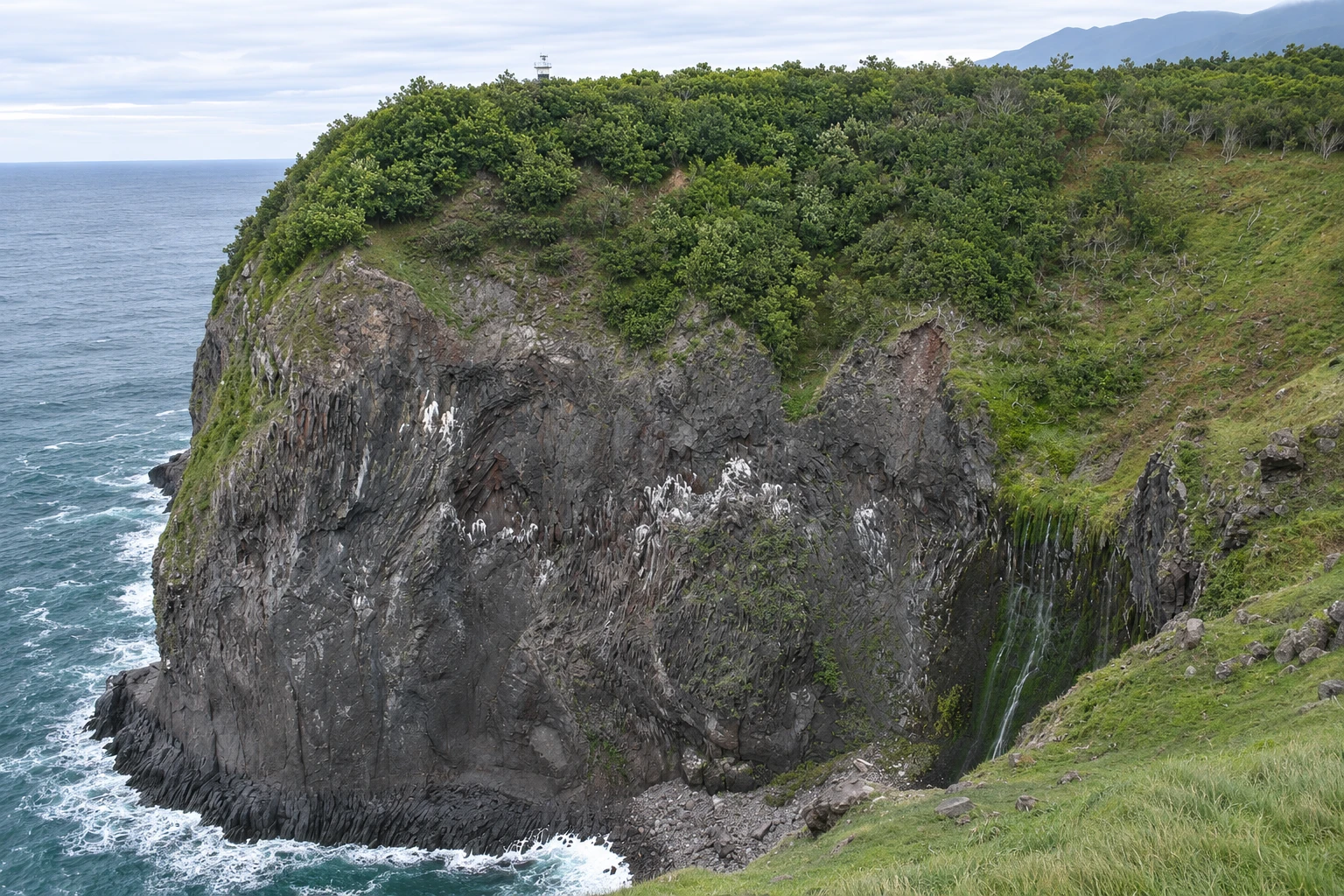
Furepe Falls in pictures
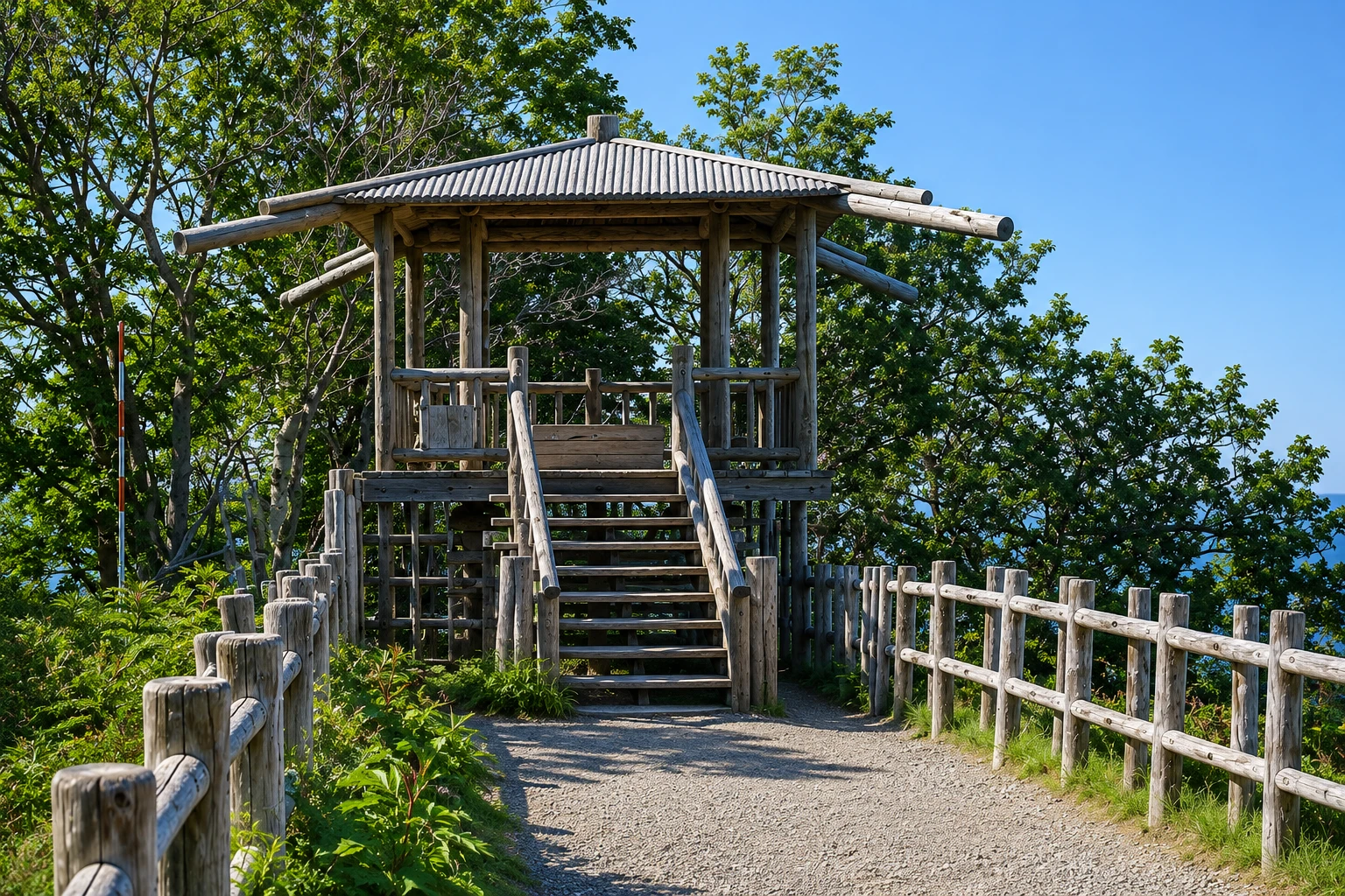
These pictures are illustrations based on the real place, not photographs. They may differ from the place.
Click the picture to enlarge it.
Discover
About Furepe Falls
Furepe Waterfall sits on the coastal cliff a few kilometers from Utoro, near the park’s visitor center, the Shiretoko Nature Center. It is not fed by a river: rain and snow that fall on the mountains soak into the ground and emerge from the rock at the top of the cliff, falling in thin streams directly into the Sea of Okhotsk, from about 100 meters high. That is why it is also called “the maiden’s tears.”
The trail to the viewpoint leaves from the back of the visitor center and crosses an open field and a birch and oak forest, a roughly 1 km route that is flat and well marked. Sika deer are commonly seen along the way, and the field is bear country, so there are signs and instructions. The viewpoint is on the edge of the cliff, offering views of the fall, the sea, and, on clear days, the coastline as far as Utoro.
In winter, some of the water freezes and forms ice columns on the cliff, and the snow-covered trail can be done with snowshoes, usually with guides. Early in the year, sea ice sometimes covers the ocean below the viewpoint, creating an all-white landscape.
The visitor center has exhibits about the peninsula’s nature and a large-screen film, plus up-to-date information about bear activity on the trails. It is the natural starting point for visiting Shiretoko, before going to the Five Lakes.
Before you go
Practical information
Cidade Turismo reviews its information regularly, but something may have changed. Check with the place before planning your trip.
How much time to set aside
About 40 minutes to an hour, round trip, from the visitor center.
Best time
From May to October, daytime; late afternoon often offers good light over the sea. In winter the waterfall forms ice columns and the trail is snow-covered. The trail may close if bears are nearby. Confirm at the visitor center before you go.
How to get there
From Utoro, the park visitor center is about 5 km away by car or local bus. The trail starts at the back of the center.
Tip
Ask the visitor center about bear presence before setting out. Bring a jacket, because the wind on top of the cliff is strong, and do not leave the marked trail.
Get your questions answered
Frequently asked questions about Furepe Falls
Where does the water of Furepe Falls come from?
From the rain and snow of the mountains, which seep into the ground and emerge from the rock at the top of the cliff, falling directly into the sea.
Is the Furepe Falls trail easy?
Yes. It’s about 1 km, flat, from the park visitor center. It takes about 20 minutes each way.
Can you see Furepe Falls in winter?
Yes, usually with snowshoes and guided tours. The water partly freezes and forms ice columns.
Are there bears on the Furepe Falls trail?
The area is frequented by brown bears, and the trail can close when animals are nearby. Follow the visitor center’s instructions.
Beyond the guide


