

 Brazil
 Antarctica
 Argentina
 Bolivia
 Chile
 Colombia
 Ecuador
 Guyana
 French Guiana
 Falkland Islands (Malvinas)
 Paraguay
 Peru
 Suriname
 Uruguay
 Venezuela
 Germany
 Austria
 Belgium
 Croatia
 Denmark
 Slovakia
 Slovenia
 Spain
 Finland
 France
 Greece
 the Netherlands
 Hungary
 Ireland
 Iceland
 Italy
 Luxembourg
 Norway
 Poland
 Portugal
 the United Kingdom
 the Czech Republic
 Sweden
 Switzerland
 Turkey
 Bermuda
 Canada
 the United States
 Greenland
 Mexico
 Saint Pierre and Miquelon
 the Dominican Republic
 South Africa
 Egypt
 Australia
 Fiji
 New Zealand
 Papua New Guinea
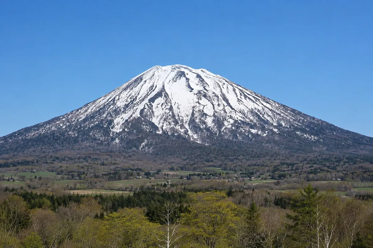
Mountain · Kutchan, Hokkaido
Mount Yotei
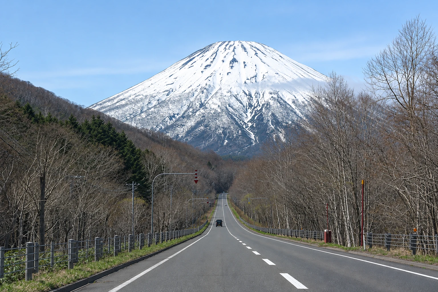
An almost perfectly conical volcano, 1,898 meters high, nicknamed the “Fuji of Ezo,” dominating Niseko’s landscape and with summer trails up to the crater at the top.
Illustrative images. The pictures in this guide are illustrations based on the real place, not photographs, and may differ from it.

A look at the place
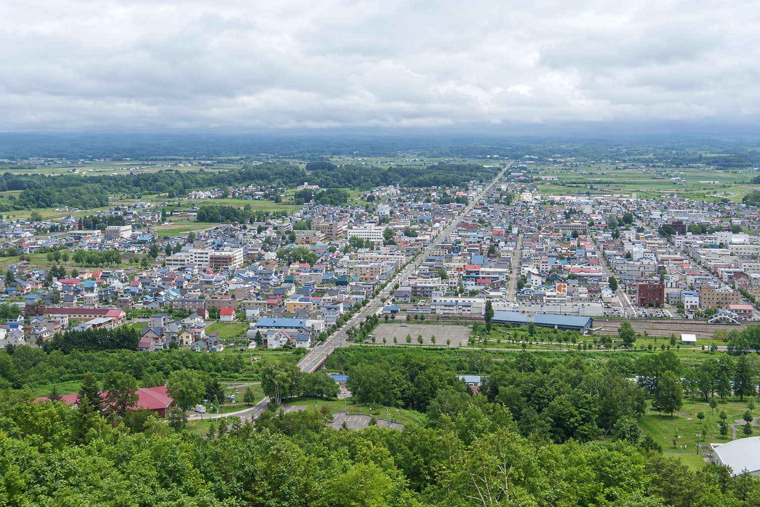
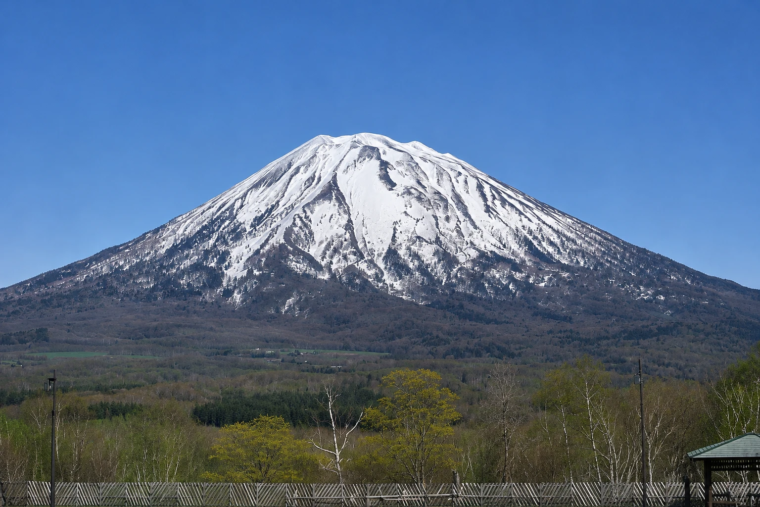
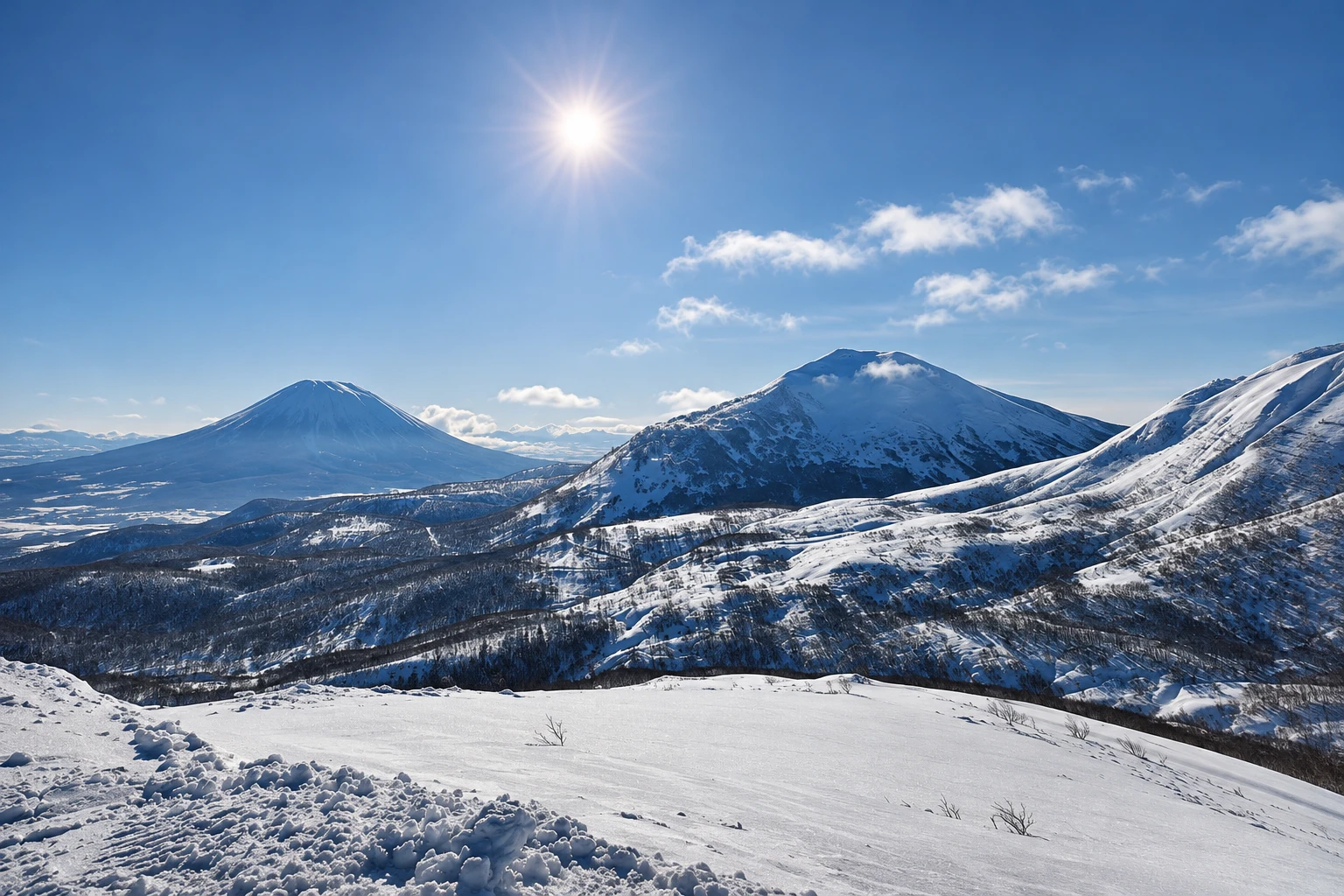
Mount Yotei in pictures
These pictures are illustrations based on the real place, not photographs. They may differ from the place.
Click the picture to enlarge it.
Discover
About Mount Yotei
Mount Yotei is an isolated volcano in southwestern Hokkaido, with an elevation of 1,898 meters, located between Kutchan and the neighboring towns of Makkari, Kimobetsu and Kyogoku. Its nearly perfect cone shape, similar to Mount Fuji, earned it the nickname Ezo Fuji, “the Fuji of Ezo,” Ezo being the old name for Hokkaido. It is part of Shikotsu-Toya National Park.
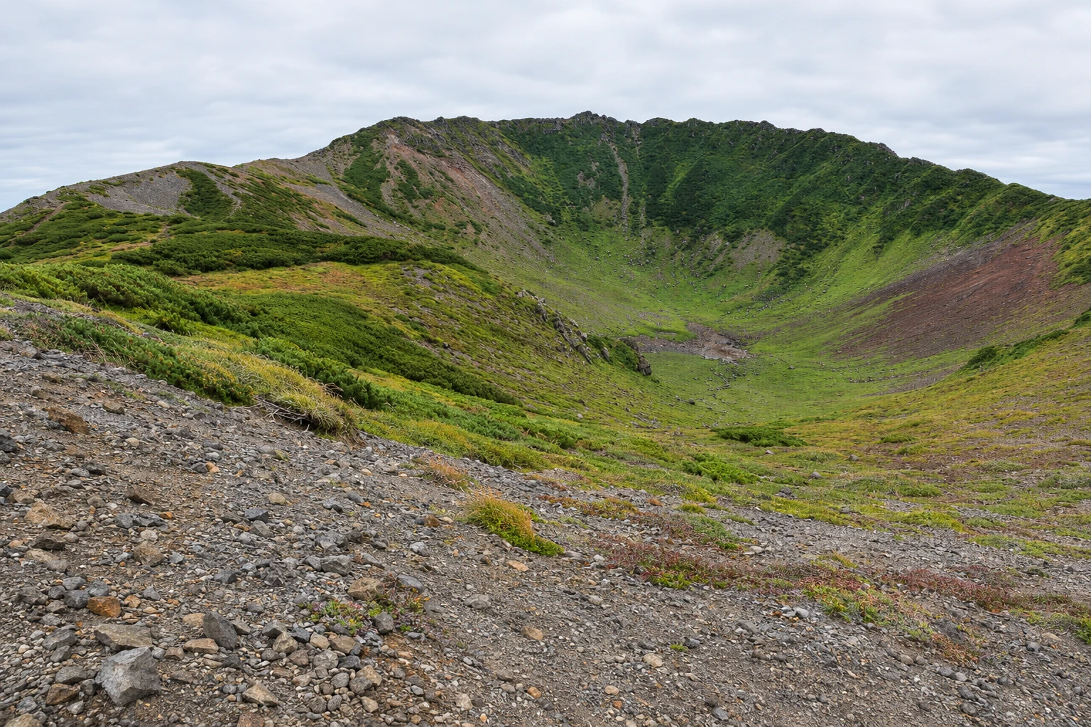
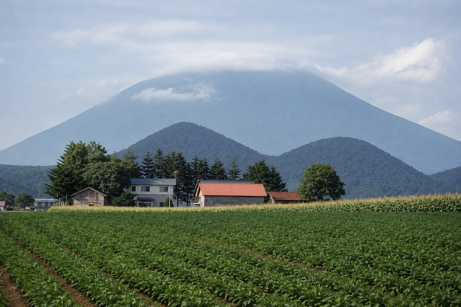
Yotei can be seen from almost every point in Niseko: from the Grand Hirafu runs, the potato fields in the valley and the road to Sapporo. In winter it is entirely white; in summer the snow retreats to the high ravines. At the summit there is a main crater about 700 meters in diameter, surrounded by a trail that circles the rim.
Four trails ascend the mountain, one from each side, including the Kutchan route that starts near Lake Hangetsu. The ascent usually takes 5 to 6 hours to the crater rim, with about 1,500 meters of elevation gain, passing through forest, dwarf pine scrub and rocky slopes with alpine flowers in summer. There is a hut near the top.
The hiking season generally runs from late June to early October; outside that period the mountain is snow-covered and is climbed only by experienced winter mountaineers. Weather changes rapidly at altitude and the wind is often strong. For those who don’t climb, Lake Hangetsu and the Fukidashi spring in Kyogoku, fed by Yotei’s meltwater, show the mountain up close.
Before you go
Practical information
Cidade Turismo reviews its information regularly, but something may have changed. Check with the place before planning your trip.
How much time to set aside
About 8 to 10 hours to ascend and descend via the trail; about one hour for the walk to Lake Hangetsu at the mountain’s base.
Best time
From late June to early October for the trail, on days with stable weather, starting early. Alpine flowers usually appear in July; foliage in late September. Check the forecast before you go up.
How to get there
The Kutchan-side trail starts at the Lake Hangetsu parking area, about 10 km from town center by car or taxi. There is no regular bus service to the trailheads.
Tip
Start the ascent at dawn, carry enough water, warm clothing and a rain jacket, and leave your plan with your lodging. If you don’t climb, see the mountain’s reflection on Lake Hangetsu.
Get your questions answered
Frequently asked questions about Mount Yotei
How long does it take to climb Mount Yotei?
Generally 5 to 6 hours to the crater rim and 3 to 4 hours to descend, with about 1,500 meters of elevation gain.
When can you climb Mount Yotei?
The hiking season generally runs from late June to early October. Outside those months the mountain has snow and requires winter mountaineering experience.
Why is Yotei called the Fuji of Ezo?
Because of its nearly symmetrical cone shape, resembling Mount Fuji. Ezo is the old name for Hokkaido.
Is there a mountain hut on Mount Yotei?
There is a simple mountain hut near the summit. Confirm its availability and conditions of use before planning an overnight stay.
Beyond the guide


