

 Brazil
 Antarctica
 Argentina
 Bolivia
 Chile
 Colombia
 Ecuador
 Guyana
 French Guiana
 Falkland Islands (Malvinas)
 Paraguay
 Peru
 Suriname
 Uruguay
 Venezuela
 Germany
 Austria
 Belgium
 Croatia
 Denmark
 Slovakia
 Slovenia
 Spain
 Finland
 France
 Greece
 the Netherlands
 Hungary
 Ireland
 Iceland
 Italy
 Luxembourg
 Norway
 Poland
 Portugal
 the United Kingdom
 the Czech Republic
 Sweden
 Switzerland
 Turkey
 Bermuda
 Canada
 the United States
 Greenland
 Mexico
 Saint Pierre and Miquelon
 the Dominican Republic
 South Africa
 Egypt
 Australia
 Fiji
 New Zealand
 Papua New Guinea
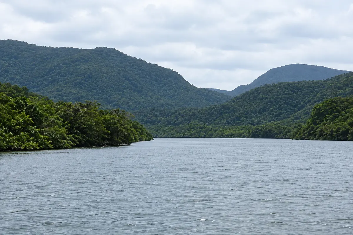
Island · Taketomi, Okinawa
Iriomote Island
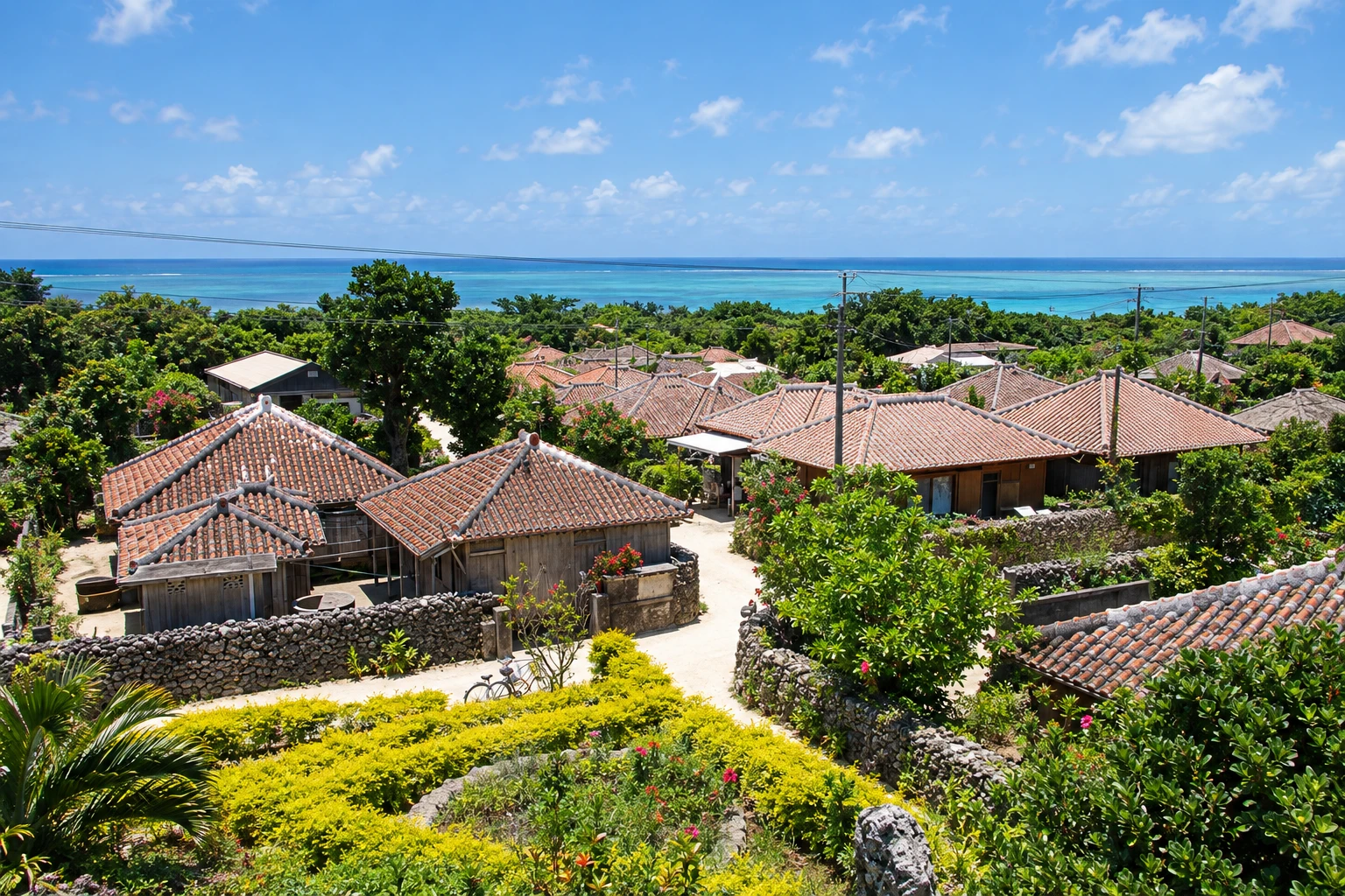
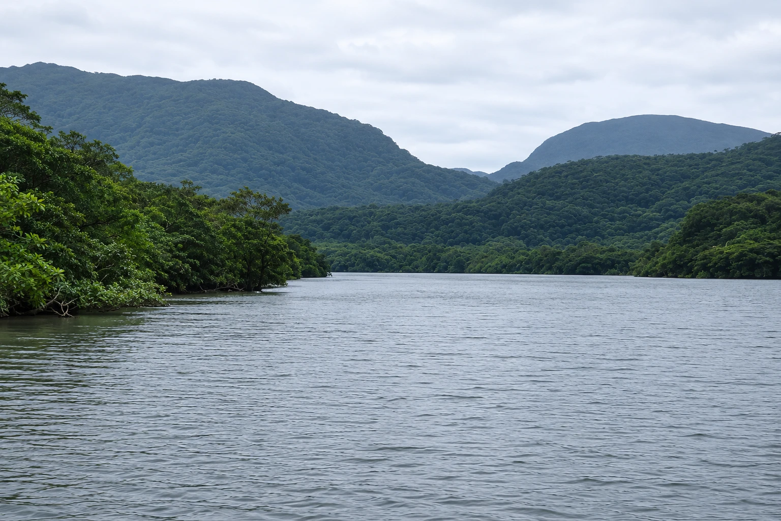
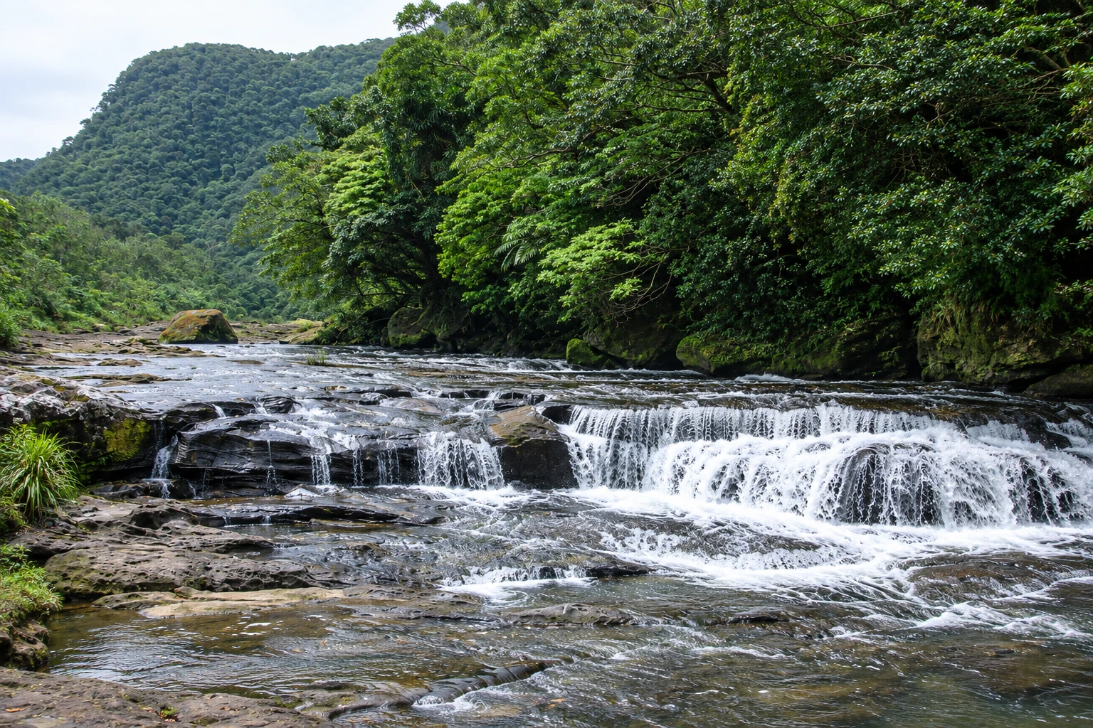
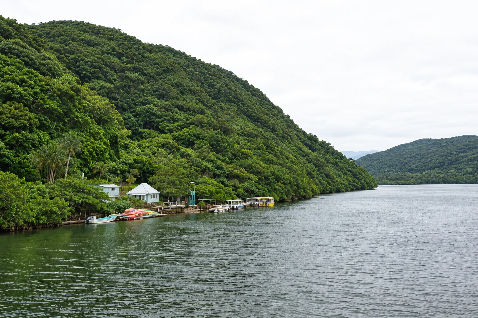
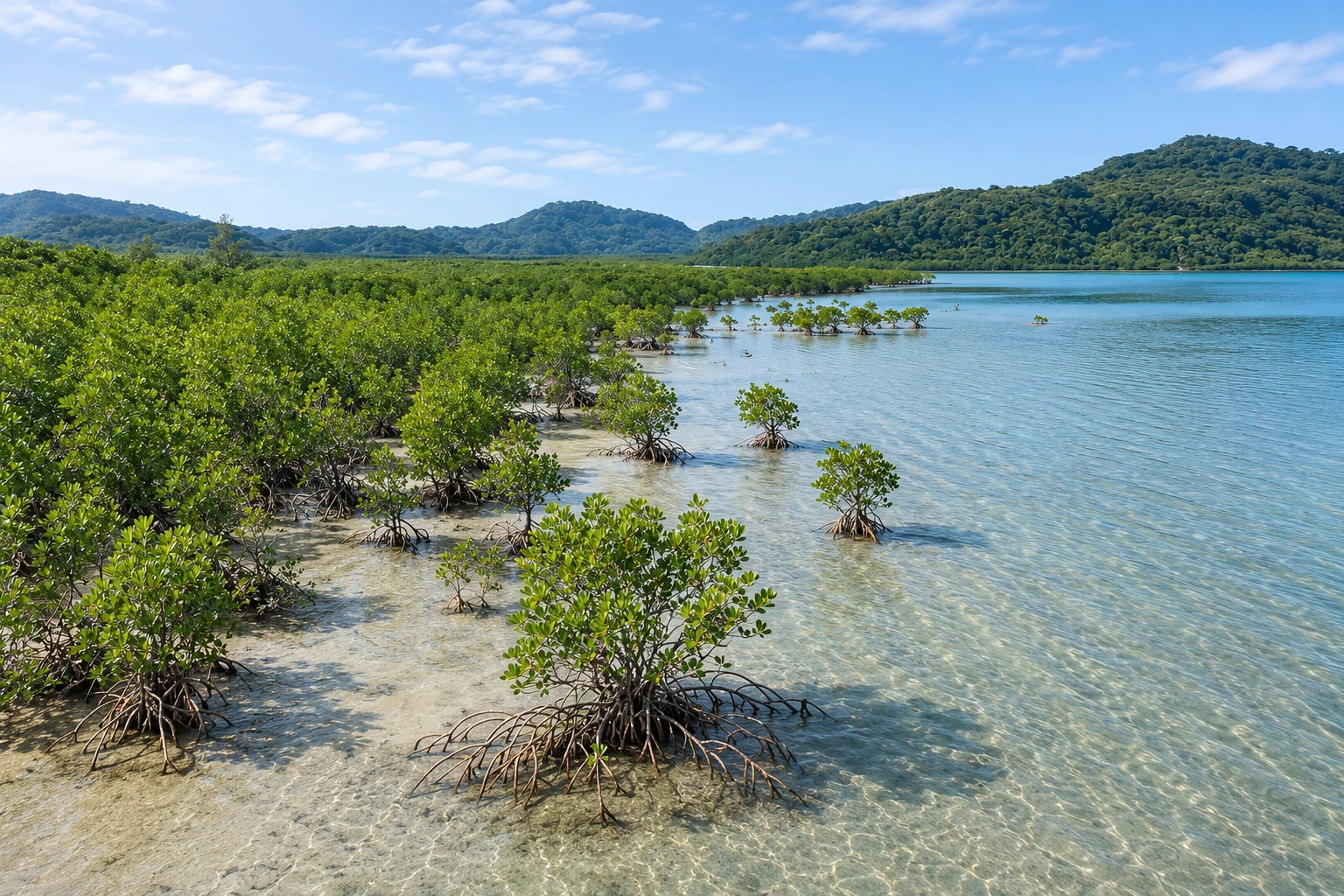
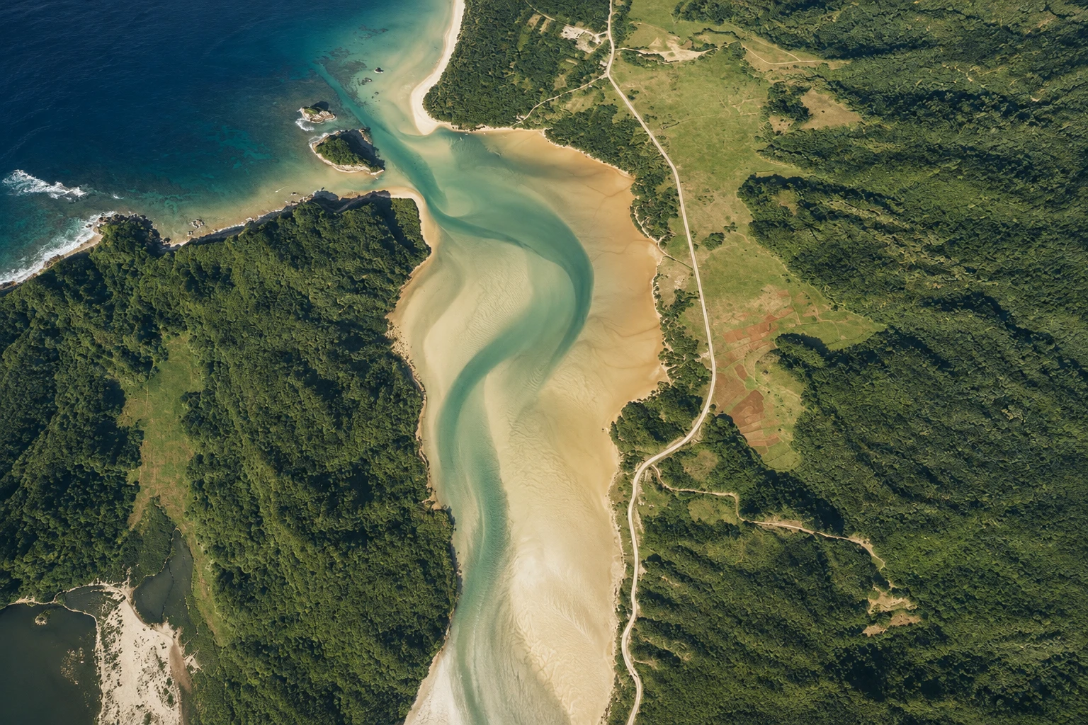
The second-largest island of Okinawa, almost entirely covered by subtropical forest and mangroves, a natural World Heritage site. It has navigable rivers, such as the Urauchi and the Nakama, waterfalls and the Iriomote cat, which exists only there.
Illustrative images. The pictures in this guide are illustrations based on the real place, not photographs, and may differ from it.

A look at the place
Iriomote Island in pictures
These pictures are illustrations based on the real place, not photographs. They may differ from the place.
Click the picture to enlarge it.
Discover
About Iriomote Island
Iriomote is about 30 km west of Ishigaki and is the second-largest island in Okinawa Prefecture, after the main island. About 90% of its territory is subtropical forest and mangrove, with low mountains and rivers that form the largest mangrove areas in Japan. In 2021 it was inscribed as a UNESCO natural World Heritage Site, together with Amami-Oshima, Tokunoshima and the northern part of Okinawa Island, for its biodiversity and species found only there.
The best-known species is the Iriomote cat, a small endangered wild feline that lives only on this island. It is rarely seen; road signs ask drivers to keep low speeds to avoid collisions. The island also hosts birds, fruit bats, mangrove crabs and trees such as Barringtonia, which blooms at night in summer.
The most common visit is the boat tour along the rivers. On the Urauchi, the boat goes upriver through the forest, and a trail of about 2 km leads to the viewpoints for Mariudo and Kampire waterfalls. On the Nakama, near Ohara port, the boat passes among mangroves and stops beside a large sakishima-suonoki tree with plank-like aerial roots. There are also kayak tours, guided trails to Pinaisara waterfall and a water-buffalo cart crossing to the small island of Yubu.
The island has a single road that runs along the east and north coasts, with infrequent buses. Some trails require a guide and some areas have access rules to protect the forest; check before you go.
Before you go
Practical information
Cidade Turismo reviews its information regularly, but something may have changed. Check with the place before planning your trip.
How much time to set aside
A full day; two to three days for trails and kayaking.
Best time
From March to June and from September to November, with milder heat; rivers usually have more water after the May rains. July and August are very hot, and from August to October typhoons can suspend boats. Uehara port tends to have more cancellations with northerly winds, especially in winter.
How to get there
Boats depart from Ishigaki port terminal for Ohara in about 40 minutes, and for Uehara in about 45–50 minutes. On the island, buses connect the ports to tour departure points; many operators provide transfers.
Tip
Book boat tours and guided trails in advance and check which port the boat uses that day. Bring insect repellent, footwear that can get wet and water. Drive slowly: the Iriomote cat crosses the roads.
Official website
Get your questions answered
Frequently asked questions about Iriomote Island
Can you visit Iriomote as a day trip from Ishigaki?
Yes. With a morning boat, a river tour and a return in the late afternoon, it fits in one day. Boat companies’ packages combine tours with transfers.
What is the Urauchi river tour like?
The boat goes upriver through the forest for about 30 minutes and stops at a small pier. From there, a trail of about 2 km leads to the viewpoints for Mariudo and Kampire waterfalls. Allow 3 to 4 hours in total.
Is it possible to see the Iriomote cat?
It is very rare: the animal is nocturnal, elusive and endangered. The island’s wildlife conservation center has information about it.
Do I need a guide for Iriomote’s trails?
For several trails, yes — because of river crossings, heat and protection rules. Local operators offer guided trails and kayaking.
Is Iriomote part of the municipality of Taketomi?
Yes. Iriomote, Taketomi, Kohama, Hateruma and other islands form the municipality of Taketomi, whose administrative office is in Ishigaki.
Beyond the guide


