

 Brazil
 Antarctica
 Argentina
 Bolivia
 Chile
 Colombia
 Ecuador
 Guyana
 French Guiana
 Falkland Islands (Malvinas)
 Paraguay
 Peru
 Suriname
 Uruguay
 Venezuela
 Germany
 Austria
 Belgium
 Croatia
 Denmark
 Slovakia
 Slovenia
 Spain
 Finland
 France
 Greece
 the Netherlands
 Hungary
 Ireland
 Iceland
 Luxembourg
 Norway
 Poland
 Portugal
 the United Kingdom
 the Czech Republic
 Sweden
 Switzerland
 Turkey
 Bermuda
 Canada
 the United States
 Greenland
 Mexico
 Saint Pierre and Miquelon
 the Dominican Republic
 Japan
 South Africa
 Egypt
 Australia
 Fiji
 New Zealand
 Papua New Guinea
Illustrative images. The pictures in this guide are illustrations based on the real place, not photographs, and may differ from it.

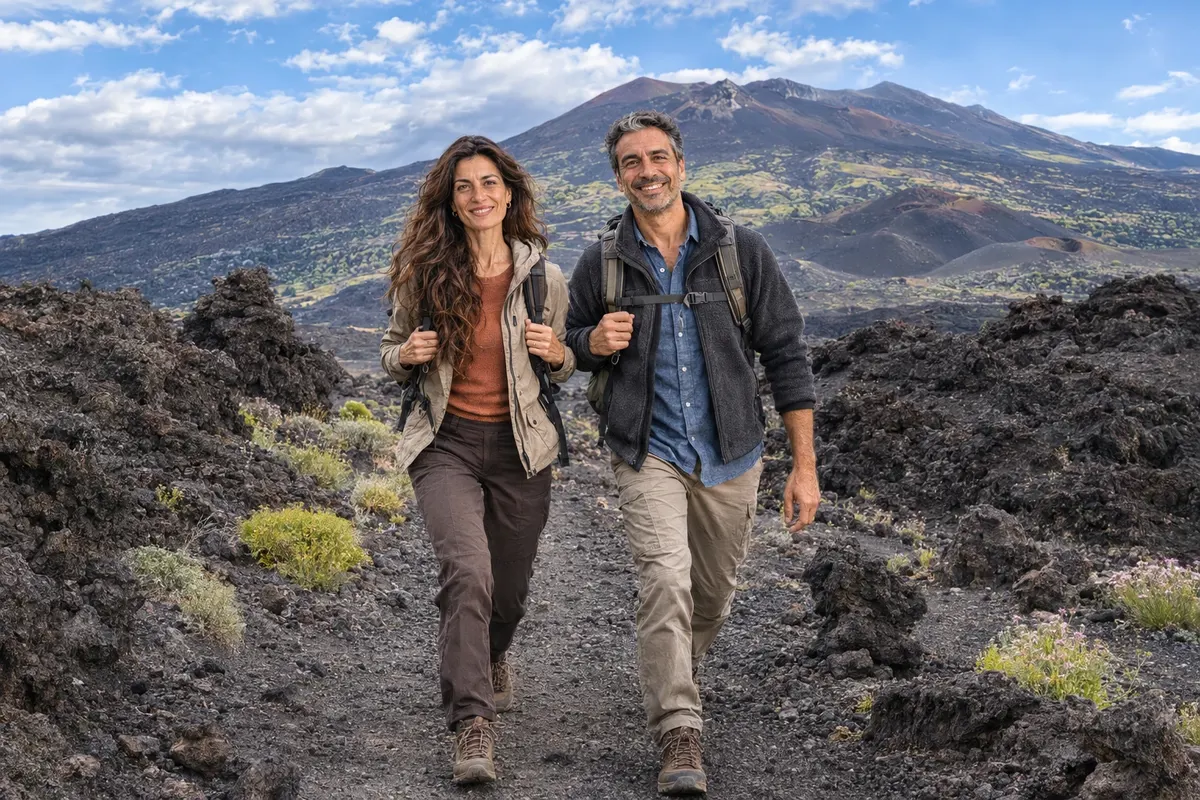
Mountains and nature
Explore volcanic landscapes
Trace the signs of the 1669 eruption around Castello Ursino in Catania.
Find Ursino Castle on a map of Catania. It stands in the historic center, surrounded by streets, and nothing in the city’s layout today explains why anyone would have chosen that spot to defend the coast. The answer lies in a layer of lava. During Mount Etna’s great eruption of 1669, the lava flow reached the fortress and advanced into the sea, creating land where there had once been water.
The walk takes place at street level. As you circle the fortress, look for two stories in the same dark stone: the volcanic rock the builders cut to raise the walls, and the lava that arrived centuries later and covered part of the defenses. A walk around the outside takes on new meaning when you know what to look for.
A fortress built by the sea
Ursino Castle was built in the 13th century on the orders of Frederick II. Its four large towers mark the corners of a square. Picture the same building at the edge of the medieval city, overlooking anyone approaching by sea. The towers’ position relative to the shore was as important to the castle’s defense as the thickness of its walls.
Find a spot in the square where you can frame two towers in a single view. Then look at a map and find a view that shows both the fortress and the sea. The city blocks between them give you a sense of how far the shoreline has shifted.
The path of the 1669 lava flow
The lava flowing down from Mount Etna met obstacles when it reached Catania. At the castle, it surrounded the walls, filled the moat, and covered the sloping bases of the towers. The building remained standing as the ground around it rose. Farther on, lava built up in the water and eventually reshaped the coastline.
Look closely where the castle wall meets the ground. The cut blocks laid in rows are part of the castle. The mass of rock pressed up against the wall marks the path of the lava flow. You can tell the two apart by their shape and position. The dark color alone tells you little: builders had been working with volcanic rock long before that eruption.
What to look for as you walk around the castle
As you walk around the castle, take a close look at the joints between the blocks. Then step back into the square to compare the street level with the bases of the towers. Parts of the walls remained buried beneath the ground residents began walking on after the eruption.
The moat also tells you what happened after the eruption. Restoration work removed some of the lava, exposing sections of the old defenses again. From the square, you can see evidence of at least three stages in the site’s history: the castle by the sea, the ground covered by the lava flow, and the excavations that brought parts of the structure back into view.
How to fit the walk into a visit to Catania
You can include the area around the castle in a walk through the historic center. If you’re with children, try finding the sea on a present-day map first, then ask them to draw where they think the medieval shoreline was.
The castle houses the Civic Museum, with collections of art and archaeology. If you’d like to visit, check the schedule for the day and set aside time for the collections. To see the traces of the lava flow, focus on the areas outside the castle that are open to pedestrians.
Frequently asked questions
Which volcano did the lava that surrounded Ursino Castle come from?
It came from Mount Etna during the eruption of 1669. The lava flow reached Catania and entered the sea near the fortress.
Does the walk take you to a crater?
The route stays in the city, where the lava has long since hardened. The idea is to see how a past eruption shaped Catania’s terrain and affected its buildings.
Was the castle rebuilt farther from the sea?
The fortress is still on its original site. The lava flow created new land beyond the old shoreline, leaving the building farther from the water.
Do I need to go inside the museum to understand the landscape?
With a map to guide you, you can see where the towers stand, look at the moat, and gauge the distance to the shore as you walk around the outside. A museum visit also lets you see the castle interior and the collections.
Where to go: Exploring volcanic landscapes
Pick a region or type what you are looking for to see the cities and who offers it in each.
More activities in Mountains and nature
Beyond the guide


