

 Brazil
 Argentina
 Bolivia
 Chile
 Colombia
 Ecuador
 Guyana
 French Guiana
 Falkland Islands (Malvinas)
 Paraguay
 Peru
 Suriname
 Uruguay
 Venezuela
 Germany
 Austria
 Belgium
 Croatia
 Denmark
 Slovakia
 Slovenia
 Spain
 Finland
 France
 Greece
 the Netherlands
 Hungary
 Ireland
 Iceland
 Italy
 Luxembourg
 Norway
 Poland
 Portugal
 the United Kingdom
 the Czech Republic
 Sweden
 Switzerland
 Turkey
 Bermuda
 Canada
 Mexico
 the Dominican Republic
 South Africa
 Egypt
 Australia
 Fiji
 New Zealand
 Papua New Guinea
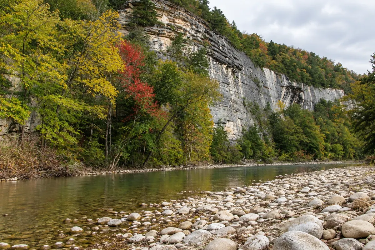
Natural area · Eureka Springs, Arkansas
Buffalo National River
The United States’ first national river, running free of dams through limestone cliffs in the Ozarks, with trails, waterfalls, overlooks and canoe trips from Ponca.
Illustrative images. The pictures in this guide are illustrations based on the real place, not photographs, and may differ from it.



Discover
About Buffalo National River
The Buffalo River runs about 217 km through the Arkansas Ozarks without any dams. In 1972 it became the first national river in the United States, protected by the National Park Service along with its banks and bluffs.
The most visited section is the upper Buffalo, near the village of Ponca, about 90 km by road from Eureka Springs. There the river passes between limestone bluffs more than 100 meters high, such as Big Bluff, and cuts through oak and walnut forests.
The Lost Valley trail, about 3.5 km round trip, leads to a waterfall, a natural stone bridge and a cave. The Hawksbill Crag trail, or Whitaker Point, ends on an outcropping overlooking the valley, one of the most photographed views in Arkansas. Near Ponca, the Boxley Valley area often has elk grazing in the fields at dawn and late afternoon.
Canoe and kayak trips depend on the water level, which is higher in spring.
Before you go
Practical information
Cidade Turismo reviews its information regularly, but something may have changed. Check with the place before planning your trip.
How much time to set aside
From half a day to a full day.
Best time
From March to June, with higher river levels and flowing waterfalls, and in October, with the fall colors.
How to get there
Ponca is about 90 km from Eureka Springs via US-62 and AR-21 on mountain roads, roughly an hour and a half by car.
Tip
Cell signal is weak in the area: download maps beforehand. Check the river level and canoe outfitters before you go.
Official website
Get your questions answered
Frequently asked questions about Buffalo National River
When is it best to canoe on the Buffalo River?
In spring, from March to June, when water levels usually allow trips on the upper Buffalo. In summer the upper section can become shallow.
What is the easiest trail on the Buffalo River?
The Lost Valley trail, about 3.5 km round trip, with a waterfall, natural bridge and cave.
Can you see elk on the Buffalo River?
Elk often appear in the Boxley Valley fields near Ponca at dawn and late afternoon, especially in autumn and winter.